The Tongue
Wood, Forest in Angus
Scotland
The Tongue
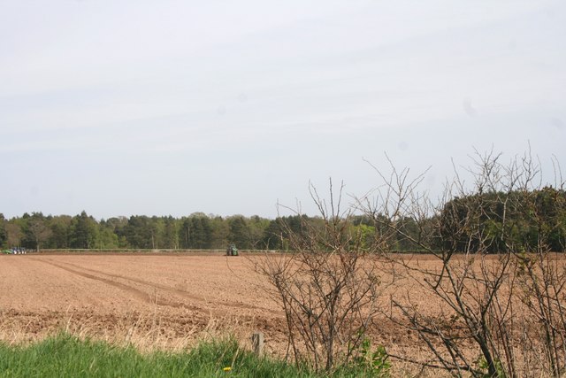
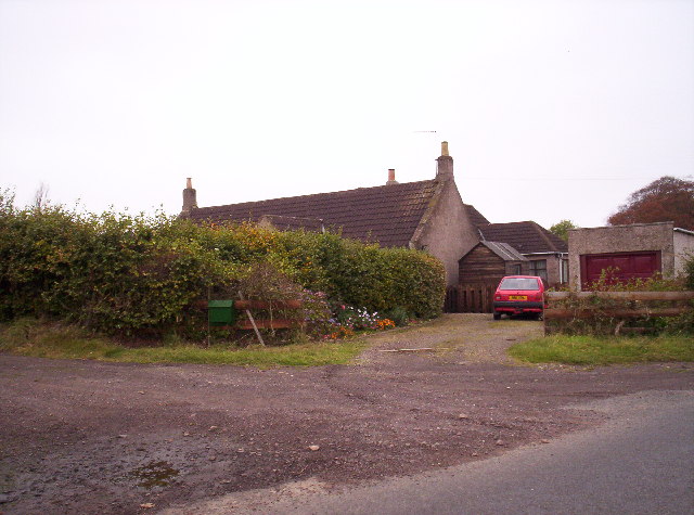
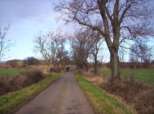
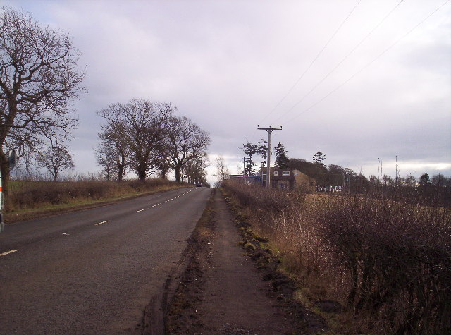
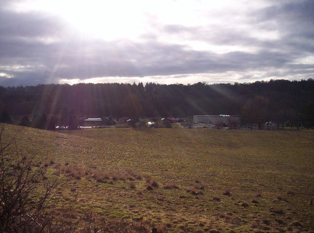
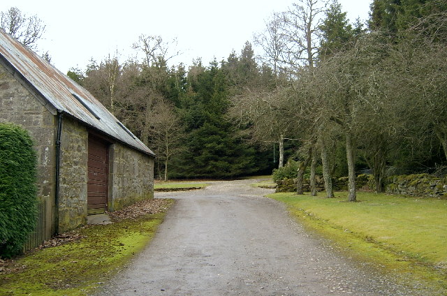
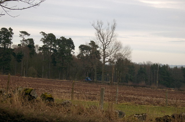
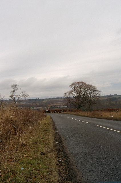
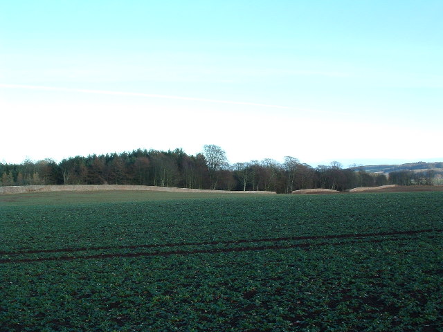
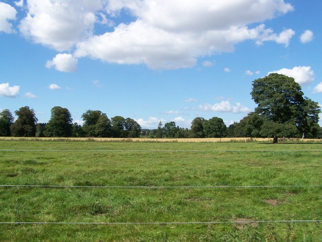
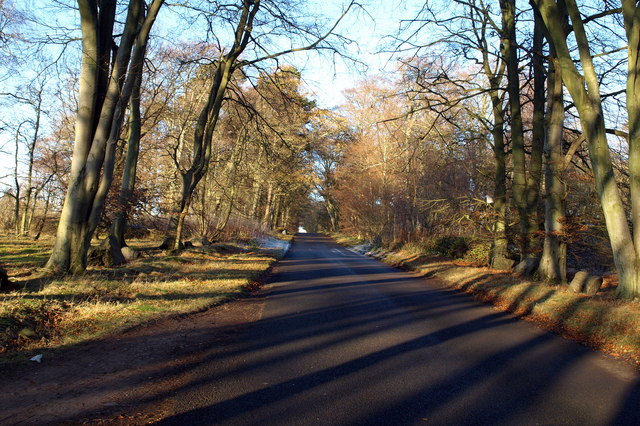
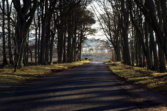
The Tongue, Angus, also known as the Wood of Tongue, is a forest located in the county of Angus, Scotland. Covering an area of approximately 20 square kilometers, it is situated about 10 kilometers northwest of the town of Forfar. The forest is part of the larger Glen Isla and Glen Prosen landscape, which is known for its scenic beauty and rich biodiversity.
The Tongue is characterized by its dense woodland, consisting primarily of native broadleaf trees such as oak, birch, and rowan. These trees create a lush and vibrant habitat for a variety of wildlife, including red squirrels, roe deer, and numerous bird species. The forest is also home to a number of plant species, such as bluebells and wild garlic, which thrive in the damp and shaded conditions.
The Tongue offers a range of recreational activities for visitors to enjoy. There are several walking trails that wind through the forest, providing opportunities for peaceful strolls and wildlife spotting. The forest is also popular among birdwatchers, who come to observe species such as woodpeckers, owls, and buzzards.
In addition to its natural beauty, The Tongue has historical significance. The area has evidence of human occupation dating back thousands of years, with archaeological sites, such as stone circles and burial cairns, scattered throughout the forest. These remnants are a testament to the long and fascinating history of the region.
Overall, The Tongue, Angus is a captivating woodland that offers both natural and historical attractions to its visitors. Its lush vegetation, diverse wildlife, and tranquil atmosphere make it a cherished destination for nature enthusiasts and history buffs alike.
If you have any feedback on the listing, please let us know in the comments section below.
The Tongue Images
Images are sourced within 2km of 56.713129/-2.6124192 or Grid Reference NO6258. Thanks to Geograph Open Source API. All images are credited.
The Tongue is located at Grid Ref: NO6258 (Lat: 56.713129, Lng: -2.6124192)
Unitary Authority: Angus
Police Authority: Tayside
What 3 Words
///radar.punters.bikers. Near Brechin, Angus
Nearby Locations
Related Wikis

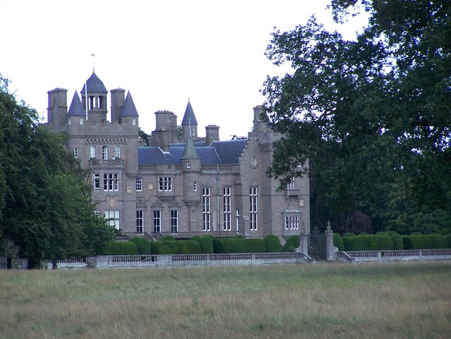
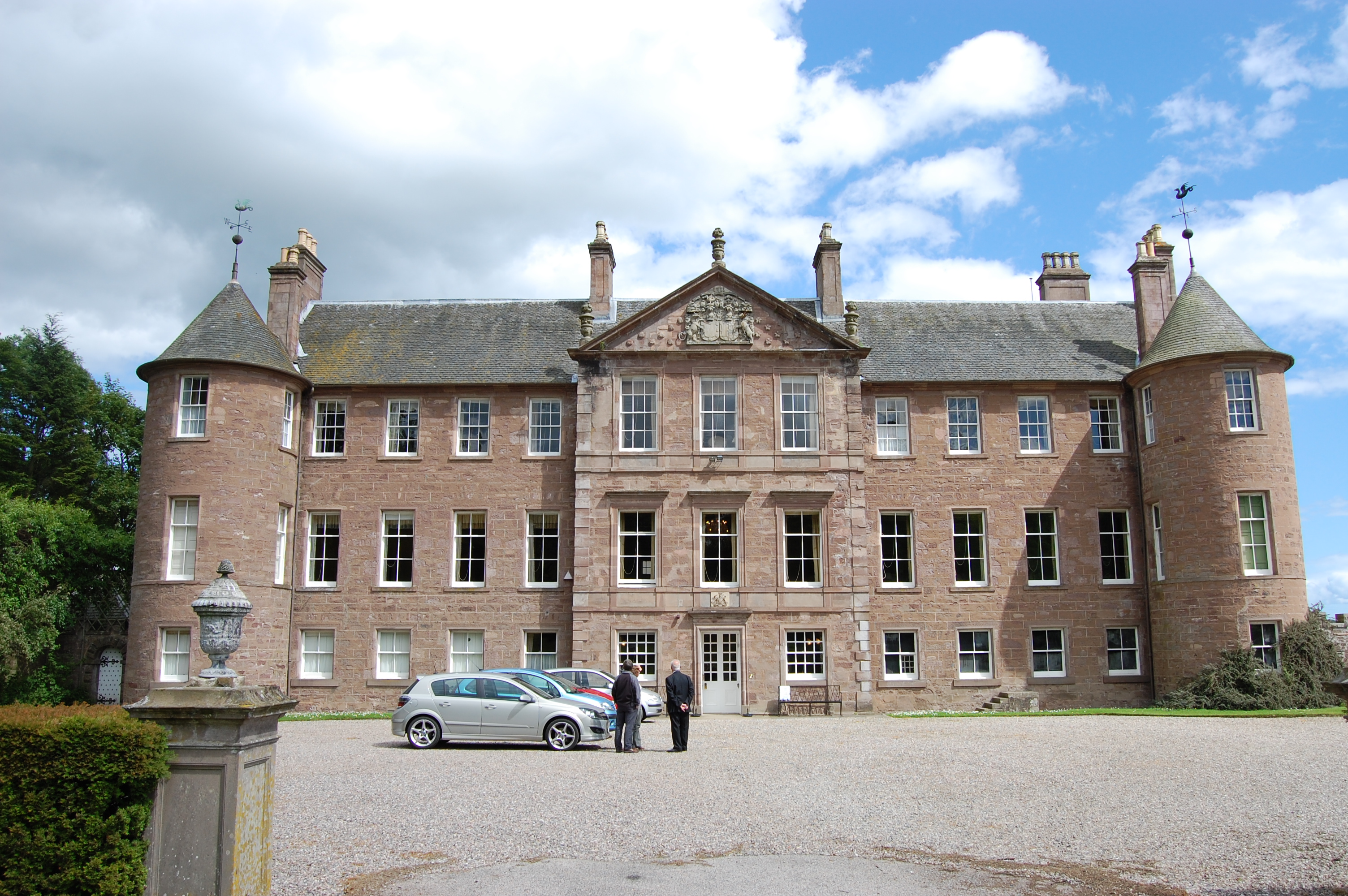
Kinnaird Castle, Brechin
Kinnaird Castle is a 15th-century castle near Brechin in Angus, Scotland. The castle has been home to the Carnegie family, the Earls of Southesk, for more...

Farnell, Angus
Farnell is a village in Angus, Scotland. It lies 2 miles south of the River South Esk, between Brechin and Montrose, near Kinnaird Castle. == References ==

Brechin Victoria F.C.
Brechin Victoria Junior Football Club are a Scottish Junior football club based in Brechin, Angus. Their home ground is Victoria Park. The club have recently...
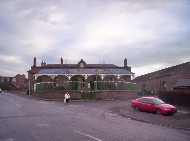
Farnell Road railway station
Farnell Road railway station served the village of Farnell, Angus, Scotland from 1848 to 1956 on the Aberdeen Railway. == History == The station opened...
Caledonian Railway (Brechin)
The Caledonian Railway (Brechin) Ltd is a private limited company formed by a group of steam railway enthusiasts, the Brechin Railway Preservation Society...
Brechin railway station
Brechin is a station in Angus, on the Caledonian Railway line. == History == The station opened for business on 1 February 1848. Initially four trains...

Brechin
Brechin (; Scottish Gaelic: Breichin) is a town and former Royal burgh in Angus, Scotland. Traditionally Brechin was described as a city because of its...
Brechin Castle
Brechin Castle is a castle in Brechin, Angus, Scotland. The castle was constructed in stone during the 13th century. Most of the current building dates...
Related Videos

Autumn Kinnaird Church With Music On History Visit To Carse of Gowrie Perthshire Scotland
Tour Scotland 4K Autumn travel video, with Scottish Music, of the Parish Church and trees on ancestry, genealogy, family history ...
Nearby Amenities
Located within 500m of 56.713129,-2.6124192Have you been to The Tongue?
Leave your review of The Tongue below (or comments, questions and feedback).