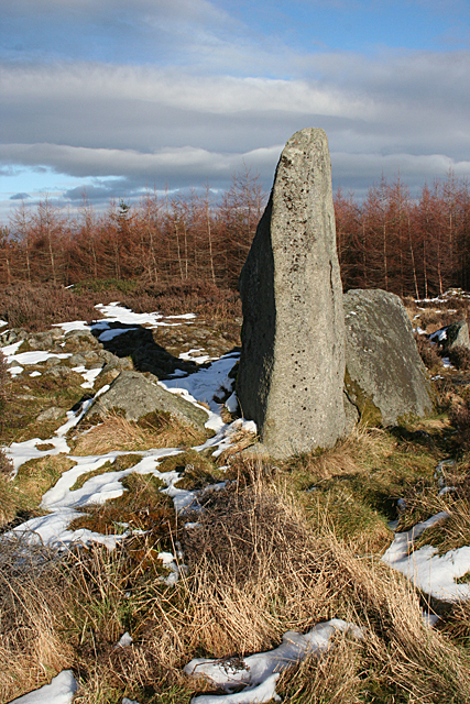
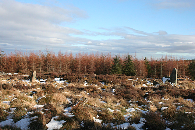
Kirkton Moss
Wood, Forest in Aberdeenshire
Scotland
Kirkton Moss
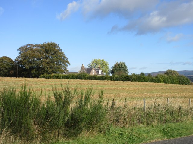
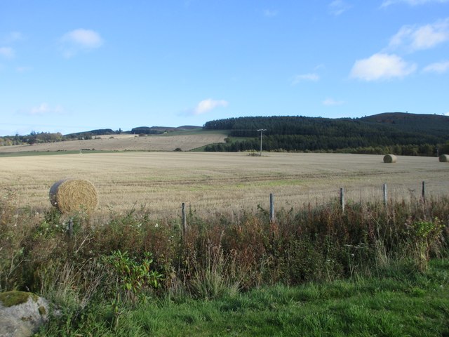
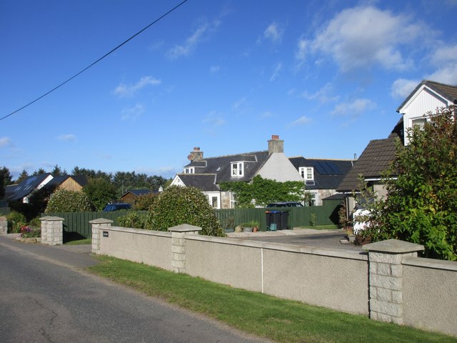
Kirkton Moss is a picturesque wood located in Aberdeenshire, Scotland. Known for its abundant natural beauty, this forested area covers a vast expanse of approximately 500 acres. It is situated just a few miles to the north of the town of Inverurie, making it easily accessible for both locals and tourists alike.
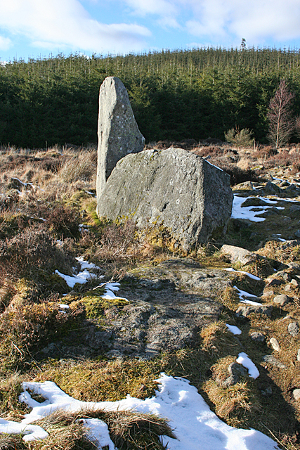
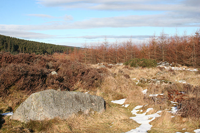
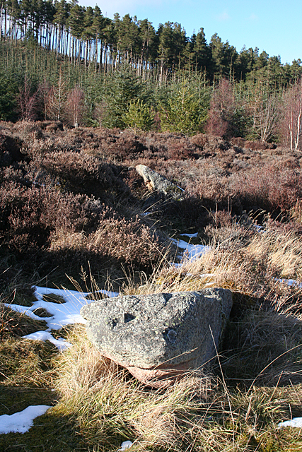
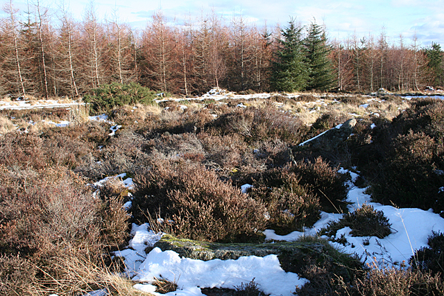
The moss is characterized by its dense woodland, consisting primarily of tall, mature trees that create a serene and peaceful atmosphere. The dominant tree species in this area are native Scots pines, which form a dense canopy that provides shade and shelter to a diverse range of flora and fauna.
The forest floor is covered in a thick layer of moss, hence the name Kirkton Moss. This carpet of moss gives the woodland a unique and enchanting appearance, especially during the wetter seasons when it becomes even more vibrant and lush.
The moss is home to a wide variety of wildlife, including deer, foxes, badgers, and numerous species of birds. It is also a popular spot for birdwatching enthusiasts due to the presence of several bird species, such as woodpeckers, owls, and songbirds.
Visitors to Kirkton Moss can enjoy a range of recreational activities, including hiking, walking, and nature photography. There are well-maintained trails that wind through the forest, allowing visitors to explore its beauty at their own pace.
Overall, Kirkton Moss is a true gem of Aberdeenshire, offering a tranquil escape into nature for all who visit.
If you have any feedback on the listing, please let us know in the comments section below.
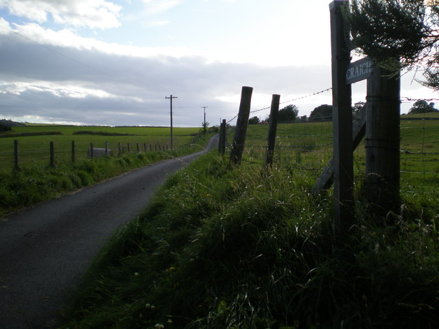
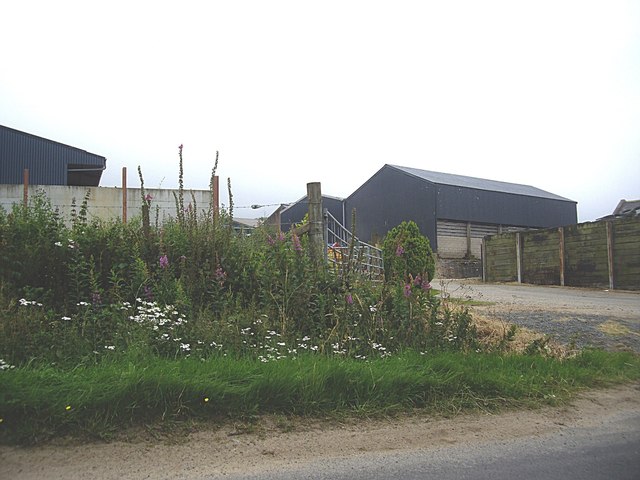
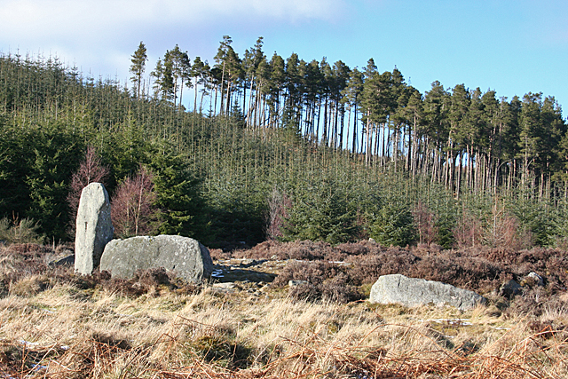
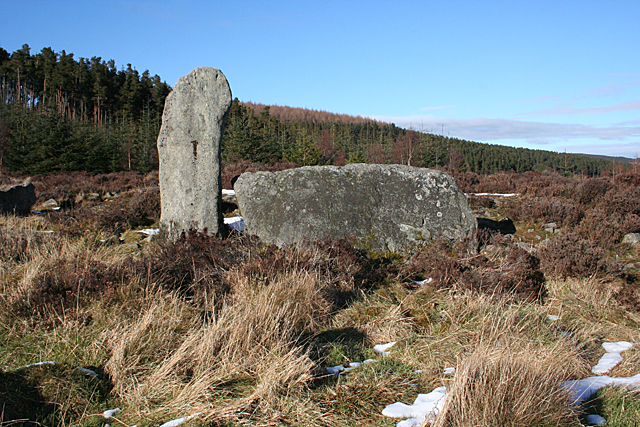
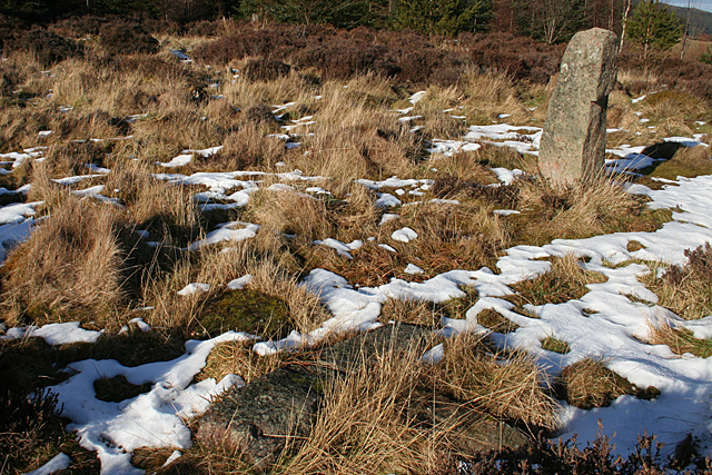
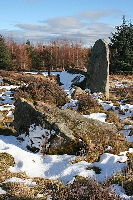
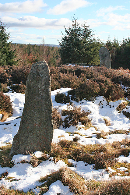
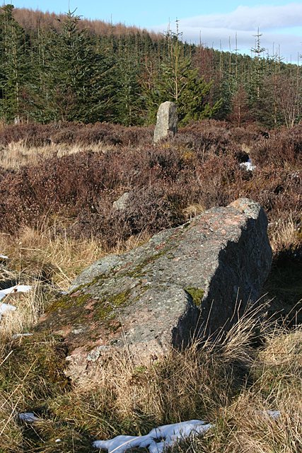
Kirkton Moss Images
Images are sourced within 2km of 57.208555/-2.6207355 or Grid Reference NJ6213. Thanks to Geograph Open Source API. All images are credited.
Kirkton Moss is located at Grid Ref: NJ6213 (Lat: 57.208555, Lng: -2.6207355)
Unitary Authority: Aberdeenshire
Police Authority: North East
What 3 Words
///amps.value.parrot. Near Alford, Aberdeenshire
Nearby Locations
Related Wikis

Kirkton of Tough
Kirkton of Tough, usually shortened to Tough ( TUUKH), is a settlement in the Marr area of Aberdeenshire, Scotland at grid reference NJ615129. It is about...

Whitehouse railway station (Scotland)
Whitehouse railway station was a station in Whitehouse, Aberdeenshire. It opened with the along with the rest of the Alford Valley Railway line from Kintore...
Tillyfourie railway station
Tillyfourie railway station was a railway station serving Tillyfourie, Aberdeenshire, Scotland. The station opened on 2 June 1860 on the Alford Valley...

Tillyfourie
Tillyfourie is a hamlet in Aberdeenshire, Scotland. It is situated at the junction between the A944 road and the B993 road. A disused quarry and a stone...

Tillycairn Castle
Tillycairn Castle is an L-plan castle, dating from the 16th century, standing on high ground around 2.0 miles (3.2 km) south-east of Cluny in Aberdeenshire...

Balfluig Castle
Balfluig Castle is an L-plan tower house, dating from the mid-16th century, a mile south of Alford, in the Howe of Alford, Aberdeenshire, Scotland. The...

A944 road
The A944 road connects Aberdeen with Strathdon in north-east Scotland. == Route == It originates at the Lang Stracht in the city, which is a re-routing...
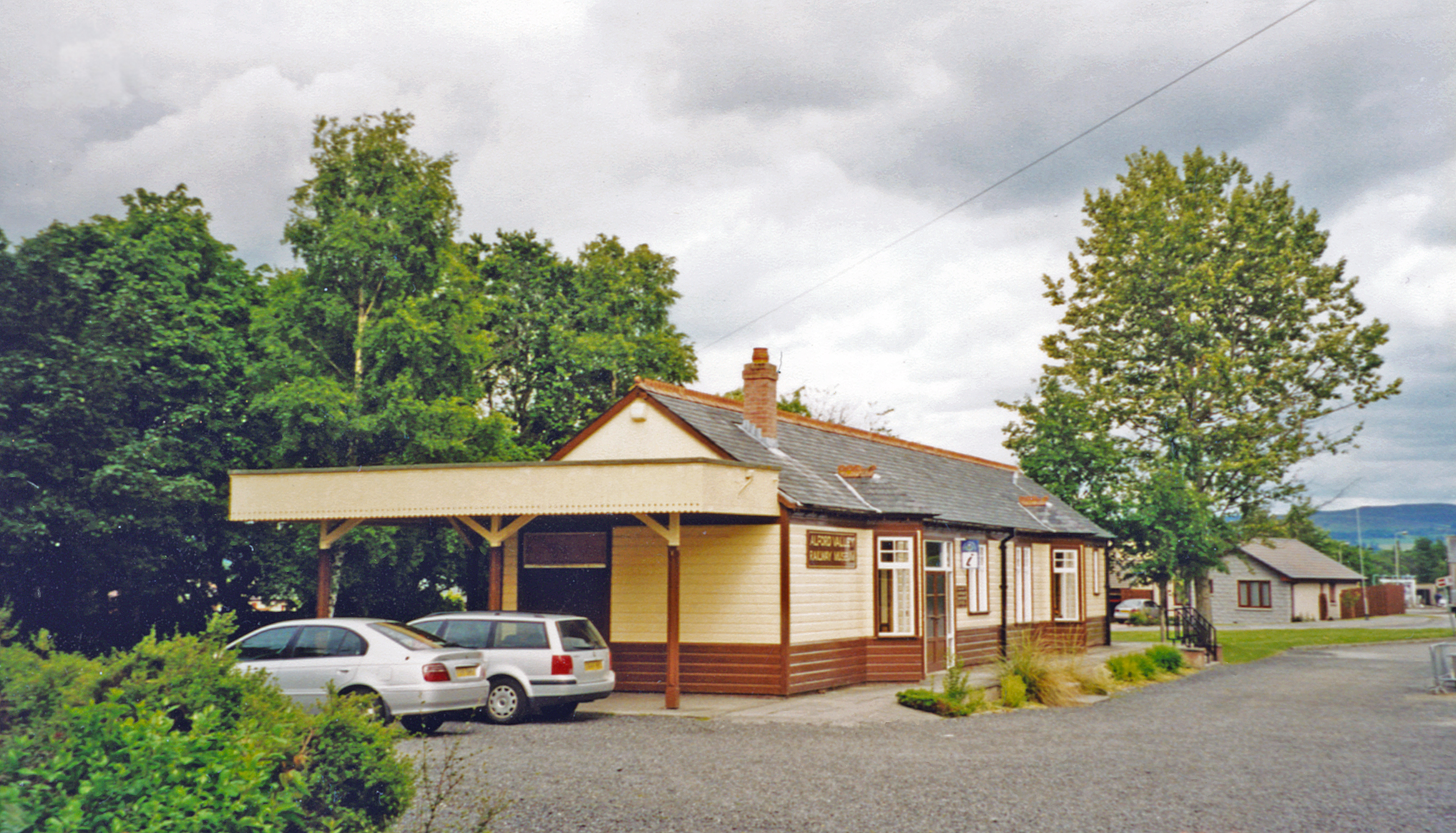
Alford railway station
Alford railway station is a former railway station in Alford, Aberdeenshire which now serves as a terminus for tourist narrow gauge railway, the Alford...
Related Videos
Tillyfourie Quarry Aberdeenshire
19th sep 2020 #Tillyfourie Quarry #Aberdeenshire.
Nearby Amenities
Located within 500m of 57.208555,-2.6207355Have you been to Kirkton Moss?
Leave your review of Kirkton Moss below (or comments, questions and feedback).