Craigenhigh Wood

Wood, Forest in Aberdeenshire

Scotland

Craigenhigh Wood

Moorland of Red Hill with fence, boundary stone and woodland The fence crosses the north end of Red Hill on Corrennie Moor. The boundary stone is unmarked - others seen in the area are cut with letters. Beyond the trees can be seen Green Hill.
Moorland of Red Hill with fence, boundary stone and woodland Credit: Trevor Littlewood

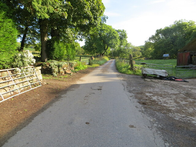
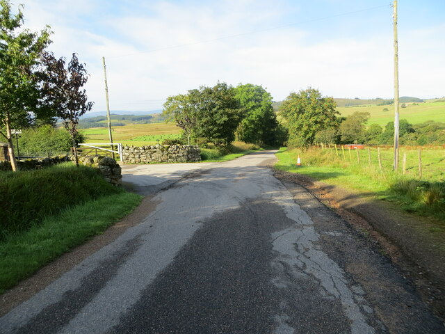
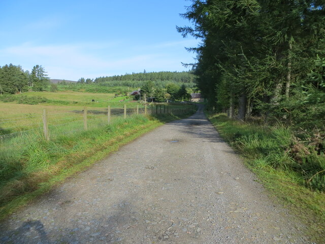
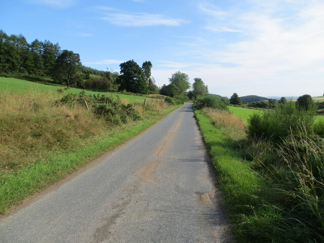
Craigenhigh Wood is a picturesque forest located in Aberdeenshire, Scotland. Covering an area of approximately 100 acres, it is a popular destination for nature lovers and outdoor enthusiasts. The wood is situated near the village of Craigenhigh, surrounded by rolling hills and breathtaking landscapes.

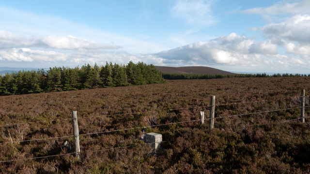
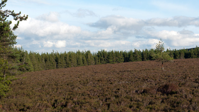
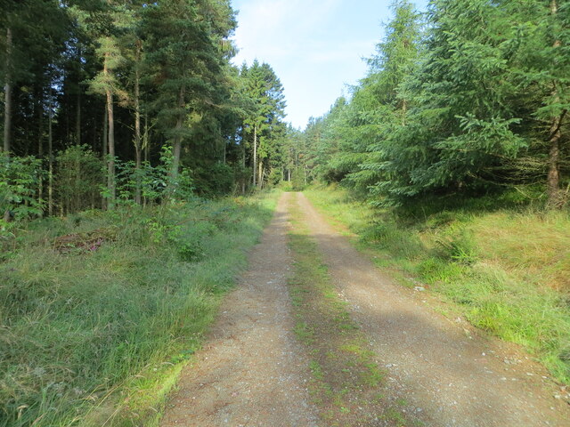
The forest boasts a diverse range of flora and fauna, making it an important ecological site. Visitors can expect to see a variety of tree species, including oak, birch, and pine, which provide a dense canopy and create a tranquil atmosphere. The forest floor is covered in a lush carpet of ferns, moss, and wildflowers, adding to its natural beauty.

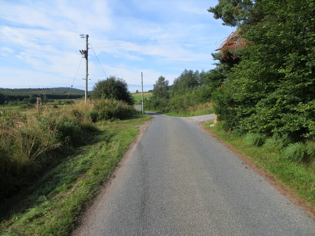
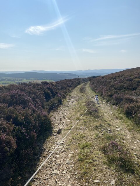
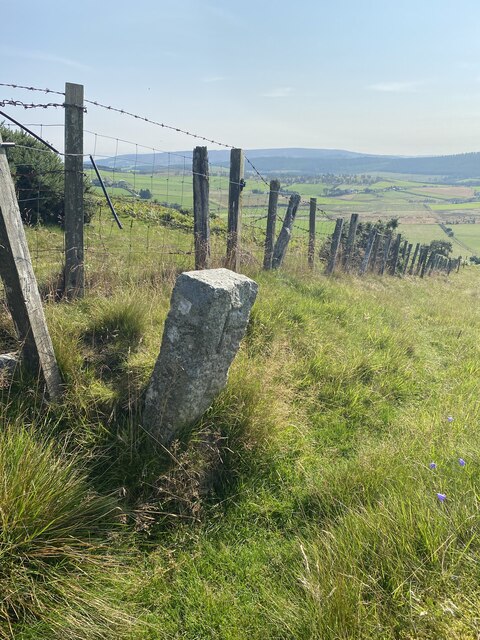
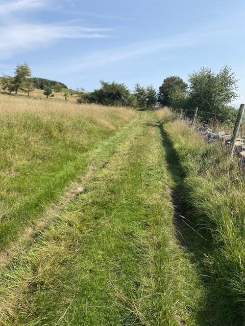
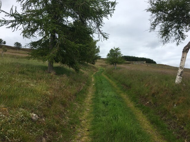
Craigenhigh Wood offers several well-maintained walking trails, allowing visitors to explore its enchanting surroundings. These trails are suitable for all ages and fitness levels, providing an opportunity to enjoy the peace and serenity of the woodland. The paths wind through the forest, offering glimpses of wildlife such as red squirrels, deer, and a wide array of bird species.

Additionally, the forest is home to a small pond, which serves as a habitat for various aquatic creatures. It is a perfect spot for nature observation and photography, especially during the spring and summer months when the pond teems with life.

Overall, Craigenhigh Wood is a hidden gem in Aberdeenshire, offering a peaceful retreat from the hustle and bustle of daily life. Its natural beauty, diverse wildlife, and well-maintained trails make it an ideal destination for those seeking a connection with nature.

If you have any feedback on the listing, please let us know in the comments section below.

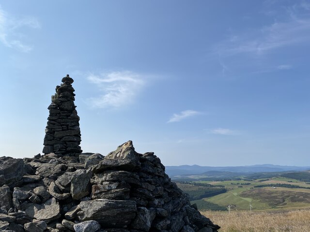
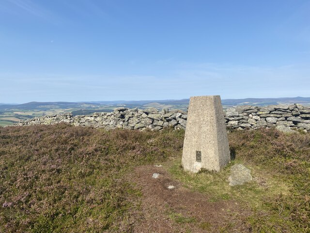
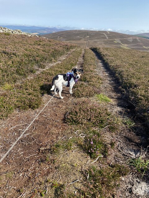
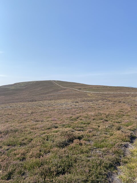
Craigenhigh Wood Images

Images are sourced within 2km of 57.164683/-2.6203802 or Grid Reference NJ6208. Thanks to Geograph Open Source API. All images are credited.

Moorland of Red Hill with fence, boundary stone and woodland The fence crosses the north end of Red Hill on Corrennie Moor. The boundary stone is unmarked - others seen in the area are cut with letters. Beyond the trees can be seen Green Hill.
Moorland of Red Hill with fence, boundary stone and woodland
The fence crosses the north end of Red Hill on Corrennie Moor. The boundary stone is unmarked - others seen in the area are cut with letters. Beyond the trees can be seen Green Hill.
Heather moorland surrounded by trees North-east of Red Hill, part of Corrennie Moor, conifer plantings surround an area of heather moorland. A rogue tree stands alone.
Heather moorland surrounded by trees
North-east of Red Hill, part of Corrennie Moor, conifer plantings surround an area of heather moorland. A rogue tree stands alone.
Minor road at Milton of Tolmauds Looking north-eastward.
Minor road at Milton of Tolmauds
Looking north-eastward.
Minor road at the entrance to Easter Tolmauds Looking south-westward.
Minor road at the entrance to Easter Tolmauds
Looking south-westward.
Track giving access to Ewens Croft Looking north-westward.
Track giving access to Ewens Croft
Looking north-westward.
Minor road near to Corrennie Looking south-westward.
Minor road near to Corrennie
Looking south-westward.
Minor road between Baudygaun and Rinalloch Looking north-eastward.
Minor road between Baudygaun and Rinalloch
Looking north-eastward.
Tree-lined track giving access to Corrennie Croft Looking westward.
Tree-lined track giving access to Corrennie Croft
Looking westward.
Cairn near Benaquhallie
Benaquhallie Trig Point Flush Bracket S5259
Path that doesn't exist on the map!
View to Benaquhallie
Track on descent from Benaquhallie
Boundary Stone
Boundary Stone
Track to Upper Broomhill
View from Cairn near Benaquhallie
Ordnance Survey Cut Mark This somewhat weathered mark can be found on the wall of a barn at Milton of Tolmauds.
The recorded details give a height of 235.0877 metres above sea level.
For more details see : <span class="nowrap"><a title="https://www.bench-marks.org.uk/bm163474" rel="nofollow ugc noopener" href="https://www.bench-marks.org.uk/bm163474">Link</a><img style="margin-left:2px;" alt="External link" title="External link - shift click to open in new window" src="https://s1.geograph.org.uk/img/external.png" width="10" height="10"/></span>
Ordnance Survey Cut Mark
This somewhat weathered mark can be found on the wall of a barn at Milton of Tolmauds. The recorded details give a height of 235.0877 metres above sea level. For more details see : LinkExternal link
Farm track above Upper Broomhill
Show me another place!

Craigenhigh Wood is located at Grid Ref: NJ6208 (Lat: 57.164683, Lng: -2.6203802)

Unitary Authority: Aberdeenshire

Police Authority: North East

What 3 Words

///detained.sporting.curls. Near Torphins, Aberdeenshire

Related Wikis

Tornaveen

Tornaveen (Scottish Gaelic: Tòrr nam Fiann) is a district to the north of the small village of Lumphanan, Aberdeenshire, Scotland. It is on the Tarland...

Aberdeenshire (historic)

Aberdeenshire or the County of Aberdeen (Scots: Coontie o Aiberdeen, Scottish Gaelic: Siorrachd Obar Dheathain) is a historic county and registration county...

Tillyfourie

Tillyfourie is a hamlet in Aberdeenshire, Scotland. It is situated at the junction between the A944 road and the B993 road. A disused quarry and a stone...

Tillyfourie railway station

Tillyfourie railway station was a railway station serving Tillyfourie, Aberdeenshire, Scotland. The station opened on 2 June 1860 on the Alford Valley...

Kirkton of Tough

Kirkton of Tough, usually shortened to Tough ( TUUKH), is a settlement in the Marr area of Aberdeenshire, Scotland at grid reference NJ615129. It is about...

Tillycairn Castle

Tillycairn Castle is an L-plan castle, dating from the 16th century, standing on high ground around 2.0 miles (3.2 km) south-east of Cluny in Aberdeenshire...

A944 road

The A944 road connects Aberdeen with Strathdon in north-east Scotland. == Route == It originates at the Lang Stracht in the city, which is a re-routing...

Lumphanan

Lumphanan ( lum-FAN-ən; Scottish Gaelic: Lann Fhìonain) is a village in Aberdeenshire, Scotland located 25 miles (40 km) from Aberdeen and 10 miles (16...

Nearby Amenities

Located within 500m of 57.164683,-2.6203802
Black Hill
Ele: 342
Natural: peak
Lat/Long: 57.1655241/-2.6193407
Power: pole
Lat/Long: 57.1645161/-2.6282313
Power: pole
Lat/Long: 57.1650896/-2.6275538
Power: pole
Lat/Long: 57.1656838/-2.6268529
Power: pole
Lat/Long: 57.1661801/-2.6258293
Power: pole
Lat/Long: 57.1666776/-2.624812
Power: pole
Lat/Long: 57.1671785/-2.6237968
Power: pole
Lat/Long: 57.1676345/-2.6228496
Power: pole
Lat/Long: 57.1681757/-2.6217984
Power: pole
Lat/Long: 57.1686604/-2.620866
Power: pole
Lat/Long: 57.1691083/-2.6200144
The data included in this document is from www.openstreetmap.org. The data is made available under ODbL.

Have you been to Craigenhigh Wood?

Leave your review of Craigenhigh Wood below (or comments, questions and feedback).