Whyntie Wood

Wood, Forest in Banffshire

Scotland

Whyntie Wood

Curious cattle Near Ordens - coming to see why I was getting out of the car.
Curious cattle Credit: Alan Murray-Rust

Whyntie Wood is a picturesque forest located in Banffshire, a historic county in northeastern Scotland. Spread across an area of approximately 100 acres, this enchanting woodland is known for its natural beauty and diverse flora and fauna.

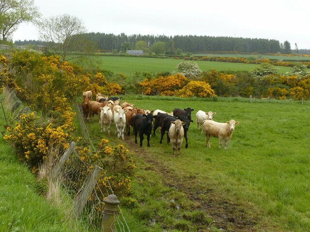
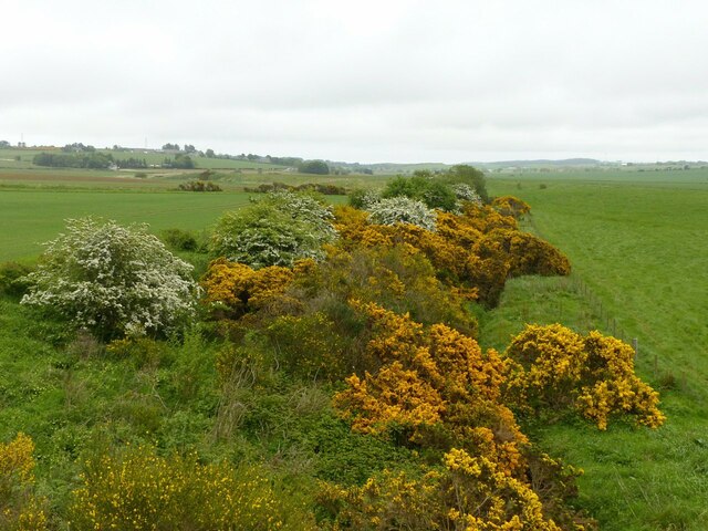
The wood is characterized by a mix of native trees, including birch, oak, and pine, which create a dense canopy and provide a habitat for a variety of wildlife. Visitors to Whyntie Wood can expect to spot numerous species of birds, such as woodpeckers, owls, and finches, along with small mammals like red squirrels, voles, and deer.

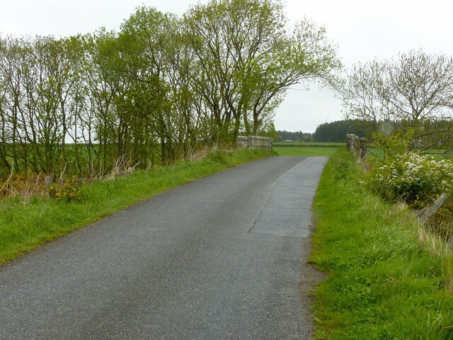
Tranquility and serenity are the hallmarks of Whyntie Wood, making it a popular destination for nature enthusiasts and those seeking a peaceful escape from the hustle and bustle of everyday life. The forest offers visitors the opportunity to immerse themselves in nature and enjoy leisurely walks along its well-maintained trails. The paths wind through the wood, offering glimpses of babbling brooks, wildflowers, and ancient trees.

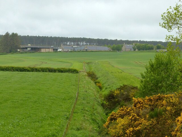
Whyntie Wood also plays a significant role in the conservation of local biodiversity. The forest's management team works diligently to preserve the natural habitats and protect the rare and endangered species that call the wood their home. Educational programs and guided tours are organized to raise awareness about the importance of sustainable forest management and the preservation of local ecosystems.

In summary, Whyntie Wood is a cherished natural treasure in Banffshire, Scotland, offering visitors a chance to connect with nature, explore peaceful surroundings, and contribute to the conservation of the region's rich biodiversity.

If you have any feedback on the listing, please let us know in the comments section below.
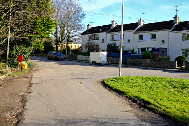
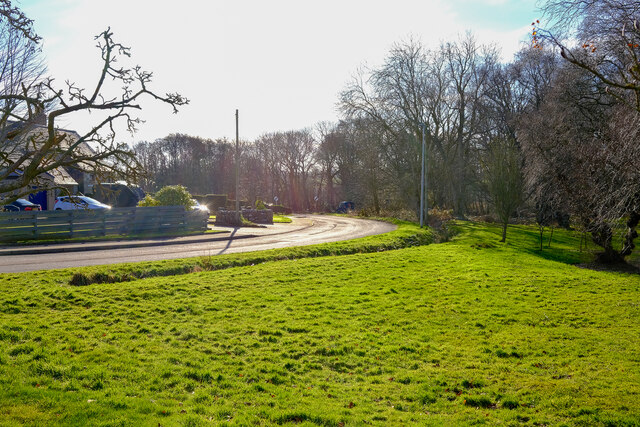
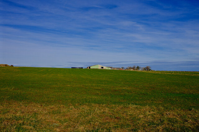
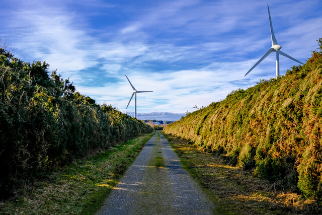
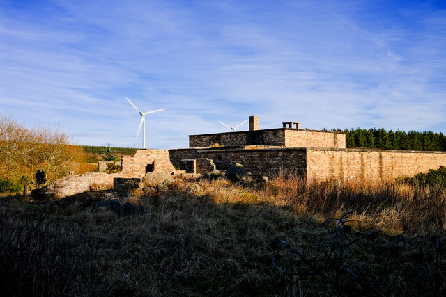
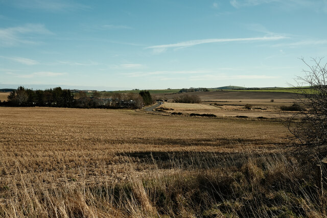
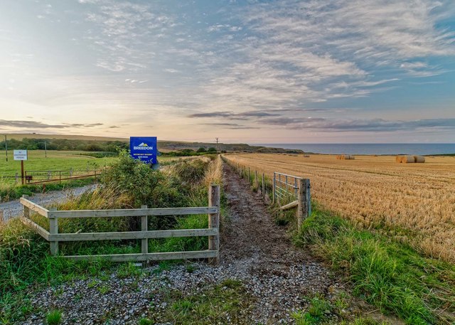
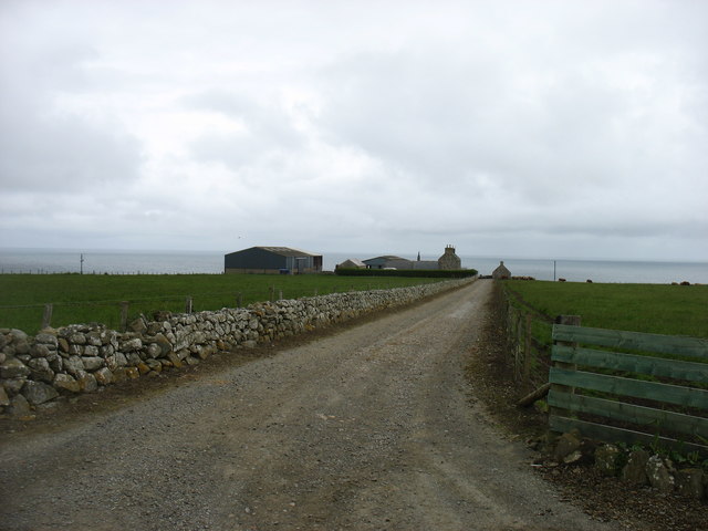
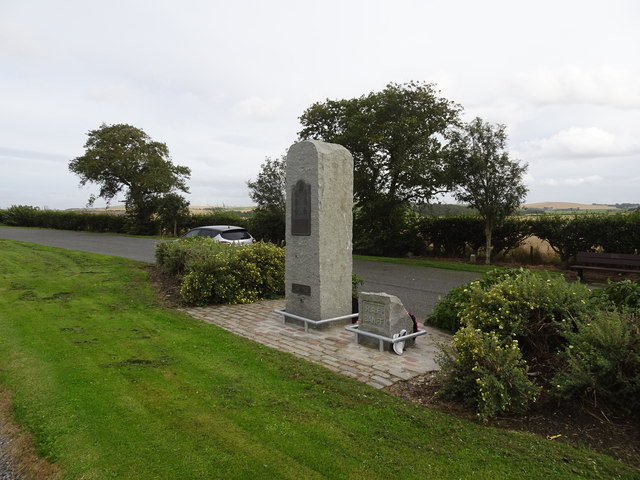
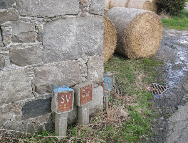
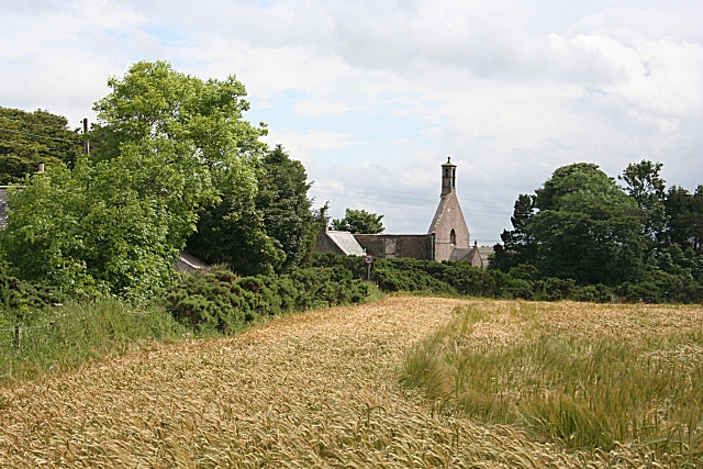
Whyntie Wood Images

Images are sourced within 2km of 57.663978/-2.6290177 or Grid Reference NJ6263. Thanks to Geograph Open Source API. All images are credited.

Curious cattle Near Ordens - coming to see why I was getting out of the car.
Curious cattle
Near Ordens - coming to see why I was getting out of the car.
Former railway bridge on the road to Baldavie This was the former Great North of Scotland branch to Banff.
Former railway bridge on the road to Baldavie
This was the former Great North of Scotland branch to Banff.
Former railway line to Banff One of the locations where the course of this branch is still evident, the shallow cutting having not been put to the plough.
Former railway line to Banff
One of the locations where the course of this branch is still evident, the shallow cutting having not been put to the plough.
The site of Ordens Halt The halt was in the whin bottom right and was a very basic halt on the Great North of Scotland Railway's branch to Banff. The line curved away right – indicated by the slightly lighter green of the crop - to run under the A95, the bridge being just visible to the right of the picture. Ordens is the steading in the centre of the view.
The site of Ordens Halt
The halt was in the whin bottom right and was a very basic halt on the Great North of Scotland Railway's branch to Banff. The line curved away right – indicated by the slightly lighter green of the crop - to run under the A95, the bridge being just visible to the right of the picture. Ordens is the steading in the centre of the view.
Boyndie The centre of the village of Boyndie
Boyndie
The centre of the village of Boyndie
Boyndie The road out or into Boyndie
Boyndie
The road out or into Boyndie
Thriepland farm Looking towards the farm at Thriepland
Thriepland farm
Looking towards the farm at Thriepland
Windfarm roads The old taxiways of Boyndie airfield now overgrown and used as access roads for the windfarm
Windfarm roads
The old taxiways of Boyndie airfield now overgrown and used as access roads for the windfarm
Old airfield building A ruined control room building for the Boyndie Airfield
Old airfield building
A ruined control room building for the Boyndie Airfield
A view of the A98 Looking over the fields towards the A98
A view of the A98
Looking over the fields towards the A98
Boyndie Windfarm One of the turbins at the Boyndie Windfarm
Boyndie Windfarm
One of the turbins at the Boyndie Windfarm
Path to Boyne Bay This newish path runs down to Boyne Bay parallel with a private road to the quarry
Path to Boyne Bay
This newish path runs down to Boyne Bay parallel with a private road to the quarry
The drive to Easter Whyntie
RAF Banff strike wing monument The main inscription reads:
"This memorial commemorates the men and women who served with the six multi-national squadrons which formed the Banff strike wing at RAF Banff between September 1944 and May 1945. Under the command of Group Captain the Hon. Max Aitken, the mixed Mosquito and Beaufighter units mounted concentrated attacks on German surface vessels and U-boats in the North Sea and along the Norwegian Coast. Their success in the closing months of World War ll was important in the defeat of Germany and strike wing aircraft operating from the airfield near here inflicted heavy damage on enemy shipping and supply routes. Many thousands of tons of vital iron ore and other supplies were lost  to the German forces as a result of rocket and cannon attacks carried out by this gallant strike wing. Losses among the RAF, Commonwealth and Norwegian squadrons were high. More than 80 aircrew gave their lives flying with the RAF Banff strike wing."
RAF Banff strike wing monument
The main inscription reads: "This memorial commemorates the men and women who served with the six multi-national squadrons which formed the Banff strike wing at RAF Banff between September 1944 and May 1945. Under the command of Group Captain the Hon. Max Aitken, the mixed Mosquito and Beaufighter units mounted concentrated attacks on German surface vessels and U-boats in the North Sea and along the Norwegian Coast. Their success in the closing months of World War ll was important in the defeat of Germany and strike wing aircraft operating from the airfield near here inflicted heavy damage on enemy shipping and supply routes. Many thousands of tons of vital iron ore and other supplies were lost to the German forces as a result of rocket and cannon attacks carried out by this gallant strike wing. Losses among the RAF, Commonwealth and Norwegian squadrons were high. More than 80 aircrew gave their lives flying with the RAF Banff strike wing."
Water main markers, Nether Dallachy Farm Water main markers and also a very weathered Ordnance Survey benchmark on the corner of the barn (photograph <a href="https://www.geograph.org.uk/photo/6502997">NJ6464 : Ordnance Survey benchmark, Nether Dallachy Farm</a>).
Water main markers, Nether Dallachy Farm
Water main markers and also a very weathered Ordnance Survey benchmark on the corner of the barn (photograph NJ6464 : Ordnance Survey benchmark, Nether Dallachy Farm).
Ordnance Survey benchmark, Nether Dallachy Farm Heavily weathered Ordnance Survey benchmark on the corner of the barn marking a height of 52.9867m above sea level (Ordnance Datum Newlyn) last verified in 1975 (location photograph <a href="https://www.geograph.org.uk/photo/6502979">NJ6464 : Water main markers, Nether Dallachy Farm</a>).
Water main stop valve markers are adjacent.
Ordnance Survey benchmark, Nether Dallachy Farm
Heavily weathered Ordnance Survey benchmark on the corner of the barn marking a height of 52.9867m above sea level (Ordnance Datum Newlyn) last verified in 1975 (location photograph NJ6464 : Water main markers, Nether Dallachy Farm). Water main stop valve markers are adjacent.
Ordnance Survey benchmark, Boyndie The weathered Ordnance Survey benchmark cut into the base of the gatepost of the former St. Brandon's Church marks a height of 54.9449m above sea level (Ordnance Datum Newlyn) last verified in 1975 (photograph <a href="https://www.geograph.org.uk/photo/6503025">NJ6463 : Ordnance Survey Benchmark on gatepost, Boyndie</a>).
Ordnance Survey benchmark, Boyndie
The weathered Ordnance Survey benchmark cut into the base of the gatepost of the former St. Brandon's Church marks a height of 54.9449m above sea level (Ordnance Datum Newlyn) last verified in 1975 (photograph NJ6463 : Ordnance Survey Benchmark on gatepost, Boyndie).
Ordnance Survey Benchmark on gatepost, Boyndie Detail of the weathered Ordnance Survey benchmark on the gatepost of the former St. Brandon's Church, Boyndie.  The benchmark marks a height of 54.9449m above sea level (Ordnance Datum Newlyn) last verified in 1975 (location photograph <a href="https://www.geograph.org.uk/photo/6503017">NJ6463 : Ordnance Survey benchmark, Boyndie</a>).
Ordnance Survey Benchmark on gatepost, Boyndie
Detail of the weathered Ordnance Survey benchmark on the gatepost of the former St. Brandon's Church, Boyndie. The benchmark marks a height of 54.9449m above sea level (Ordnance Datum Newlyn) last verified in 1975 (location photograph NJ6463 : Ordnance Survey benchmark, Boyndie).
Show me another place!

Whyntie Wood is located at Grid Ref: NJ6263 (Lat: 57.663978, Lng: -2.6290177)

Unitary Authority: Aberdeenshire

Police Authority: North East

What 3 Words

///moral.crusaders.nurse. Near Whitehills, Aberdeenshire

Nearby Locations

Whyntie Wood

Related Wikis

RAF Banff

Royal Air Force Banff or more simply RAF Banff is a former Royal Air Force station located 4 miles (6 km) west of Banff, Aberdeenshire, Scotland and 14...

Boyndie

Boyndie is a village in Aberdeenshire, Scotland. == History == Boyndie was once home to RAF Banff Strike Wing, which played a pivotal role in protecting...

Ordens railway station

Ordens railway station was opened in 1859, its services restricted and renamed Ordens Platform railway station by 1911 and finally Ordens Halt railway...

Boyne Castle

Boyne Castle (also known as the Palace of Boyne) is a 16th-century quadrangular castle about 1.5 miles (2.4 km) east of Portsoy, Aberdeenshire, Scotland...

Nearby Amenities

Located within 500m of 57.663978,-2.6290177
Boyndie Airstrip
Aeroway: aerodrome
Source: https://www.pprune.org/attachments/private-flying/4434d1520859905-q-aberdeenshire-ne-scotland-flyers-boyndie-plate-250416.pdf
Lat/Long: 57.6672672/-2.6280269
Generator Method: wind_turbine
Generator Source: wind
Generator Type: horizontal_axis
Power: generator
Lat/Long: 57.6626128/-2.6330193
Generator Method: wind_turbine
Generator Source: wind
Generator Type: horizontal_axis
Power: generator
Lat/Long: 57.6641855/-2.6224314
Generator Method: wind_turbine
Generator Source: wind
Generator Type: horizontal_axis
Power: generator
Lat/Long: 57.6632631/-2.6271634
Power: tower
Lat/Long: 57.6607803/-2.6315065
Power: tower
Lat/Long: 57.6601642/-2.6267671
The data included in this document is from www.openstreetmap.org. The data is made available under ODbL.

Have you been to Whyntie Wood?

Leave your review of Whyntie Wood below (or comments, questions and feedback).