East Middle Brae Strip

Wood, Forest in Roxburghshire

Scotland

East Middle Brae Strip

A698, Teviotdale Towards Denholm.
A698, Teviotdale Credit: JThomas

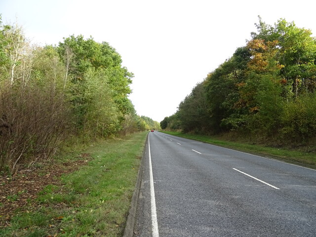
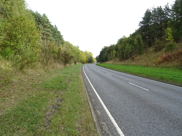
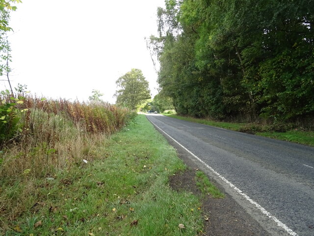
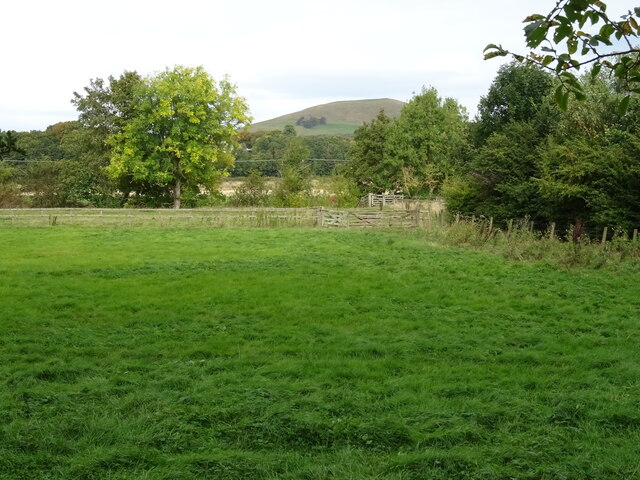
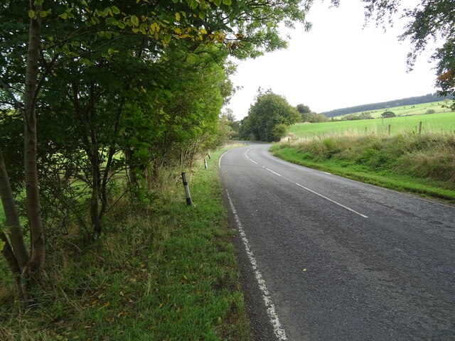
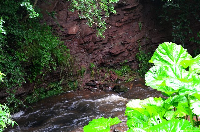
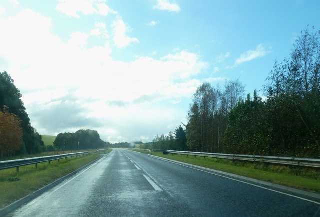
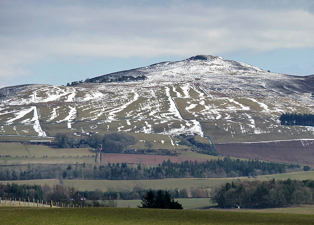
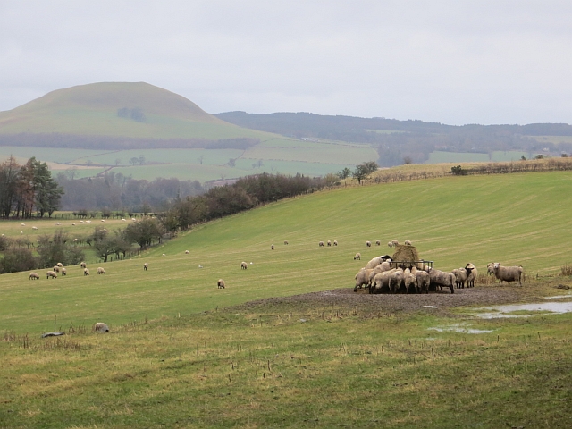
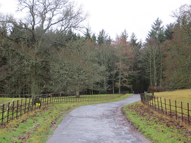
East Middle Brae Strip is a picturesque woodland located in Roxburghshire, Scotland. Stretching across a vast area, this forest is renowned for its natural beauty and tranquil atmosphere. The woodland is nestled in the heart of the Scottish Borders, making it easily accessible for both locals and tourists.

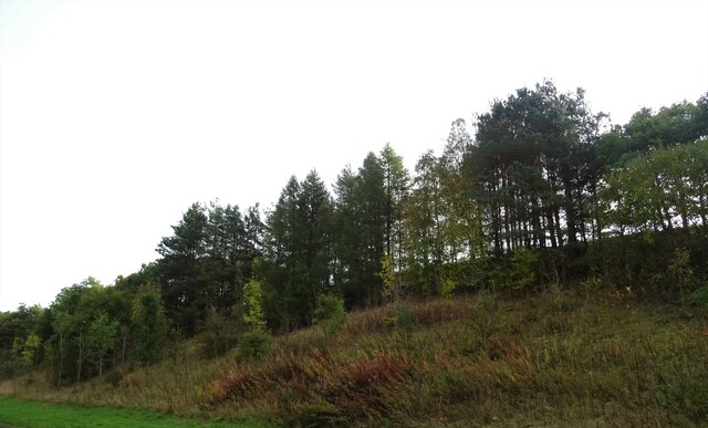
The forest is predominantly composed of native tree species, including oak, birch, and pine. These trees create a dense canopy, providing shade and shelter for a diverse range of flora and fauna. The forest floor is carpeted with a variety of wildflowers and ferns, adding to the enchanting ambiance of the woodland.

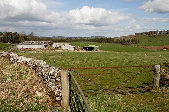
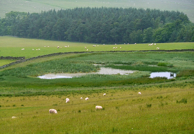
East Middle Brae Strip is a haven for wildlife enthusiasts, as it is home to a wide array of animal species. Visitors may spot native mammals such as red deer, roe deer, and red squirrels. Birdwatchers will delight in the opportunity to observe woodland birds, including woodpeckers, owls, and various songbirds.

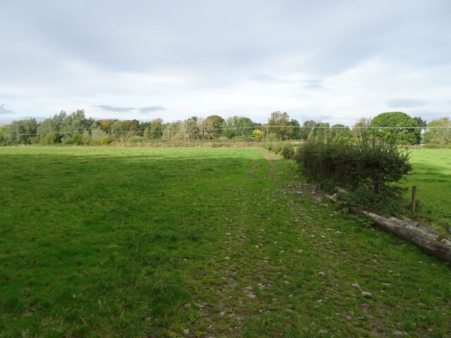
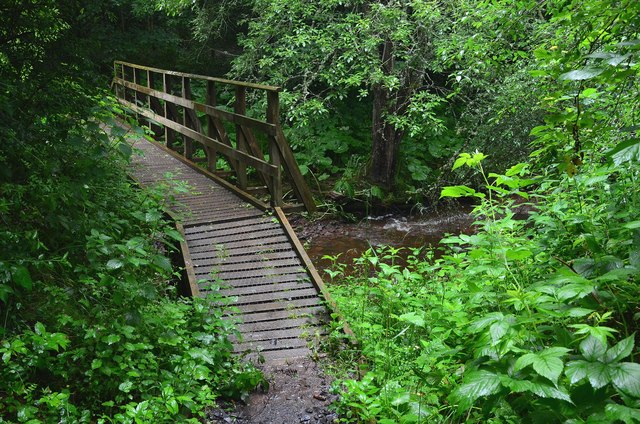
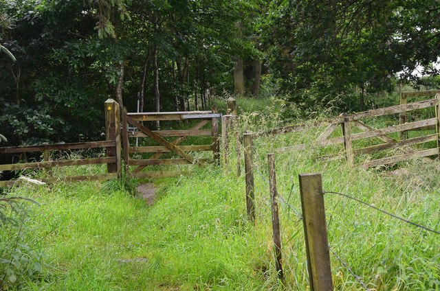
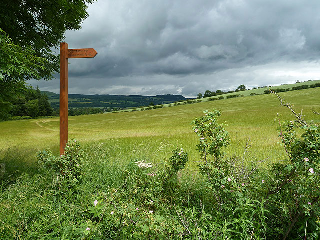
The forest offers several well-maintained walking trails, allowing visitors to explore its beauty at their own pace. These trails wind through the woodland, offering glimpses of stunning viewpoints and secluded picnic spots. The peaceful atmosphere and serene surroundings make it an ideal destination for nature lovers seeking respite from the bustle of everyday life.

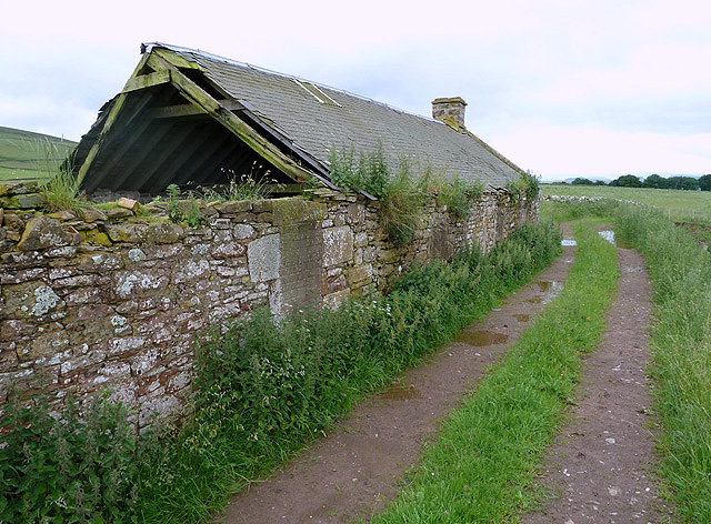
East Middle Brae Strip is not only a place of natural beauty but also plays a crucial role in the conservation of local biodiversity. Efforts have been made to preserve and protect the forest, ensuring its sustainability for future generations to enjoy. With its breathtaking scenery and abundant wildlife, this woodland is a must-visit destination for those seeking a true Scottish wilderness experience.

If you have any feedback on the listing, please let us know in the comments section below.

East Middle Brae Strip Images

Images are sourced within 2km of 55.439224/-2.6965041 or Grid Reference NT5616. Thanks to Geograph Open Source API. All images are credited.

A698, Teviotdale Towards Denholm.
A698, Teviotdale
Towards Denholm.
Wooded embankment beside the A698, Teviotdale
A698 towards Denholm
Grazing and hedgerow, Teviot Bank
A698 beside woodland, Teviotdale Towards Denholm.
A698 beside woodland, Teviotdale
Towards Denholm.
Grazing, Denholm Bridge Towards the River Teviot.
Grazing, Denholm Bridge
Towards the River Teviot.
A698 approaching Denholm
Farmland at Whitriggs Viewed from the edge of the square by a minor road to Denholm with buildings in the background at Whitriggs Farm.
Farmland at Whitriggs
Viewed from the edge of the square by a minor road to Denholm with buildings in the background at Whitriggs Farm.
Footbridge, Denholm Dean A bridge over the Dean Burn on a signposted path.
Footbridge, Denholm Dean
A bridge over the Dean Burn on a signposted path.
Footpath, Denholm Dean The path runs along the margin of the woodland west of the dean.
Footpath, Denholm Dean
The path runs along the margin of the woodland west of the dean.
Upper Old Red sandstone exposure, Denholm Dean A section about 2m high has been eroded here by the Dean Burn. These sandstones date from late Devonian times, about 360 million years ago, and are found outcropping in a belt running approximately SW towards Langholm and the Solway (see 'Death of an Ocean' E Clarkson and B Upton, Dunedin Edinburgh 2010).
Upper Old Red sandstone exposure, Denholm Dean
A section about 2m high has been eroded here by the Dean Burn. These sandstones date from late Devonian times, about 360 million years ago, and are found outcropping in a belt running approximately SW towards Langholm and the Solway (see 'Death of an Ocean' E Clarkson and B Upton, Dunedin Edinburgh 2010).
Farmland at Denholm This arable field on the southeast side of Denholm Dean was viewed from the track to Denholm Hill. The footpath sign indicates that the distance to Denholm Hill is half a mile.
Farmland at Denholm
This arable field on the southeast side of Denholm Dean was viewed from the track to Denholm Hill. The footpath sign indicates that the distance to Denholm Hill is half a mile.
A698 by Ashybank
A698 by Ashybank
Quarry Cottages These old ruined cottages on the south side of Denholm are near a disused quarry.
Quarry Cottages
These old ruined cottages on the south side of Denholm are near a disused quarry.
A pond at Ruberslaw Covert Aquatic vegetation has taken over this pond to the east of Denholmhill.
A pond at Ruberslaw Covert
Aquatic vegetation has taken over this pond to the east of Denholmhill.
The west side of Ruberslaw This zoom view of the hill was taken in early April from the B6359 near Horsleyhill.
The west side of Ruberslaw
This zoom view of the hill was taken in early April from the B6359 near Horsleyhill.
Sheep at a cratch Demolition of a round bale at Cavers, Roxburghshire.
Sheep at a cratch
Demolition of a round bale at Cavers, Roxburghshire.
Castle Park, Cavers The road is used by the Hawick Circular Ride.
Castle Park, Cavers
The road is used by the Hawick Circular Ride.
Show me another place!

East Middle Brae Strip is located at Grid Ref: NT5616 (Lat: 55.439224, Lng: -2.6965041)

Unitary Authority: The Scottish Borders

Police Authority: The Lothians and Scottish Borders

What 3 Words

///animates.stressed.bends. Near Hawick, Scottish Borders

Related Wikis

Cavers, Scottish Borders

Cavers is a parish in the Scottish Borders area of Scotland, in the former county of Roxburghshire, south and east of Hawick. The largest village in the...

Westgate Hall, Denholm

Westgate Hall is located in Westgate in the village of Denholm, Roxburghshire, in the Scottish Borders. It stands at the western and south-western approaches...

Rubers Law

Rubers Law is a prominent, conical hill in the Scottish Borders area of south-east Scotland. It stands on the south bank of the River Teviot, between the...

Cavers Castle

Cavers Castle, also known as Cavers House, is a ruined tower house located at Cavers, Scottish Borders, Scotland. Cavers Castle was a much extended tower...

Nearby Amenities

Located within 500m of 55.439224,-2.6965041
East Middle
Place: hamlet
Lat/Long: 55.4411541/-2.7032257
Todlaw
Place: isolated_dwelling
Lat/Long: 55.4410902/-2.6916714
Give Way
Direction: forward
Lat/Long: 55.4377227/-2.6917924
Glenwood
Place: isolated_dwelling
Lat/Long: 55.4395359/-2.6928651
Power: pole
Lat/Long: 55.4359885/-2.690997
Power: pole
Lat/Long: 55.4365158/-2.6902858
Power: pole
Lat/Long: 55.4370611/-2.6895631
The data included in this document is from www.openstreetmap.org. The data is made available under ODbL.

Have you been to East Middle Brae Strip?

Leave your review of East Middle Brae Strip below (or comments, questions and feedback).