Kirkton Rig Plantation
Wood, Forest in Roxburghshire
Scotland
Kirkton Rig Plantation
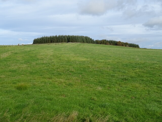
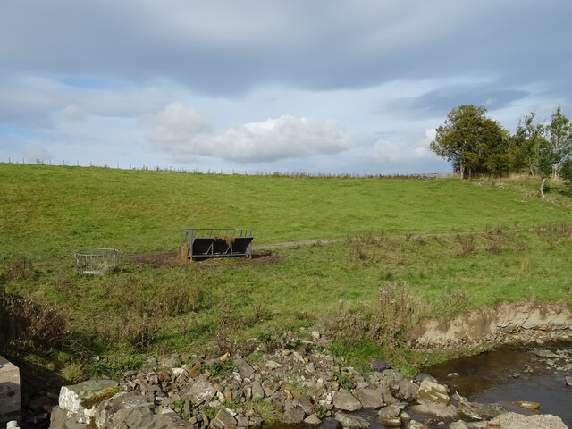
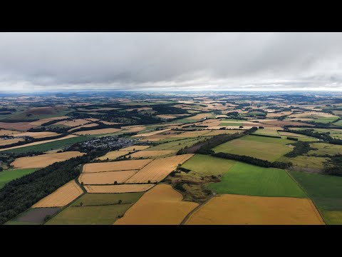
Kirkton Rig Plantation is a sprawling woodland located in the picturesque region of Roxburghshire, Scotland. Covering an extensive area of land, the plantation is primarily dedicated to the growth and preservation of various species of trees. It is a crucial part of the region's efforts to maintain its natural biodiversity and promote sustainable forestry practices.
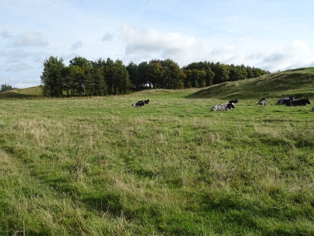
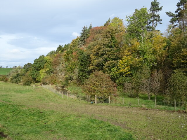
The plantation is home to a diverse range of tree species, including Scots pine, oak, birch, and beech trees. These trees not only provide a stunning visual landscape but also serve as habitats for numerous wildlife species. The woodland is a haven for birds, small mammals, and insects, creating a thriving ecosystem within its boundaries.
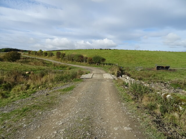
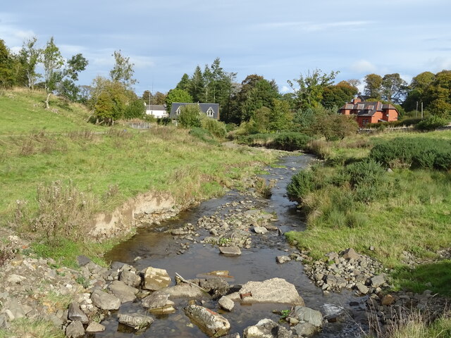
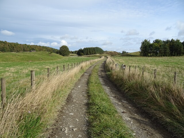
Visitors to Kirkton Rig Plantation can enjoy a tranquil and serene environment, perfect for walking, hiking, and nature observation. The plantation boasts well-maintained paths and trails, allowing visitors to explore the woodland at their own pace. It offers a great opportunity for nature enthusiasts and photographers to capture the beauty of the natural surroundings.
Furthermore, the plantation plays a vital role in the region's timber industry. Sustainable forestry practices are employed to ensure the responsible harvesting of trees, maintaining a balance between economic needs and environmental conservation. The plantation actively contributes to the local economy by providing employment opportunities and a sustainable source of timber.
Overall, Kirkton Rig Plantation is a remarkable woodland that showcases the beauty of nature while promoting sustainable practices. With its diverse range of tree species and thriving wildlife, it offers a unique experience for visitors and stands as an essential part of Roxburghshire's natural landscape.
If you have any feedback on the listing, please let us know in the comments section below.
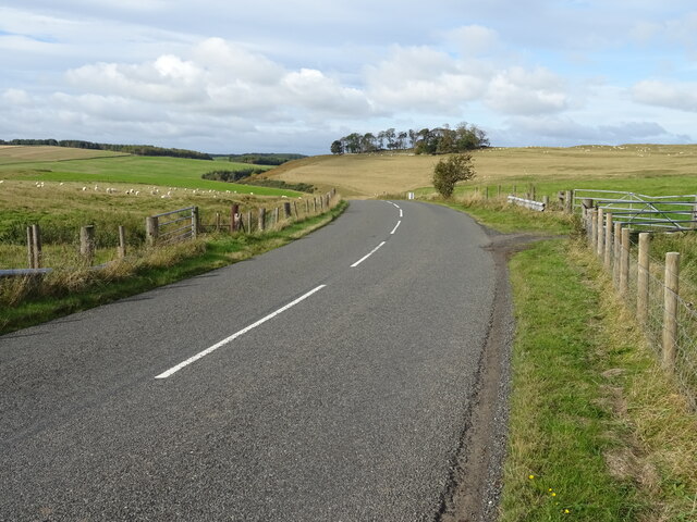
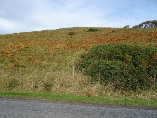
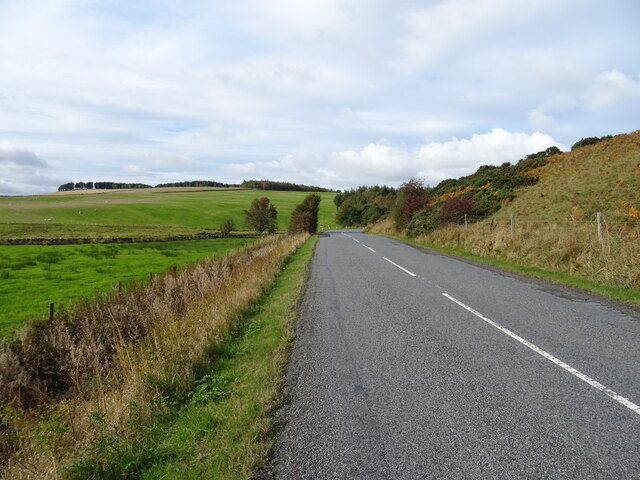
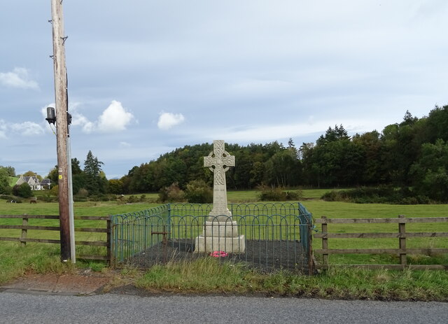
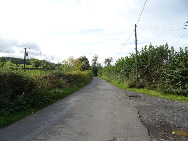
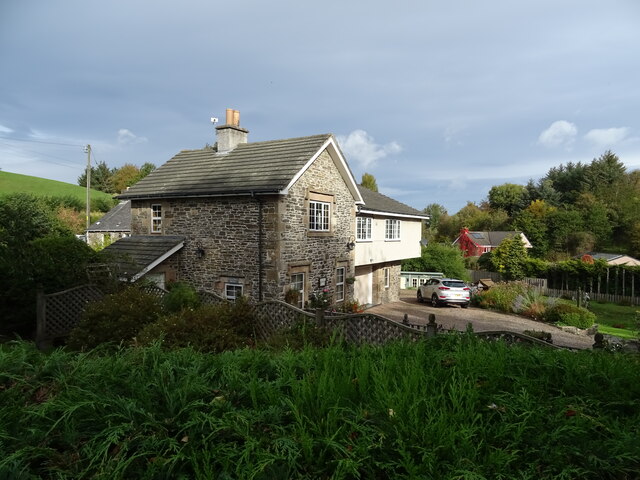
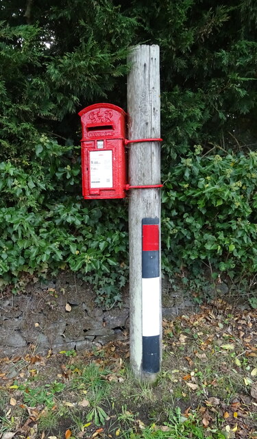
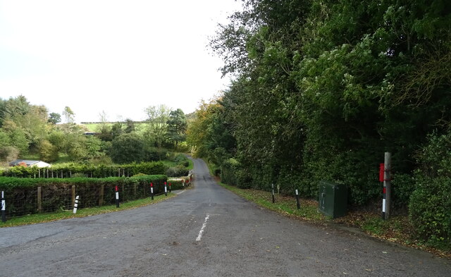
Kirkton Rig Plantation Images
Images are sourced within 2km of 55.42401/-2.716918 or Grid Reference NT5414. Thanks to Geograph Open Source API. All images are credited.
Kirkton Rig Plantation is located at Grid Ref: NT5414 (Lat: 55.42401, Lng: -2.716918)
Unitary Authority: The Scottish Borders
Police Authority: The Lothians and Scottish Borders
What 3 Words
///prospered.dispenser.serenade. Near Hawick, Scottish Borders
Nearby Locations
Related Wikis

Cavers Castle
Cavers Castle, also known as Cavers House, is a ruined tower house located at Cavers, Scottish Borders, Scotland. Cavers Castle was a much extended tower...

Kirkton, Scottish Borders
Kirkton is a village in the Scottish Borders area of Scotland, off the A6088, near Hawick. Grid Ref. NT5413. It is a former parish, amalgamated into the...

Cavers, Scottish Borders
Cavers is a parish in the Scottish Borders area of Scotland, in the former county of Roxburghshire, south and east of Hawick. The largest village in the...

Appletreehall
Appletreehall is a village in the Scottish Borders area of Scotland, 2 miles north-east of Hawick, in the historic county of Roxburghshire. Nearby are...

Mansfield Park, Hawick
Mansfield Park is a rugby union ground in Hawick, Scotland, with a capacity of approximately 5,000. It is the home of Hawick Rugby Football Club, who currently...

Rubers Law
Rubers Law is a prominent, conical hill in the Scottish Borders area of south-east Scotland. It stands on the south bank of the River Teviot, between the...
Burnfoot, Hawick
Burnfoot (Scottish Gaelic: Bun na h-Aibhne, Scots: Burnfit) is a housing estate just east of the A7, in the northern part of Hawick, by the Boonraw Burn...

Westgate Hall, Denholm
Westgate Hall is located in Westgate in the village of Denholm, Roxburghshire, in the Scottish Borders. It stands at the western and south-western approaches...
Related Videos

RUBERSLAW HIKE
Hello Jamie here and with another video. This is my snippets video of when I did Ruberslaw. The whole thing. As well as little ...

DENHOLM 10KM SNIPPETS
Hello Jamie here and with another video. Not uploaded for a bit, just fancied not putting anything up. However, this is still from my ...
🎼Ancient Volcano Ruberslaw 🌋 Denholm 🏴Scottish Borderlands 🎠 2022🎶
Hi x Join myself on a cycle ♀️ this morning as we fly over to see the summit of Rubers Law near Hawick an very old ...
Nearby Amenities
Located within 500m of 55.42401,-2.716918Have you been to Kirkton Rig Plantation?
Leave your review of Kirkton Rig Plantation below (or comments, questions and feedback).