Hassendean Common Covert
Wood, Forest in Roxburghshire
Scotland
Hassendean Common Covert

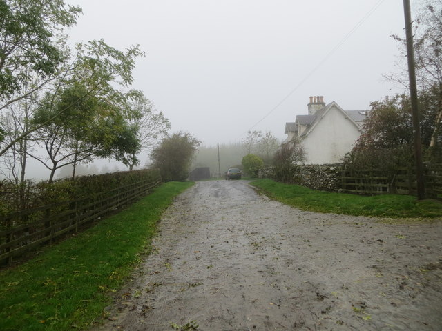
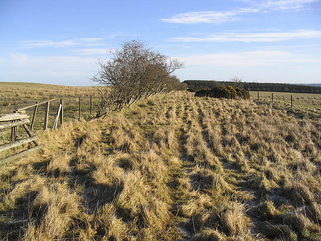
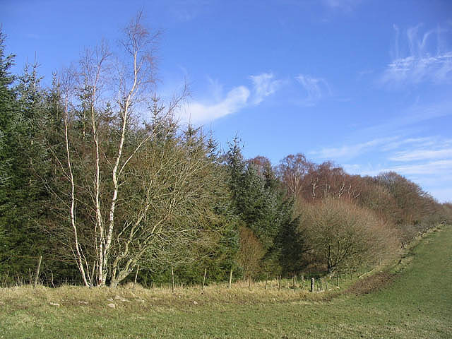
Hassendean Common Covert is a picturesque woodland located in Roxburghshire, Scotland. Spanning over a vast area, the forest is a haven for nature enthusiasts and outdoor adventurers. With its diverse range of trees, flora, and fauna, the environment is rich in biodiversity and offers a tranquil escape from the bustling city life.
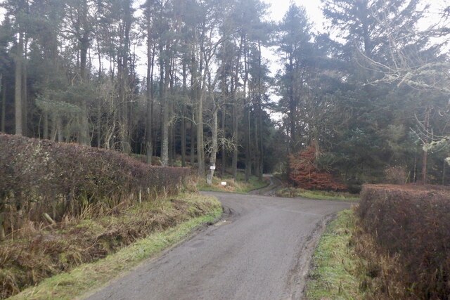
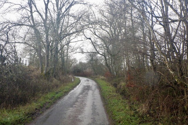
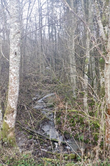
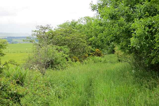
The woodland is predominantly composed of native tree species such as oak, birch, and Scots pine, which provide a dense canopy that filters sunlight and creates a cool and shaded environment. The forest floor is covered in a thick layer of moss, ferns, and wildflowers, adding to its natural beauty.
Hassendean Common Covert offers a variety of walking trails that wind through the forest, allowing visitors to explore its hidden gems. The trails are well-maintained and cater to different levels of difficulty, accommodating both leisurely strolls and more challenging hikes.
Wildlife thrives in this woodland, with an abundance of bird species such as woodpeckers, owls, and finches making their homes among the trees. Small mammals like red squirrels and badgers can also be spotted, adding to the charm of the forest.
The woodland is managed by local conservation organizations, ensuring its preservation and protection. It serves as an important habitat for rare and endangered species, contributing to the overall ecological balance of the region.
Overall, Hassendean Common Covert is a serene and enchanting forest that invites visitors to immerse themselves in its natural beauty and experience the wonders of the Scottish countryside.
If you have any feedback on the listing, please let us know in the comments section below.
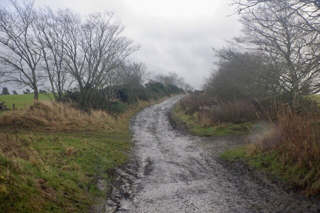
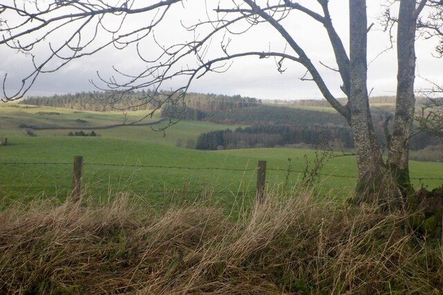
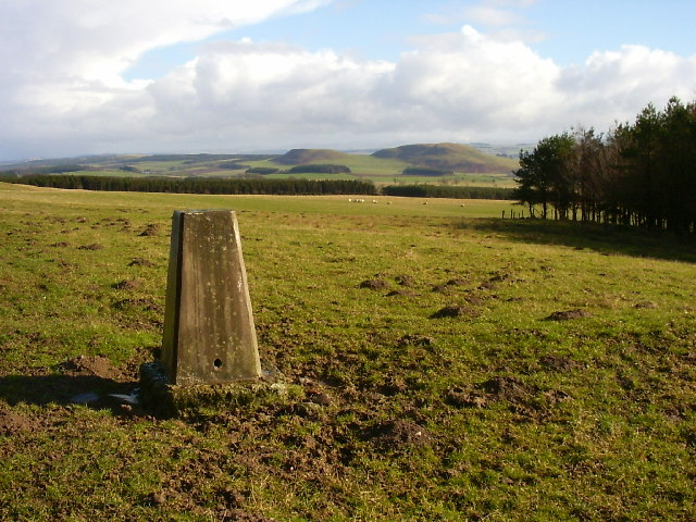
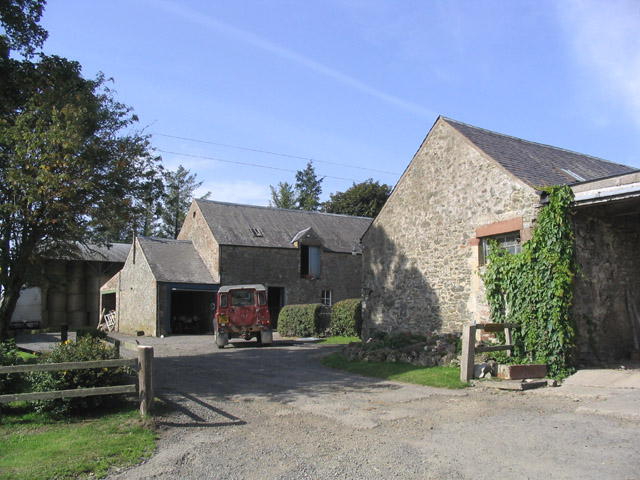
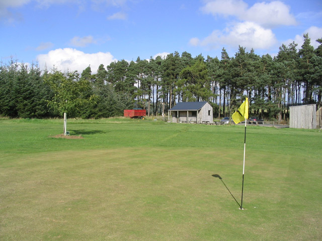
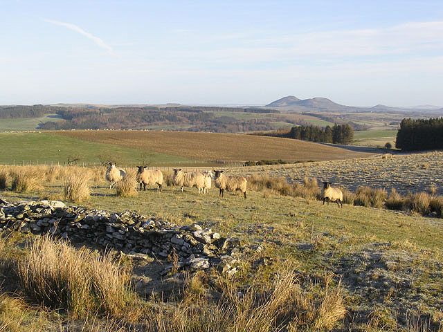
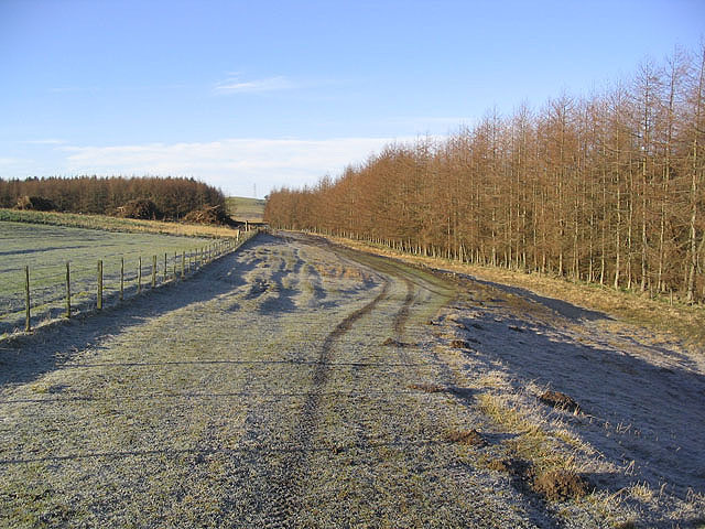
Hassendean Common Covert Images
Images are sourced within 2km of 55.487631/-2.7584275 or Grid Reference NT5221. Thanks to Geograph Open Source API. All images are credited.


Hassendean Common Covert is located at Grid Ref: NT5221 (Lat: 55.487631, Lng: -2.7584275)
Unitary Authority: The Scottish Borders
Police Authority: The Lothians and Scottish Borders
What 3 Words
///feasted.replied.fruits. Near Hawick, Scottish Borders
Nearby Locations
Related Wikis

Bowismiln
Bowismiln is a village in the Scottish Borders area of Scotland. == See also == List of places in the Scottish Borders List of places in Scotland ��2...

Hassendean, Scottish Borders
Hassendean is a hamlet in the Scottish Borders south of Edinburgh, Scotland. The stream is the Hassendean Burn which flows down to the River Teviot 5 miles...

Hassendean railway station
Hassendean railway station served the village of Hassendean, Scottish Borders, Scotland from 1850 to 1969 on the Waverley Route. == History == The station...

Lilliesleaf
Lilliesleaf is a small village and civil parish 7 miles (11 km) south east of Selkirk in the Roxburghshire area of Scottish Borders of Scotland. Other...
Have you been to Hassendean Common Covert?
Leave your review of Hassendean Common Covert below (or comments, questions and feedback).