Fortry Wood

Wood, Forest in Banffshire

Scotland

Fortry Wood

Farmland Around Ploverwards
Farmland Around Ploverwards Credit: Alan Hodgson

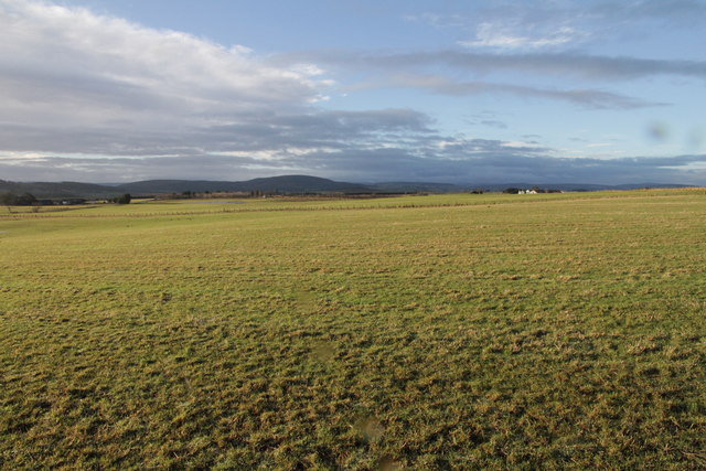
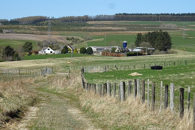
Fortry Wood is a picturesque forest located in the region of Banffshire, Scotland. Covering an area of approximately 500 acres, this enchanting woodland is known for its diverse flora and fauna, making it a popular destination for nature enthusiasts and hikers alike.

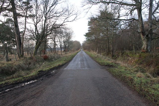
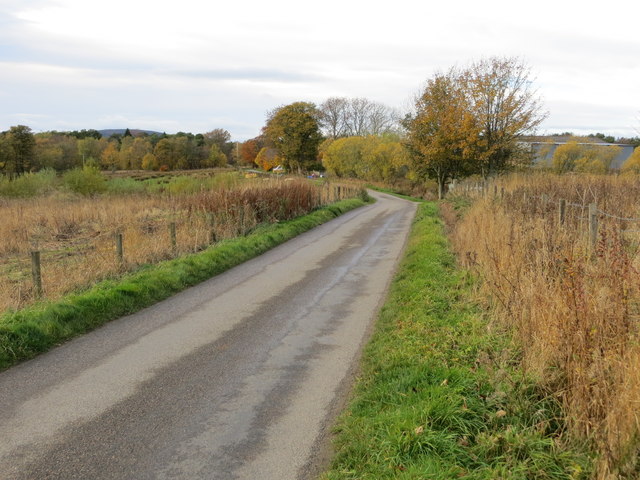
The wood is dominated by a mix of broadleaf and coniferous trees, including oak, birch, pine, and spruce. These towering trees provide a stunning canopy that filters sunlight and creates a serene and peaceful atmosphere within the forest. The forest floor is carpeted with a variety of plants, such as bluebells, ferns, and mosses, adding to its natural charm.

Fortry Wood is home to a wide range of wildlife species, including red squirrels, roe deer, and a variety of bird species, making it an ideal spot for birdwatching and wildlife photography. The tranquil environment and abundance of food sources attract these animals, providing a sanctuary for them.

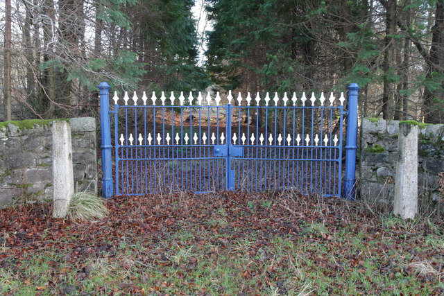
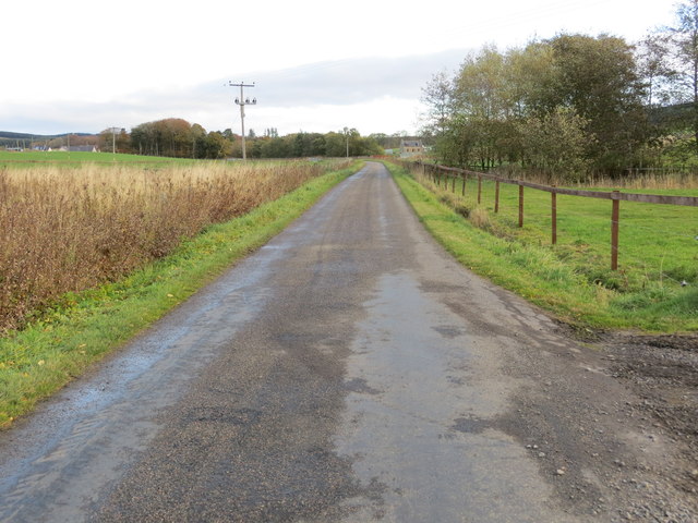
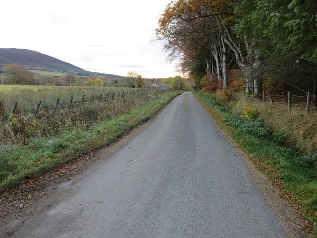
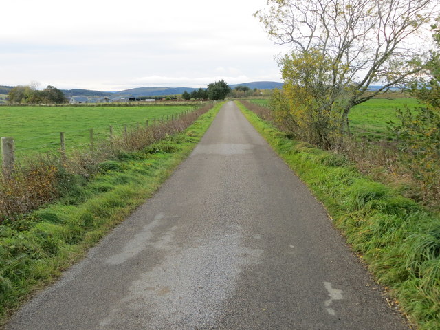
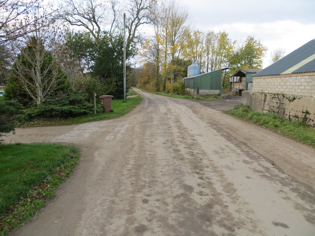
A network of well-maintained trails weaves through the wood, allowing visitors to explore its beauty at their leisure. These paths offer various levels of difficulty, accommodating both casual strollers and avid hikers. Along the way, visitors can enjoy breathtaking views of the surrounding landscape, including rolling hills and distant mountains.

For those seeking a peaceful retreat in nature, Fortry Wood is an ideal destination. Its natural beauty, diverse ecosystem, and well-maintained trails make it a perfect spot for outdoor activities, nature walks, and simply immersing oneself in the tranquility of the forest.

If you have any feedback on the listing, please let us know in the comments section below.
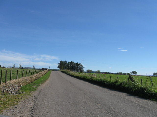
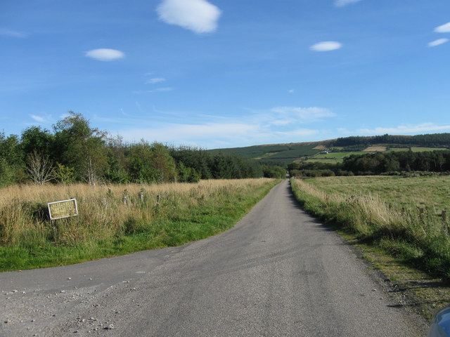
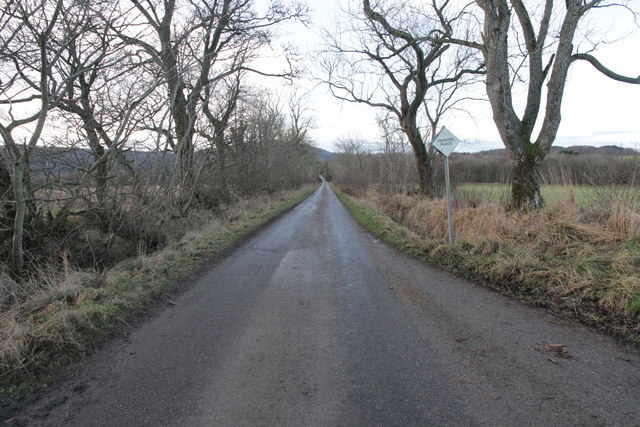
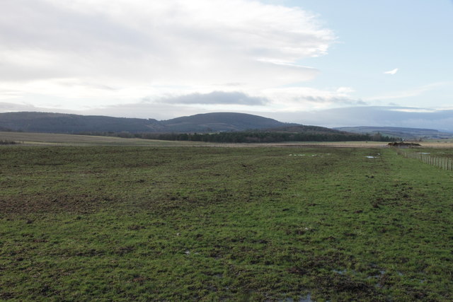
Fortry Wood Images

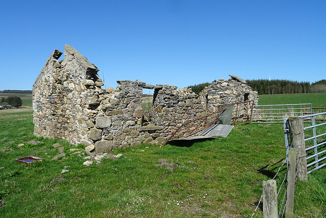
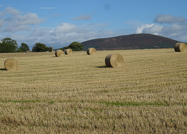
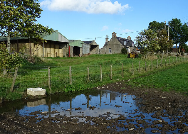
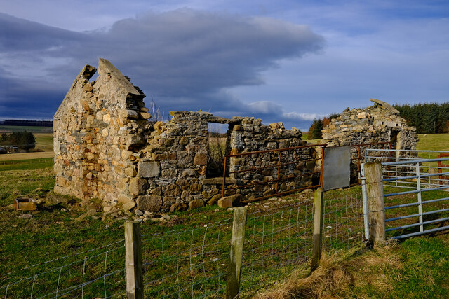
Images are sourced within 2km of 57.572917/-2.8345981 or Grid Reference NJ5053. Thanks to Geograph Open Source API. All images are credited.

Farmland Around Ploverwards
A Nice Set of Gates Guarding a track at Bridge of Bridgend leading to Edingight House.
A Nice Set of Gates
Guarding a track at Bridge of Bridgend leading to Edingight House.
Long Straight Minor Road at Fortry Wood
Minor road passing Fortry Wood Looking north-eastward.
Minor road passing Fortry Wood
Looking north-eastward.
Minor road approaching Berryhillock Looking south-westward.
Minor road approaching Berryhillock
Looking south-westward.
Minor road at Limeburn Looking north-eastward.
Minor road at Limeburn
Looking north-eastward.
Minor road approaching Reedistown Looking South-eastward. Reedistown can be seen in the far distance.
Minor road approaching Reedistown
Looking South-eastward. Reedistown can be seen in the far distance.
Track to Westertown and Ploverwards Looking south-westward.
Track to Westertown and Ploverwards
Looking south-westward.
Field Access The track flanked by fences on both sides just leads into a field which is behind me. The farm buildings are at Goukstone, and Black Hill is on the skyline.
Field Access
The track flanked by fences on both sides just leads into a field which is behind me. The farm buildings are at Goukstone, and Black Hill is on the skyline.
Ruin at Burnend Evidently the remains of a house, this is marked on the 19th century maps but not named. It has deteriorated significantly in the 16 years since <a href="https://www.geograph.org.uk/photo/238462">NJ4955 : The  derelict cottage of Burnend.</a> was taken.
Ruin at Burnend
Evidently the remains of a house, this is marked on the 19th century maps but not named. It has deteriorated significantly in the 16 years since NJ4955 : The derelict cottage of Burnend. was taken.
Bales at Crannach The extensive buildings at Mains of Crannach are almost completely hidden by the lie of the land, but there is an unobstructed view to Knock Hill.
Bales at Crannach
The extensive buildings at Mains of Crannach are almost completely hidden by the lie of the land, but there is an unobstructed view to Knock Hill.
Gordonstown One of many farms named Gordonstown, this one is in the davoch of Grange.
Gordonstown
One of many farms named Gordonstown, this one is in the davoch of Grange.
Abandoned at Burnend Old abandoned cottage
Abandoned at Burnend
Old abandoned cottage
Road looking southeast
Road looking south east
Minor Road at Bridge of Floors
Countryside Near Crannach
Minor road at Floors Farm Looking south-westward.
Minor road at Floors Farm
Looking south-westward.
Show me another place!

Fortry Wood is located at Grid Ref: NJ5053 (Lat: 57.572917, Lng: -2.8345981)

Unitary Authority: Moray

Police Authority: North East

What 3 Words

///escapes.limped.quits. Near Keith, Moray

Nearby Locations

Bracobrae Fortry Wood

Related Wikis

Farmtown

Farmtown is a village in the Moray council area of Scotland. Farmtown lies on the junction of the A95 and B9117 roads east of the town of Keith.

Grange, Moray

Grange is a parish in the Scottish county of Banffshire that dates back to a royal charter granting the lands to the abbots and monks of Kinloss in 1196...

Millegin railway station

Millegin railway station, Millagan railway station or later Millegin Siding was briefly an intermediate stop situated on what became the Great North of...

Grange railway station (Scotland)

Grange railway station was a railway station in the parish of Grange, historically in Banffshire (although currently in Moray). Opened in 1856 by the...

Nearby Amenities

Located within 500m of 57.572917,-2.8345981
Power: pole
Lat/Long: 57.570378/-2.8280455
Power: pole
Lat/Long: 57.5710631/-2.8281226
Power: pole
Lat/Long: 57.5717828/-2.8282086
Power: pole
Lat/Long: 57.572466/-2.8282964
Power: pole
Lat/Long: 57.5731751/-2.8283627
Power: pole
Lat/Long: 57.5739956/-2.8279004
Power: pole
Lat/Long: 57.5735729/-2.8274739
Power: pole
Lat/Long: 57.5740216/-2.8265708
Power: pole
Lat/Long: 57.5750256/-2.8321936
Power: pole
Lat/Long: 57.5747095/-2.8309913
Power: pole
Lat/Long: 57.5743992/-2.8298212
Power: pole
Lat/Long: 57.5742147/-2.8286099
The data included in this document is from www.openstreetmap.org. The data is made available under ODbL.

Have you been to Fortry Wood?

Leave your review of Fortry Wood below (or comments, questions and feedback).