Whitlaw Wood
Wood, Forest in Roxburghshire
Scotland
Whitlaw Wood
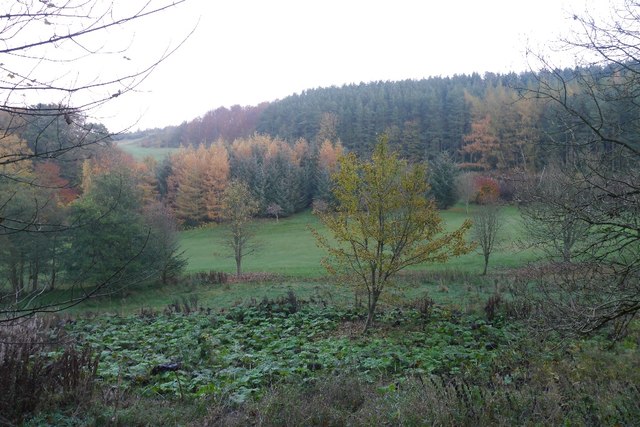
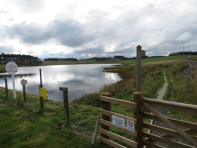
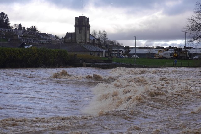
Whitlaw Wood is a picturesque forest located in Roxburghshire, Scotland. Spanning over an area of approximately 500 hectares, this woodland is known for its diverse ecosystem and stunning natural beauty. It is situated just a few miles east of the charming town of Hawick.
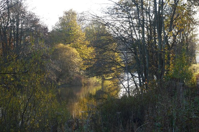
The forest is primarily composed of native tree species, such as oak, birch, and beech, which create a dense and lush canopy. The undergrowth is rich with ferns, mosses, and wildflowers, adding to the woodland's enchanting atmosphere. Several small streams meander through the forest, providing a source of water for the vibrant wildlife that calls Whitlaw Wood home.
Whitlaw Wood is a haven for nature enthusiasts and outdoor adventurers. It offers numerous walking trails and paths, allowing visitors to explore the forest at their leisure. The forest is also a popular destination for birdwatching, with a variety of bird species, including woodpeckers, owls, and songbirds, frequently spotted in the area.
The forest is managed by the Scottish Forestry, ensuring the preservation and sustainability of its natural resources. It also serves as an important habitat for several rare and protected species, such as red squirrels and otters. The conservation efforts within Whitlaw Wood contribute to the overall biodiversity of the region.
Overall, Whitlaw Wood is a tranquil and captivating forest that offers a slice of untouched nature in the heart of Roxburghshire. Its breathtaking landscapes, diverse wildlife, and well-maintained trails make it the perfect destination for nature lovers and those seeking solace in the great outdoors.
If you have any feedback on the listing, please let us know in the comments section below.
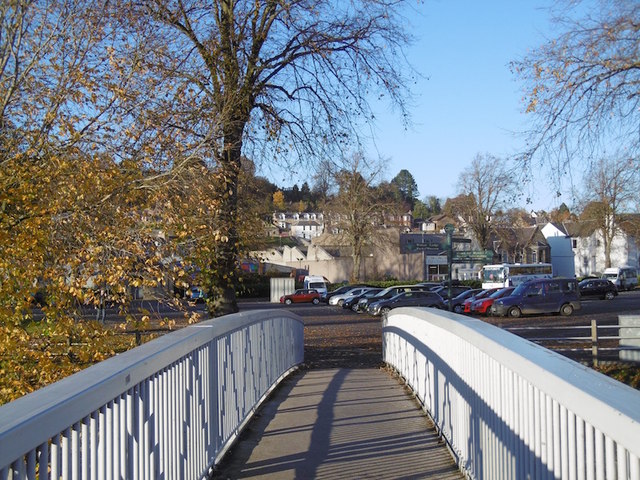
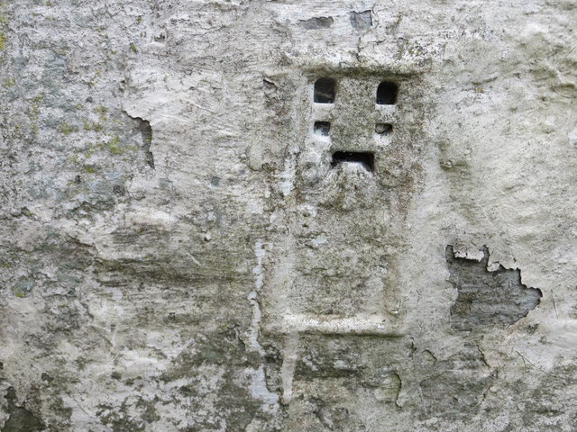
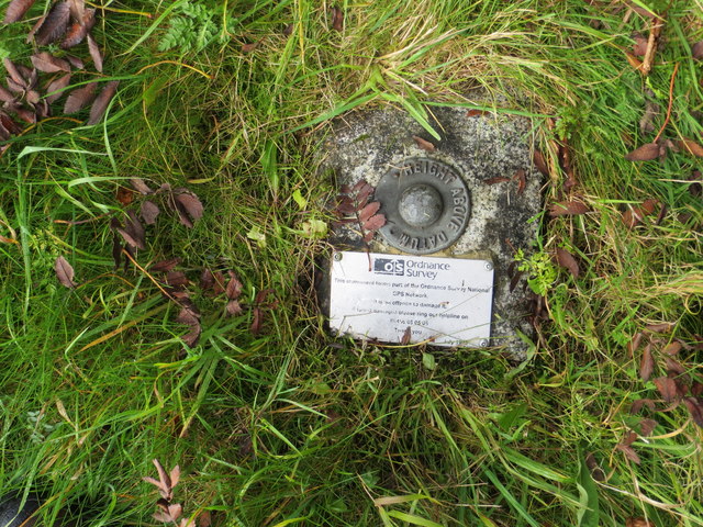
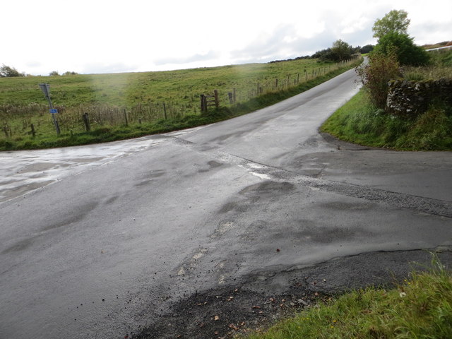
Whitlaw Wood Images
Images are sourced within 2km of 55.410778/-2.7893329 or Grid Reference NT5013. Thanks to Geograph Open Source API. All images are credited.

Whitlaw Wood is located at Grid Ref: NT5013 (Lat: 55.410778, Lng: -2.7893329)
Unitary Authority: The Scottish Borders
Police Authority: The Lothians and Scottish Borders
What 3 Words
///mooring.mystery.robes. Near Hawick, Scottish Borders
Nearby Locations
Related Wikis

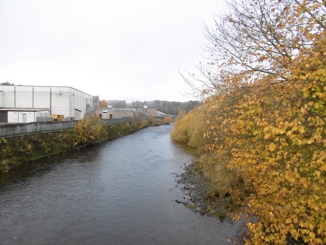
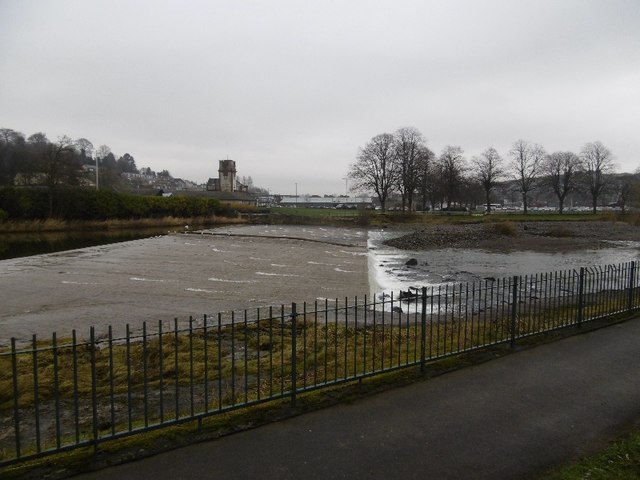
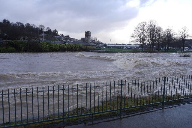
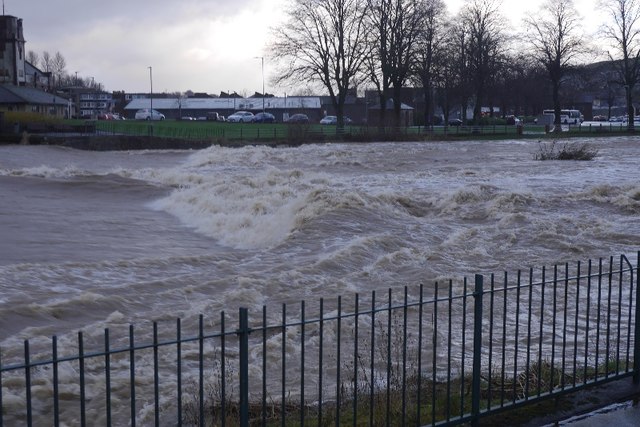
Slitrig Water
Slitrig Water (archaic Scots: Slitterick Waiter; current Southern Scots: Slitrig Witter), also known as the River Slitrig, is a river in the Scottish Borders...

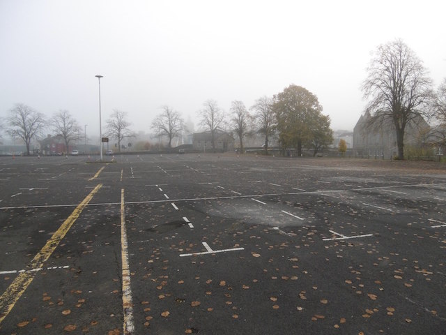
Hawick Cottage Hospital
Hawick Cottage Hospital was a health facility at Buccleuch Road in Hawick, Scotland. It was managed by NHS Borders. It is a Category B listed building...

Hawick High School
Hawick High School is a non-denominational secondary school in Hawick, in the Scottish Borders. As well as serving the town, it also takes in pupils from...

Hawick
Hawick ( HOYK; Scots: Haaick; Scottish Gaelic: Hamhaig) is a town in the Scottish Borders council area and historic county of Roxburghshire in the east...
Nearby Amenities
Located within 500m of 55.410778,-2.7893329Have you been to Whitlaw Wood?
Leave your review of Whitlaw Wood below (or comments, questions and feedback).