Pelly Wood
Wood, Forest in Fife
Scotland
Pelly Wood
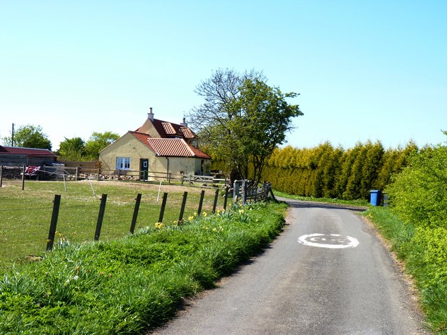
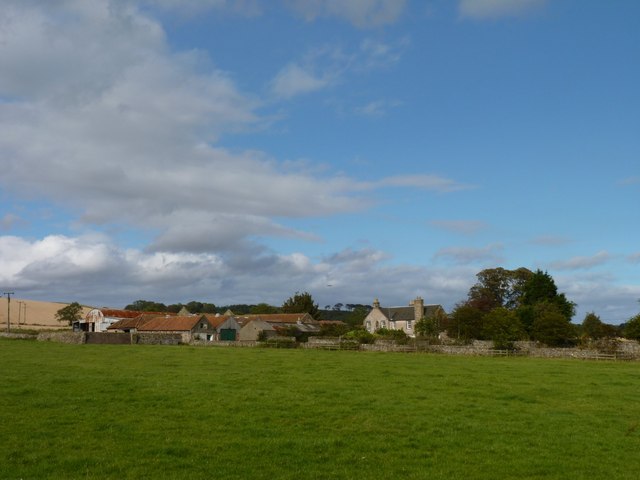
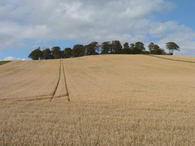
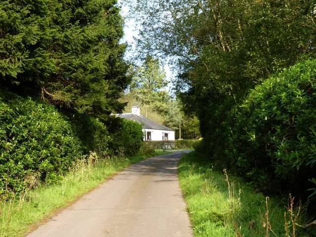
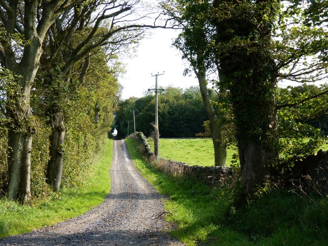
Pelly Wood, located in Fife, Scotland, is a picturesque forest area known for its natural beauty and abundant wildlife. Covering an area of approximately 1,000 acres, this woodland is situated near the village of Pelly, which lies about 10 miles north of Kirkcaldy.
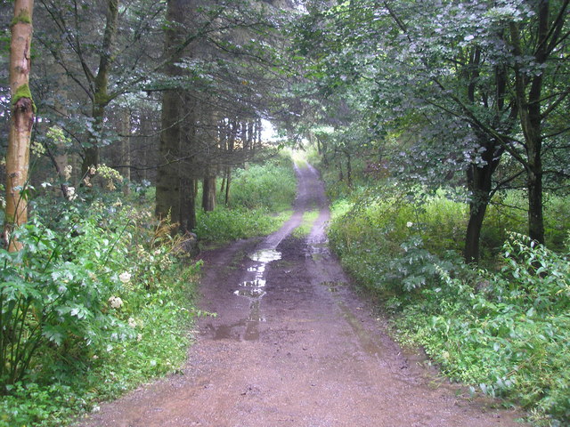
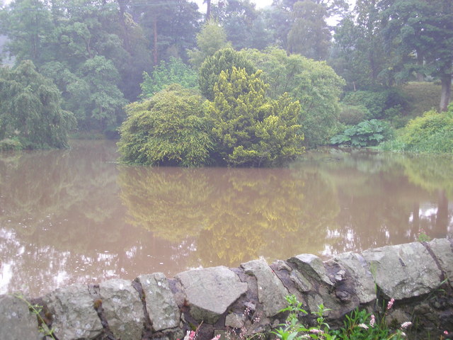
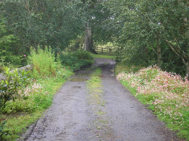
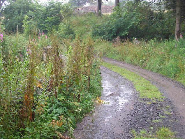
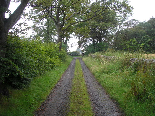
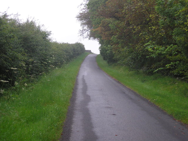
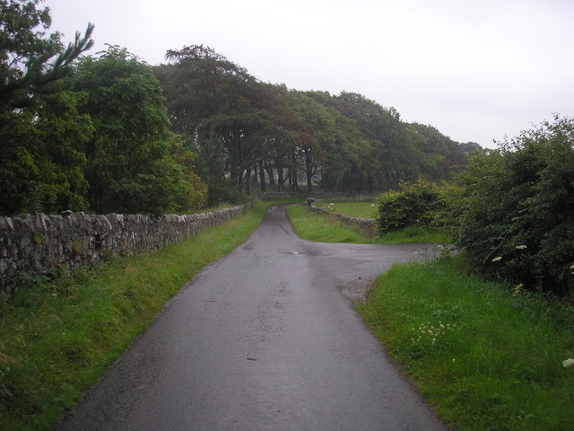
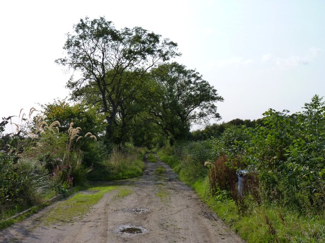
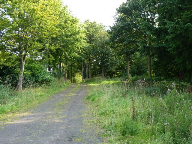
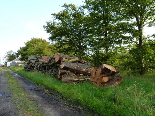
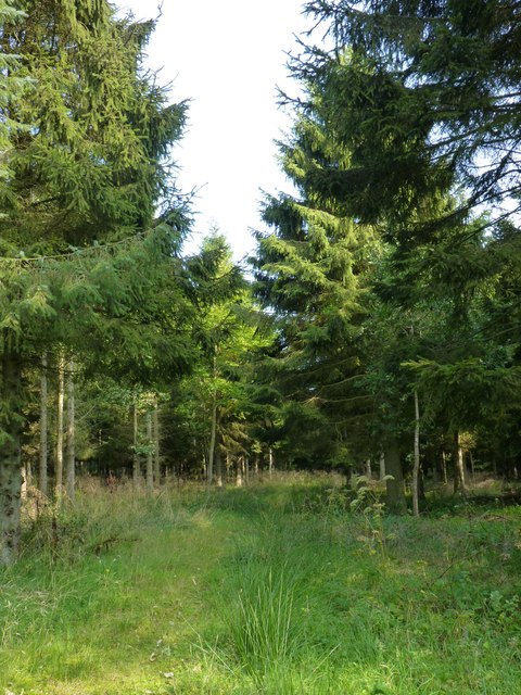
Pelly Wood is characterized by a diverse range of tree species, including oak, beech, birch, and Scots pine. The dense canopy of these trees creates a serene and tranquil environment, making it a popular destination for nature enthusiasts and hikers. The forest floor is carpeted with an array of wildflowers, enhancing the overall scenic appeal.
The woodland is home to a rich variety of wildlife, including red squirrels, roe deer, and various bird species such as woodpeckers and owls. Nature lovers can often spot these animals while exploring the network of walking trails that wind through the forest.
In addition to its natural beauty, Pelly Wood also has historical significance. The area was once part of a larger estate owned by the Pelly family, who were prominent landowners in the region. The remnants of an old estate house can still be found within the woodland, adding an element of intrigue and nostalgia to the area.
Pelly Wood offers a peaceful retreat from the hustle and bustle of city life, providing visitors with an opportunity to immerse themselves in nature and enjoy the tranquility of this enchanting forest.
If you have any feedback on the listing, please let us know in the comments section below.
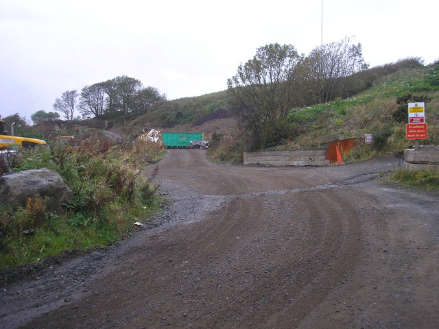
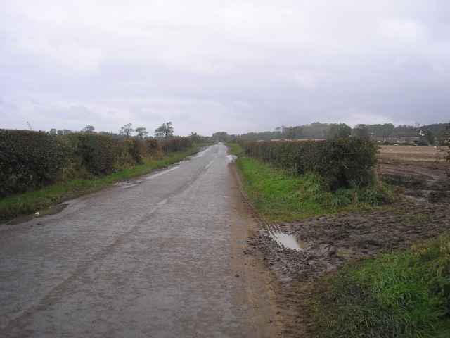
Pelly Wood Images
Images are sourced within 2km of 56.247447/-2.8412911 or Grid Reference NO4706. Thanks to Geograph Open Source API. All images are credited.
Pelly Wood is located at Grid Ref: NO4706 (Lat: 56.247447, Lng: -2.8412911)
Unitary Authority: Fife
Police Authority: Fife
What 3 Words
///topping.auctioned.bring. Near St Monans, Fife
Nearby Locations
Related Wikis

Lathones
Lathones (/lə'θonz/) is a village in Fife, Scotland, located approximately six miles (10 km) south west of St Andrews, in the parish of Cameron in the...

Largoward
Largoward is a village in East Fife, Scotland, lying on the road from Leven to St Andrews in the Riggin o Fife, 4½ miles north-east of Lower Largo and...

Balcarres House
Balcarres House lies 1km north of the village of Colinsburgh, in the East Neuk of Fife, in eastern Scotland. It is centred on a mansion built in 1595...

Riggin o Fife
The Riggin o Fife is an upland area of Fife, Scotland which runs eastward from the Markinch Gap and the Howe of Fife to form the elevated hinterland to...
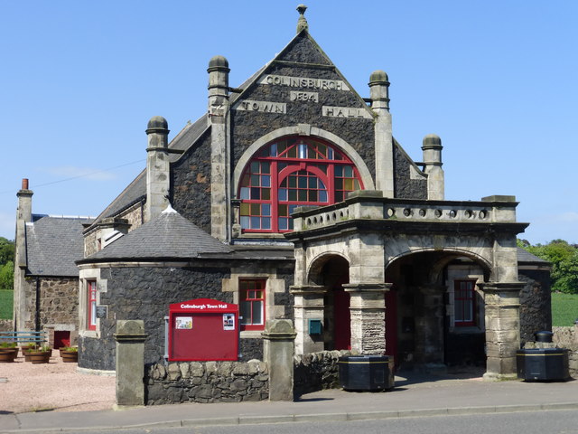
Colinsburgh Town Hall
Colinsburgh Town Hall is a municipal building in Main Street, Colinsburgh, Fife, Scotland. The building is used as a community events venue. == History... ==

Colinsburgh
Colinsburgh is a village in east Fife, Scotland, in the parish of Kilconquhar. == History == The village is named after Colin Lindsay, 3rd Earl of Balcarres...

Charleton House
Charleton House is located in the East Neuk of Fife, eastern Scotland. It lies around 1.5 kilometres (0.93 mi) west of Colinsburgh, and 5 kilometres (3...

Arncroach
Arncroach is a small village situated in the east of Fife, four miles inland of the fishing village of Pittenweem and around 10 miles away from St Andrews...
Have you been to Pelly Wood?
Leave your review of Pelly Wood below (or comments, questions and feedback).