Park Strips
Wood, Forest in East Lothian
Scotland
Park Strips
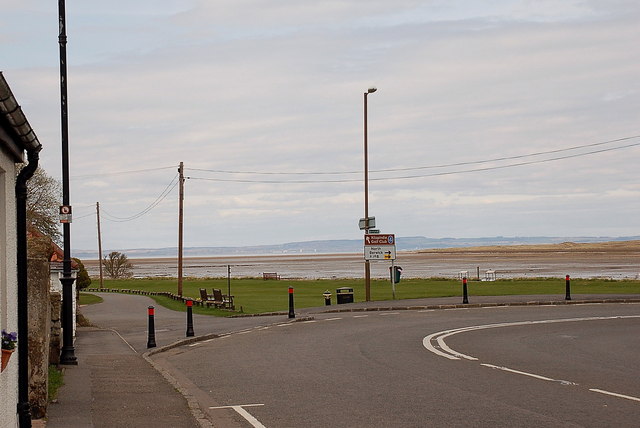
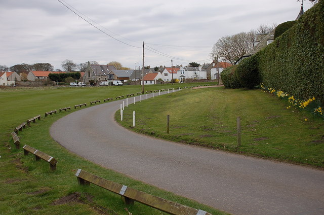
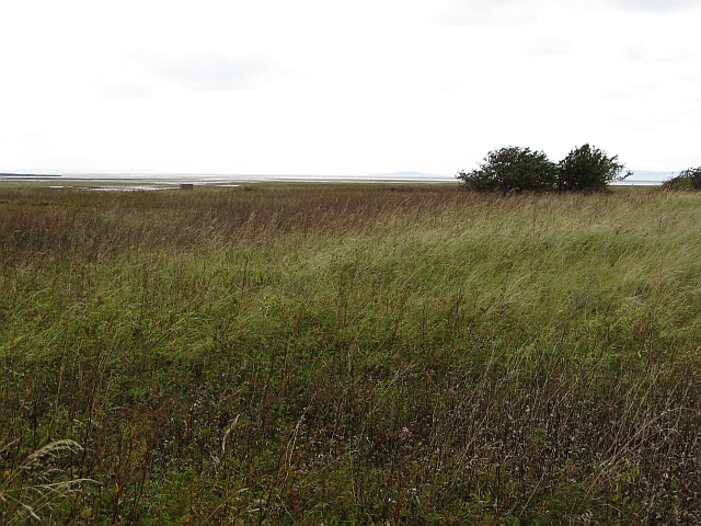
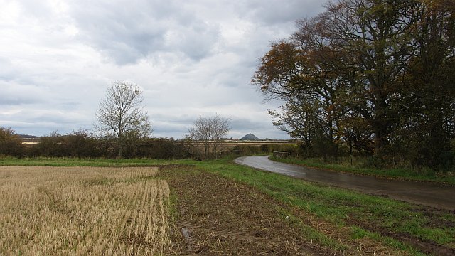
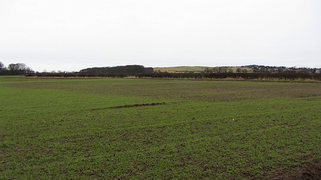
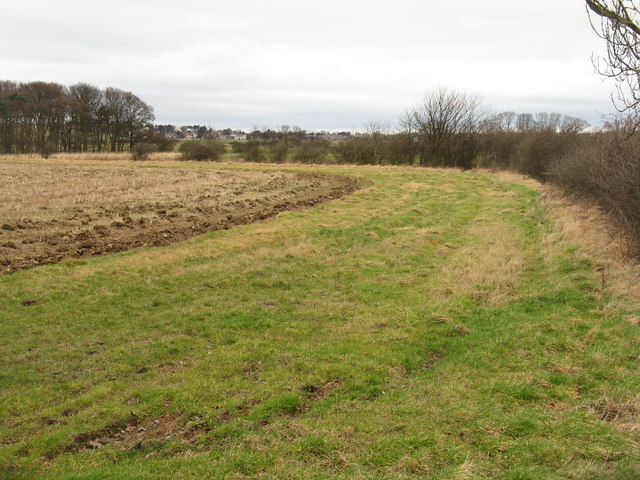
Park Strips is a beautiful woodland area located in East Lothian, Scotland. It is known for its lush forests and scenic landscapes, making it a popular destination for nature enthusiasts and outdoor lovers.
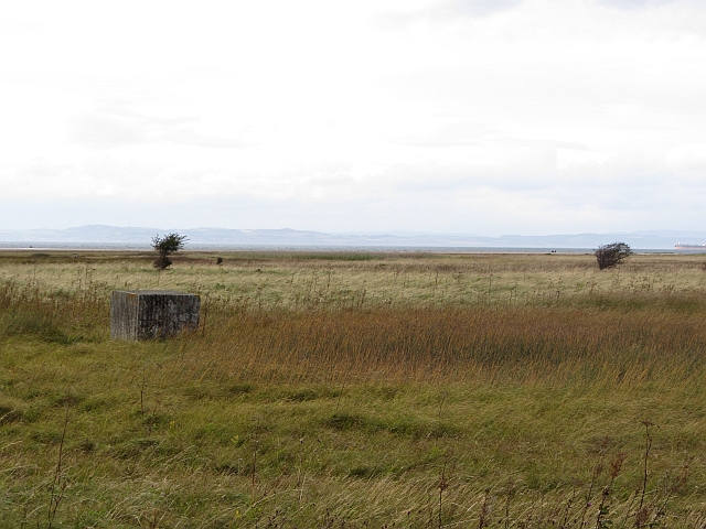
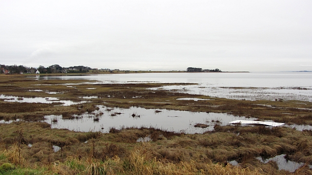
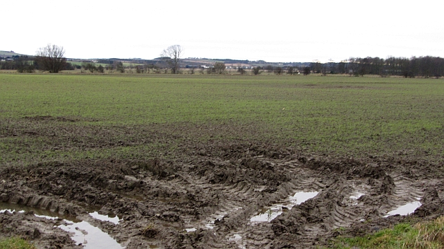
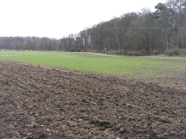
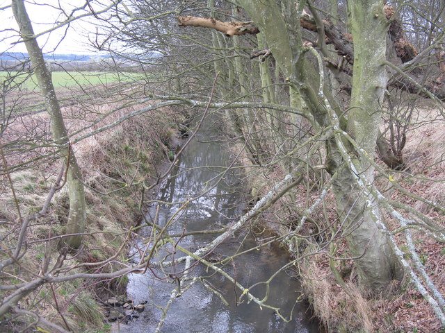
Covering an area of approximately 50 acres, Park Strips is home to a diverse range of flora and fauna, creating a thriving ecosystem. The woodland is primarily composed of native tree species such as oak, beech, and birch, providing a dense canopy that offers shade and shelter to various wildlife species.
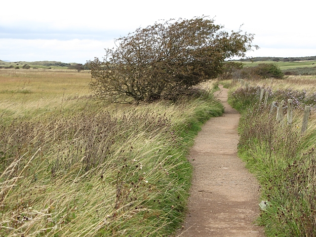
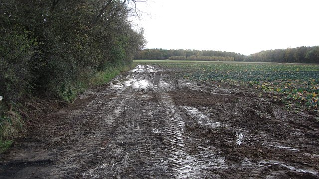
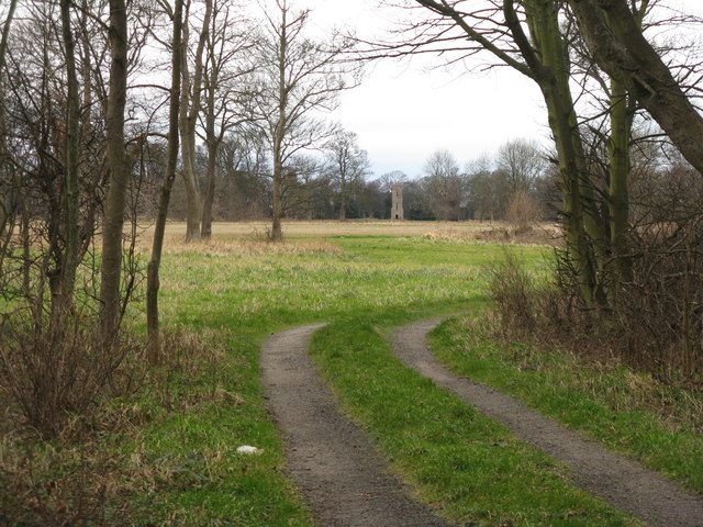
The forest floor is adorned with a rich carpet of wildflowers, including bluebells, primroses, and wood anemones, adding vibrant colors to the already picturesque surroundings. Visitors can enjoy leisurely walks along the well-maintained trails that wind through the woodland, immersing themselves in the tranquil ambiance and taking in the fresh, crisp air.
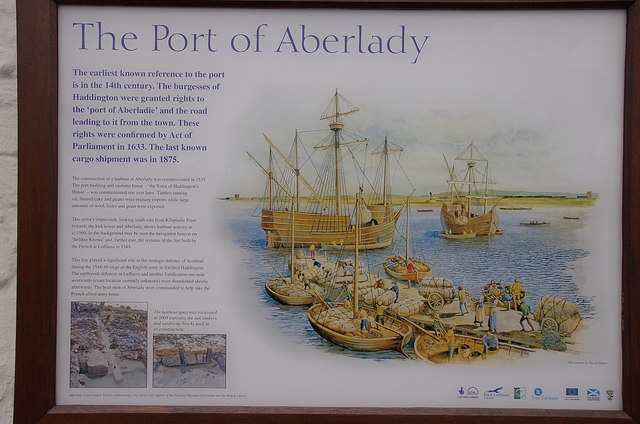
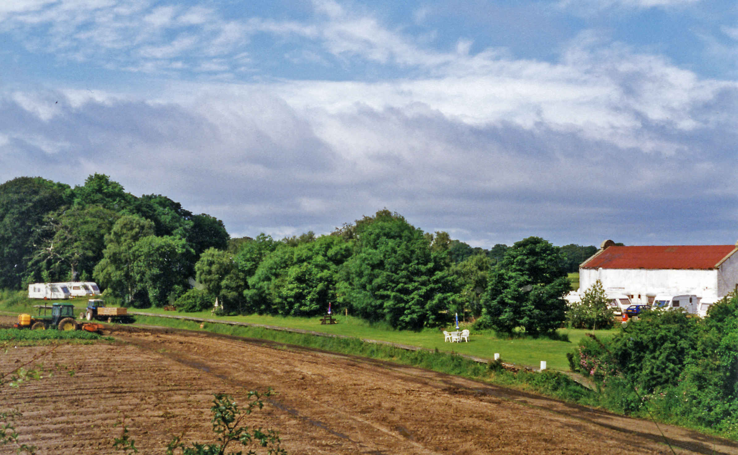
Park Strips is not only a haven for nature but also a site of historical significance. The woodland was once part of a larger estate and has remnants of old stone walls, indicating its past use as a boundary marker. These historical features add a touch of intrigue and provide a glimpse into the area's past.
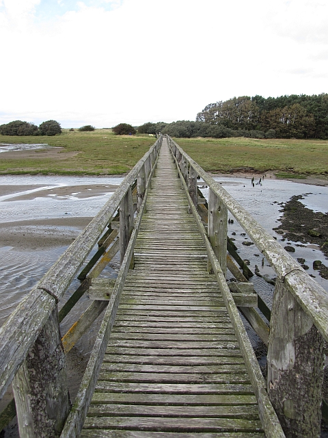
The woodland is open to the public year-round and offers various recreational activities, including hiking, birdwatching, and picnicking. It is a popular spot for families and individuals seeking a peaceful retreat from the hustle and bustle of everyday life.
In conclusion, Park Strips in East Lothian is a captivating woodland that showcases the beauty of Scotland's natural landscapes. With its diverse flora, abundant wildlife, and historical remnants, it offers a perfect escape for anyone looking to connect with nature and explore the region's rich heritage.
If you have any feedback on the listing, please let us know in the comments section below.
Park Strips Images
Images are sourced within 2km of 56.009374/-2.8361404 or Grid Reference NT4779. Thanks to Geograph Open Source API. All images are credited.
Park Strips is located at Grid Ref: NT4779 (Lat: 56.009374, Lng: -2.8361404)
Unitary Authority: East Lothian
Police Authority: The Lothians and Scottish Borders
What 3 Words
///manager.stub.copies. Near Aberlady, East Lothian
Nearby Locations
Related Wikis

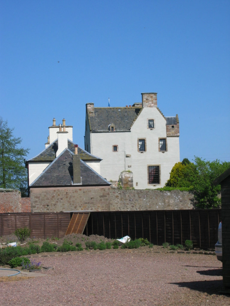
Luffness Castle
Luffness Castle, also known as Luffness House, is a house built in a former fortification near the village of Aberlady, East Lothian, Scotland. ��2�...

Luffness
Luffness is a hamlet in East Lothian, Scotland. It lies between the towns of Gullane and Aberlady and is approximately 20 miles east of Edinburgh. ��2...
Aberlady railway station
Aberlady railway station served the village of Aberlady in Scotland. It was served by the Aberlady, Gullane and North Berwick railway. This line diverged...
Aberlady
Aberlady (Scots: Aiberleddy, Gaelic: Obar Lobhaite) is a coastal village in the Scottish council area of East Lothian. The village had an estimated population...

Luffness Platform railway station
Luffness Platform (also known as Luffness Golf Club Halt) served a golf course near Gullane in Scotland. It was served by the Aberlady, Gullane and North...

Ballencrieff, East Lothian
Ballencrieff (Scottish Gaelic: Baile na Craoibhe) is a rural community in East Lothian, Scotland. It is located between the towns of Aberlady, Drem, Haddington...

Kilspindie Castle
Kilspindie Castle lies north of the village of Aberlady, in East Lothian, Scotland; the remains of the castle are behind the Victorian St Mary's Kirk....
Ballencrieff Castle
Ballencrieff Castle, also known as Ballencrieff House, is a large tower house at Ballencrieff, East Lothian, Scotland. It is located three miles north...
Nearby Amenities
Located within 500m of 56.009374,-2.8361404Have you been to Park Strips?
Leave your review of Park Strips below (or comments, questions and feedback).