Bog Wood

Wood, Forest in Fife

Scotland

Bog Wood

Bench in Lumbo Den, Fife Pilgrim Way
Bench in Lumbo Den, Fife Pilgrim Way Credit: Becky Williamson

Bog Wood, located in Fife, Scotland, is a picturesque forest area renowned for its unique landscape and historical significance. Covering an expansive area, the wood is characterized by its dense vegetation, ancient trees, and boggy terrain.

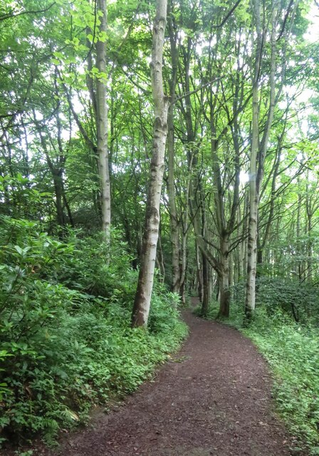
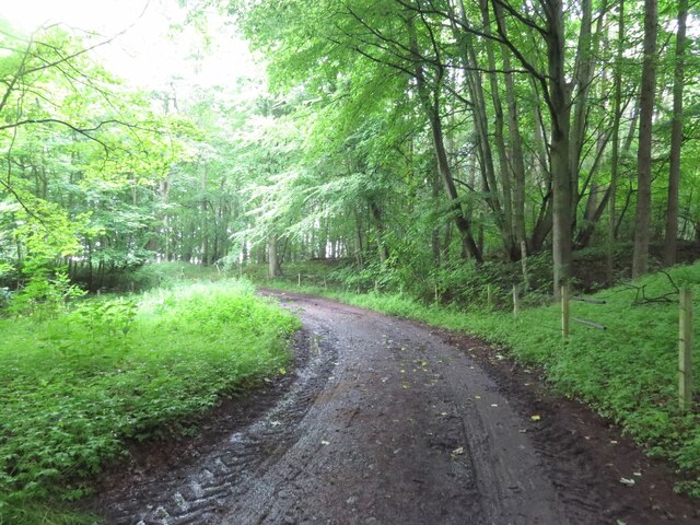
The forest is predominantly composed of oak and birch trees, creating a vibrant canopy that filters sunlight, giving the wood a mystical atmosphere. These trees have grown for centuries, providing shelter and a habitat for various wildlife species. The forest floor is covered in a thick layer of mosses, lichens, and ferns, further enhancing its enchanting appeal.

What makes Bog Wood truly remarkable is its peat bog, which has formed over thousands of years. This bog is a result of the accumulation of decaying plant material, creating a unique habitat for plants and animals adapted to the acidic and waterlogged conditions. This ecosystem supports a diverse range of species, including rare orchids, carnivorous plants, and numerous bird species.

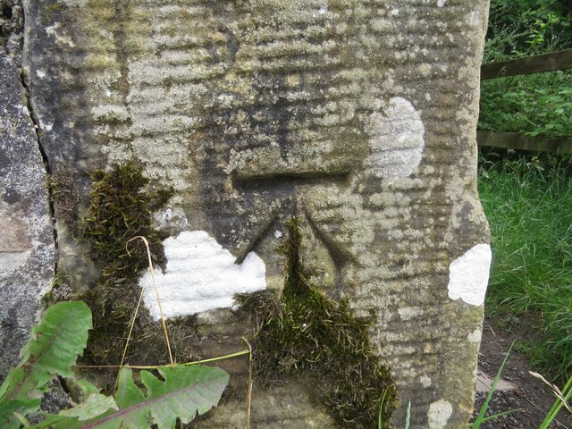
The historical significance of Bog Wood is evident through the discovery of ancient artifacts and remnants of human activity. Archaeologists have found evidence of prehistoric settlements, including tools and pottery, suggesting that the wood was once inhabited. The presence of old ruins and stone circles also adds to the intrigue and historical value of the area.

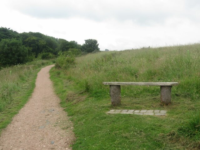
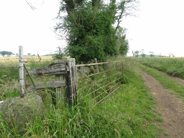
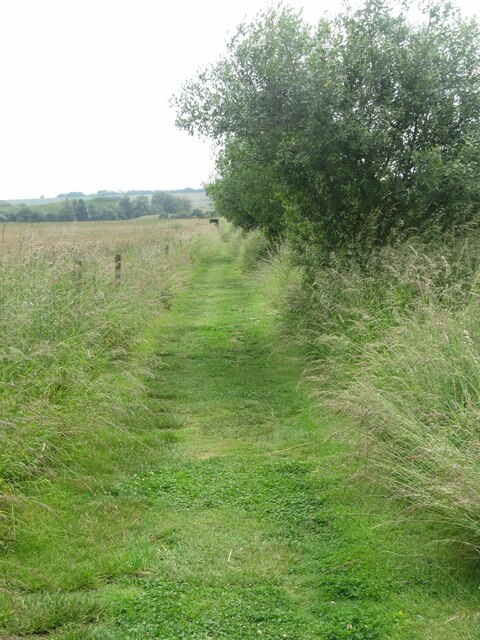
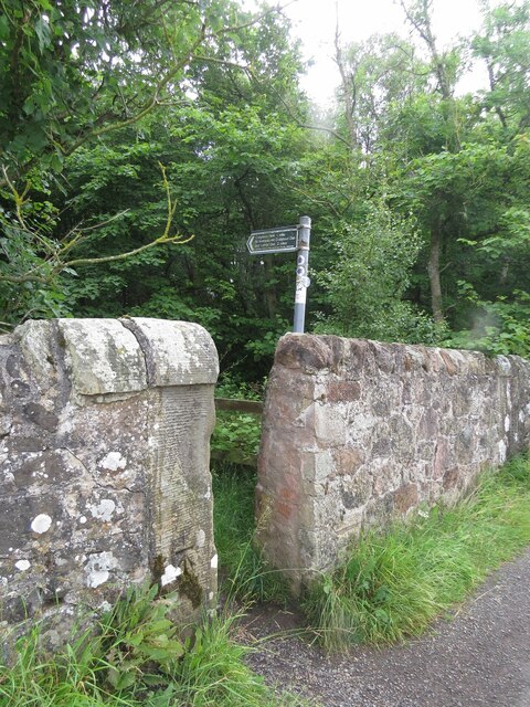
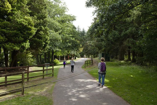
Bog Wood offers visitors a chance to immerse themselves in nature and history. Numerous walking trails and paths wind through the forest, providing opportunities for hiking, birdwatching, and exploration. The wood's tranquil ambiance and natural beauty make it a favorite spot for nature enthusiasts and history buffs alike.

If you have any feedback on the listing, please let us know in the comments section below.
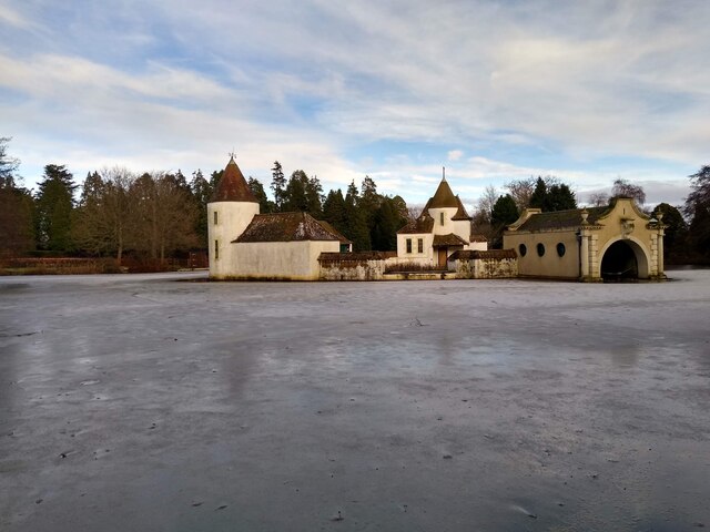
Bog Wood Images

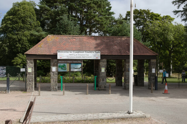
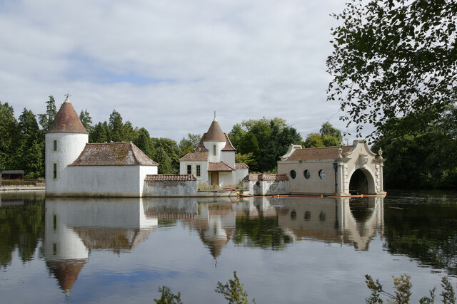
Images are sourced within 2km of 56.313732/-2.8430554 or Grid Reference NO4713. Thanks to Geograph Open Source API. All images are credited.

Bench in Lumbo Den, Fife Pilgrim Way
Track to Winthank Farm The almost illegible sign reads: Private, No Entry.
Track to Winthank Farm
The almost illegible sign reads: Private, No Entry.
Fife Pilgrim Way through Lumbo Den
Path at Cairnsmill Reservoir
Benchmark on wall, Denhead Ordnance Survey benchmark, described on database at <span class="nowrap"><a title="https://www.bench-marks.org.uk/bm150920" rel="nofollow ugc noopener" href="https://www.bench-marks.org.uk/bm150920">Link</a><img style="margin-left:2px;" alt="External link" title="External link - shift click to open in new window" src="https://s1.geograph.org.uk/img/external.png" width="10" height="10"/></span>.
Benchmark on wall, Denhead
Ordnance Survey benchmark, described on database at LinkExternal link.
Western entrance to Craigtoun Country Park There is an Ordnance Survey benchmark visible on the left hand gatepost. See <a href="https://www.geograph.org.uk/photo/7007155">NO4714 : Benchmark on gatepost at entrance to Craigtoun Country Park</a>.
Western entrance to Craigtoun Country Park
There is an Ordnance Survey benchmark visible on the left hand gatepost. See NO4714 : Benchmark on gatepost at entrance to Craigtoun Country Park.
Track through Winthank Woods There are some disused lime works in this wood.
Track through Winthank Woods
There are some disused lime works in this wood.
Road to Priorletham T junction on the A915 south of St Andrews.
Road to Priorletham
T junction on the A915 south of St Andrews.
Benchmark on gatepost at entrance to Craigtoun Country Park Ordnance Survey benchmark, described on database at <span class="nowrap"><a title="https://www.bench-marks.org.uk/bm150922" rel="nofollow ugc noopener" href="https://www.bench-marks.org.uk/bm150922">Link</a><img style="margin-left:2px;" alt="External link" title="External link - shift click to open in new window" src="https://s1.geograph.org.uk/img/external.png" width="10" height="10"/></span>. See also <a href="https://www.geograph.org.uk/photo/7006999">NO4714 : Western entrance to Craigtoun Country Park</a>.
Benchmark on gatepost at entrance to Craigtoun Country Park
Ordnance Survey benchmark, described on database at LinkExternal link. See also NO4714 : Western entrance to Craigtoun Country Park.
Entrance, Craigtoun Country Park
Railway crossing the path in Craigtoun Country Park
Lake, Craigtoun Country Park
Cut Bench Mark, Balone Milestone Bench Mark Database: <span class="nowrap"><a title="https://www.bench-marks.org.uk/bm38207" rel="nofollow ugc noopener" href="https://www.bench-marks.org.uk/bm38207">Link</a><img style="margin-left:2px;" alt="External link" title="External link - shift click to open in new window" src="https://s1.geograph.org.uk/img/external.png" width="10" height="10"/></span>
Cut Bench Mark, Balone Milestone
Bench Mark Database: LinkExternal link
Milestone by the C65 near Balone There is a cut bench mark on the face to the left of the photograph and a closer view can be seen here: <a href="https://www.geograph.org.uk/photo/7128829">NO4815 : Cut Bench Mark, Balone Milestone</a>. An older image of the milestone missing showed it missing its metal cap at <a href="https://www.geograph.org.uk/photo/6038236">NO4815 : Old Milestone by the C65, Craigtoun, St Andrews Parish</a>.
Milestone by the C65 near Balone
There is a cut bench mark on the face to the left of the photograph and a closer view can be seen here: NO4815 : Cut Bench Mark, Balone Milestone. An older image of the milestone missing showed it missing its metal cap at NO4815 : Old Milestone by the C65, Craigtoun, St Andrews Parish.
C65 near Craigtoun Meadows Holiday Park Closer views of the milestone can be seen at <a href="https://www.geograph.org.uk/photo/7128831">NO4815 : Milestone by the C65 near Balone</a> and <a href="https://www.geograph.org.uk/photo/7128829">NO4815 : Cut Bench Mark, Balone Milestone</a>.
C65 near Craigtoun Meadows Holiday Park
Gas governor station This is a station to reduce gas pressure in the pipeline underneath, on the outskirts of St Andrews.
Gas governor station
This is a station to reduce gas pressure in the pipeline underneath, on the outskirts of St Andrews.
Frozen Pond This is the largest pond in Craigtoun Country Park, on the island is the so-called Dutch Village.
Frozen Pond
This is the largest pond in Craigtoun Country Park, on the island is the so-called Dutch Village.
Craigtoun Hospital A former maternity hospital, now disused and fenced in. Well, almost entirely fenced in, as this picture demonstrates for which I did not have to scale any fences.
Craigtoun Hospital
A former maternity hospital, now disused and fenced in. Well, almost entirely fenced in, as this picture demonstrates for which I did not have to scale any fences.
Show me another place!

Bog Wood is located at Grid Ref: NO4713 (Lat: 56.313732, Lng: -2.8430554)

Unitary Authority: Fife

Police Authority: Fife

What 3 Words

///activity.flap.loaning. Near St Andrews, Fife

Nearby Locations

Bog Wood

Related Wikis

Nearby Amenities

Located within 500m of 56.313732,-2.8430554
Railway: crossing
Lat/Long: 56.3162586/-2.8383067
Railway: crossing
Lat/Long: 56.3169738/-2.8388123
Railway: crossing
Lat/Long: 56.3169781/-2.8384928
Railway: crossing
Lat/Long: 56.3172385/-2.8401486
Railway: crossing
Lat/Long: 56.3171221/-2.8412996
Railway: crossing
Lat/Long: 56.3163309/-2.8406432
Railway: station
Usage: tourism
Lat/Long: 56.3171256/-2.8394344
Power: pole
Lat/Long: 56.3142366/-2.8503456
Power: pole
Lat/Long: 56.3145073/-2.849003
Power: pole
Lat/Long: 56.3147508/-2.8477561
Power: pole
Lat/Long: 56.3149813/-2.8465979
Power: pole
Lat/Long: 56.3152701/-2.8451455
Power: pole
Lat/Long: 56.315024/-2.8437796
Power: pole
Lat/Long: 56.3147948/-2.8425047
Power: pole
Lat/Long: 56.3145552/-2.8411807
Material: wood
Power: pole
Lat/Long: 56.3143104/-2.8398684
Material: wood
Power: pole
Lat/Long: 56.3144788/-2.8384021
Material: wood
Power: pole
Lat/Long: 56.3146459/-2.8369077
Power: pole
Lat/Long: 56.3147546/-2.8360134
Power: pole
Lat/Long: 56.3148233/-2.8354156
Material: wood
Power: pole
Lat/Long: 56.3119725/-2.8367034
Power: pole
Lat/Long: 56.3117315/-2.8376955
Power: pole
Lat/Long: 56.311482/-2.8385952
Power: pole
Lat/Long: 56.3112342/-2.8395226
Power: pole
Lat/Long: 56.3109625/-2.8405824
Power: pole
Lat/Long: 56.3106788/-2.8416331
Power: pole
Lat/Long: 56.3103848/-2.8427361
Power: pole
Lat/Long: 56.3100835/-2.8439151
Power: pole
Lat/Long: 56.3097678/-2.8447892
The data included in this document is from www.openstreetmap.org. The data is made available under ODbL.

Have you been to Bog Wood?

Leave your review of Bog Wood below (or comments, questions and feedback).