Camp Wood
Wood, Forest in Fife
Scotland
Camp Wood
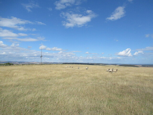
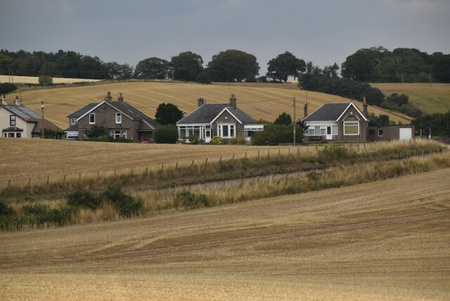
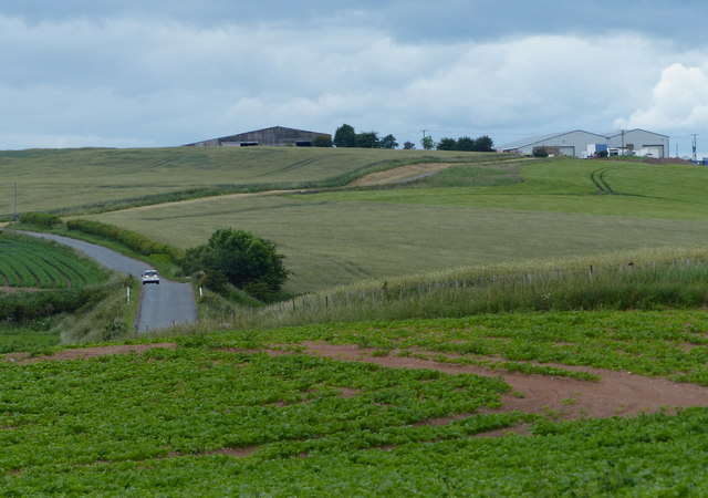
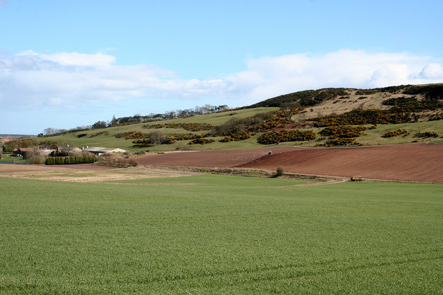
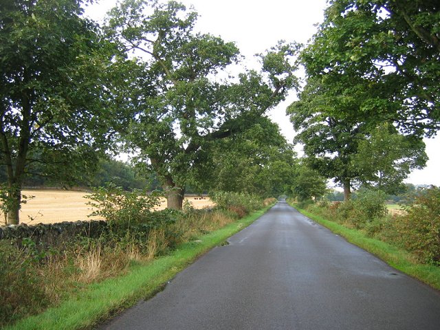
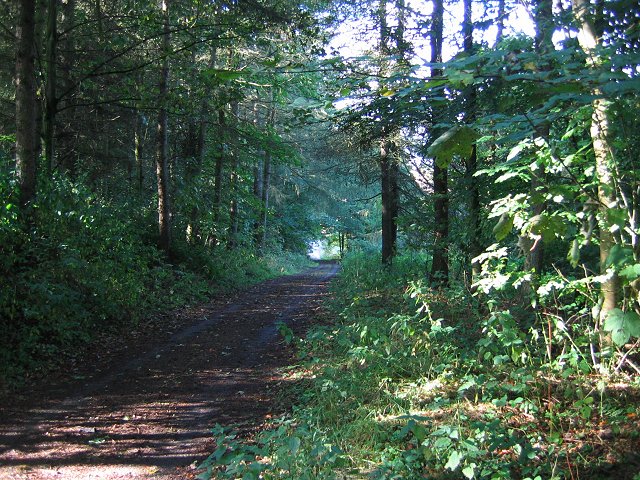
Camp Wood is a picturesque woodland located in Fife, Scotland. Situated near the small village of Ceres, the wood covers an area of approximately 200 acres and is a popular destination for nature enthusiasts and outdoor activities.
The woodland is primarily composed of native broadleaf trees, including oak, beech, and birch, which create a diverse and vibrant ecosystem. The dense canopy provides a sheltered environment for a variety of wildlife, including birds, squirrels, and deer.
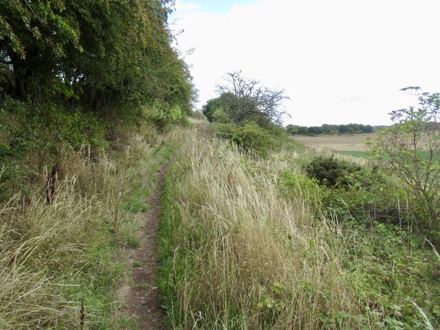
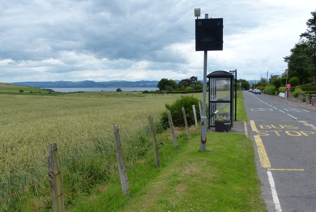
Camp Wood offers visitors a range of recreational activities and amenities. There are well-maintained walking trails that wind through the wood, allowing visitors to explore its natural beauty. These trails provide an opportunity to observe the woodland's flora and fauna up close and appreciate its tranquility.
For those interested in camping, there are designated camping areas with facilities such as fire pits and picnic tables. The wood's peaceful atmosphere makes it an ideal spot for overnight stays and outdoor gatherings.
The management of Camp Wood is committed to conservation and sustainability, ensuring that the woodland remains a haven for wildlife and a cherished recreational space for visitors. Regular maintenance activities, such as tree planting and invasive species management, are undertaken to preserve the ecological balance of the wood.
Overall, Camp Wood in Fife offers a serene and captivating experience for nature lovers and outdoor enthusiasts alike. Its natural beauty, diverse wildlife, and well-maintained amenities make it a must-visit destination for those seeking a genuine connection with the Scottish countryside.
If you have any feedback on the listing, please let us know in the comments section below.
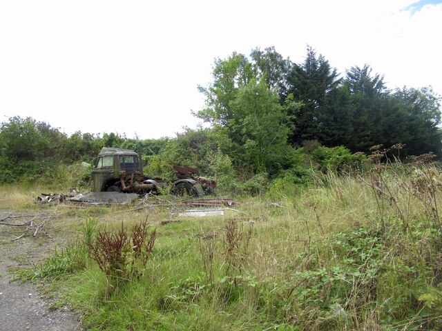
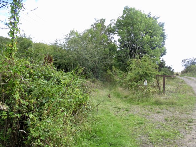
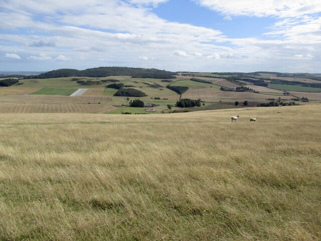
Camp Wood Images
Images are sourced within 2km of 56.414121/-2.9516151 or Grid Reference NO4125. Thanks to Geograph Open Source API. All images are credited.
Camp Wood is located at Grid Ref: NO4125 (Lat: 56.414121, Lng: -2.9516151)
Unitary Authority: Fife
Police Authority: Fife
What 3 Words
///pills.smallest.masterful. Near Newport-on-Tay, Fife
Nearby Locations
Related Wikis

St Fort
St Fort (, , or ) is a rural area, largely in Forgan parish, Fife. The current form of the name is late eighteenth century, the origin being a sandy ford...

St Fort railway station
St. Fort railway station served the civil parish of Forgan, Fife, Scotland from 1878 to 1965 on the Tay Bridge Line and Newburgh and North Fife Railway...
Forgan (Fife)
Forgan is a civil parish in the Scottish county of Fife. It extends 4 miles in length along the north coast of Fife and is at the southern mouth of the...

Wormit
Wormit is a village on the south shore of the Firth of Tay in north-east Fife, Scotland. Its location at the southern end of the Tay Rail Bridge has led...

Woodhaven, Fife
Woodhaven used to be a small village between Newport-on-Tay and Wormit in Fife, Scotland. Due to expansion of these two villages over the years, it is...

Wormit railway station
Wormit railway station served the town of Wormit, Fife, Scotland from 1889 to 1969 on the Newport Railway. == History == The station opened on 1 May 1889...
Newport-on-Tay West railway station
Newport-on-Tay West railway station served the town of Newport-on-Tay, Fife, Scotland, from 1879 to 1969 on the Newport Railway. == History == The station...
Pickletillum
Pickletillem or Pickletillum is a hamlet situated in Fife, Scotland. It is 9 miles (14 km) from the town of St. Andrews and 5.9 miles (9.5 km) from the...
Nearby Amenities
Located within 500m of 56.414121,-2.9516151Have you been to Camp Wood?
Leave your review of Camp Wood below (or comments, questions and feedback).