Curlingpond Plantation

Wood, Forest in Selkirkshire

Scotland

Curlingpond Plantation

Causeway Bridge, Alemoor Reservoir
Causeway Bridge, Alemoor Reservoir Credit: Peter Bond

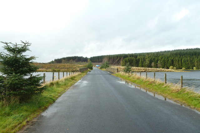
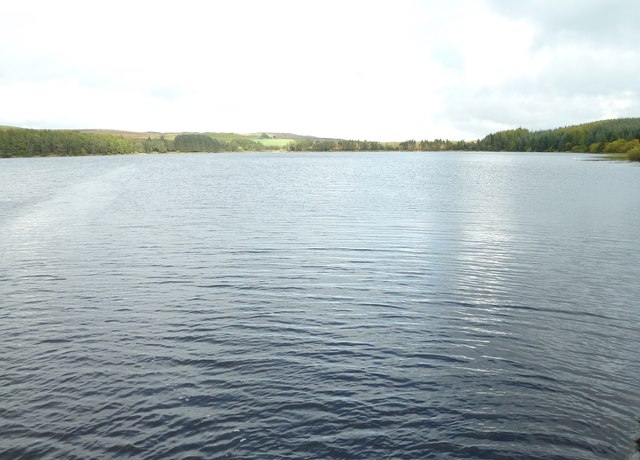
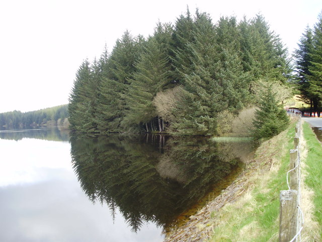
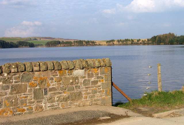
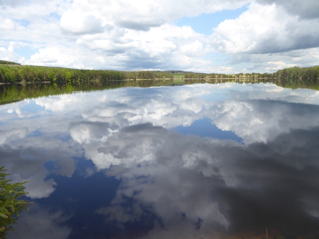
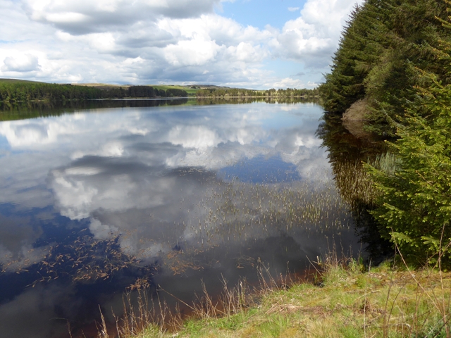
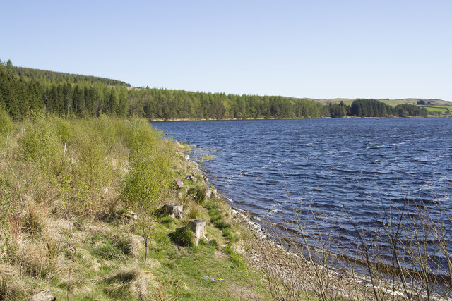
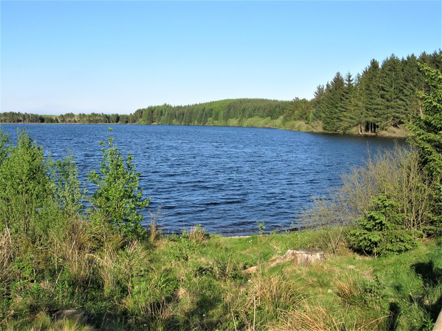
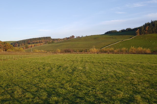
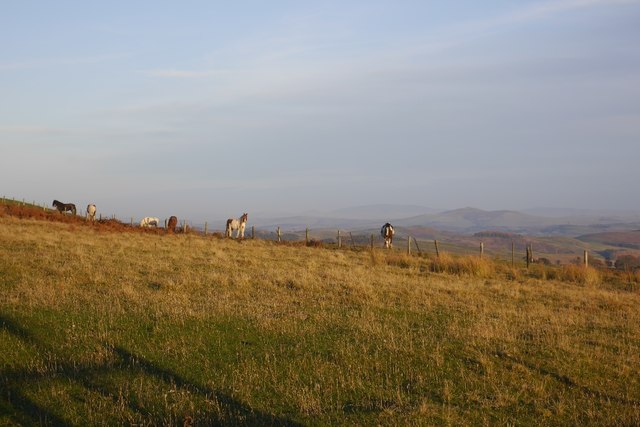
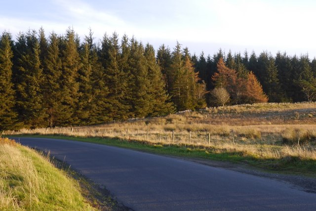
Curlingpond Plantation is a picturesque woodland located in Selkirkshire, Scotland. Covering an expansive area of lush greenery, it is a designated forest area that offers a serene and tranquil environment for visitors to explore. The plantation is well-known for its dense growth of various tree species, creating a diverse ecosystem and providing a haven for wildlife.

The diverse range of trees found in Curlingpond Plantation includes oak, beech, birch, and pine. These trees not only contribute to the aesthetic beauty of the area but also provide a habitat for numerous bird species, such as woodpeckers and owls. Small mammals like squirrels and rabbits can also be spotted darting among the foliage.

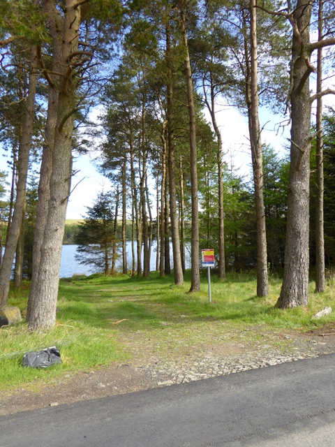
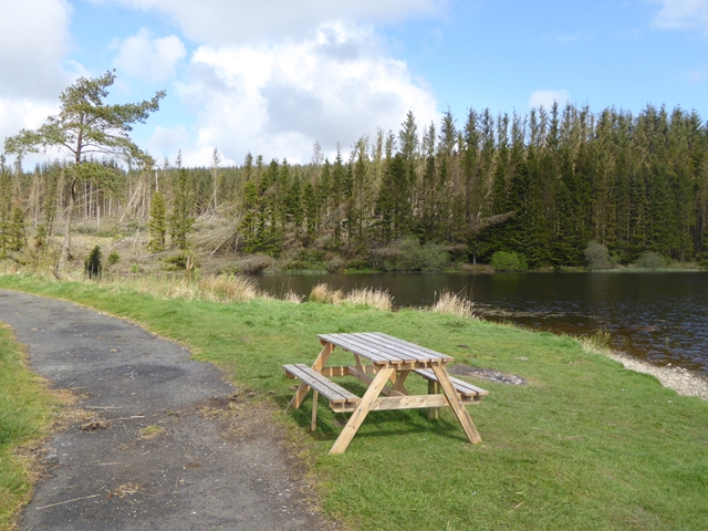
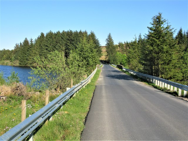
The plantation offers several walking trails, allowing visitors to immerse themselves in the natural beauty of the surroundings. These trails wind through the woodland, offering stunning views of the vibrant flora and fauna. Nature enthusiasts can also enjoy birdwatching or simply find solace in the peaceful ambiance.

Curlingpond Plantation is a popular destination for outdoor activities such as hiking, picnicking, and photography. The well-maintained pathways make it accessible for people of all ages and abilities to enjoy the plantation's beauty.

Overall, Curlingpond Plantation is a hidden gem in Selkirkshire, offering a chance to escape the hustle and bustle of everyday life and reconnect with nature.

If you have any feedback on the listing, please let us know in the comments section below.

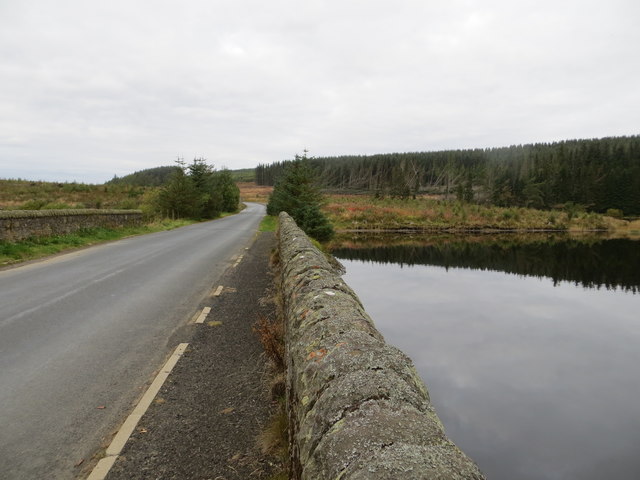
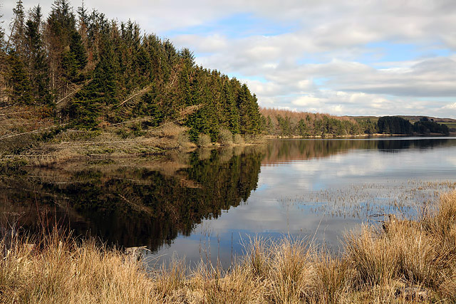
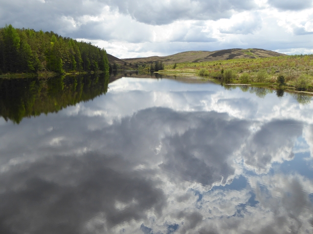
Curlingpond Plantation Images

Images are sourced within 2km of 55.417385/-2.9284173 or Grid Reference NT4114. Thanks to Geograph Open Source API. All images are credited.

Causeway Bridge, Alemoor Reservoir
Alemoor Reservoir
Alemoor Reservoir
Reflections on Alemoor Alemoor Reservoir from the causeway on the way to Hawick
Reflections on Alemoor
Alemoor Reservoir from the causeway on the way to Hawick
Alemoor Reservoir Alemoor Reservoir lies both to the north and south of the B711 which crosses it by a causeway and bridge; the bulk of the reservoir's water lies to the north of the road and is seen here. The wall in the image, which is a parapet of the bridge, carries the OS flush bracket numbered 11071; it's clearly seen.
Alemoor Reservoir
Alemoor Reservoir lies both to the north and south of the B711 which crosses it by a causeway and bridge; the bulk of the reservoir's water lies to the north of the road and is seen here. The wall in the image, which is a parapet of the bridge, carries the OS flush bracket numbered 11071; it's clearly seen.
Ordnance Survey Flush Bracket 11071 This can be found on the parapet wall of Alemoor Reservoir.
For more detail see : <span class="nowrap"><a title="http://www.bench-marks.org.uk/bm11108" rel="nofollow ugc noopener" href="http://www.bench-marks.org.uk/bm11108">Link</a><img style="margin-left:2px;" alt="External link" title="External link - shift click to open in new window" src="https://s1.geograph.org.uk/img/external.png" width="10" height="10"/></span>
Ordnance Survey Flush Bracket 11071
This can be found on the parapet wall of Alemoor Reservoir. For more detail see : LinkExternal link
The Causeway Road (B711) crossing Alemoor Reservoir Looking westward.
The Causeway Road (B711) crossing Alemoor Reservoir
Looking westward.
Alemoor Reservoir
Alemoor Reservoir
Reflected cloudscape Looking west from the Causeway up the narrow central section of Alemoor Reservoir.
Reflected cloudscape
Looking west from the Causeway up the narrow central section of Alemoor Reservoir.
Reflected cloudscape Looking from the Causeway towards the eastern end of the Alemoor Reservoir.
Reflected cloudscape
Looking from the Causeway towards the eastern end of the Alemoor Reservoir.
Reflected cloudscape Looking from the Causeway towards the eastern end of the Alemoor Reservoir.
Reflected cloudscape
Looking from the Causeway towards the eastern end of the Alemoor Reservoir.
Track to the water's edge A short track leading through the trees from the B711 to the south shore of Alemoor Reservoir. The notice cheerily informs us that "Deaths have occurred at reservoirs".
Track to the water's edge
A short track leading through the trees from the B711 to the south shore of Alemoor Reservoir. The notice cheerily informs us that "Deaths have occurred at reservoirs".
Picnic table by the Alemoor Reservoir On a short length of abandoned road near the Causeway which divides the reservoir into two parts.
Picnic table by the Alemoor Reservoir
On a short length of abandoned road near the Causeway which divides the reservoir into two parts.
The Alemoor Reservoir The Alemoor Reservoir is crossed by a causeway on which runs the B711. This road is rather variable in parts being single track and passing places in others rather wider.
The Alemoor Reservoir
The Alemoor Reservoir is crossed by a causeway on which runs the B711. This road is rather variable in parts being single track and passing places in others rather wider.
Causeway in the Alemoor Reservoir Sometimes known as Alemoor Loch, the causeway carries the B711 and divides the reservoir into 2 parts.
Causeway in the Alemoor Reservoir
Sometimes known as Alemoor Loch, the causeway carries the B711 and divides the reservoir into 2 parts.
Northern Half of Alemoor Reservoir Alemoor Reservoir is divided into 2 parts by the causeway carrying the B711. This view of the northern half is from the western end of the causeway.
Northern Half of Alemoor Reservoir
Alemoor Reservoir is divided into 2 parts by the causeway carrying the B711. This view of the northern half is from the western end of the causeway.
Haugh below Milsingden Flat grassland beside the Borthwick Water.
Haugh below Milsingden
Flat grassland beside the Borthwick Water.
Rough grazing Hill pasture above Wester Alemoor.
Rough grazing
Hill pasture above Wester Alemoor.
Parkend Plantation B711 passes a small conifer block.
Parkend Plantation
B711 passes a small conifer block.
Show me another place!

Curlingpond Plantation is located at Grid Ref: NT4114 (Lat: 55.417385, Lng: -2.9284173)

Unitary Authority: The Scottish Borders

Police Authority: The Lothians and Scottish Borders

What 3 Words

///landlords.goodness.lift. Near Hawick, Scottish Borders

Nearby Locations

Curlingpond Plantation

Related Wikis

Burnfoot, Roberton

Burnfoot (Scottish Gaelic: Bun na h-Aibhne) is a hamlet in the Scottish Borders area of Scotland, close to Roberton, by the Borthwick Water. The nearest...

Roberton, Scottish Borders

Roberton is a small village in the Scottish Borders area of Scotland, on the B711 and near to the A7, 5 miles (8 kilometres) from Hawick, 22 mi (35 km...

Alemoor Loch

Alemoor Loch, also known as Alemoor Reservoir, is a small reservoir in the Scottish Borders area of Scotland. It is situated on the Ale Water, 10 kilometres...

Harden Castle

Harden Castle is a 16th century tower house, about 3.5 miles (5.6 km) west of Hawick, Scottish Borders. It is alternatively known as Harden House or Harden...

Related Videos

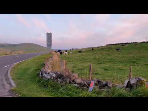
Amazing Scotland sight seeing

Roberton, Scotland after Lake District towards Edinburgh.

Roberton Ride Out. Hawick Common Riding.

Highlights from the first Common Ride of my Scottish Borders Globetrotting holiday aboard the absolutely gorgeous Skye.

Grant on ice

Guy walking on a frozen reservoir.

Sweet Happy Easter journal for Nathalie of LineDotArrow

Happy Easter Bank Holiday Everyone It is really cold in snowy Hawick today. Think we went back to Winter. This journal is for the ...

Nearby Amenities

Located within 500m of 55.417385,-2.9284173
Power: pole
Lat/Long: 55.4131505/-2.930227
Power: pole
Lat/Long: 55.4135671/-2.9292176
Power: pole
Lat/Long: 55.4137966/-2.9278734
Power: pole
Lat/Long: 55.4140348/-2.926537
Power: pole
Lat/Long: 55.4142687/-2.9251852
Power: pole
Lat/Long: 55.4143973/-2.9244539
Power: pole
Lat/Long: 55.4149101/-2.923483
Power: pole
Lat/Long: 55.4155111/-2.922345
Power: pole
Lat/Long: 55.416103/-2.9212429
Power: pole
Lat/Long: 55.4166643/-2.9206275
Power: pole
Lat/Long: 55.4143871/-2.9235681
The data included in this document is from www.openstreetmap.org. The data is made available under ODbL.

Have you been to Curlingpond Plantation?

Leave your review of Curlingpond Plantation below (or comments, questions and feedback).