Prairie Wood
Wood, Forest in Fife
Scotland
Prairie Wood
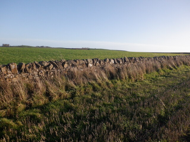
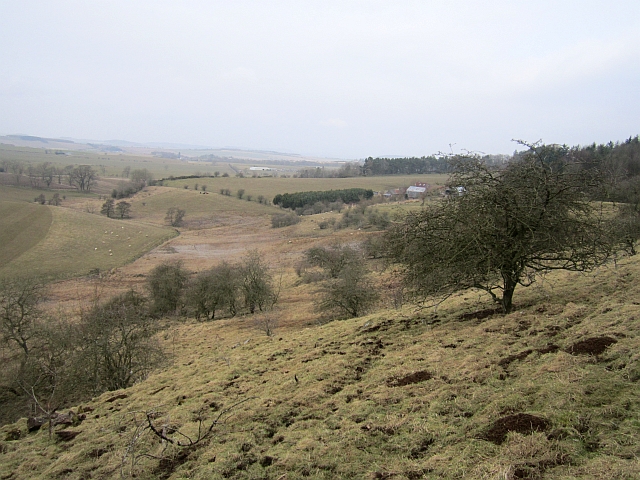
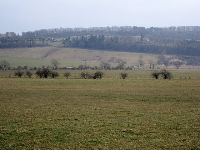
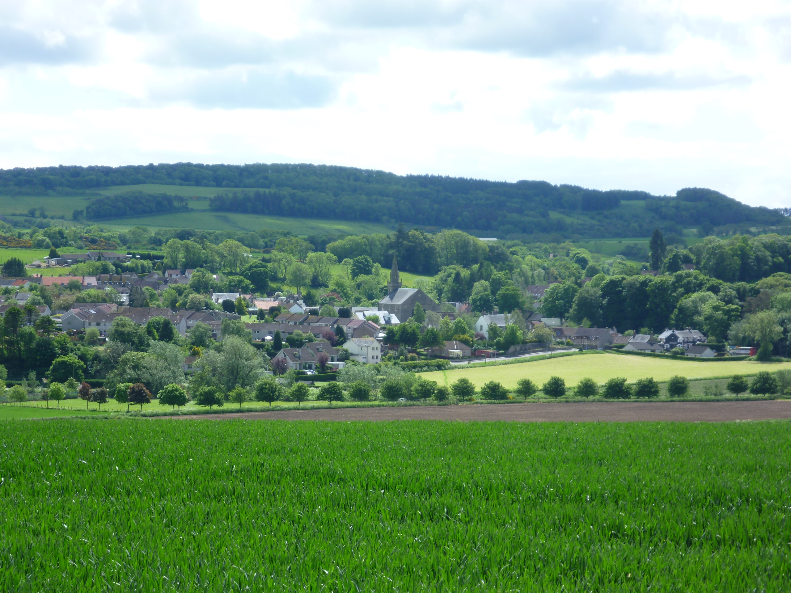
Prairie Wood, located in Fife, Scotland, is a serene and picturesque forest that covers an expansive area of land. Known for its abundant wildlife and diverse vegetation, this wood is a popular destination for nature enthusiasts, hikers, and birdwatchers.
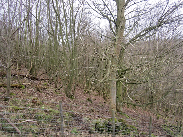
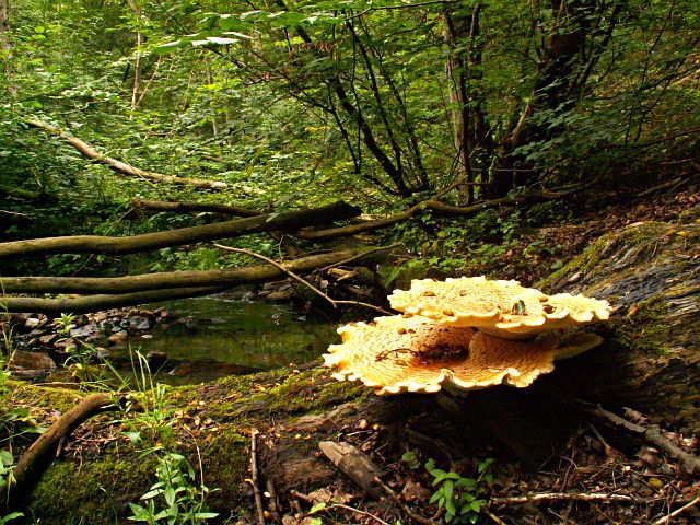
The wood is predominantly made up of native tree species such as oak, birch, and pine, creating a dense and lush canopy that provides shelter and food for numerous animal species. The forest floor is adorned with a variety of wildflowers, ferns, and mosses, adding to the wood's natural beauty.
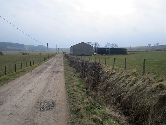
The wood is intersected by several well-maintained walking trails, allowing visitors to explore its vast expanse and discover its hidden gems. These trails are suitable for all levels of fitness and provide opportunities to catch glimpses of the various wildlife that call Prairie Wood home. Red squirrels, roe deer, and a wide array of bird species, including the elusive woodpecker and tawny owl, can be spotted within the forest.
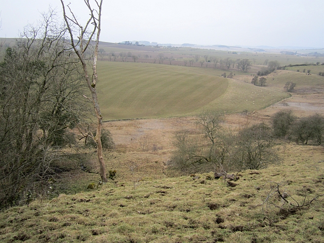
Prairie Wood is not only a haven for wildlife and plant species but also offers a peaceful retreat for visitors seeking solitude and tranquility. The wood's natural surroundings, coupled with the soothing sounds of chirping birds and rustling leaves, create a calming atmosphere that allows visitors to escape the hustle and bustle of everyday life.
Overall, Prairie Wood in Fife is a nature lover's paradise, providing an opportunity to immerse oneself in the beauty of Scotland's natural landscape and witness the wonders of its diverse ecosystem.
If you have any feedback on the listing, please let us know in the comments section below.
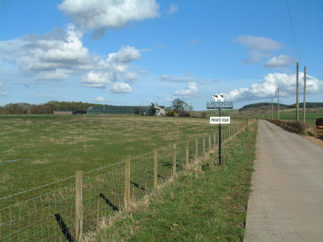
Prairie Wood Images
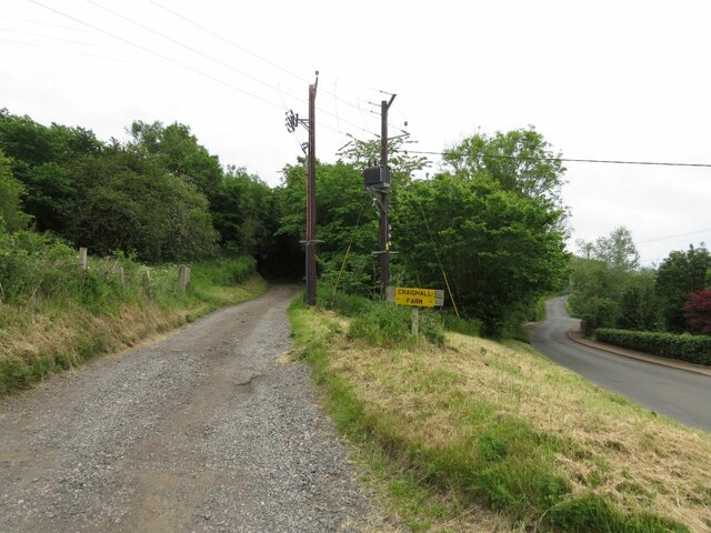
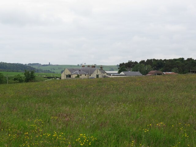
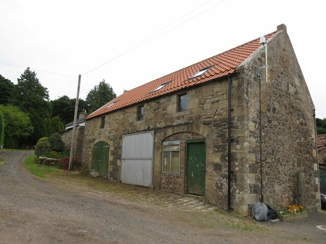
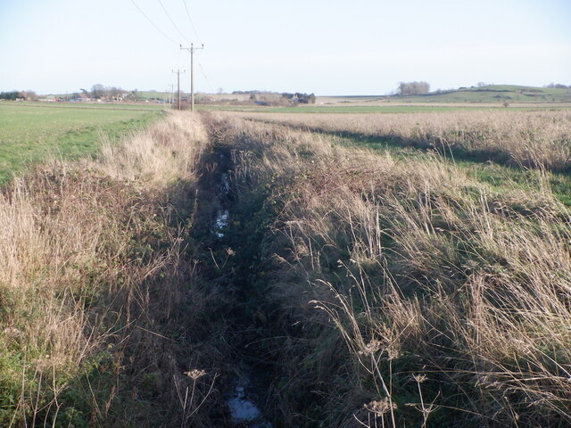
Images are sourced within 2km of 56.275197/-2.9510039 or Grid Reference NO4109. Thanks to Geograph Open Source API. All images are credited.

Prairie Wood is located at Grid Ref: NO4109 (Lat: 56.275197, Lng: -2.9510039)
Unitary Authority: Fife
Police Authority: Fife
What 3 Words
///ticking.depravity.scrub. Near Cupar, Fife
Nearby Locations
Related Wikis

Craighall Castle
Craighall Castle is located in Ceres, Fife, Scotland. It was built in 1637 by Sir Thomas Hope but there was a tower of previous land owners before 1637...
Ceres, Fife
Ceres is a village in Fife, Scotland, located in a small glen approximately 2 miles (3 km) over the Ceres Moor from Cupar and 7 mi (11 km) from St Andrews...

Pitscottie
Pitscottie is a village in the Parish of Ceres, Fife, situated on the Ceres Burn at a road junction to the south of Dura Den and 3 miles (5 km) southeast...

Hill of Tarvit
The Hill of Tarvit is a 20th-century mansion house and gardens in Fife, Scotland. They were designed by Sir Robert Lorimer and are today owned by the National...
Dura Den
Dura Den is a small, 3 km-long wooded gorge that is located near Cupar in northeastern Fife, Scotland. This narrow cleft follows a course between the villages...

Peat Inn
Peat Inn is a hamlet in Fife, Scotland, around 7 miles (11 kilometres) southeast of Cupar on the B940 and 6 miles (10 kilometres) southwest of St Andrews...
St Andrews Burghs (UK Parliament constituency)
St Andrews Burghs was a district of burghs constituency, representing various burghs of Fife, Scotland, in the House of Commons of the Parliament of the...

Scotstarvit Tower
Scotstarvit Tower is a tower house in Fife, Scotland. It is situated 2 miles (3.2 km) south of Cupar, between Tarvit Hill and Walton Hill, south of the...
Nearby Amenities
Located within 500m of 56.275197,-2.9510039Have you been to Prairie Wood?
Leave your review of Prairie Wood below (or comments, questions and feedback).