Wilderness Wood
Wood, Forest in Fife
Scotland
Wilderness Wood
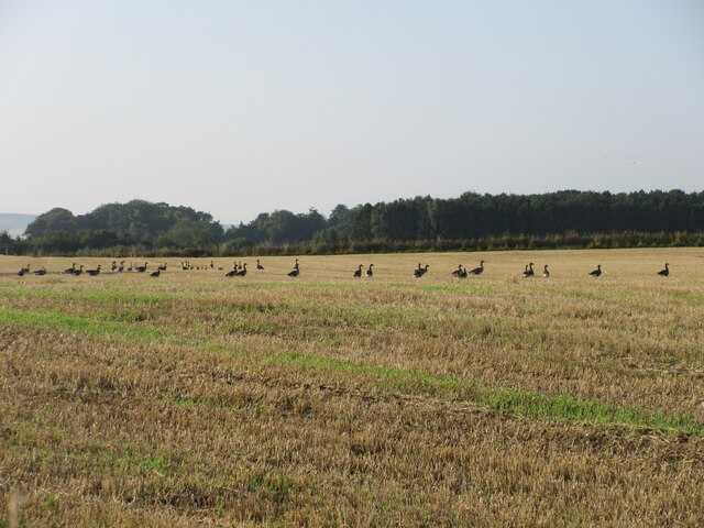
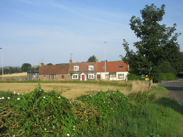
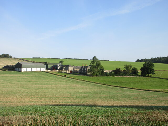
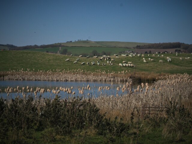
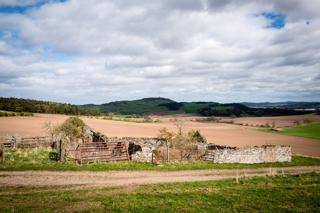
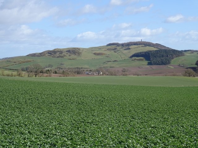
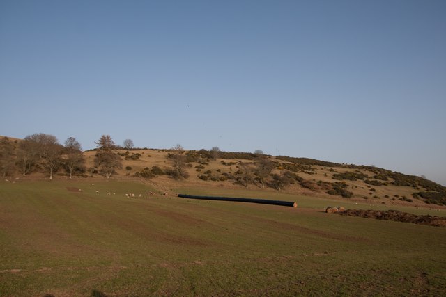
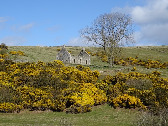
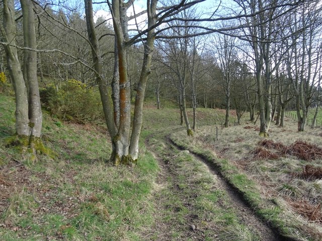
Wilderness Wood is a picturesque woodland located in the county of Fife, Scotland. This ancient forest covers an area of approximately 200 acres and is nestled within the beautiful countryside of Fife. The wood is characterized by its dense canopy of native trees, including oak, birch, and pine, creating a serene and tranquil atmosphere.
The wood is home to a diverse range of wildlife, making it a haven for nature enthusiasts and birdwatchers. Visitors may spot a variety of bird species, such as woodpeckers, owls, and buzzards, as well as small mammals like red squirrels and deer. The wood also hosts a rich assortment of plant life, with carpets of bluebells and wildflowers in the spring.
Several walking trails wind through Wilderness Wood, allowing visitors to explore its natural beauty. These paths provide an opportunity to immerse oneself in the peaceful surroundings and appreciate the ancient woodland. The wood is also popular among dog walkers and families, offering a safe and enjoyable environment for both children and pets.
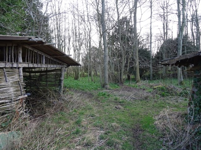
In addition to its natural wonders, Wilderness Wood offers educational and recreational activities for all ages. The wood hosts workshops and events throughout the year, focusing on topics such as woodland management, conservation, and traditional crafts. Visitors can learn about sustainable woodland practices and even try their hand at woodworking or green woodworking.
Overall, Wilderness Wood in Fife is a captivating destination for those seeking to connect with nature and learn about the importance of woodland conservation. With its stunning landscapes, abundant wildlife, and engaging activities, it provides a truly enriching experience for all who visit.
If you have any feedback on the listing, please let us know in the comments section below.
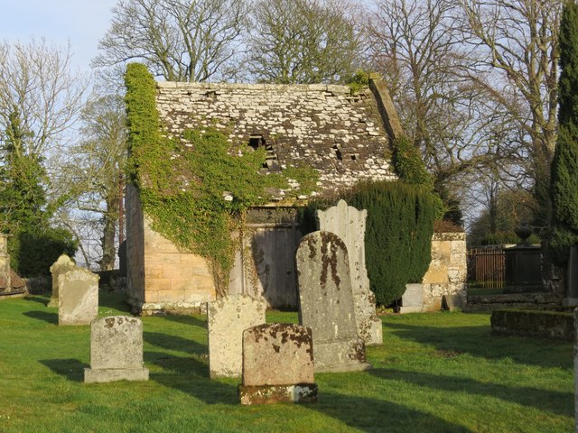
Wilderness Wood Images
Images are sourced within 2km of 56.32246/-3.1133224 or Grid Reference NO3115. Thanks to Geograph Open Source API. All images are credited.
Wilderness Wood is located at Grid Ref: NO3115 (Lat: 56.32246, Lng: -3.1133224)
Unitary Authority: Fife
Police Authority: Fife
What 3 Words
///shade.opts.freshen. Near Ladybank, Fife
Nearby Locations
Related Wikis

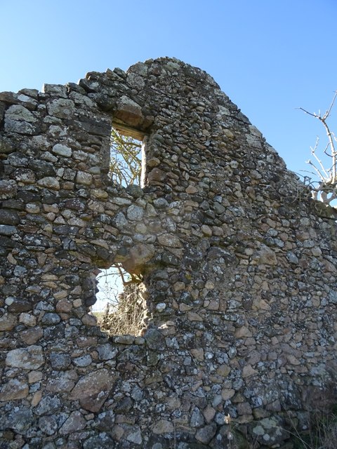
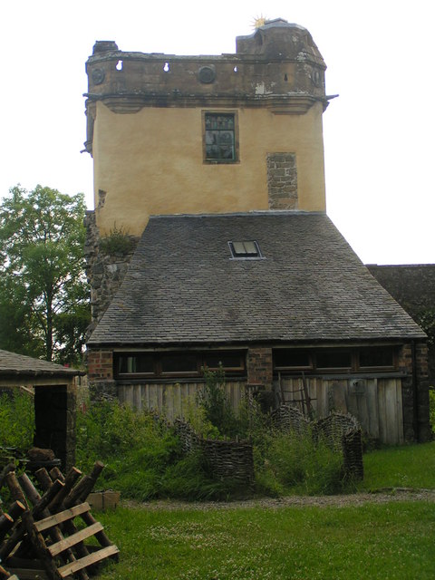
Fernie Castle
Fernie Castle is an enlarged sixteenth-century tower house in north-east Fife, Scotland. Originally built in an L-plan layout, it was later extended to...

Secret Garden (outdoor nursery)
The Secret Garden is an outdoor nursery school in Letham, Fife, Scotland, for children aged 3–7 years. It is a forest kindergarten in which children walk...
Letham, Fife
Letham is a small village in Fife, Scotland, located just off the A92, around 5 miles from Cupar. According to the 2001 Census, Letham has 138 residents...
Palace of Monimail
The Palace of Monimail, also known as Monimail Tower, was a Renaissance palace in Fife, Scotland. A residence of the Archbishops of St Andrews from the...

Melville House
Melville House is a 1697 house that lies to the south side of the Palace of Monimail near Collessie in Fife, Scotland. It has been a school and a training...

Collairnie Castle
Collairnie Castle is an L-plan castle in Dunbog, Fife, Scotland. The castle was extended in the 16th century, with a wing added of 4 storeys with an attic...

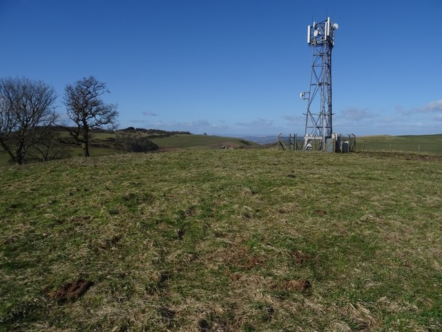
Mount Hill
Mount Hill rises from the rolling farmland about three miles north west of Cupar in North East Fife, Scotland. On its summit stands the 29-metre (95 ft...
Dunbog
Dunbog is a parish in the county of Fife in Scotland which is now (since 1983) united with the neighbouring parish of Abdie, Dunbog kirk closing at that...
Nearby Amenities
Located within 500m of 56.32246,-3.1133224Have you been to Wilderness Wood?
Leave your review of Wilderness Wood below (or comments, questions and feedback).