Millburn Wood
Wood, Forest in Stirlingshire
Scotland
Millburn Wood
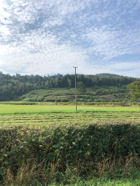
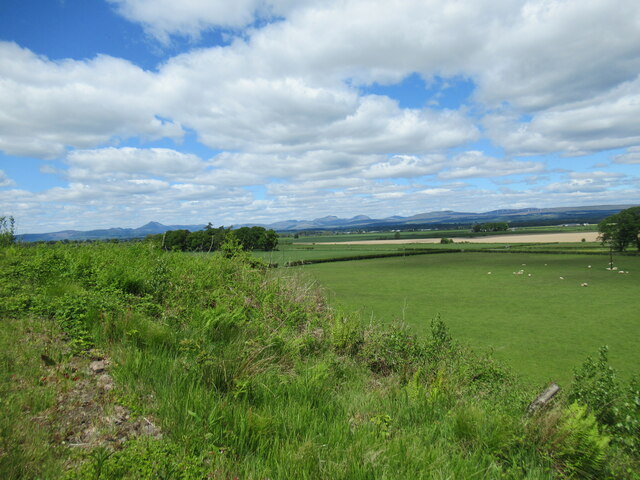
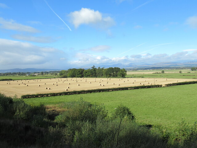
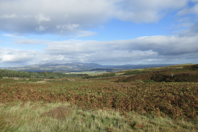
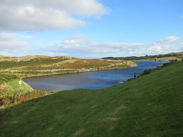
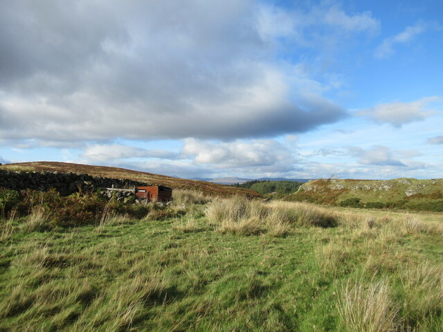
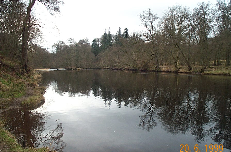
Millburn Wood is a picturesque woodland located in Stirlingshire, Scotland. Covering an area of approximately 100 acres, it is a popular destination for nature enthusiasts and outdoor lovers. The wood is situated near the village of Doune and is easily accessible from the surrounding areas.
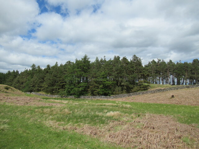
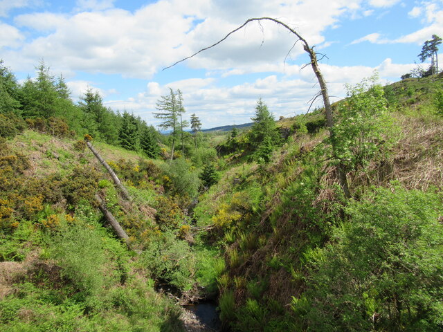
Millburn Wood is characterized by its diverse range of tree species, including oak, birch, and Scots pine. The woodland floor is adorned with a rich carpet of wildflowers, adding to its natural beauty. Visitors can also find a variety of wildlife within the wood, such as red squirrels, roe deer, and a plethora of bird species.
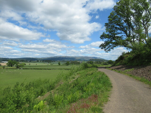
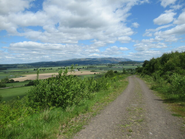
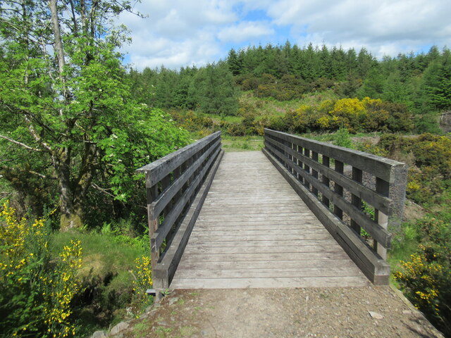
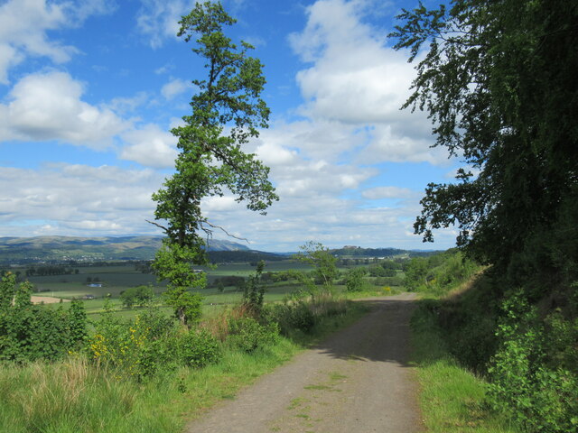
The wood offers several well-marked trails, allowing visitors to explore its scenic surroundings. These paths cater to all levels of fitness and offer stunning views of the surrounding countryside. Additionally, there are picnic areas and benches strategically placed throughout the wood, providing visitors with the opportunity to relax and take in the tranquil atmosphere.
Millburn Wood also holds historical significance, with remnants of an ancient fort dating back to the Iron Age. Archaeological finds have unearthed evidence of past settlements, adding an air of intrigue and curiosity to the wood.
Overall, Millburn Wood provides a serene escape from the hustle and bustle of everyday life. Its natural beauty, diverse wildlife, and historical significance make it an ideal destination for those seeking solace in nature or an educational adventure in Scotland's great outdoors.
If you have any feedback on the listing, please let us know in the comments section below.
Millburn Wood Images
Images are sourced within 2km of 56.11081/-4.0143442 or Grid Reference NS7492. Thanks to Geograph Open Source API. All images are credited.


Millburn Wood is located at Grid Ref: NS7492 (Lat: 56.11081, Lng: -4.0143442)
Unitary Authority: Stirling
Police Authority: Forth Valley
What 3 Words
///mistaking.union.stand. Near Stirling
Nearby Locations
Related Wikis

Touch House
Touch House is a country house located 4 kilometres (2.5 mi) west of Stirling in central Scotland. It stands at the foot of the Touch Hills, on the south...

Gillies Hill
Gillies Hill is located west of Stirling and the M9, south of Cambusbarron, and north of the Bannock Burn in Central Scotland. Gillies Hill covers a 140...

Cambusbarron
Cambusbarron is a village in Stirling, Scotland. In the 2001 census, it had a population of 3,224. There is evidence of settlement at the site since the...
Birkhill House, Stirling
Birkhill House is a historic house situated between the city of Stirling and the village of Cambusbarron in central Scotland. == History == There is evidence...
Torbrex Village
Torbrex is a small village in Scotland. Geographically Torbrex is enclosed within Stirling by Cambusbarron to the west, St. Ninians to the south, Livlilands...
River Teith
The River Teith is a river in Scotland, which is formed from the confluence of two smaller rivers, the Garbh Uisge (River Leny) and Eas Gobhain at Callander...

Gargunnock railway station
Gargunnock railway station served the village of Gargunnock, Stirling, Scotland, from 1856 to 1959 on the Forth and Clyde Junction Railway. == History... ==
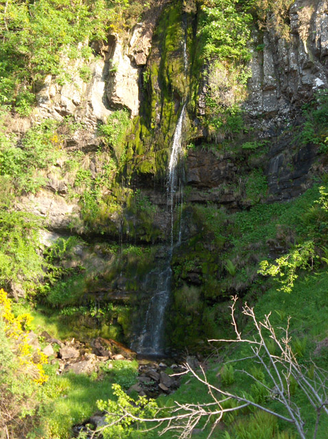
Downie's Loup
Downie's Loup is a waterfall of Scotland located near the village of Gargunnock. == See also == Waterfalls of Scotland == References ==
Nearby Amenities
Located within 500m of 56.11081,-4.0143442Have you been to Millburn Wood?
Leave your review of Millburn Wood below (or comments, questions and feedback).