Heatherfield Wood

Wood, Forest in Lanarkshire

Scotland

Heatherfield Wood

Rough grazing towards Rigghead
Rough grazing towards Rigghead Credit: JThomas

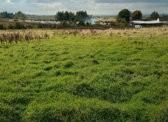
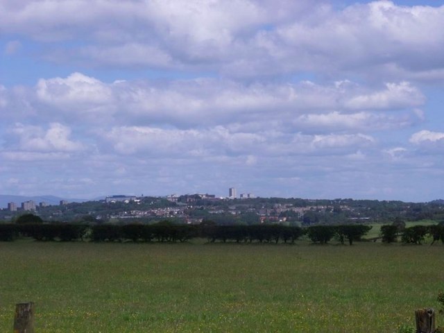
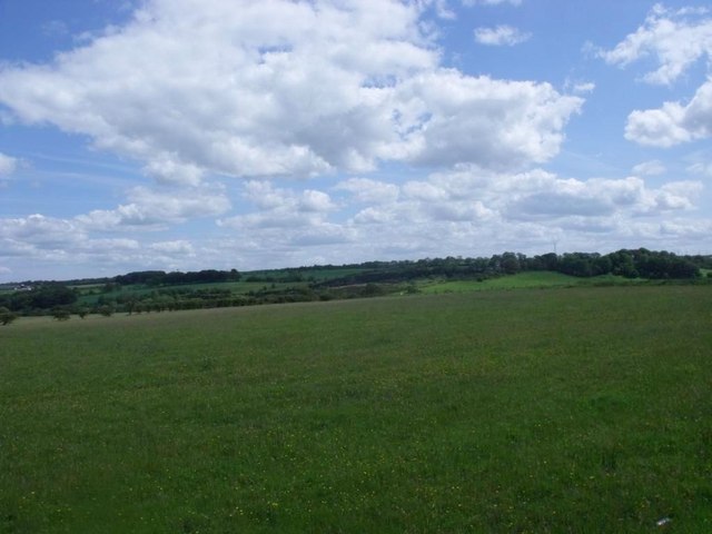
Heatherfield Wood is a picturesque forest located in Lanarkshire, Scotland. Spanning over a vast area of land, this woodland is a haven for outdoor enthusiasts and nature lovers alike. The wood is named after the abundant heather that covers the forest floor, creating a vibrant purple carpet during the blooming season.

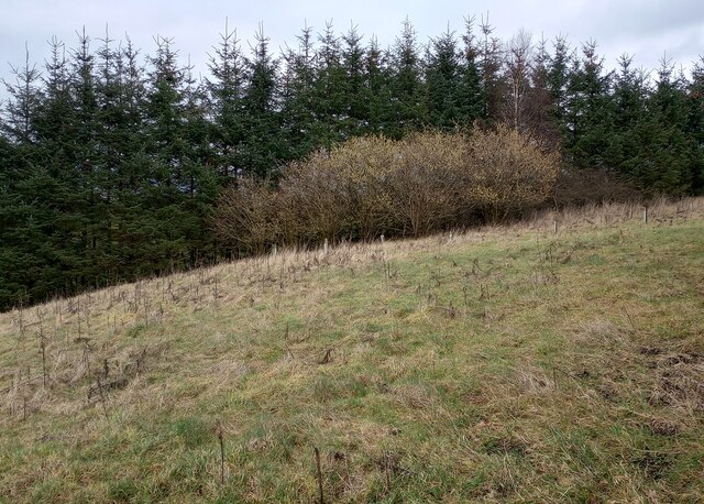
The wood is home to a diverse range of flora and fauna, making it an important ecological site. Native trees such as oak, birch, and pine dominate the landscape, providing a habitat for various bird species, including woodpeckers and owls. Additionally, the wood is inhabited by small mammals such as squirrels and rabbits, as well as larger animals like deer and foxes.

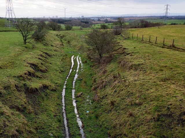
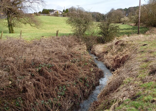
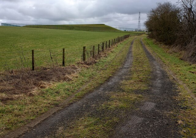
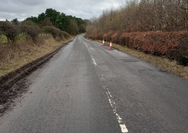
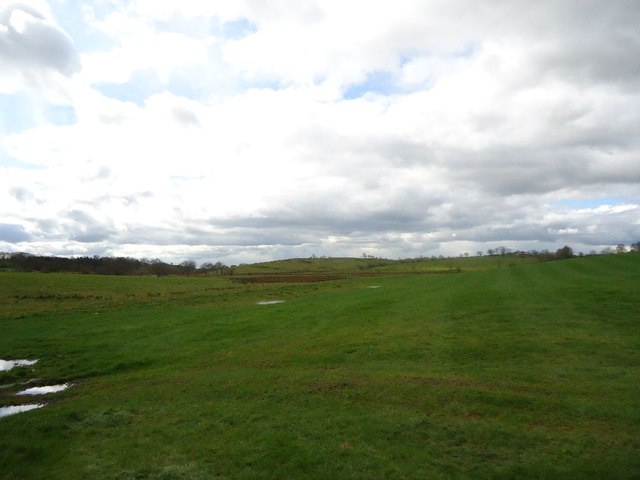
A network of well-maintained walking trails winds through Heatherfield Wood, offering visitors the opportunity to explore its natural beauty. The trails are suitable for all levels of hikers and provide stunning views of the surrounding countryside. Along the way, walkers may come across several picturesque spots, including a tranquil pond and a babbling brook.

The wood is also a popular destination for birdwatching, with dedicated bird hides strategically placed throughout the area. Birdwatchers can spot a wide variety of species, including rare and migratory birds that pass through the wood during certain seasons.

Heatherfield Wood is a true gem of Lanarkshire, offering visitors a chance to immerse themselves in the breathtaking beauty of nature. Whether it's a leisurely stroll through the woods or an adventurous hike, this woodland provides an unforgettable experience for all who visit.

If you have any feedback on the listing, please let us know in the comments section below.

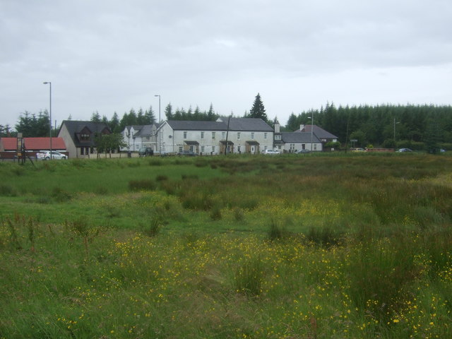
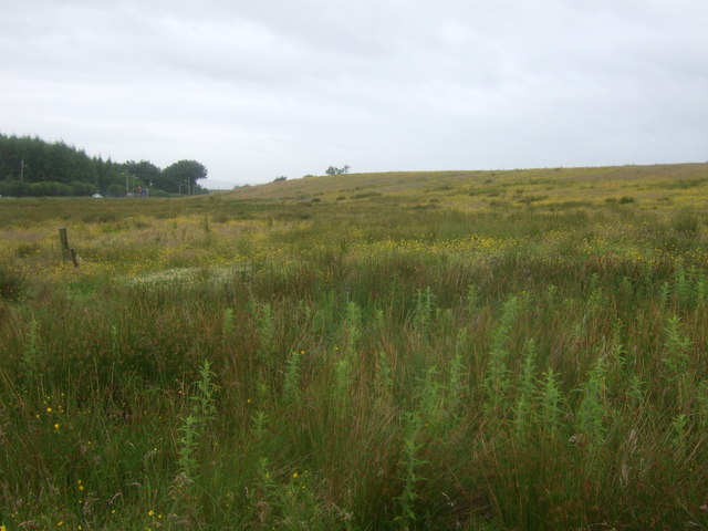
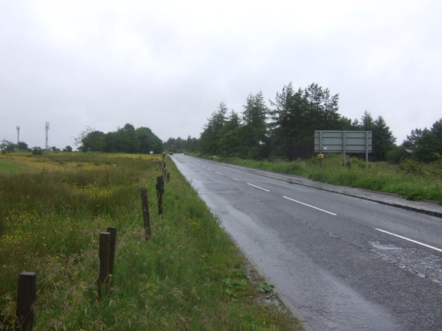
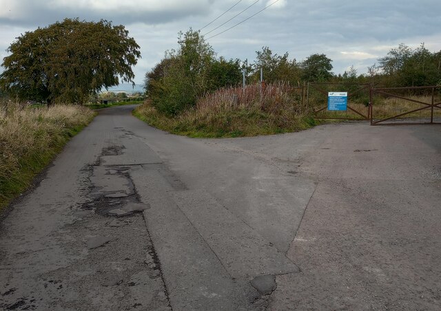
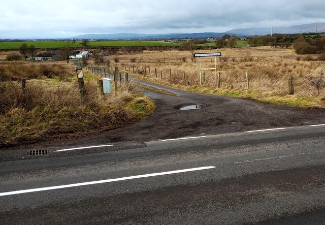
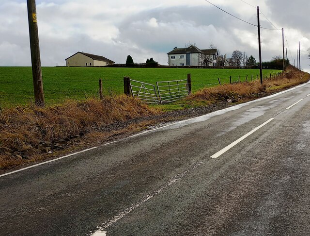
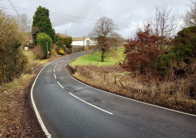
Heatherfield Wood Images

Images are sourced within 2km of 55.907697/-4.0040701 or Grid Reference NS7470. Thanks to Geograph Open Source API. All images are credited.

Rough grazing towards Rigghead
Rough grazing, Rigghead Off Greengairs Road.
Rough grazing, Rigghead
Off Greengairs Road.
Greengairs Road (B803) Looking north east.
Greengairs Road (B803)
Looking north east.
Old Biggar Road Gate on right to former land fill
Old Biggar Road
Gate on right to former land fill
View over rough grazing Caravan storage on other side
View over rough grazing
Caravan storage on other side
B802: Condorrat Road The wall beside the puddle seemed to be damaged by water thrown against it over a prolonged period
B802: Condorrat Road
The wall beside the puddle seemed to be damaged by water thrown against it over a prolonged period
Brackenhirst Farm At junction of Condorrat Road and Brackenhirst Road
Brackenhirst Farm
At junction of Condorrat Road and Brackenhirst Road
Shank Burn A tributary of Luggie Water; about to run under Condorrat Road
Shank Burn
A tributary of Luggie Water; about to run under Condorrat Road
Farm entrance off B802 Access to West Gartmillan
Farm entrance off B802
Access to West Gartmillan
Looking up to Arderyth Looking at old maps the house appears to be originally of inter-war date
Looking up to Arderyth
Looking at old maps the house appears to be originally of inter-war date
Entering double bend B802 passing East Gartmillan
Entering double bend
B802 passing East Gartmillan
Track leading to covered reservoir Covered reservoir from another direction <a href="https://www.geograph.org.uk/photo/1625346">NS7568 : Covered reservoir and coal bings at Ryding</a>
Track leading to covered reservoir
Covered reservoir from another direction NS7568 : Covered reservoir and coal bings at Ryding
Signs of Spring Catkins appearing on deciduous trees with darker conifers behind
Signs of Spring
Catkins appearing on deciduous trees with darker conifers behind
Brackenhirst Road Recent patching work evident
Brackenhirst Road
Recent patching work evident
Annathill, pasture View to north-east with the town of Cumbernauld in the distance.
Annathill, pasture
View to north-east with the town of Cumbernauld in the distance.
Annathill, pasture View to south-east towards Gain.
Annathill, pasture
View to south-east towards Gain.
Wester Myvot, grazing The shallow valley lying between Wardhead and Wester Myvot.
Wester Myvot, grazing
The shallow valley lying between Wardhead and Wester Myvot.
Show me another place!

Heatherfield Wood is located at Grid Ref: NS7470 (Lat: 55.907697, Lng: -4.0040701)

Unitary Authority: North Lanarkshire

Police Authority: Lanarkshire

What 3 Words

///speaker.bleaker.cotton. Near Glenmavis, North Lanarkshire

Related Wikis

Riggend

Riggend is a hamlet in North Lanarkshire, Scotland. It is on the A73 Stirling Road not far from Wattston. == References == == External links == visione...

Stand, North Lanarkshire

Stand is a hamlet in North Lanarkshire, Scotland situated on the A73 near Airdrie. Its Ordnance Survey grid reference is NS7668.The village appeared on...

Glenmavis

Glenmavis is a village in the North Lanarkshire area of Scotland. It is about two miles (three kilometres) northwest of Airdrie on the B802 road. It has...

Blairlinn

Blairlinn is the site of one of Cumbernauld's several industrial estates built as satellite developments on the periphery of the Scottish town's residential...

Nearby Amenities

Located within 500m of 55.907697,-4.0040701
Black Craig
Natural: peak
Lat/Long: 55.9088258/-4.0053165
Power: pole
Lat/Long: 55.9035063/-4.0021471
Power: pole
Lat/Long: 55.9037142/-4.0015305
Power: pole
Lat/Long: 55.9042035/-4.0001681
Power: pole
Lat/Long: 55.9045854/-3.9990911
Power: pole
Lat/Long: 55.9051004/-3.9976349
Power: pole
Lat/Long: 55.9115015/-4.0076467
Power: pole
Lat/Long: 55.9116498/-4.0064239
Power: pole
Lat/Long: 55.9117759/-4.0053115
Power: pole
Lat/Long: 55.9119651/-4.0037574
Power: pole
Lat/Long: 55.9105394/-4.0096487
Power: pole
Lat/Long: 55.909833/-4.0091195
The data included in this document is from www.openstreetmap.org. The data is made available under ODbL.

Have you been to Heatherfield Wood?

Leave your review of Heatherfield Wood below (or comments, questions and feedback).