Strip Plantation

Wood, Forest in Kirkcudbrightshire

Scotland

Strip Plantation

Old railway Some of this building at Mossdale by the disused railway line was New Galloway Station.  New Galloway is 5 miles to the north but because of the terrain the railway line could not always go through larger settlements.   There are 4 milestones along the road from New Galloway giving the distance to the station.
Old railway Credit: Chris Minto

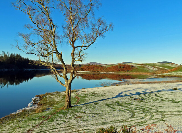
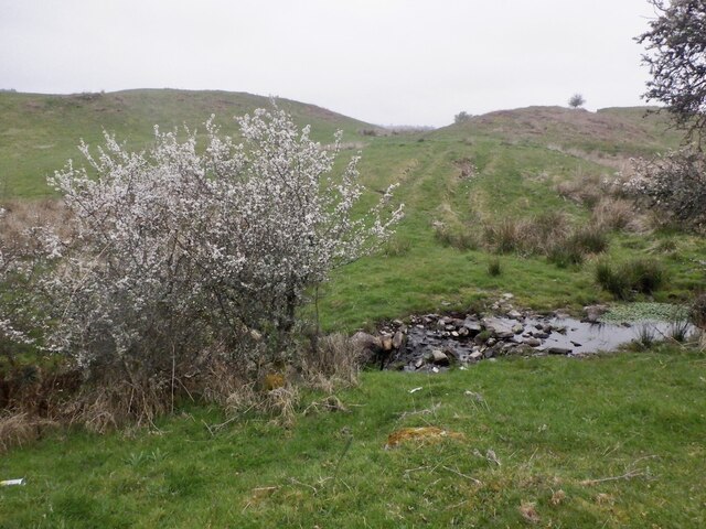
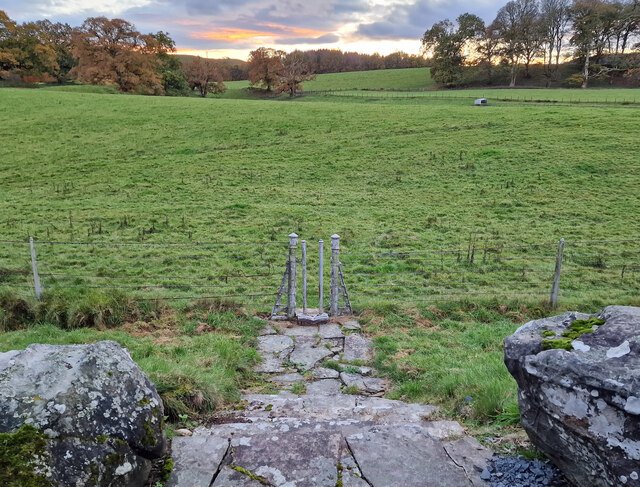
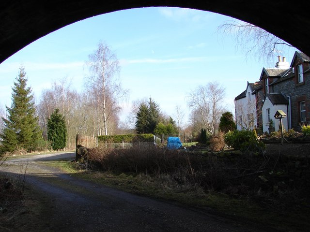
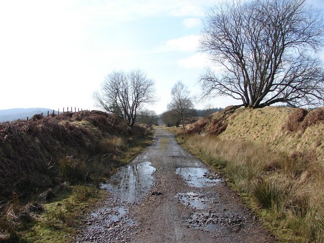
Strip Plantation is a woodland area located in the historical county of Kirkcudbrightshire, Dumfries and Galloway, Scotland. Spanning approximately 200 acres, the plantation is situated just south of the town of Castle Douglas.

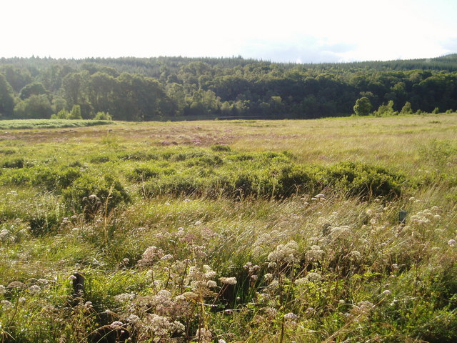
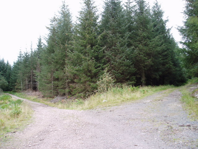
The woodland is comprised mainly of coniferous trees, with species such as Scots pine, Sitka spruce, and Douglas fir dominating the landscape. These trees are well-suited to the local climate and thrive in the area's moist and mild conditions.

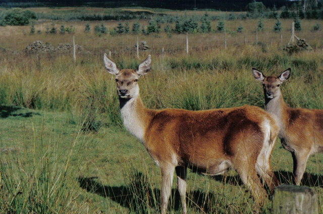
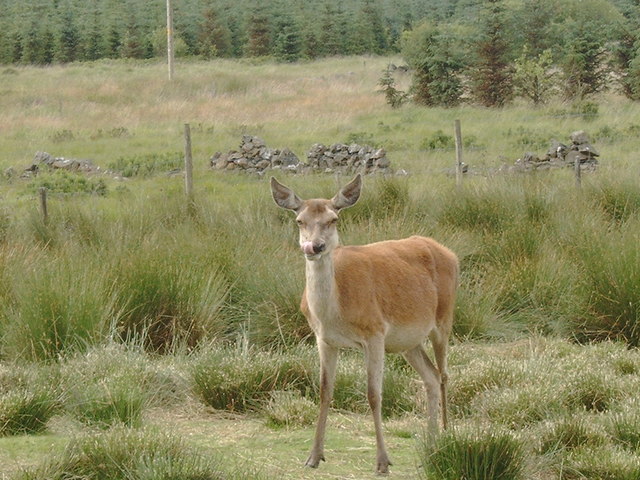
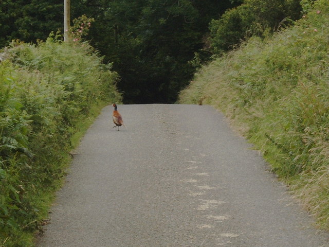
Strip Plantation is an important resource for the surrounding community, providing a range of ecosystem services. The woodland acts as a natural habitat for a variety of wildlife, including birds, mammals, and insects. The dense vegetation and tree cover provide protection and nesting sites for many species.

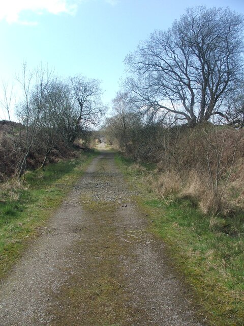
The plantation also serves as a recreational area, with several trails and paths winding through the forest. These paths are popular among walkers, joggers, and nature enthusiasts, offering opportunities to enjoy the tranquility of the woodland and observe its diverse flora and fauna.

In addition to its ecological and recreational value, Strip Plantation has economic importance as well. The timber harvested from the plantation is used for various purposes, including construction, furniture-making, and fuel.

Overall, Strip Plantation is an essential natural asset in Kirkcudbrightshire, contributing to the local biodiversity, providing recreational opportunities, and supporting the regional economy through sustainable timber production.

If you have any feedback on the listing, please let us know in the comments section below.

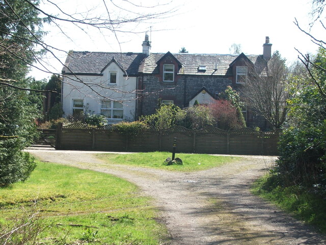
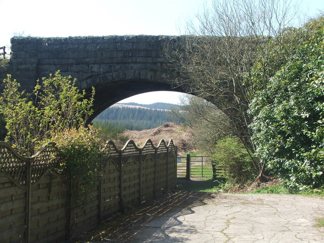
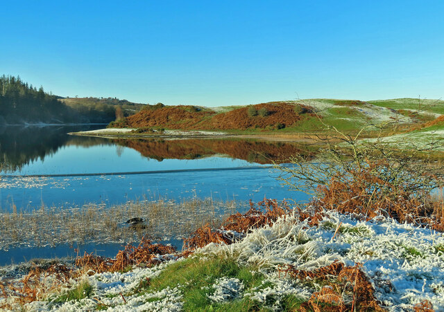
Strip Plantation Images

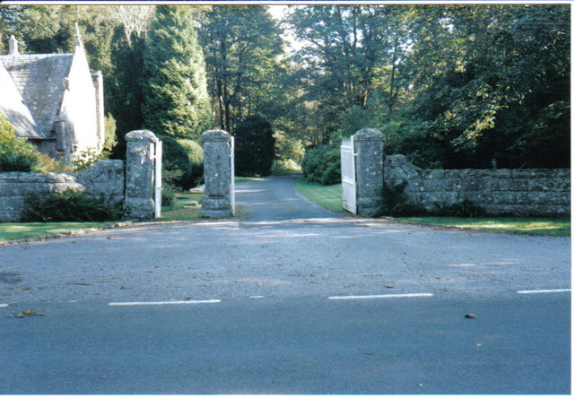
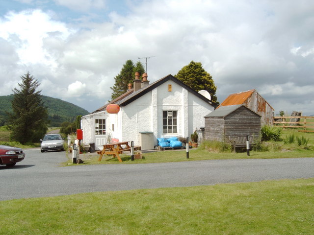
Images are sourced within 2km of 55.001911/-4.0845639 or Grid Reference NX6669. Thanks to Geograph Open Source API. All images are credited.

Old railway Some of this building at Mossdale by the disused railway line was New Galloway Station.  New Galloway is 5 miles to the north but because of the terrain the railway line could not always go through larger settlements.   There are 4 milestones along the road from New Galloway giving the distance to the station.
Old railway
Some of this building at Mossdale by the disused railway line was New Galloway Station. New Galloway is 5 miles to the north but because of the terrain the railway line could not always go through larger settlements. There are 4 milestones along the road from New Galloway giving the distance to the station.
Old railway This bridge carries the A762 over the disused railway line at Mossdale.   The railway between Castle Douglas and Port Patrick was built in 1863.
Old railway
This bridge carries the A762 over the disused railway line at Mossdale. The railway between Castle Douglas and Port Patrick was built in 1863.
Old railway Travelling generally westwards but following the contours, the next big town reached along this dismantled Castle Douglas to Port Patrick railway would be Newton Stewart.
Old railway
Travelling generally westwards but following the contours, the next big town reached along this dismantled Castle Douglas to Port Patrick railway would be Newton Stewart.
At Woodhall Loch Viewed on a frosty December day.
At Woodhall Loch
Viewed on a frosty December day.
Hensol Holidays at Woodhall Loch Hensol Estate provides low-cost access to this site for camping and fishing. It’s on a catch-and-release basis.
Hensol Holidays at Woodhall Loch
Hensol Estate provides low-cost access to this site for camping and fishing. It’s on a catch-and-release basis.
Burn by Woodhall Loch
Hensol House - Unusual Gate to Field This unusual gate, just to the south of Hensol House, is designed to let people into the field, but not let the livestock escape.
Hensol House - Unusual Gate to Field
This unusual gate, just to the south of Hensol House, is designed to let people into the field, but not let the livestock escape.
A group of kayakers paddling north on the Loch
Field with deer, Mossdale These deer were seen in a field at Mossdale, down a tiny lane to the right of the Post Office.
Field with deer, Mossdale
These deer were seen in a field at Mossdale, down a tiny lane to the right of the Post Office.
Gate entrance and gatehouse This is the main entrance to the Hensol estate.
Gate entrance and gatehouse
This is the main entrance to the Hensol estate.
Mossdale Post Office and Store
Oh Deer in a pen in Mossdale
Oh Deer
in a pen in Mossdale
Pheasant in the road at Airds of Kells
Mossdale Village Sign. Entering Mossdale from the north this sign is on the east verge.
Mossdale Village Sign.
Entering Mossdale from the north this sign is on the east verge.
The South End of Mossdale Loch. Looking from the A762 New Galloway-Kirkcudbright Road across marshy ground to the south end of Mossdale Loch just visible against the tree line.
The South End of Mossdale Loch.
Looking from the A762 New Galloway-Kirkcudbright Road across marshy ground to the south end of Mossdale Loch just visible against the tree line.
Track junctions in Rabbit Warren Forest, Mossdale
New Galloway Station View from under the road bridge of the former New Galloway Station (1861-1965), now a private residence. The trackbed of the 'Port Line' (Stranraer-Dumfries) and the down platform are now covered by gardens. Although actually situated at Mossdale and 5 miles S of the royal burgh it was always known as New Galloway Station.
New Galloway Station
View from under the road bridge of the former New Galloway Station (1861-1965), now a private residence. The trackbed of the 'Port Line' (Stranraer-Dumfries) and the down platform are now covered by gardens. Although actually situated at Mossdale and 5 miles S of the royal burgh it was always known as New Galloway Station.
Mossdale: 'Port Line' trackbed Looking westward along the track bed of the 'Port Line' (Dumfries-Stranraer) just west of the site of New Galloway Station (1861-1965).
Mossdale: 'Port Line' trackbed
Looking westward along the track bed of the 'Port Line' (Dumfries-Stranraer) just west of the site of New Galloway Station (1861-1965).
Show me another place!

Strip Plantation is located at Grid Ref: NX6669 (Lat: 55.001911, Lng: -4.0845639)

Unitary Authority: Dumfries and Galloway

Police Authority: Dumfries and Galloway

What 3 Words

///chuck.hidden.eclipses. Near Castle Douglas, Dumfries & Galloway

Related Wikis

New Galloway railway station

New Galloway railway station served the town of New Galloway in the historic county of Kirkcudbrightshire in the administrative area of Dumfries and Galloway...

Airds of Kells

Airds of Kells is a farm and small estate in the historical county of Kirkcudbrightshire in the parish of Kells, Dumfries and Galloway, Scotland. The...

Loch Ken

Loch Ken is a 9 miles (14 km) long freshwater loch in the historic county of Kirkcudbrightshire in Dumfries and Galloway, Scotland. It lies in the Glenkens...

Parton railway station (Portpatrick and Wigtownshire Joint Railway)

Parton railway station served the hamlet of Parton, in the historic county of Kirkcudbrightshire in the administrative area of Dumfries and Galloway, Scotland...

Nearby Amenities

Located within 500m of 55.001911,-4.0845639
Power: pole
Lat/Long: 54.9978762/-4.0850876
Power: pole
Lat/Long: 54.9982905/-4.0836366
Power: pole
Lat/Long: 54.9988986/-4.0829398
Power: pole
Lat/Long: 54.999475/-4.0822961
Power: pole
Lat/Long: 55.0000538/-4.0816226
Power: pole
Lat/Long: 55.0006326/-4.080964
Power: pole
Lat/Long: 55.0010725/-4.0801588
Power: pole
Lat/Long: 55.001516/-4.0793834
Power: pole
Lat/Long: 55.0018084/-4.0788587
Power: pole
Lat/Long: 55.0025834/-4.0784274
Power: pole
Lat/Long: 55.0032682/-4.0780493
The data included in this document is from www.openstreetmap.org. The data is made available under ODbL.

Have you been to Strip Plantation?

Leave your review of Strip Plantation below (or comments, questions and feedback).