Gaistone Plantation
Wood, Forest in Kirkcudbrightshire
Scotland
Gaistone Plantation
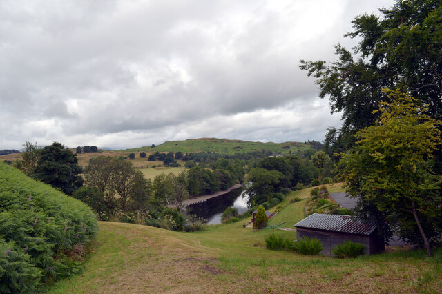
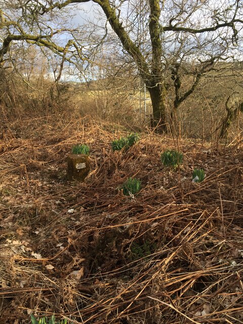
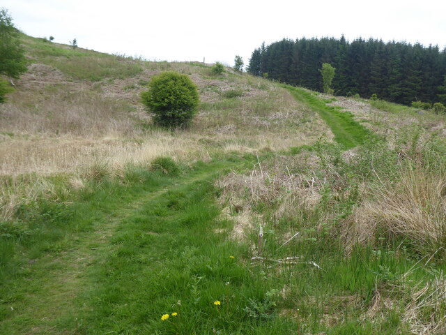
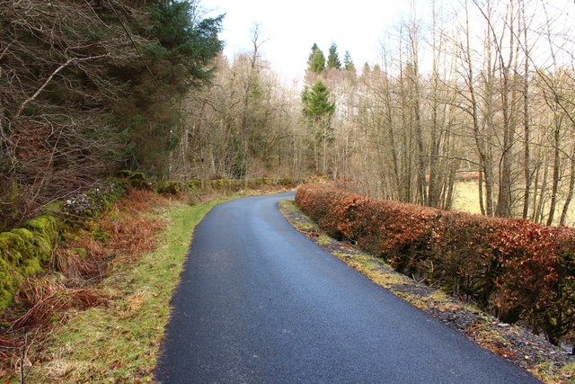
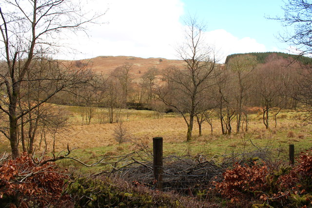
Gaistone Plantation is a sprawling woodland area located in Kirkcudbrightshire, Scotland. Covering an extensive area, this plantation is home to a variety of trees, making it a significant natural resource in the region. The plantation is predominantly composed of native species such as oak, beech, and Scots pine, creating a diverse and visually appealing landscape.
The woodland is an important habitat for numerous wildlife species, including red squirrels, deer, and a plethora of bird species. It offers a peaceful and serene environment for nature enthusiasts and photographers to explore and appreciate the beauty of the local flora and fauna.
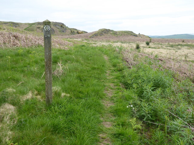
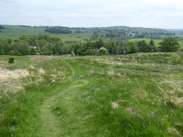
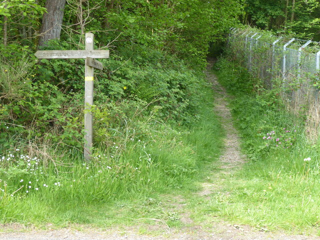
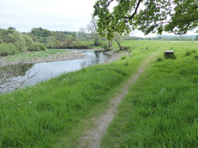
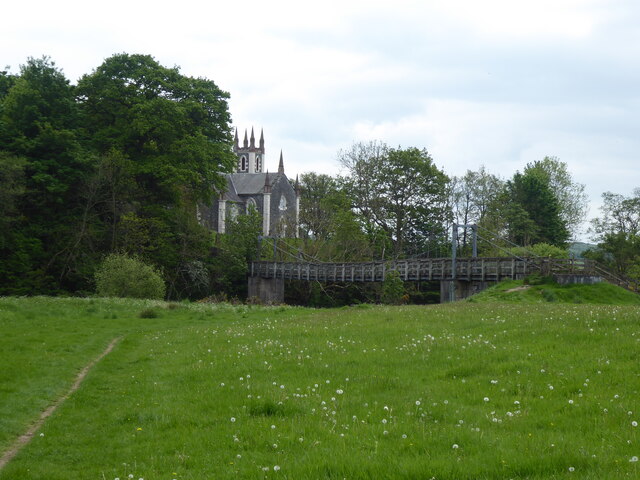
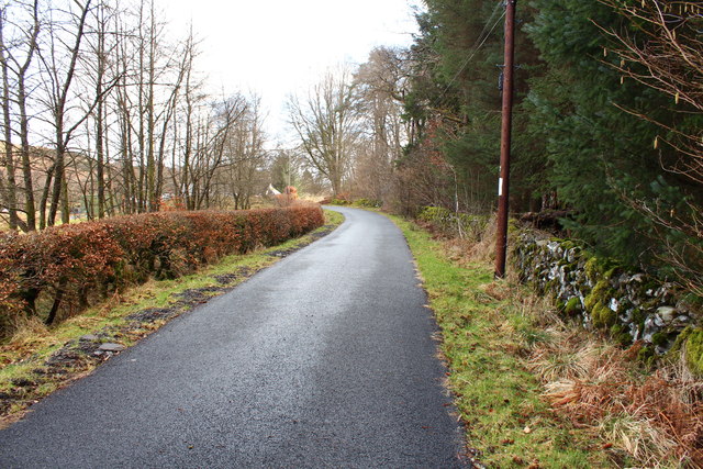
Gaistone Plantation boasts several walking trails and paths, allowing visitors to immerse themselves in the stunning surroundings. These paths wind through the woodland, providing opportunities for leisurely strolls, jogging, or picnicking in designated areas. The plantation is well-maintained, with clear signposts and information boards to guide visitors along the trails and educate them about the local ecosystem.
This plantation is not only a recreational space but also plays a crucial role in the local timber industry. Sustainable logging practices are employed to ensure the long-term viability of the woodland and to support the local economy.
Overall, Gaistone Plantation offers a harmonious blend of natural beauty, biodiversity, and economic significance. Whether one seeks tranquility, outdoor activities, or an opportunity to learn about the local ecosystem, this woodland is a must-visit destination in Kirkcudbrightshire.
If you have any feedback on the listing, please let us know in the comments section below.
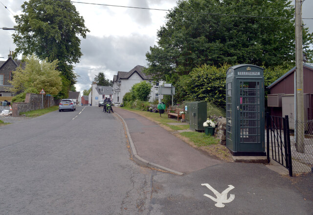
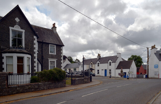
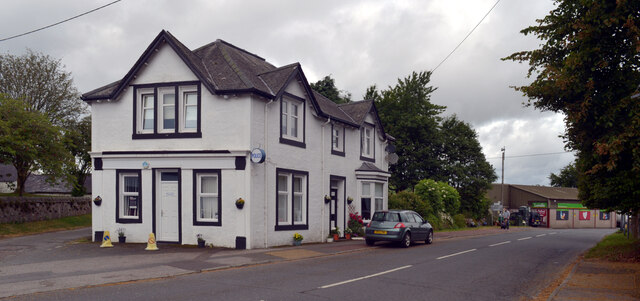
Gaistone Plantation Images
Images are sourced within 2km of 55.094056/-4.1825945 or Grid Reference NX6079. Thanks to Geograph Open Source API. All images are credited.
Gaistone Plantation is located at Grid Ref: NX6079 (Lat: 55.094056, Lng: -4.1825945)
Unitary Authority: Dumfries and Galloway
Police Authority: Dumfries and Galloway
What 3 Words
///minds.bakers.agency. Near Castle Douglas, Dumfries & Galloway
Nearby Locations
Related Wikis

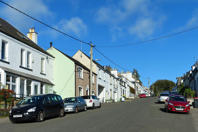
St John's Town of Dalry
St John's Town of Dalry (Scottish Gaelic: Clachan Eòin), usually referred to simply as Dalry (/dæl'raɪ/ / 'dal-RYE'), is a village in Dumfries and Galloway...

Kells, Dumfries and Galloway
Kells parish, in the Stewartry of Kirkcudbright in Scotland, is located 14 miles (NWbN) from Castle-Douglas, and 19 miles (NbW) from Kirkcudbright. It...

New Galloway Town Hall
The New Galloway Town Hall is a municipal building in Dumfries and Galloway, Scotland, situated on the town's high street. A tolbooth has existed on the...

Ken Bridge
The Ken Bridge is a road bridge about 0.8 kilometres (0.5 mi) north east of New Galloway in Dumfries and Galloway, Scotland, which carries the A712 road...

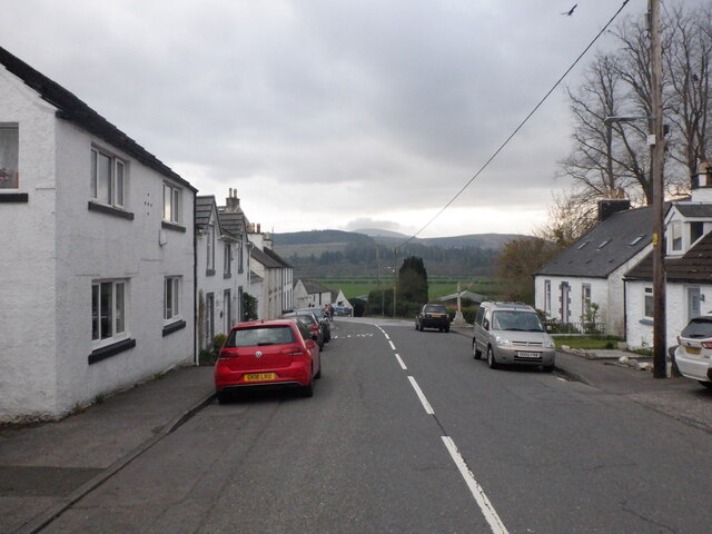
New Galloway
New Galloway (Scottish Gaelic: Gall-Ghàidhealaibh Nuadh) is a town in the historical county of Kirkcudbrightshire in Dumfries and Galloway. It lies on...

Water of Ken
The Water of Ken is a river in the historical county of Kirkcudbrightshire in Galloway, south-west Scotland. It rises on Blacklorg Hill, north-east of...

Earlstoun Castle
Earlstoun Castle, sometimes spelled Earlston Castle, is a derelict tower house near St John's Town of Dalry in Dumfries and Galloway, Scotland. Built in...

Kenmure Castle
Kenmure Castle is a fortified house or castle in The Glenkens, 1 mile (1.6 km) south of the town of New Galloway in Kirkcudbrightshire, Galloway, south...
Nearby Amenities
Located within 500m of 55.094056,-4.1825945Have you been to Gaistone Plantation?
Leave your review of Gaistone Plantation below (or comments, questions and feedback).