Coille Bhuidhe
Wood, Forest in Argyllshire
Scotland
Coille Bhuidhe
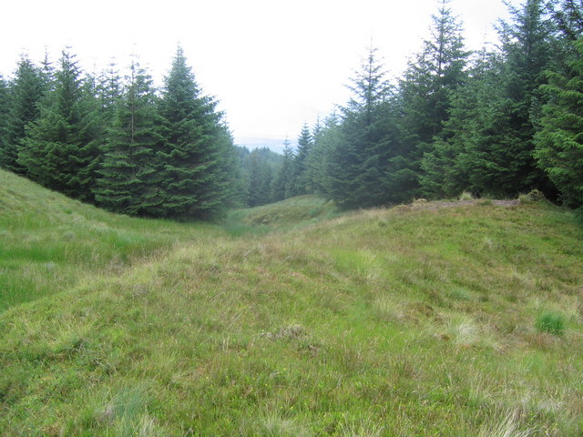
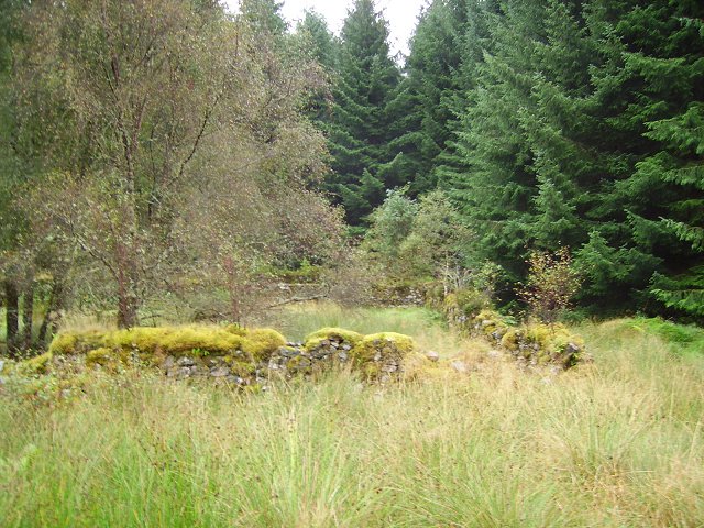
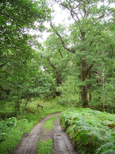
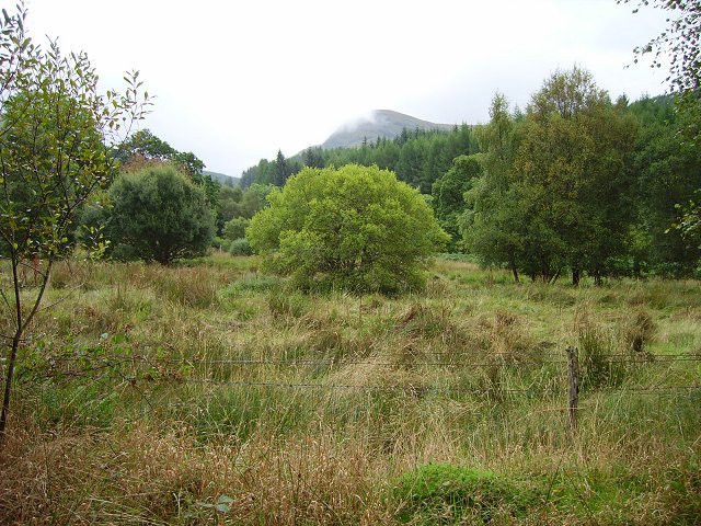
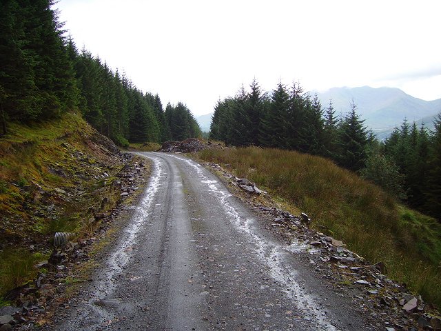
Coille Bhuidhe, located in Argyllshire, Scotland, is a picturesque and enchanting forest known for its natural beauty and diverse wildlife. Spanning over a vast area, it offers a serene and tranquil escape for nature lovers and outdoor enthusiasts.
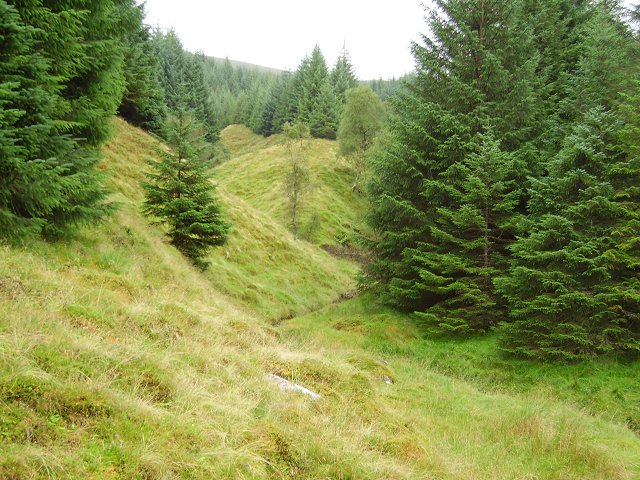
The forest is characterized by its dense canopy of ancient trees, predominantly oak, birch, and pine, which provide a lush and vibrant habitat for a wide range of flora and fauna. Walking through Coille Bhuidhe, visitors can witness a rich variety of plant species, including ferns, mosses, and wildflowers, creating a kaleidoscope of colors and textures.
The forest is also home to numerous animal species, making it an important wildlife sanctuary. Red deer, roe deer, and wild boar are commonly spotted in the area, along with a plethora of bird species such as buzzards, owls, and woodpeckers. Lucky visitors may even catch a glimpse of the elusive Scottish wildcat or pine marten.
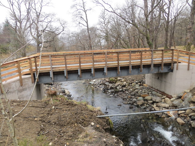
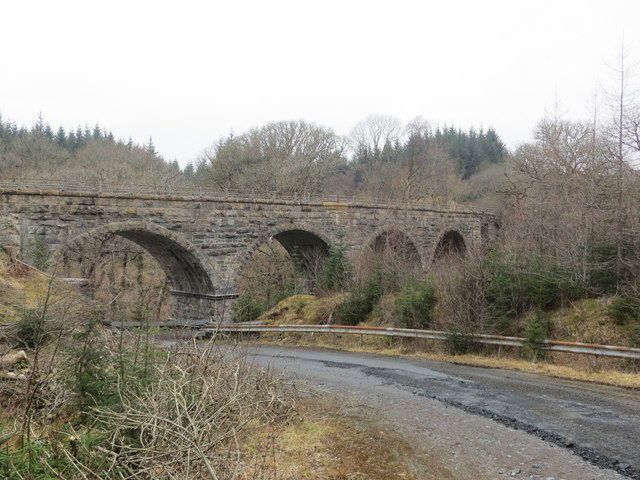
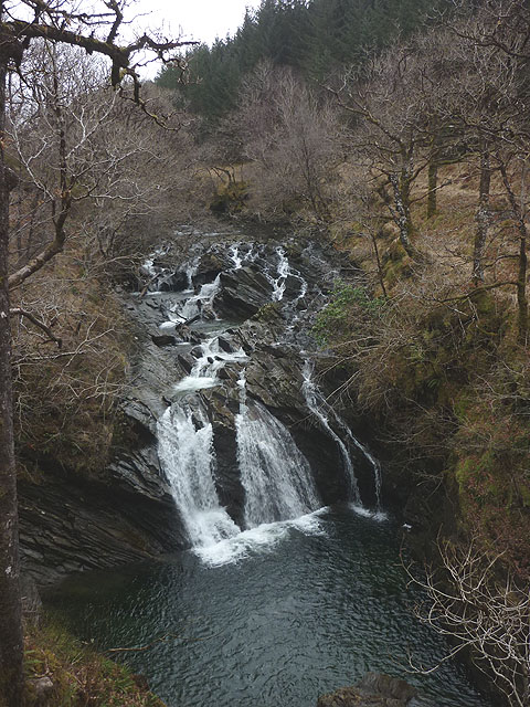
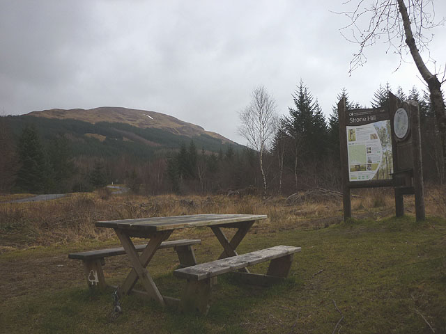
Coille Bhuidhe offers a network of well-maintained trails, suitable for both leisurely walks and more challenging hikes. These paths wind through the forest, leading to breathtaking viewpoints, cascading waterfalls, and serene lochs. The tranquil atmosphere and stunning scenery make it an ideal location for photography, picnicking, and simply immersing oneself in nature.
To ensure the preservation of this natural treasure, Coille Bhuidhe is protected and managed by local authorities. Educational programs and guided tours are available to visitors, providing valuable insights into the forest's ecology and the importance of conservation.
Coille Bhuidhe, with its captivating landscapes and abundant wildlife, offers a truly unforgettable experience for those seeking a connection with the natural world.
If you have any feedback on the listing, please let us know in the comments section below.
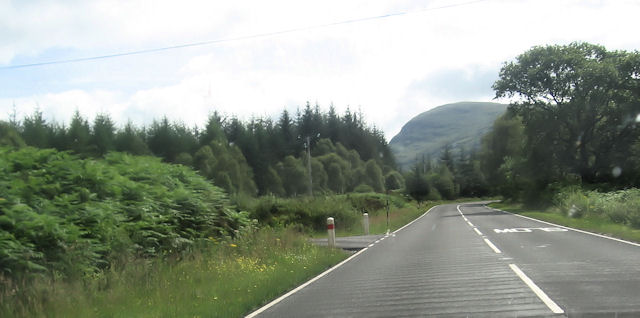
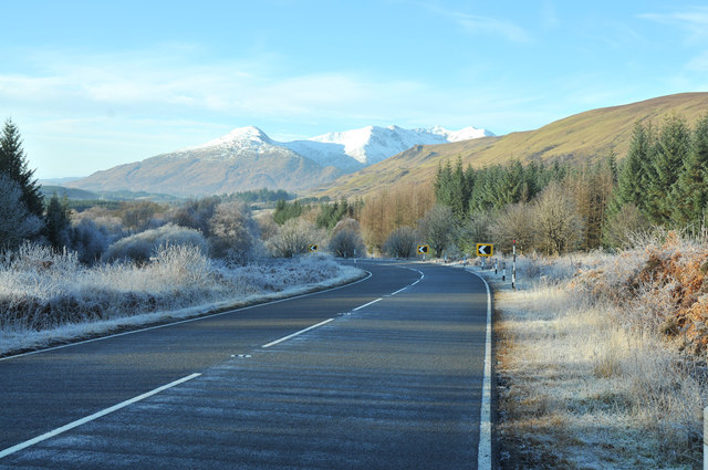
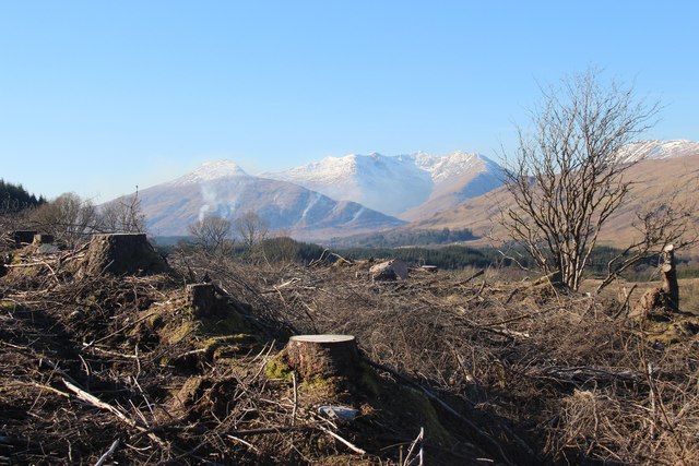
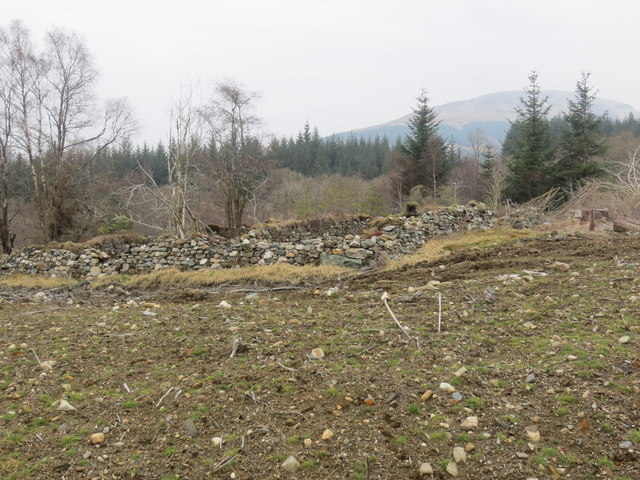
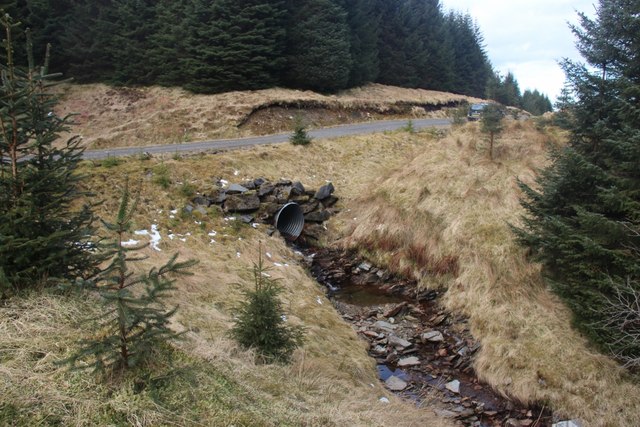
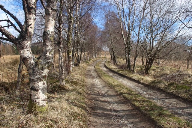
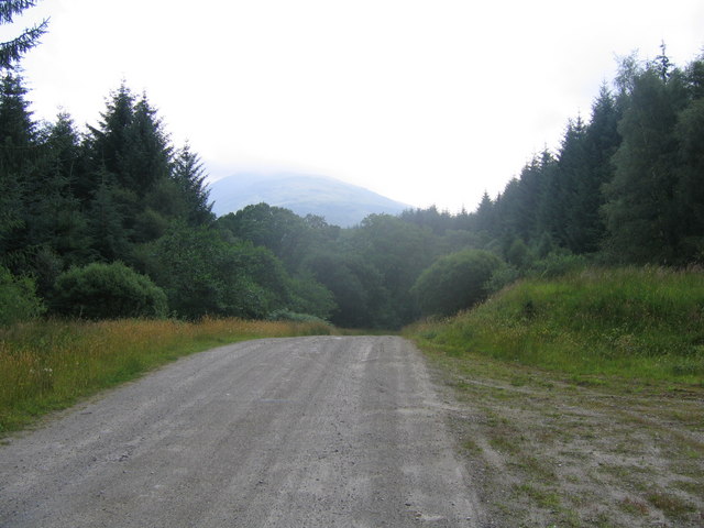
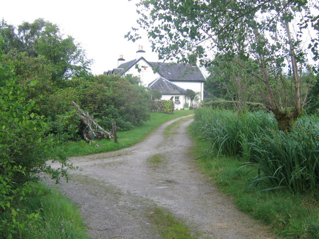
Coille Bhuidhe Images
Images are sourced within 2km of 56.39296/-4.9294426 or Grid Reference NN1926. Thanks to Geograph Open Source API. All images are credited.
Coille Bhuidhe is located at Grid Ref: NN1926 (Lat: 56.39296, Lng: -4.9294426)
Unitary Authority: Argyll and Bute
Police Authority: Argyll and West Dunbartonshire
What 3 Words
///emailed.durations.hems. Near Tyndrum, Stirling
Nearby Locations
Related Wikis

River Lochy (Glen Lochy)
The River Lochy flows west through Glen Lochy from Loch Bhe to the River Orchy and hence Lochawe in the West Highlands of Scotland. The A85 road parallels...

Craig Lodge Community
Craig Lodge Community is a lay community of the Roman Catholic Church based in Dalmally, Argyll in the west Highlands of Scotland. == History == Craig...

River Orchy
The River Orchy (Scottish Gaelic: Urchaidh / Abhainn Urchaidh) is a river that passes through the village of Dalmally, Argyll in the West Highlands of...
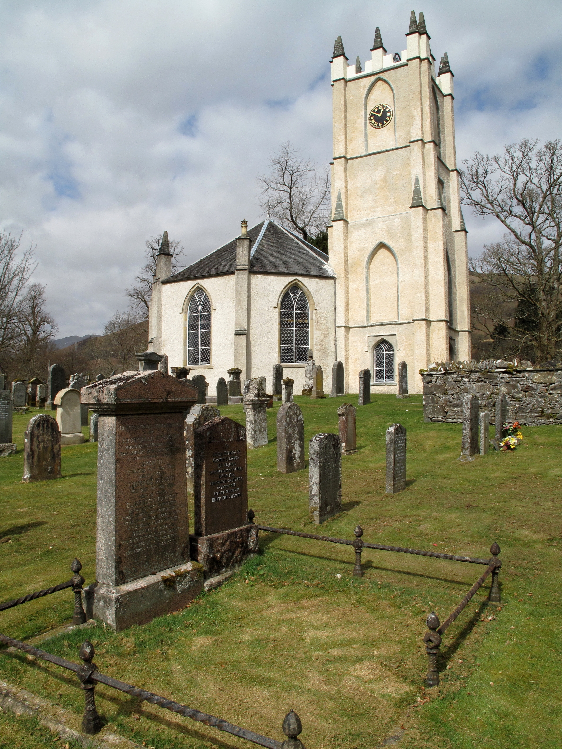
Glenorchy Parish Church
Glenorchy Parish Church is a congregation of the Church of Scotland in the village of Dalmally, Argyll and Bute, Scotland. It is the parish church of the...
Nearby Amenities
Located within 500m of 56.39296,-4.9294426Have you been to Coille Bhuidhe?
Leave your review of Coille Bhuidhe below (or comments, questions and feedback).