Highfall Wood

Wood, Forest in Wigtownshire

Scotland

Highfall Wood

A Second World War gun battery emplacement overlooking Loch Ryan. This gun battery emplacement is situated at near Little Laight Farm, Cairnryan. There were many military camps, gun emplacements and connections to this area during the war and after.
A Second World War gun battery emplacement overlooking Loch Ryan. Credit: Colin McDonald

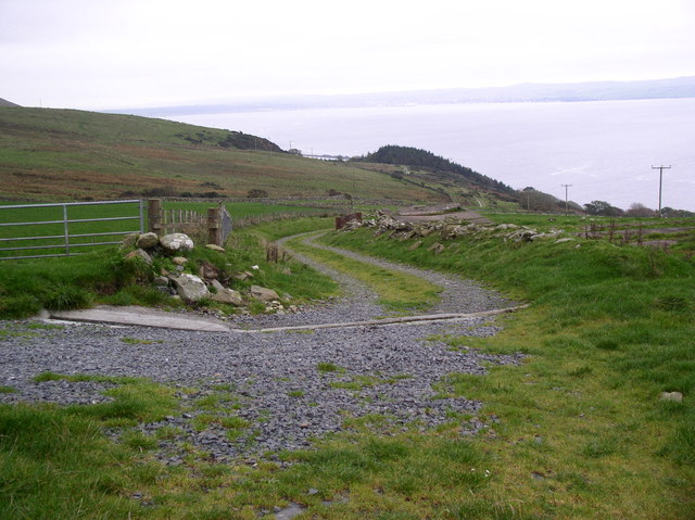
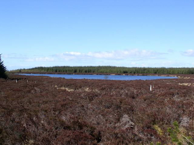
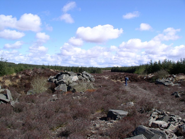
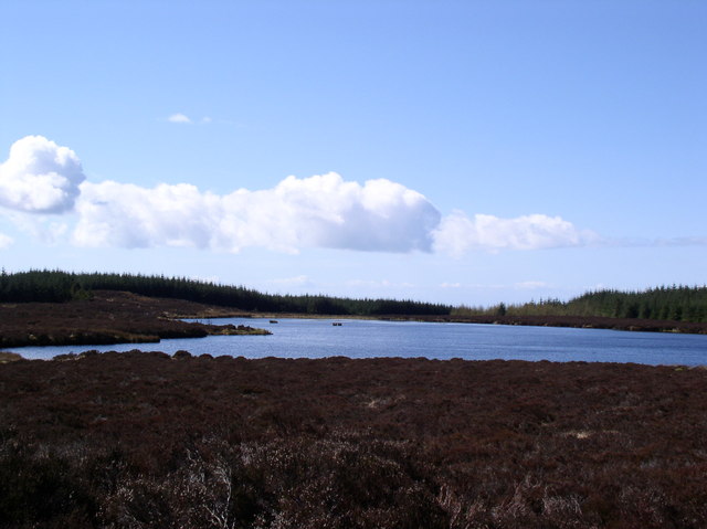
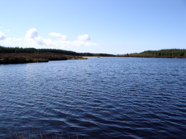
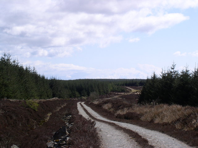
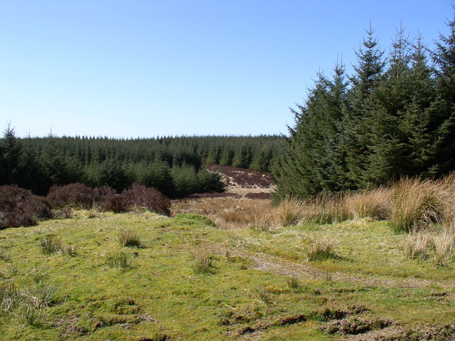
Highfall Wood is a captivating forest located in the picturesque region of Wigtownshire, Scotland. Covering an area of approximately 100 hectares, this woodland is renowned for its natural beauty, diverse wildlife, and rich historical significance.

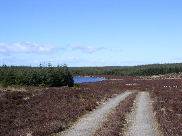
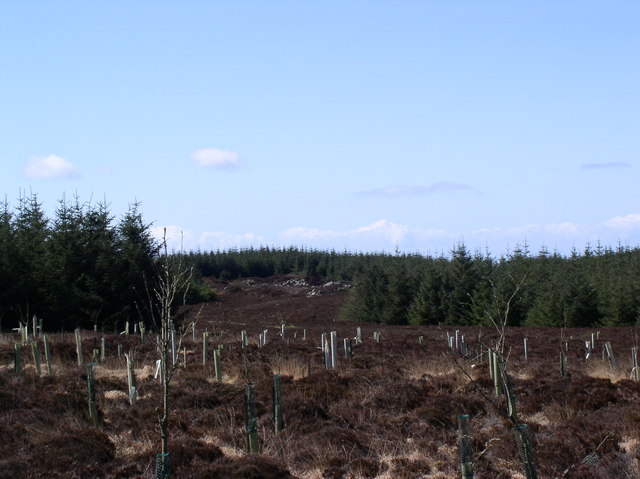
The wood boasts a wide variety of tree species, including majestic oaks, towering Scots pines, and vibrant beech trees. The dense canopy provides a haven for numerous bird species, such as the elusive red squirrel, tawny owl, and great spotted woodpecker. The forest floor is adorned with a carpet of bluebells, wild garlic, and ferns, creating a serene and enchanting atmosphere.

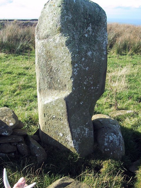
Highfall Wood holds historical importance, with evidence of human activity dating back to ancient times. Archeological remains suggest that the area was inhabited during the Iron Age, and remnants of old stone structures can still be found within the woodland. Moreover, the wood played a significant role during the medieval era, supplying timber for the construction of nearby castles and buildings.

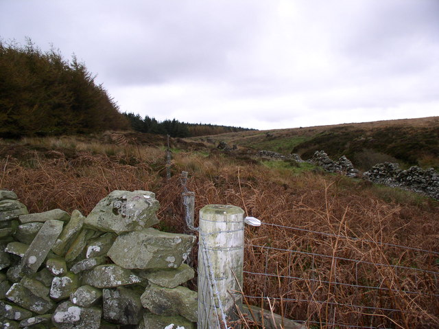
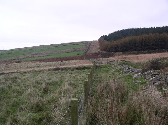
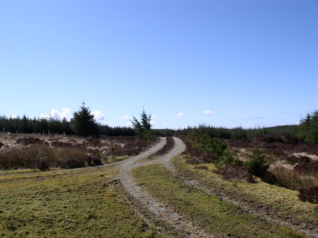
The wood offers visitors a range of recreational opportunities, including walking trails and nature reserves. These trails meander through the forest, providing breathtaking views and an opportunity to immerse oneself in nature's wonders. The wood is also home to a visitor center, where visitors can learn about the history, flora, and fauna of the area.

With its natural beauty, diverse wildlife, and historical significance, Highfall Wood is a must-visit destination for nature enthusiasts, history buffs, and those seeking tranquility amidst the stunning Scottish landscape.

If you have any feedback on the listing, please let us know in the comments section below.

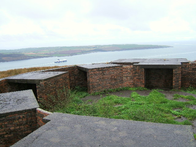
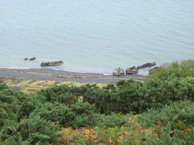
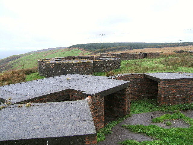
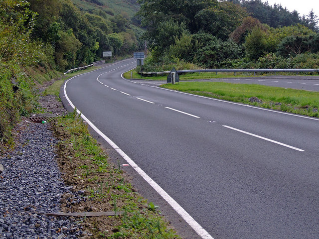
Highfall Wood Images

Images are sourced within 2km of 54.990274/-5.0116376 or Grid Reference NX0770. Thanks to Geograph Open Source API. All images are credited.

A Second World War gun battery emplacement overlooking Loch Ryan. This gun battery emplacement is situated at near Little Laight Farm, Cairnryan. There were many military camps, gun emplacements and connections to this area during the war and after.
A Second World War gun battery emplacement overlooking Loch Ryan.
This gun battery emplacement is situated at near Little Laight Farm, Cairnryan. There were many military camps, gun emplacements and connections to this area during the war and after.
Concrete barges on the shores of Lochryan, North of Cairnryan village. These barges are remnants from the Second World War and were used in practice and preparations for the Normandy Landings. The featured in a recent BBC series about Scotland's Secret War.
Concrete barges on the shores of Lochryan, North of Cairnryan village.
These barges are remnants from the Second World War and were used in practice and preparations for the Normandy Landings. The featured in a recent BBC series about Scotland's Secret War.
A Second World War gun battery emplacement overlooking Loch Ryan. Another view of the Second World War gun battery overlooking the entrance to Loch Ryan and the Irish Sea beyond.
A Second World War gun battery emplacement overlooking Loch Ryan.
Another view of the Second World War gun battery overlooking the entrance to Loch Ryan and the Irish Sea beyond.
Road to Stranraer (A77 South) Picture shows the "Welcome to Dumfries & Galloway" sign on the southbound side of the A77 approx 8 miles north of Stranraer, just in front of this sign is the bridge over the Galloway Burn, and on the left a drive in layby.
Road to Stranraer (A77 South)
Picture shows the "Welcome to Dumfries & Galloway" sign on the southbound side of the A77 approx 8 miles north of Stranraer, just in front of this sign is the bridge over the Galloway Burn, and on the left a drive in layby.
Taxing Stone, Little Laight Hill The Taxing Stone, is according to <span class="nowrap"><a title="www.cast.org.uk" rel="nofollow ugc noopener" href="http://www.cast.org.uk">Link</a><img style="margin-left:2px;" alt="External link" title="External link - shift click to open in new window" src="https://s1.geograph.org.uk/img/external.png" width="10" height="10"/></span> believed to be a Toll point and standing stone which marks the burial-place of Alpin, King of Dalriada, killed in 741 in Glenapp.
Taxing Stone, Little Laight Hill
The Taxing Stone, is according to LinkExternal link believed to be a Toll point and standing stone which marks the burial-place of Alpin, King of Dalriada, killed in 741 in Glenapp.
Laight Moor Galloway Boundary fence between south ayrshire and D&G
Laight Moor
Galloway Boundary fence between south ayrshire and D&G
Boundary Fence Ayrshire forest from Dumfries & Galloway
Boundary Fence
Ayrshire forest from Dumfries & Galloway
Little Laight House Next to the disused gun battery.
Little Laight House
Next to the disused gun battery.
Path to Cairnryan Track from Little Laight house down to cairnryan.
Path to Cairnryan
Track from Little Laight house down to cairnryan.
Lake Superior Start of lake Superior from forest track.
Lake Superior
Start of lake Superior from forest track.
Forest Quarry View across newly planted trees to old disused quarry.
Forest Quarry
View across newly planted trees to old disused quarry.
Quarry Road Road junction heading for quarry, road to the right is towards Lake Superior.
Quarry Road
Road junction heading for quarry, road to the right is towards Lake Superior.
Lake Superior Lake Superior from the quarry road.
Lake Superior
Lake Superior from the quarry road.
Old Quarry
Old Quarry
Lake Superior View down the lake from the forest track.
Lake Superior
View down the lake from the forest track.
Lake Superior Close up view of the lake, has the same spelling as its American cousin but smaller is beautiful.
Lake Superior
Close up view of the lake, has the same spelling as its American cousin but smaller is beautiful.
Quarry Junction Forest track looking back at road junction, lake is just past the trees on the right.
Quarry Junction
Forest track looking back at road junction, lake is just past the trees on the right.
Forest Firebreak Firebreak on Milldown hill.
Forest Firebreak
Firebreak on Milldown hill.
Show me another place!

Highfall Wood is located at Grid Ref: NX0770 (Lat: 54.990274, Lng: -5.0116376)

Unitary Authority: Dumfries and Galloway

Police Authority: Dumfries and Galloway

What 3 Words

///unhelpful.baker.given. Near Cairnryan, Dumfries & Galloway

Nearby Locations

Highfall Wood

Related Wikis

Cairnryan Harbour

Cairnryan Harbour is a roll-on ferry terminal on Loch Ryan in south west Scotland north of Stranraer. In World War II it was developed as an emergency...

Loch Ryan

Loch Ryan (Scottish Gaelic: Loch Rìoghaine, pronounced [l̪ˠɔx ˈrˠiː.ɛɲə]) is a Scottish sea loch that acts as an important natural harbour for shipping...

Cairnryan

Cairnryan (Scots: The Cairn; Scottish Gaelic: Càrn Rìoghain or Machair an Sgithich) is a village in the historical county of Wigtownshire, Dumfries and...

RAF Wig Bay

Royal Air Force Wig Bay, or more simply RAF Wig Bay, is a former Royal Air Force station near Stranraer, Dumfries and Galloway, Scotland The following...

Have you been to Highfall Wood?

Leave your review of Highfall Wood below (or comments, questions and feedback).