Achamor Wood

Wood, Forest in Buteshire

Scotland

Achamor Wood

Loch Greenan, Isle of Bute
Loch Greenan, Isle of Bute Credit: John Ferguson

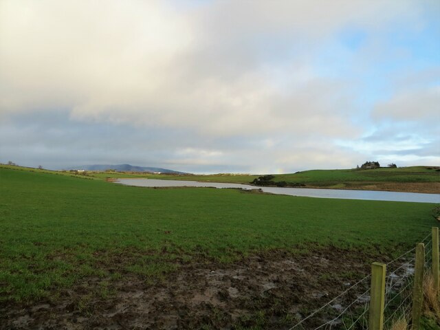
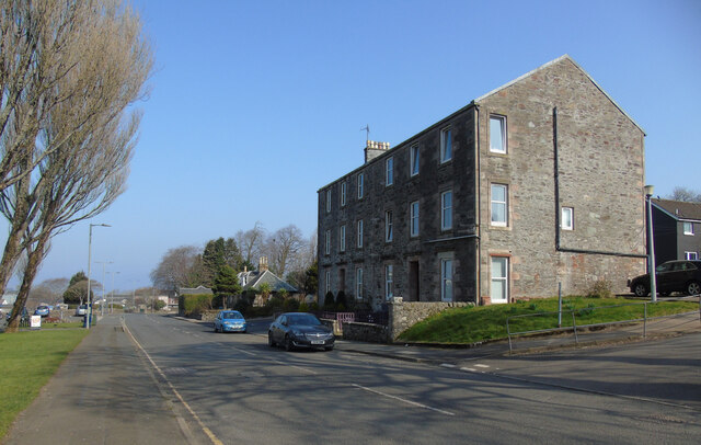
Achamor Wood, located in Buteshire, is a picturesque forest renowned for its rich biodiversity and tranquil ambiance. Spanning over a vast area, the wood is nestled amidst the stunning landscape of rolling hills and lush green meadows. The wood is easily accessible, situated just a few miles away from the bustling town of Rothesay.

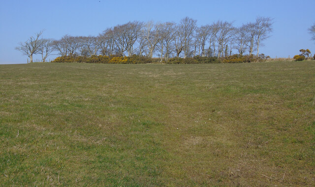
Achamor Wood boasts a diverse ecosystem, housing a wide variety of flora and fauna. The forest is primarily composed of native tree species such as oak, birch, and beech, creating a dense canopy that provides shade and shelter for numerous wildlife species. The forest floor is adorned with a vibrant carpet of wildflowers and ferns, adding to the natural beauty of the surroundings.

The wood is a haven for birdwatchers and nature enthusiasts, offering a haven for an array of avian species. Visitors may spot woodpeckers, owls, and various songbirds, as well as elusive mammals like red squirrels and deer. The tranquil atmosphere of Achamor Wood provides an ideal setting for hiking, walking, or simply immersing oneself in the serenity of nature.

Nature trails wind their way through the forest, allowing visitors to explore its hidden gems. These trails offer an opportunity to observe the diverse plant and animal life while enjoying the calming sounds of nature. The wood is also home to a small stream that meanders through its heart, adding to the overall charm and providing a serene backdrop for picnics or quiet reflection.

With its breathtaking scenery, abundant wildlife, and peaceful ambiance, Achamor Wood is a true gem within Buteshire. Whether one seeks solitude, natural beauty, or an escape from the hustle and bustle of everyday life, this enchanting forest promises an unforgettable experience for all who visit.

If you have any feedback on the listing, please let us know in the comments section below.
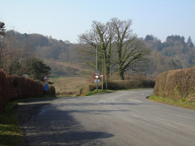
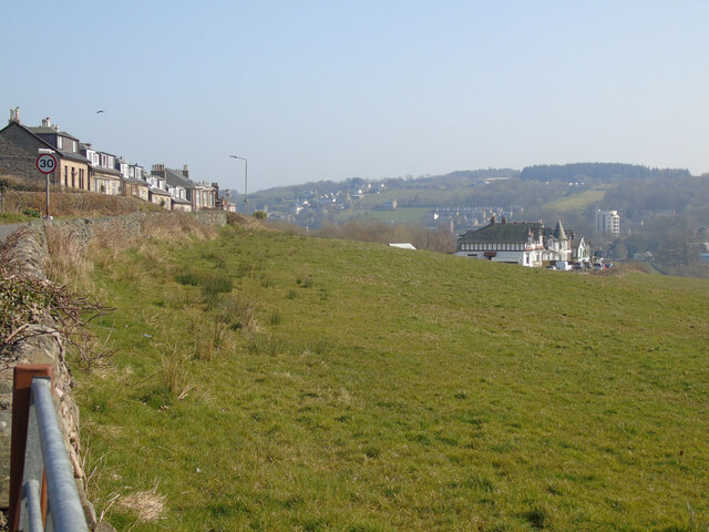
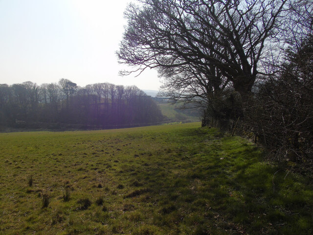
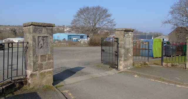
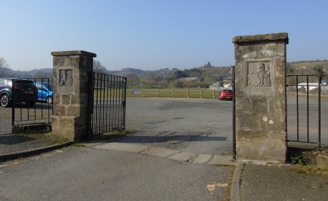
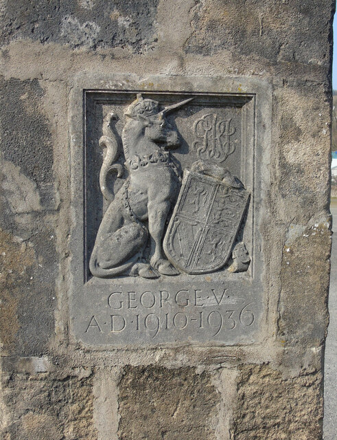
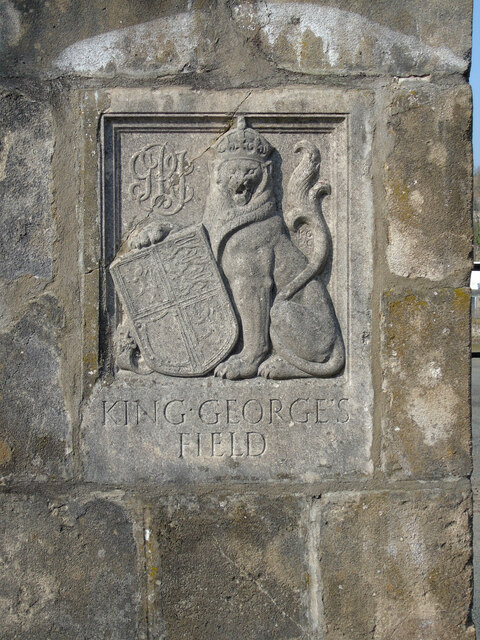
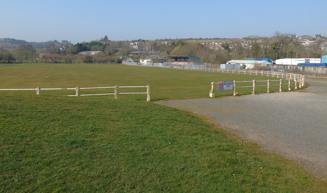
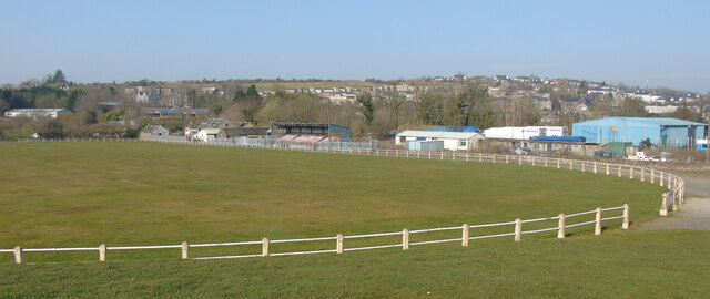
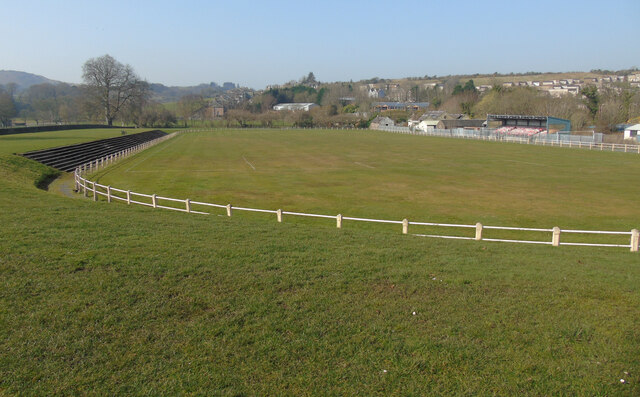
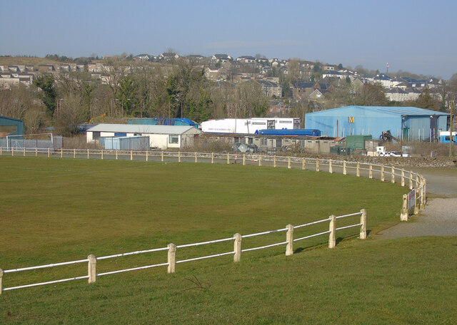
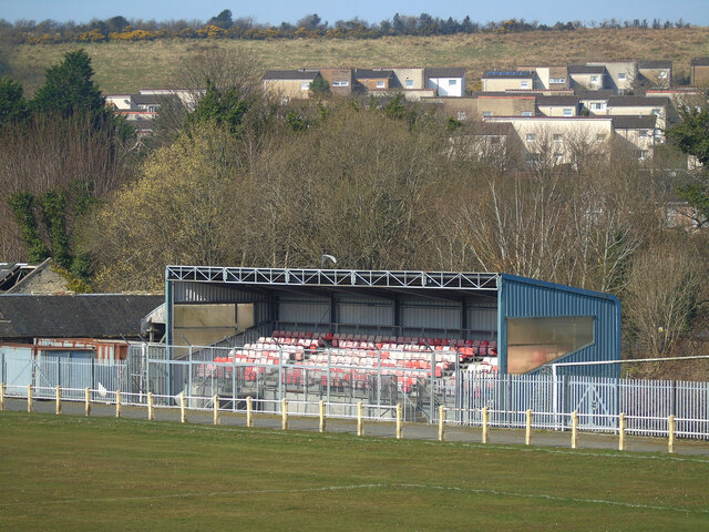
Achamor Wood Images

Images are sourced within 2km of 55.822507/-5.0760337 or Grid Reference NS0763. Thanks to Geograph Open Source API. All images are credited.

Loch Greenan, Isle of Bute
High Street, Rothesay Looking along the B881 High Street towards the town centre at the health centre.
High Street, Rothesay
Looking along the B881 High Street towards the town centre at the health centre.
Rothesay Leisure Centre On High Street on the outskirts of town.
Rothesay Leisure Centre
On High Street on the outskirts of town.
Field off Barone Road On the outskirts of Rothesay.
Field off Barone Road
On the outskirts of Rothesay.
The B878 Barone Road The junction at Barone Cottage.
The B878 Barone Road
The junction at Barone Cottage.
Field off Barone Road The houses on the left are on Barone Road.
Field off Barone Road
The houses on the left are on Barone Road.
Field off Barone Road Barone Cottage is out of sight immediately to the right.
Field off Barone Road
Barone Cottage is out of sight immediately to the right.
King George V Playing Fields gates, Rothesay At the entrance to the park on High Street.
King George V Playing Fields gates, Rothesay
At the entrance to the park on High Street.
King George V Playing Fields gates, Rothesay At the entrance to the park on High Street.
King George V Playing Fields gates, Rothesay
At the entrance to the park on High Street.
King George V Playing Fields gates, Rothesay The unicorn on the left side gate post.
King George V Playing Fields gates, Rothesay
The unicorn on the left side gate post.
King George V Playing Fields gates, Rothesay The lion on the right side gate post.
King George V Playing Fields gates, Rothesay
The lion on the right side gate post.
King George's Field, Rothesay An old style fenced grass football pitch with small grandstand and terracing.
King George's Field, Rothesay
An old style fenced grass football pitch with small grandstand and terracing.
King George's Field, Rothesay An old style fenced grass football pitch with small grandstand and terracing.
King George's Field, Rothesay
An old style fenced grass football pitch with small grandstand and terracing.
King George's Field, Rothesay An old style fenced grass football pitch with small grandstand and terracing.
King George's Field, Rothesay
An old style fenced grass football pitch with small grandstand and terracing.
King George's Field, Rothesay An old style fenced grass football pitch with small grandstand and terracing.
King George's Field, Rothesay
An old style fenced grass football pitch with small grandstand and terracing.
King George's Field, Rothesay An old style fenced grass football pitch with small grandstand and terracing.
King George's Field, Rothesay
An old style fenced grass football pitch with small grandstand and terracing.
High Street at Union Street High Street on the left. See the George VII pillar box <a href="https://www.geograph.org.uk/photo/7136519">NS0864 : Edward VII pillar box, Rothesay</a>.
High Street at Union Street
High Street on the left. See the George VII pillar box NS0864 : Edward VII pillar box, Rothesay.
Edward VII pillar box, Rothesay At the corner of High Street and Union Street <a href="https://www.geograph.org.uk/photo/7136518">NS0864 : High Street at Union Street</a>.
Edward VII pillar box, Rothesay
At the corner of High Street and Union Street NS0864 : High Street at Union Street.
Show me another place!

Achamor Wood is located at Grid Ref: NS0763 (Lat: 55.822507, Lng: -5.0760337)

Unitary Authority: Argyll and Bute

Police Authority: Argyll and West Dunbartonshire

What 3 Words

///typified.genius.snooping. Near Rothesay, Argyll & Bute

Related Wikis

Kirk Dam

Kirk Dam is an impounding dam, located 1.5 kilometres south of Rothesay, and is separated by a causeway from the much larger Loch Fad to the south-west...

Rothesay Academy

Rothesay Academy is a secondary school in the town of Rothesay on the Isle of Bute. == Feeder schools == Rothesay Academy has 3 associated primary schools...

West Island Way

The West Island Way is a waymarked long distance footpath on the Isle of Bute. The route opened in September 2000 as part of Bute's millennium celebrations...

Victoria Hospital, Rothesay

Victoria Hospital is a health facility in High Street, Rothesay, Scotland. It is managed by NHS Highland. == History == The facility has its origins in...

Dhu Loch

Dhu Loch (also known as "Loch Dhu") is an impounding reservoir, located 1 kilometre directly west of the much larger Loch Fad and 5 kilometres south west...

Loch Fad

Loch Fad is a freshwater loch on the Isle of Bute in Scotland. Its name means "long loch" in Scottish Gaelic. It lies on the Highland Boundary Fault. Its...

Loch Ascog

Loch Ascog is a small reservoir on the east coast of the island of Bute, in the council area of Argyll and Bute, Scotland. The loch supplies water to the...

Rothesay

Rothesay ( ROTH-see; Scottish Gaelic: Baile Bhòid [ˈpalə ˈvɔːtʲ]) is the principal town on the Isle of Bute, in the council area of Argyll and Bute, Scotland...

Nearby Amenities

Located within 500m of 55.822507,-5.0760337
Barone Hill
Ele: 162
Natural: peak
Lat/Long: 55.8219652/-5.0829345
Power: pole
Lat/Long: 55.8261729/-5.0717632
Power: pole
Lat/Long: 55.8250943/-5.0744875
Power: pole
Lat/Long: 55.8256487/-5.0740574
Fixme: where does it connect?
Power: pole
Lat/Long: 55.8262941/-5.0731559
Power: pole
Lat/Long: 55.824797/-5.0743896
Power: pole
Lat/Long: 55.8243083/-5.074408
Power: pole
Lat/Long: 55.8246415/-5.0690985
Power: pole
Lat/Long: 55.8264229/-5.0747013
Power: pole
Lat/Long: 55.8183834/-5.0783972
Power: pole
Lat/Long: 55.8198384/-5.0772266
Power: pole
Lat/Long: 55.8205612/-5.0767832
Power: pole
Lat/Long: 55.822149/-5.0757581
Power: pole
Lat/Long: 55.8264638/-5.0737409
Power: pole
Lat/Long: 55.8247584/-5.0730746
Power: pole
Lat/Long: 55.8247181/-5.0717034
Power: pole
Lat/Long: 55.8246796/-5.0703963
Power: pole
Lat/Long: 55.8243291/-5.0699793
Power: pole
Lat/Long: 55.8257537/-5.0745936
Power: pole
Lat/Long: 55.8265391/-5.0757085
Power: pole
Lat/Long: 55.8266799/-5.0769296
Power: pole
Lat/Long: 55.8268179/-5.078126
Power: pole
Lat/Long: 55.8190929/-5.0778264
Power: pole
Lat/Long: 55.8237908/-5.074727
Power: pole
Lat/Long: 55.822934/-5.0752894
Power: pole
Lat/Long: 55.8213648/-5.0762283
The data included in this document is from www.openstreetmap.org. The data is made available under ODbL.

Have you been to Achamor Wood?

Leave your review of Achamor Wood below (or comments, questions and feedback).