Monadh Cuil-heanna
Wood, Forest in Inverness-shire
Scotland
Monadh Cuil-heanna
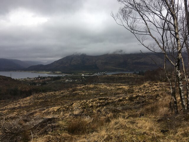
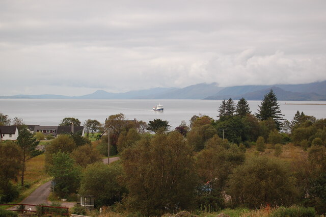
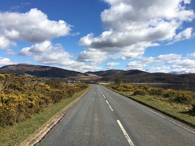
Monadh Cuil-heanna, located in Inverness-shire, Scotland, is a picturesque wood or forest area known for its natural beauty and rich biodiversity. Covering an area of approximately 50 square kilometers, it is a popular destination for nature enthusiasts and hikers.
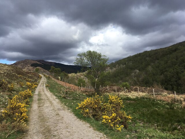
The landscape of Monadh Cuil-heanna is characterized by rolling hills, dense woodlands, and meandering streams. The wood is predominantly made up of native trees such as Scots pine, birch, and oak, creating a diverse and vibrant ecosystem. The forest floor is adorned with an array of colorful wildflowers, adding to the area's charm.
The forest is home to a variety of wildlife species, including red deer, roe deer, and mountain hares. Birdwatchers can spot a wide range of avian species, including golden eagles, ospreys, and capercaillie. Monadh Cuil-heanna is also known for its population of red squirrels, making it a haven for wildlife enthusiasts.
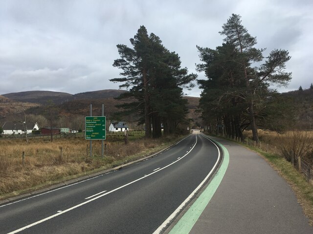
For outdoor enthusiasts, the forest offers numerous trails and paths, allowing visitors to explore its beauty on foot or by bike. There are also designated camping spots for those wishing to spend the night under the stars. The forest is well-maintained, with clear signage and information boards highlighting the unique features and history of the area.
Monadh Cuil-heanna is a place where nature thrives, providing a peaceful and enchanting experience for all who visit. Whether it's the serene woodlands, diverse wildlife, or the chance to connect with nature, this forest in Inverness-shire is a true gem waiting to be explored.
If you have any feedback on the listing, please let us know in the comments section below.
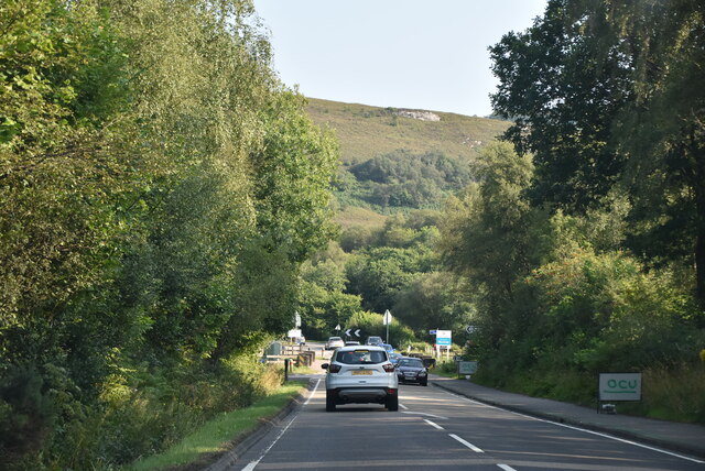
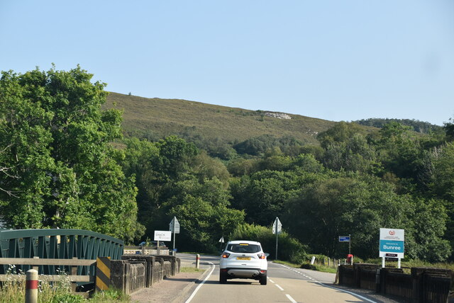
Monadh Cuil-heanna Images
Images are sourced within 2km of 56.705036/-5.2394154 or Grid Reference NN0161. Thanks to Geograph Open Source API. All images are credited.
Monadh Cuil-heanna is located at Grid Ref: NN0161 (Lat: 56.705036, Lng: -5.2394154)
Unitary Authority: Highland
Police Authority: Highlands and Islands
What 3 Words
///insect.sorry.blatantly. Near Glencoe, Highland
Nearby Locations
Related Wikis

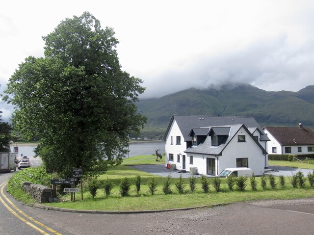
Onich
Onich (; Gaelic: Omhanaich, 'abounding in froth, frothy place'), also spelled Ounich, is a village in the historic county of Inverness-shire on the east...

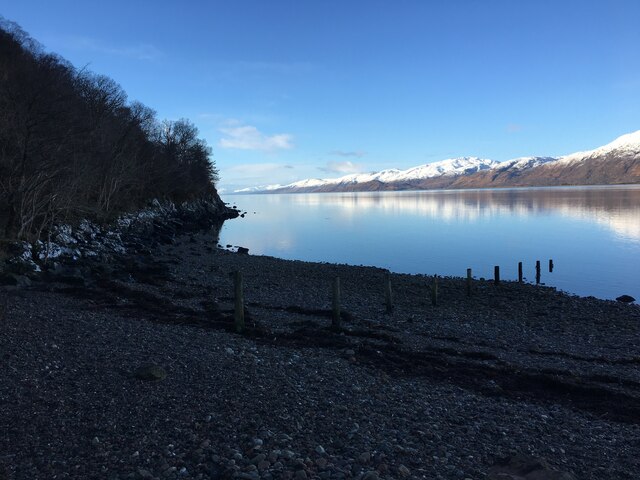
Loch Linnhe
Loch Linnhe ( lokh LIN-ee) is a sea loch on the west coast of Scotland. The part upstream of Corran is known in Gaelic as An Linne Dhubh (the black pool...

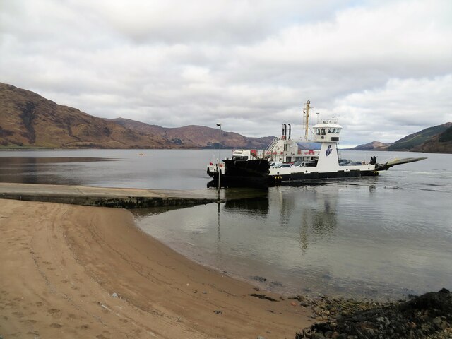
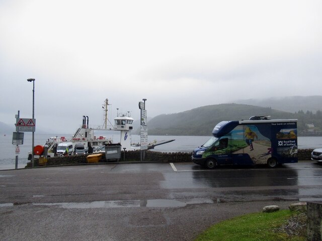
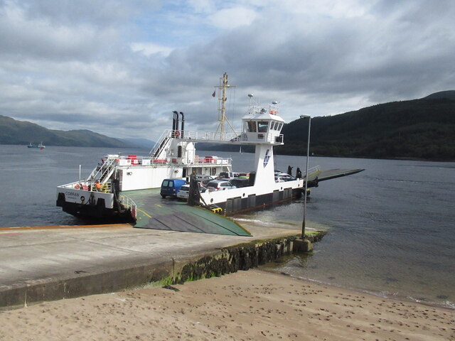
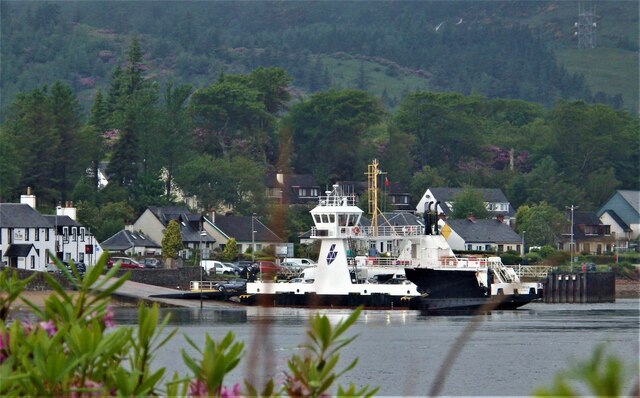
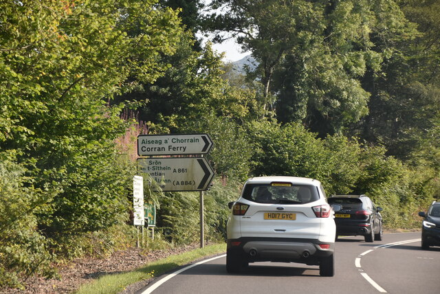
Corran Ferry
The Corran Ferry crosses Loch Linnhe at the Corran Narrows, south of Fort William, Scotland. == Description == Operated by Highland Council, the Corran...

Corran, Lochaber
Corran (Scottish Gaelic: An Corran) is a former fishing village, situated on Corran Point, on the west side of the Corran Narrows of Loch Linnhe, in Lochaber...
Nearby Amenities
Located within 500m of 56.705036,-5.2394154Have you been to Monadh Cuil-heanna?
Leave your review of Monadh Cuil-heanna below (or comments, questions and feedback).