Coed y Nant
Wood, Forest in Monmouthshire
Wales
Coed y Nant
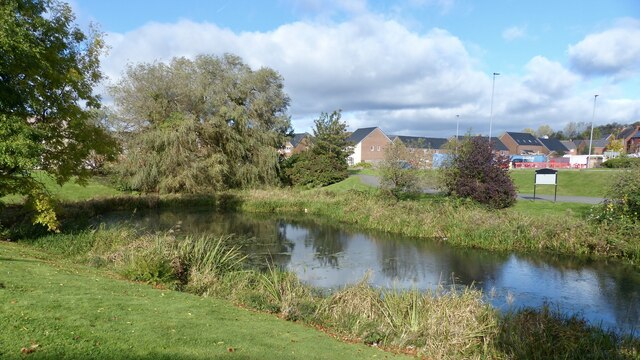
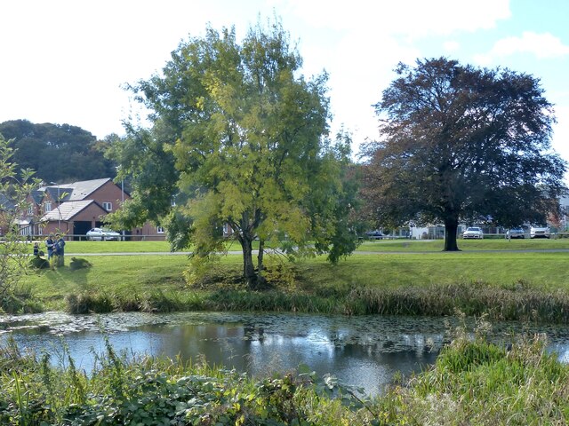
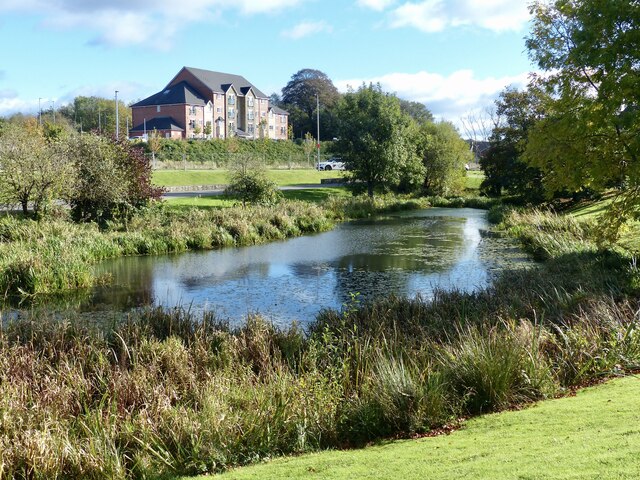
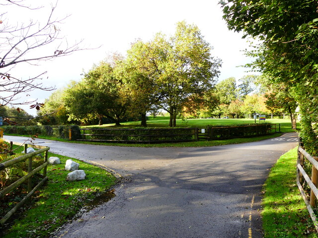
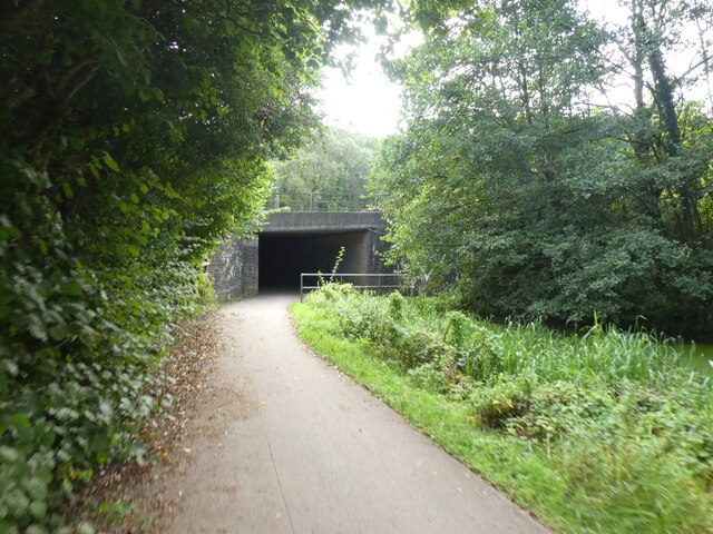
Coed y Nant is a picturesque woodland located in Monmouthshire, Wales. Spanning approximately 200 acres, it is a haven for nature enthusiasts and those seeking a peaceful retreat. The name "Coed y Nant" translates to "Wood of the Stream," which is fitting as it is situated alongside a tranquil babbling brook.
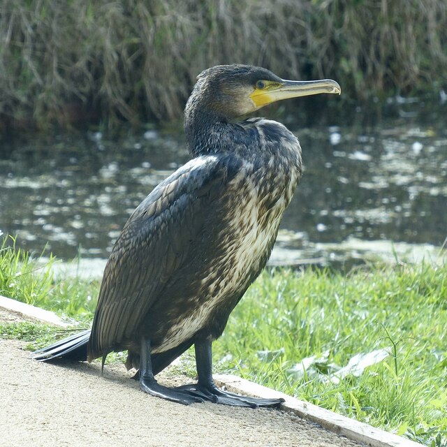
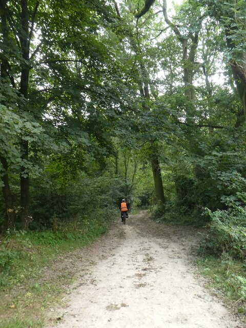
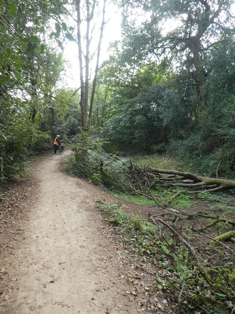
The forest boasts an impressive variety of tree species, including oak, beech, and birch, creating a diverse and vibrant ecosystem. The dense foliage provides a rich habitat for numerous wildlife species, such as red kites, buzzards, and various songbirds. Nature lovers will often spot squirrels darting through the trees or deer grazing in the clearings.
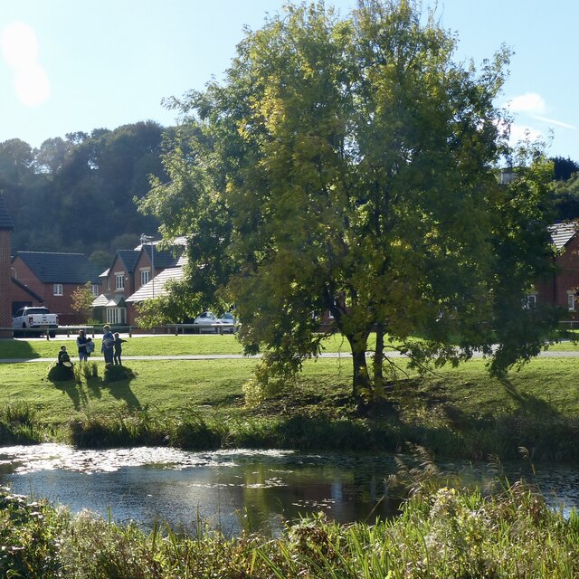
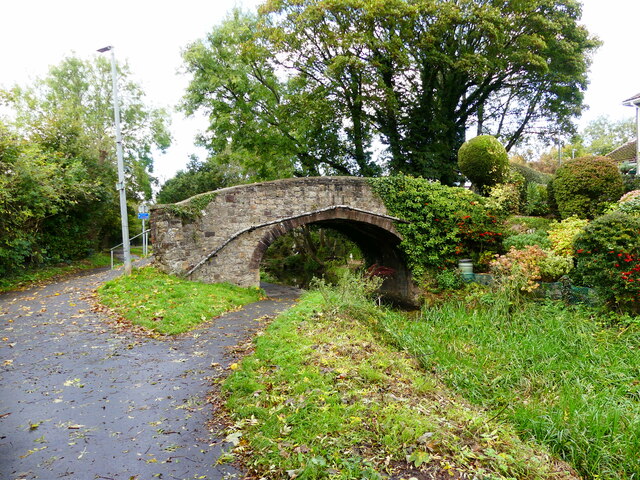
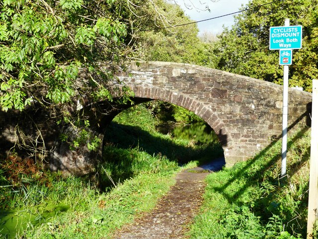
Coed y Nant offers an extensive network of well-maintained trails, making it an ideal destination for walkers, hikers, and joggers. The paths wind through the woodland, offering visitors a chance to immerse themselves in the peaceful surroundings and soak up the natural beauty. Along the trails, there are several strategically placed benches where visitors can pause, relax, and enjoy the serene ambiance.
The forest is managed by a dedicated team of conservationists who work diligently to preserve its natural beauty and protect its inhabitants. Educational programs and guided walks are occasionally organized to raise awareness about the importance of preserving this unique ecosystem.
Coed y Nant is a true gem in the Monmouthshire countryside, offering visitors a chance to escape the hustle and bustle of everyday life and reconnect with nature. Whether it's a leisurely stroll or a more adventurous hike, this enchanting woodland is sure to leave a lasting impression on all who venture within its leafy embrace.
If you have any feedback on the listing, please let us know in the comments section below.
Coed y Nant Images
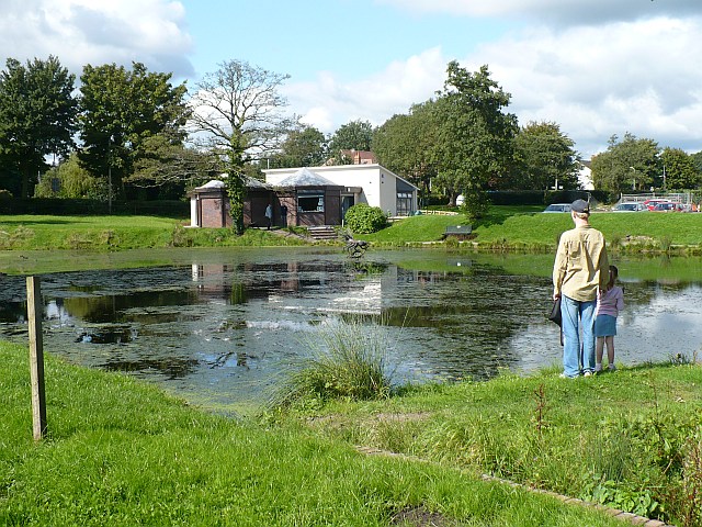
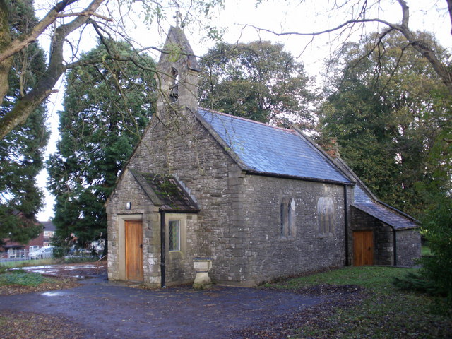
Images are sourced within 2km of 51.598409/-3.0407332 or Grid Reference ST2889. Thanks to Geograph Open Source API. All images are credited.

Coed y Nant is located at Grid Ref: ST2889 (Lat: 51.598409, Lng: -3.0407332)
Unitary Authority: Newport
Police Authority: Gwent
What 3 Words
///doors.asking.mouse. Near Newport
Nearby Locations
Related Wikis

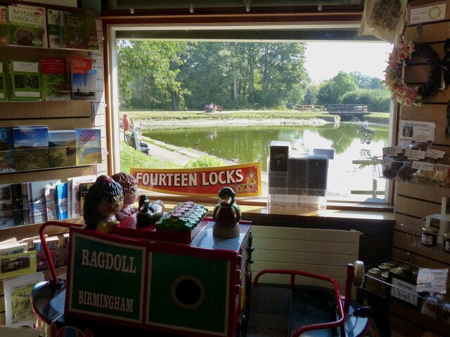
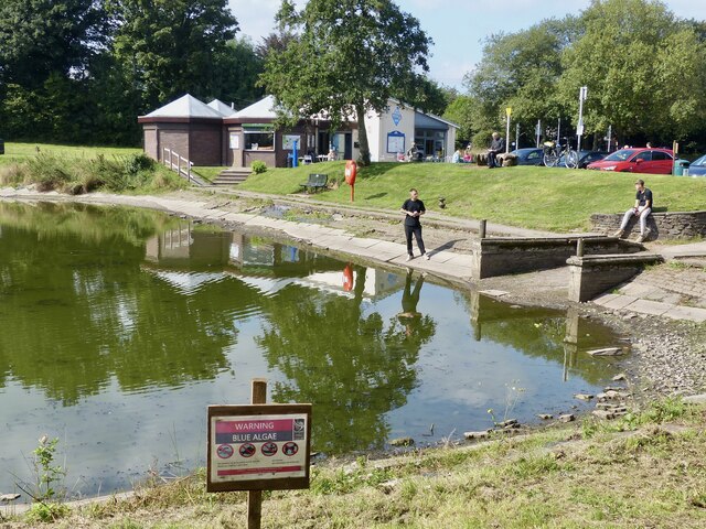
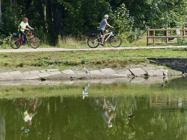
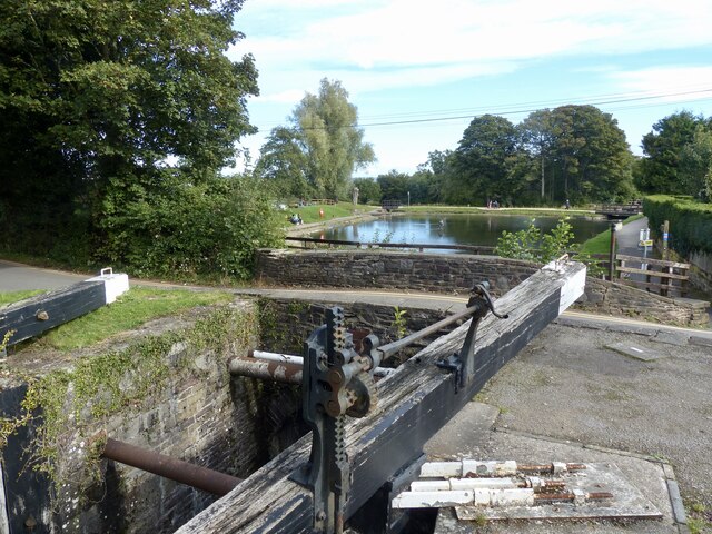
Fourteen Locks
Fourteen Locks (grid reference ST277886) is a series of locks, also known as the Cefn Flight, on the Crumlin arm of the Monmouthshire Canal at Rogerstone...

High Cross, Newport
High Cross is a suburb of the city of Newport, South Wales, and forms part of the community (parish) of Rogerstone. The majority of the housing in the...
Rogerstone
Rogerstone (Welsh: Tŷ du, meaning "Black house") is a large village and community (parish) in Newport, Wales. The area is governed by Newport City Council...
Bettws, Newport
Bettws (Welsh: Betws) is a large modern housing estate, electoral ward and coterminous community (parish) of the city of Newport, South Wales. == Etymology... ==
Allt-yr-yn
Allt-yr-yn (Welsh: Allt-yr-ynn) is a suburb of the city of Newport, south-east Wales. == Name == Pronounced by English-speaking locals as "Olt-er-reen...

Newport West (UK Parliament constituency)
Newport West (Welsh: Gorllewin Casnewydd) is one of two parliamentary constituencies for the city of Newport, South Wales, in the House of Commons of the...

Ridgeway, Newport
Ridgeway is an area in Newport, Wales, in the electoral ward and community of Allt-yr-yn. It is well known for its ridge which overlooks Rogerstone and...
Newport West (Senedd constituency)
Newport West (Welsh: Gorllewin Casnewydd) is a constituency of the Senedd. It elects one Member of the Senedd by the first past the post method of election...
Nearby Amenities
Located within 500m of 51.598409,-3.0407332Have you been to Coed y Nant?
Leave your review of Coed y Nant below (or comments, questions and feedback).