Coed Odyn
Wood, Forest in Monmouthshire
Wales
Coed Odyn
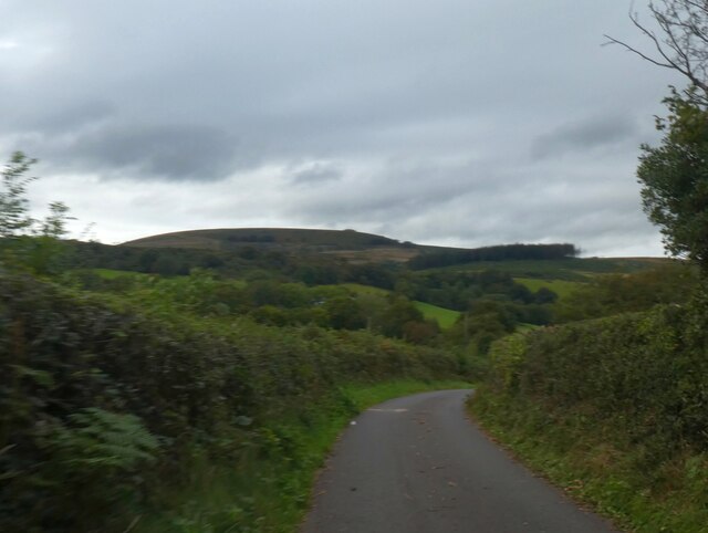
Coed Odyn is a charming woodland located in Monmouthshire, Wales. Covering an extensive area, the forest is renowned for its natural beauty and diverse wildlife. Nestled within the enchanting Wye Valley, Coed Odyn offers a peaceful retreat for nature enthusiasts and outdoor adventurers alike.
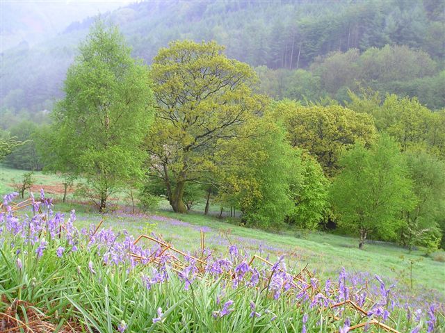
The woodland is dominated by a mix of deciduous and coniferous trees, creating a stunning tapestry of vibrant colors throughout the seasons. Ancient oak trees stand tall, their gnarled branches reaching towards the sky, while majestic pines provide a tranquil backdrop. The forest floor is carpeted with a rich variety of flora, including bluebells, wild garlic, and ferns, creating a picturesque setting for leisurely walks or picnics.
Coed Odyn is a haven for wildlife, with a diverse range of species calling the woodland home. Birdwatchers can delight in the opportunity to spot woodland birds such as woodpeckers, owls, and nuthatches. Additionally, the forest is a habitat for mammals including badgers, foxes, and deer, adding to the sense of wilderness and natural wonder.
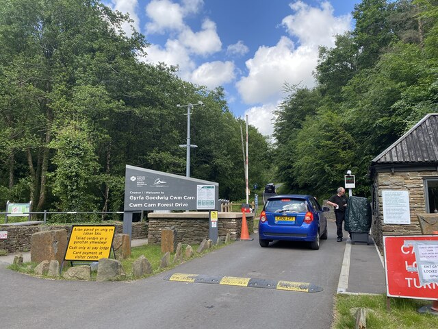
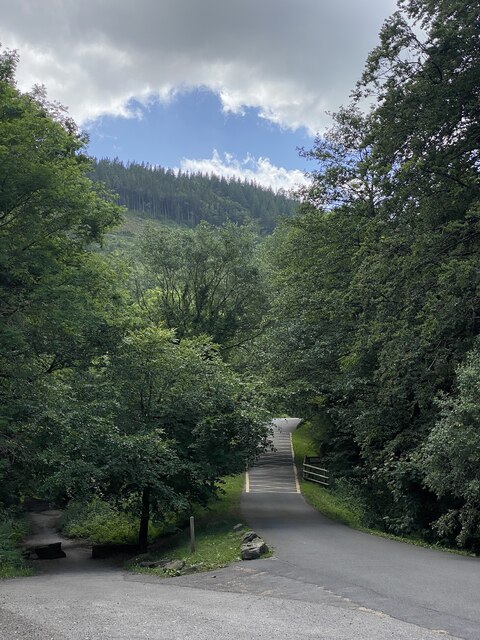
The woodland offers a network of well-maintained trails, allowing visitors to explore its beauty at their own pace. From easy strolls to more challenging hikes, there is a route suitable for all abilities. These paths wind through the forest, offering glimpses of breathtaking views, hidden streams, and secluded clearings.
Coed Odyn is a true gem of Monmouthshire, providing a serene escape from the hustle and bustle of everyday life. Whether it's a leisurely walk, a picnic with loved ones, or simply immersing oneself in the tranquility of nature, the woodland offers a truly memorable experience for all who visit.
If you have any feedback on the listing, please let us know in the comments section below.
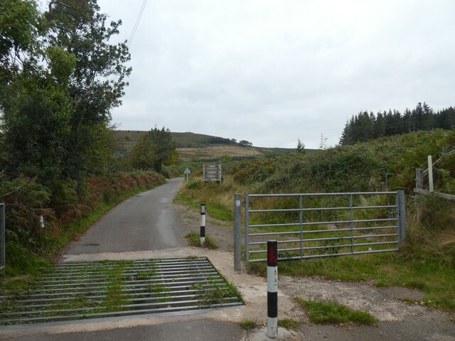
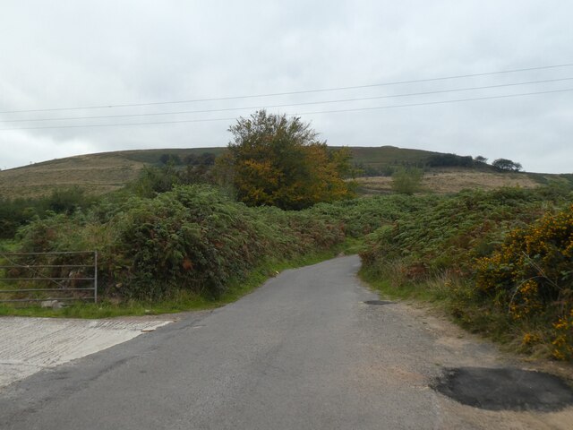
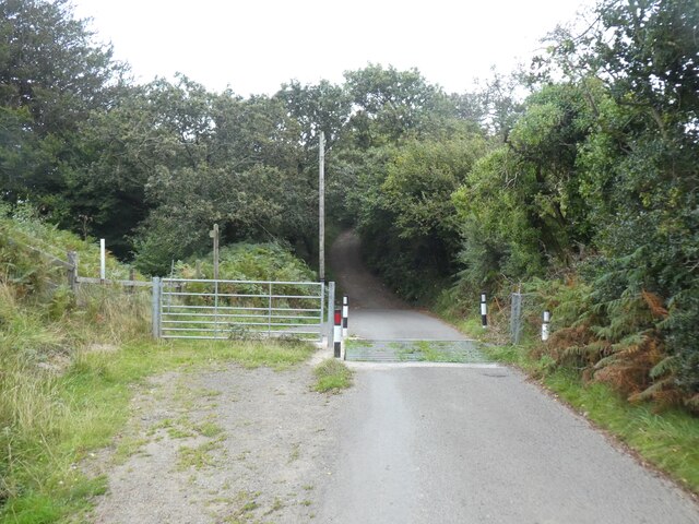
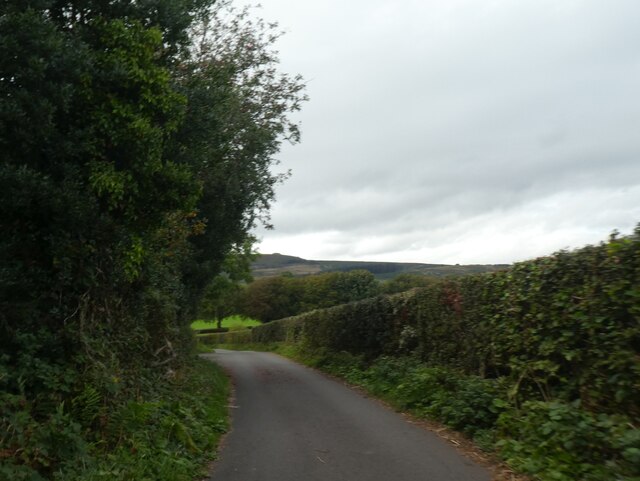
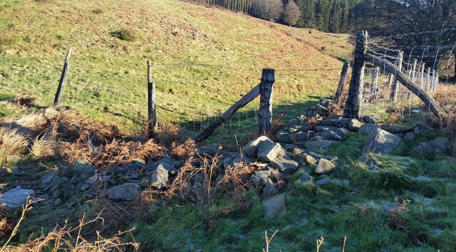
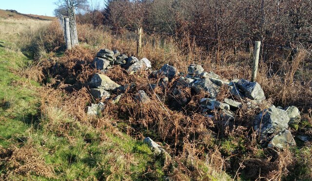
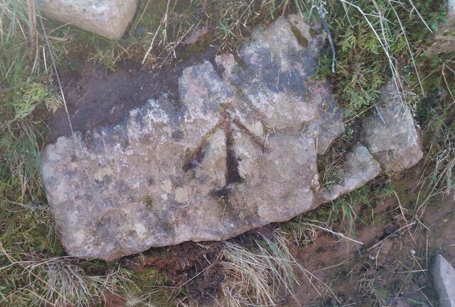
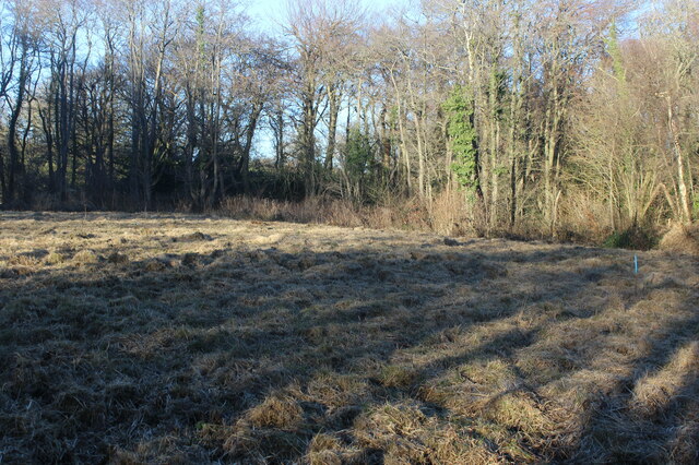
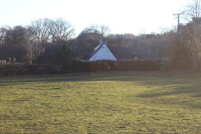
Coed Odyn Images
Images are sourced within 2km of 51.637914/-3.0888613 or Grid Reference ST2493. Thanks to Geograph Open Source API. All images are credited.
Coed Odyn is located at Grid Ref: ST2493 (Lat: 51.637914, Lng: -3.0888613)
Unitary Authority: Torfaen
Police Authority: Gwent
What 3 Words
///dunes.crashing.afflicted. Near Crosskeys, Caerphilly
Nearby Locations
Related Wikis

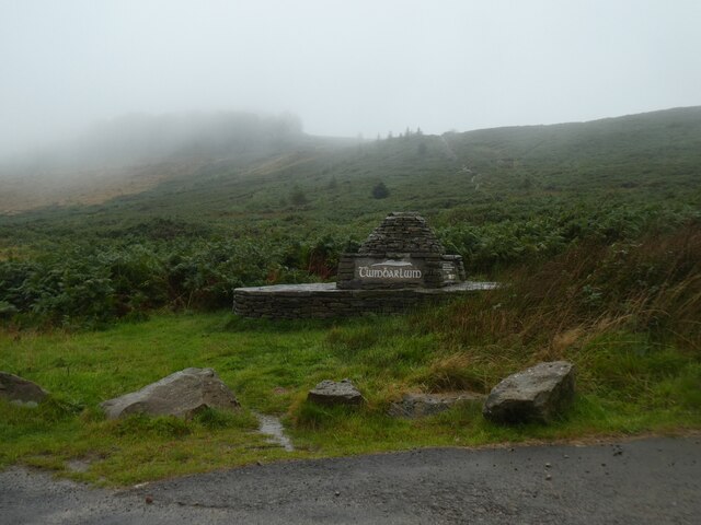
Twmbarlwm
Twmbarlwm, also known as Twm Barlwm, Twyn Barlwm or locally known as "the Twmp" (translation: hump), the Nipple or the Pimple because of the mound that...

Cwmbran High School
Cwmbran High School (Welsh: Ysgol Uwchradd Cwmbran), previously known as Fairwater High School, is a state-funded and non-selective comprehensive school...
Saint Mary & Saint Philopateer Abu Saifain Coptic Orthodox Church
St Mary and St Mercurius Coptic Orthodox Church is the first Coptic Orthodox Church in Wales, at St Mary Street in Risca, Newport, Wales. It was consecrated...
Cwmcarn
Cwmcarn is a village situated in the Ebbw valley in south Wales, in the historic boundaries of Monmouthshire. It grew with 19th-century coal mining, but...

English Baptist Church, Abercarn
The English Baptist Church is a Grade II-listed Baptist church in the town of Abercarn, Caerphilly, Wales. It was built in the mid-nineteenth century to...

Fairwater, Torfaen
Fairwater is a community and suburb of Cwmbran in the county borough of Torfaen, in south east Wales, and was built by the Cwmbran Development Corporation...
Coed Eva
Coed Eva (Welsh: Coed Efa) is a suburb of Cwmbran in Torfaen County Borough, Wales. It lies in the preserved county of Gwent and within the historic boundaries...
Abercarn colliery disaster
The Abercarn colliery disaster was a catastrophic explosion within the Prince of Wales Colliery in the Welsh village of Abercarn (then in the county of...
Nearby Amenities
Located within 500m of 51.637914,-3.0888613Have you been to Coed Odyn?
Leave your review of Coed Odyn below (or comments, questions and feedback).