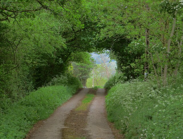
Yatt Wood
Wood, Forest in Radnorshire
Wales
Yatt Wood
The requested URL returned error: 429 Too Many Requests
If you have any feedback on the listing, please let us know in the comments section below.
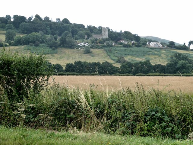
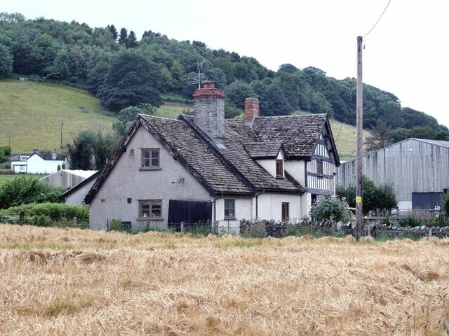
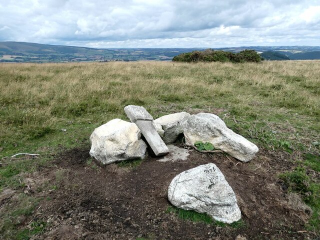
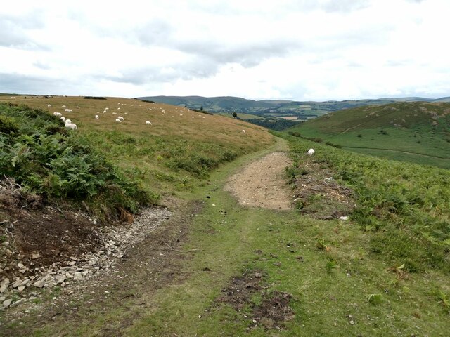
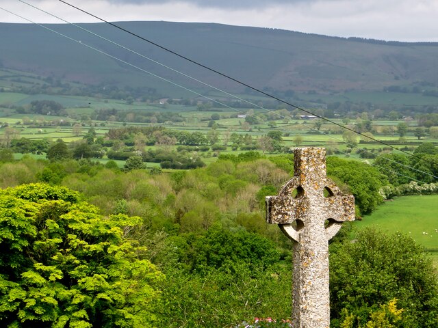
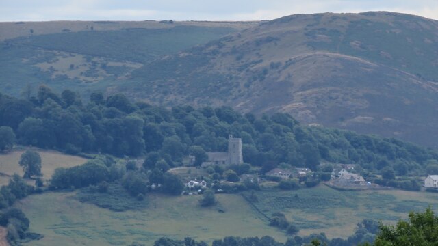
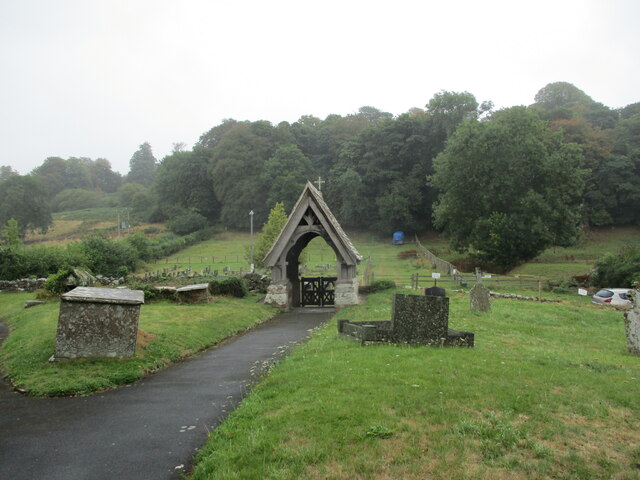
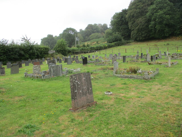
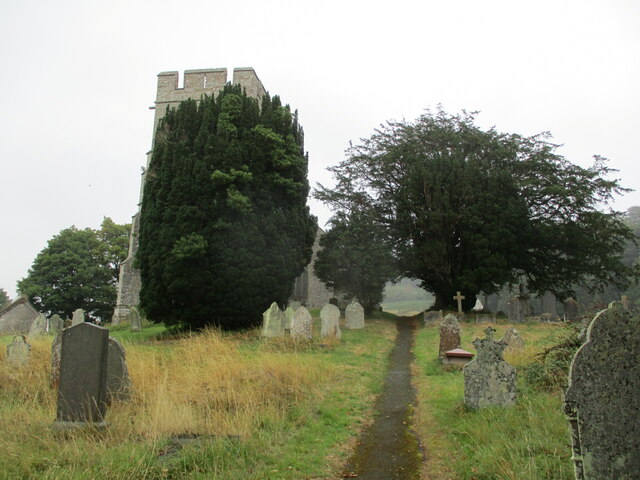
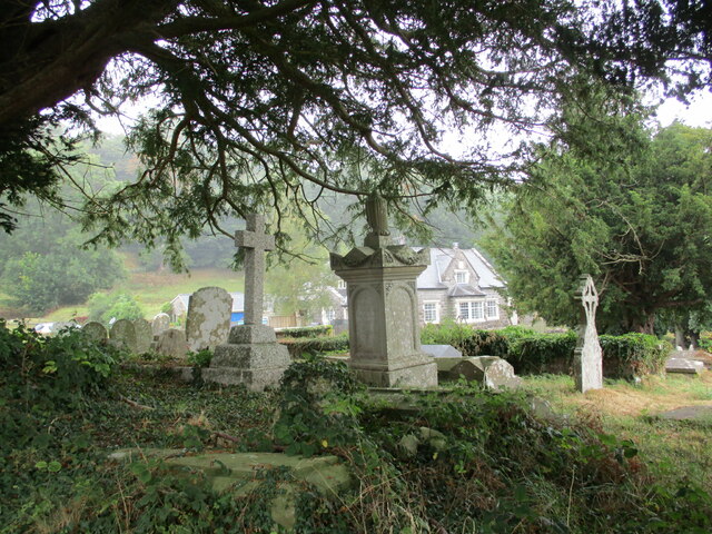
Yatt Wood Images
Images are sourced within 2km of 52.218011/-3.103947 or Grid Reference SO2458. Thanks to Geograph Open Source API. All images are credited.
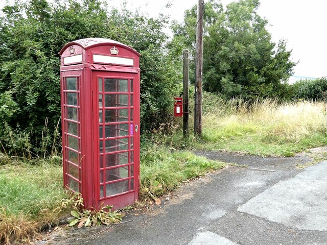
Yatt Wood is located at Grid Ref: SO2458 (Lat: 52.218011, Lng: -3.103947)
Unitary Authority: Powys
Police Authority: Dyfed Powys
What 3 Words
///crumble.important.rewarded. Near Kington, Herefordshire
Related Wikis

Dolyhir railway station
Dolyhir railway station was a station in Dolyhir, Powys, Wales. The station opened in 1875 and closed in 1951. The station building survives today, and...

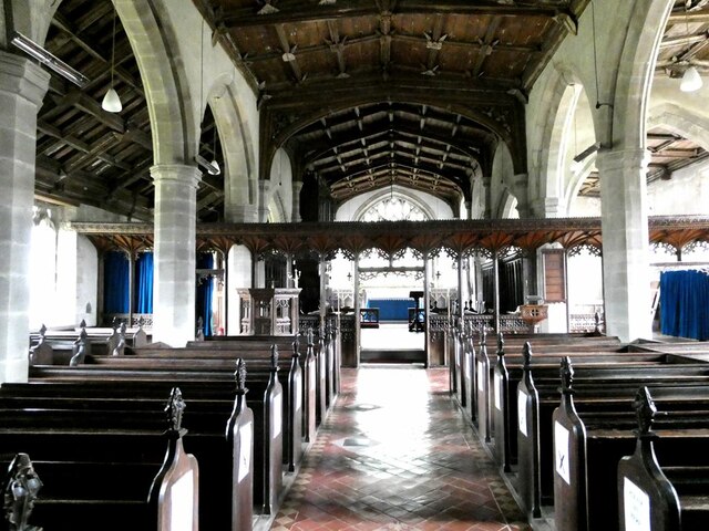
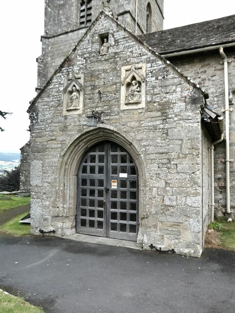
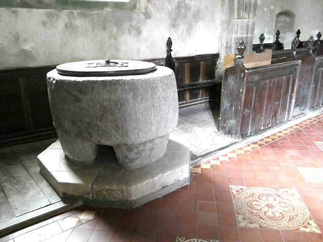
St Stephen's Church, Old Radnor
St Stephen's Church is a Church of England parish church in Old Radnor, Powys, Wales. It was constructed in the 15th century in perpendicular gothic style...

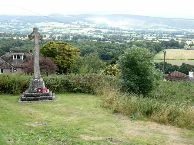
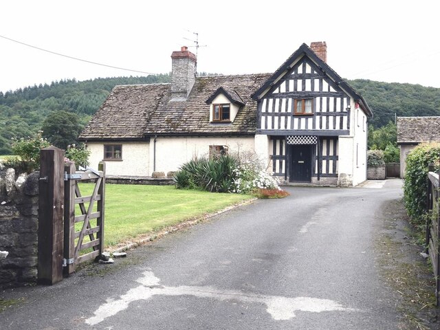
Old Radnor
Old Radnor (Welsh: Pencraig) is a village and community in Powys, Wales. The community includes Old Radnor and the villages of Yardro, Dolyhir, Burlingjobb...

Castle Nimble
Castle Nimble (also called Knapp; Maes Hyfaidd; Maes Hyvaidd) was a motte and bailey defensive fortification near Old Radnor, in Radnorshire (modern-day...
Nearby Amenities
Located within 500m of 52.218011,-3.103947Have you been to Yatt Wood?
Leave your review of Yatt Wood below (or comments, questions and feedback).