The Grove

Wood, Forest in Carmarthenshire

Wales

The Grove

Rolling Carmarthenshire countryside Rolling Carmarthenshire countryside to the south of Porthrhyd.
Rolling Carmarthenshire countryside Credit: Philip Halling

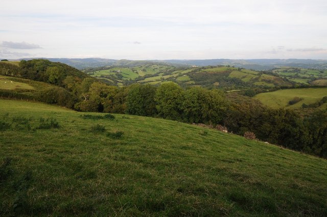
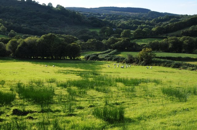
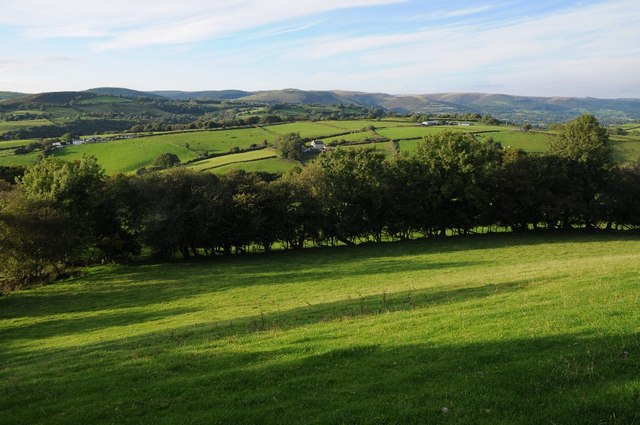
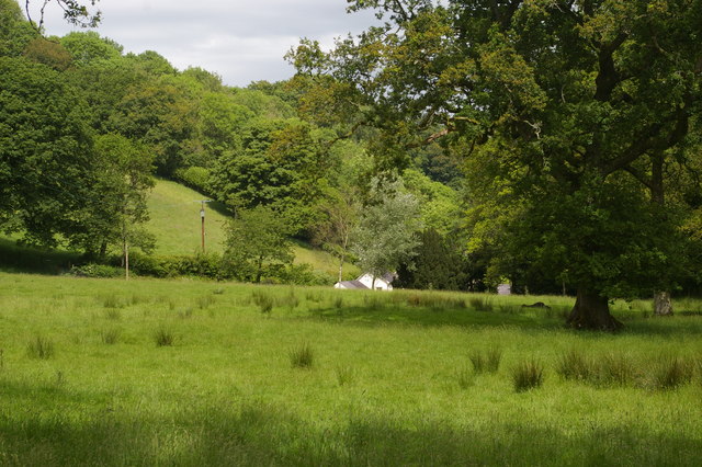
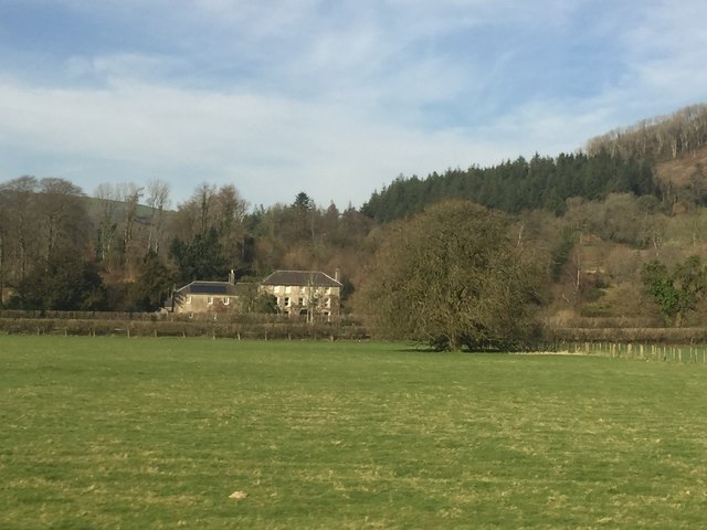
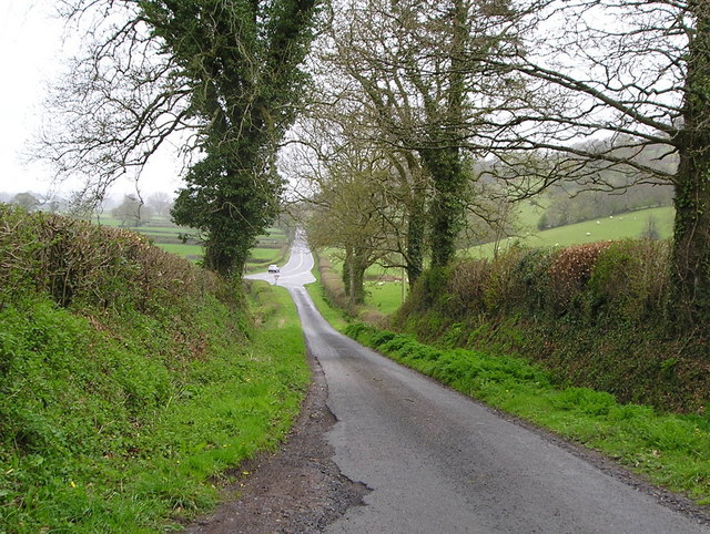
The Grove, located in Carmarthenshire, Wales, is a picturesque wood and forest area that offers a serene and enchanting escape for nature enthusiasts. Spanning across acres of land, this natural haven boasts an abundance of trees, wildlife, and scenic beauty.

The Grove is home to a diverse range of tree species, including oak, beech, and birch, creating a rich and vibrant woodland atmosphere. The dense canopy provides shade and shelter, making it an ideal habitat for various creatures, such as squirrels, birds, and deer. The forest floor is adorned with a carpet of ferns, wildflowers, and mosses, adding to its ethereal charm.

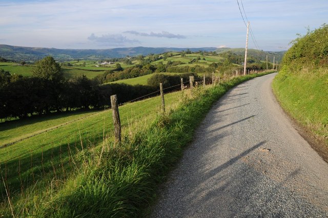
Visitors to The Grove can explore its many walking trails and hiking paths that wind through the woods, offering breathtaking views at every turn. The tranquil ambiance and fresh air make it an excellent location for outdoor activities such as picnics, bird-watching, or simply taking a leisurely stroll to unwind and connect with nature.

The Grove is also steeped in history, with remnants of ancient settlements and historical landmarks scattered throughout the forest. These remnants provide a glimpse into the rich cultural heritage of the area and add a touch of intrigue to the natural surroundings.

Overall, The Grove in Carmarthenshire is a captivating destination for those seeking solace in nature. Its lush vegetation, diverse wildlife, and serene ambiance make it a perfect retreat for individuals and families alike. Whether for a peaceful walk, a picnic, or an exploration of the area's history, The Grove offers a truly enriching experience for all who visit.

If you have any feedback on the listing, please let us know in the comments section below.
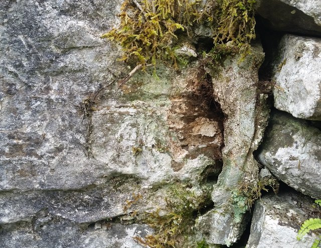
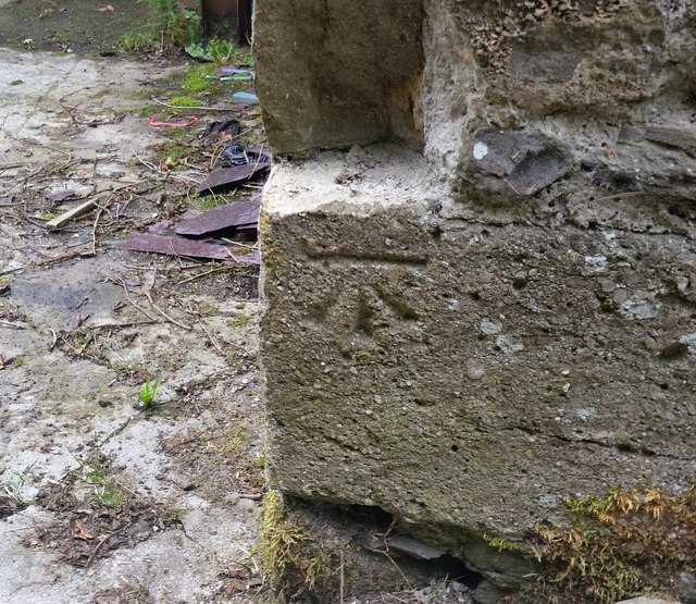
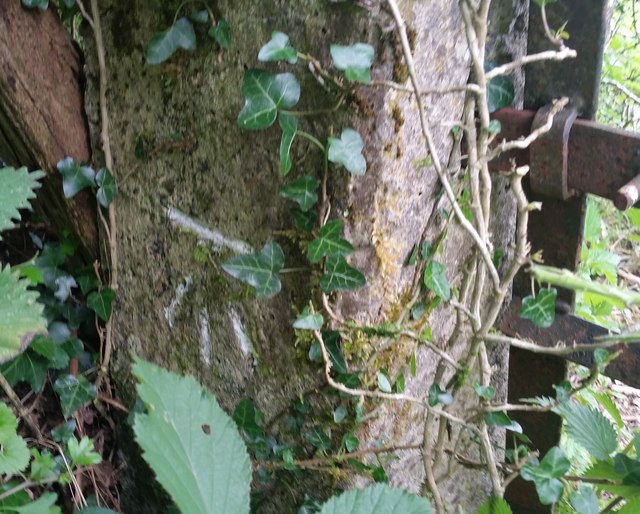
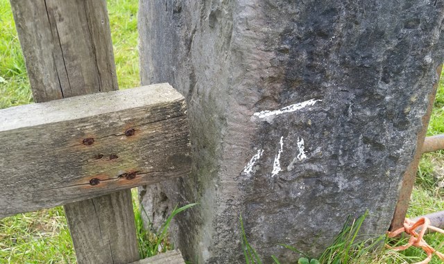
The Grove Images

Images are sourced within 2km of 51.989523/-3.8581598 or Grid Reference SN7233. Thanks to Geograph Open Source API. All images are credited.

Rolling Carmarthenshire countryside Rolling Carmarthenshire countryside to the south of Porthrhyd.
Rolling Carmarthenshire countryside
Rolling Carmarthenshire countryside to the south of Porthrhyd.
Wet pasture Sheep in a field in a valley below Rhiwrhwch Isaf.
Wet pasture
Sheep in a field in a valley below Rhiwrhwch Isaf.
Country road near Allt Rhiw'r-hwch Uchaf View to the north-east across countryside near Allt Rhiw'r-hwch Uchaf. The same view as seven years ago <a href="https://www.geograph.org.uk/photo/980015">SN7335 : Country road near Allt Rhiw'r-hwch Uchaf</a>
Country road near Allt Rhiw'r-hwch Uchaf
View to the north-east across countryside near Allt Rhiw'r-hwch Uchaf. The same view as seven years ago SN7335 : Country road near Allt Rhiw'r-hwch Uchaf
Farmland above Allt Rhiw'r-hwch Uchaf
View over the fields towards Alltycloriau
Llwyn y Brain Llwyn y Brain, nestling in woodland between Llanwrda and Llandovery.
Llwyn y Brain
Llwyn y Brain, nestling in woodland between Llanwrda and Llandovery.
Ordnance Survey Cut Mark This OS cut mark can be found on the barn at Rhiwrhwlch. It marks a point 140.781m above mean sea level.
Ordnance Survey Cut Mark
This OS cut mark can be found on the barn at Rhiwrhwlch. It marks a point 140.781m above mean sea level.
Ordnance Survey Cut Mark This OS cut mark can be found on the churn stand SE side of the road. It marks a point 222.489m above mean sea level.
Ordnance Survey Cut Mark
This OS cut mark can be found on the churn stand SE side of the road. It marks a point 222.489m above mean sea level.
Ordnance Survey Cut Mark This OS cut mark can be found on the barn at Bwlch-y-gwynt. It marks a point 211.062m above mean sea level.
Ordnance Survey Cut Mark
This OS cut mark can be found on the barn at Bwlch-y-gwynt. It marks a point 211.062m above mean sea level.
Ordnance Survey Cut Mark This OS cut mark can be found on the barn at Llanwrda Farm. It marks a point 193.974m above mean sea level.
Ordnance Survey Cut Mark
This OS cut mark can be found on the barn at Llanwrda Farm. It marks a point 193.974m above mean sea level.
Ordnance Survey Cut Mark This OS cut mark can be found on the concrete gatepost SW side of the road. It marks a point 176.542m above mean sea level.
Ordnance Survey Cut Mark
This OS cut mark can be found on the concrete gatepost SW side of the road. It marks a point 176.542m above mean sea level.
Ordnance Survey Cut Mark This OS cut mark can be found on the stone gatepost SW side of the road. It marks a point 147.425m above mean sea level.
Ordnance Survey Cut Mark
This OS cut mark can be found on the stone gatepost SW side of the road. It marks a point 147.425m above mean sea level.
Ordnance Survey Cut Mark This OS cut mark can be found on the concrete gatepost south side of the road. It marks a point 78.645m above mean sea level.
Ordnance Survey Cut Mark
This OS cut mark can be found on the concrete gatepost south side of the road. It marks a point 78.645m above mean sea level.
Ordnance Survey Rivet This OS rivet can be found on the north parapet of the bridge over the Afon Mynys. It marks a point 59.532m above mean sea level.
Ordnance Survey Rivet
This OS rivet can be found on the north parapet of the bridge over the Afon Mynys. It marks a point 59.532m above mean sea level.
Ordnance Survey Cut Mark All that remains of this OS cut mark is the tips of the arrow. It can be found on the barn at Cwm Mynys Farm. It marks a point 80.871m above mean sea level.
Ordnance Survey Cut Mark
All that remains of this OS cut mark is the tips of the arrow. It can be found on the barn at Cwm Mynys Farm. It marks a point 80.871m above mean sea level.
Ordnance Survey Cut Mark This OS cut mark can be found on No2 Glyncoch. It marks a point 75.450m above mean sea level.
Ordnance Survey Cut Mark
This OS cut mark can be found on No2 Glyncoch. It marks a point 75.450m above mean sea level.
Ordnance Survey Cut Mark This OS cut mark can be found on the NE angle of Tirbanal. It marks a point 94.778m above mean sea level.
Ordnance Survey Cut Mark
This OS cut mark can be found on the NE angle of Tirbanal. It marks a point 94.778m above mean sea level.
Roman Road Junction This is part of the site of a Roman Road that ran between Llandovery and Carmarthen. At this junction, the A40 deviates off the route keeping to the flatter ground nearer the river, where a roadsign warns travellers that the road is lible to flooding. The Romans knew better, and continued their road on in a straight line to enable their soldiers to travel in all weathers.
Roman Road Junction
This is part of the site of a Roman Road that ran between Llandovery and Carmarthen. At this junction, the A40 deviates off the route keeping to the flatter ground nearer the river, where a roadsign warns travellers that the road is lible to flooding. The Romans knew better, and continued their road on in a straight line to enable their soldiers to travel in all weathers.
Show me another place!

The Grove is located at Grid Ref: SN7233 (Lat: 51.989523, Lng: -3.8581598)

Unitary Authority: Carmarthenshire

Police Authority: Dyfed Powys

What 3 Words

///buns.hexes.episode. Near Llandovery, Carmarthenshire

Nearby Locations

The Grove

Related Wikis

Llanwrda

Llanwrda ([ɬanʊrˈda] ) is a village and community in Carmarthenshire, Wales, 4 miles (6.4 km) southwest of Llandovery. It lies on the River Towy. The population...

Afon Brân

The Afon Brân is a tributary of the River Towy (or Welsh Afon Tywi) in mid Wales. Its headwaters rise in Irfon Forest in the northeastern corner of Carmarthenshire...

Llanwrda railway station

Llanwrda railway station serves the village of Llanwrda near Llandovery, Carmarthenshire. Opened by the Vale of Towy Railway in 1858, the station is on...

Llandovery railway station

Llandovery railway station serves the market town of Llandovery, Carmarthenshire, Wales. The station is on the Heart of Wales Line 42 miles (68 km) north...

Nearby Amenities

Located within 500m of 51.989523,-3.8581598
Place: farm
Lat/Long: 51.986026/-3.8605066
Place: farm
Lat/Long: 51.9896203/-3.8564511
The data included in this document is from www.openstreetmap.org. The data is made available under ODbL.

Have you been to The Grove?

Leave your review of The Grove below (or comments, questions and feedback).