Moelfre Wood
Wood, Forest in Carmarthenshire
Wales
Moelfre Wood
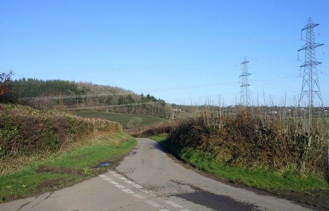
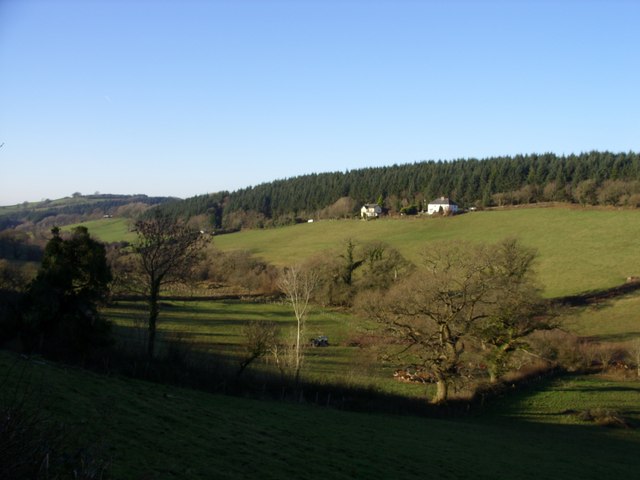
Moelfre Wood is a stunning natural gem located in Carmarthenshire, Wales. Spread across a vast area, this enchanting forest is a haven for nature lovers and outdoor enthusiasts. The wood is situated near the village of Moelfre and is known for its diverse flora and fauna.
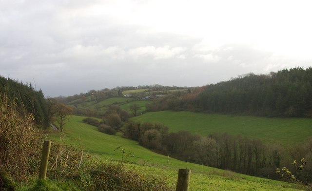
Covering an area of approximately 500 acres, Moelfre Wood offers a tranquil escape from the hustle and bustle of everyday life. The forest is predominantly composed of native broadleaf trees such as oak, ash, and birch, creating a rich and vibrant canopy. This diverse mix of tree species supports a wide range of wildlife, including birds, mammals, and insects.
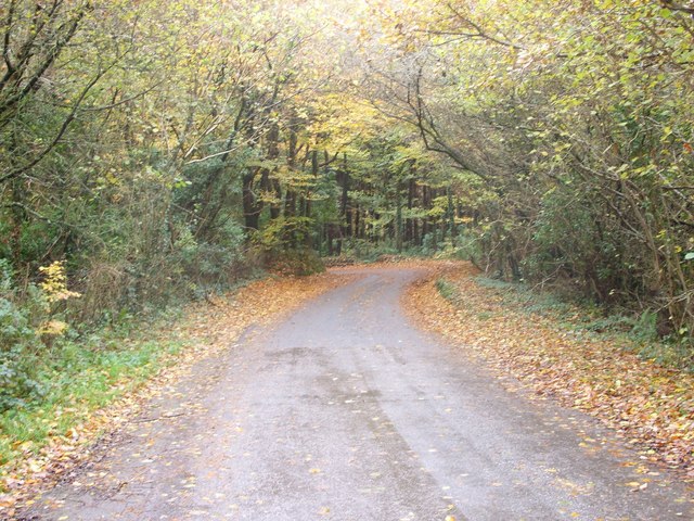
Walking through Moelfre Wood, visitors are treated to a picturesque landscape of winding paths and hidden glades. The forest is crisscrossed with a network of trails, making it an ideal destination for hikers and nature enthusiasts. The quiet and peaceful atmosphere of the wood also makes it a popular spot for birdwatching and photography.
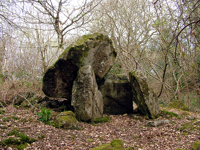
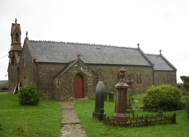
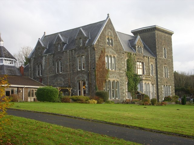
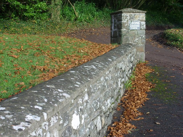
In addition to its natural beauty, Moelfre Wood has historical significance. It was once part of a larger estate and retains remnants of its past, including old stone walls and the remains of a 19th-century mansion. These historical features add a touch of intrigue and charm to the forest.
Moelfre Wood is a captivating destination that offers a unique blend of natural beauty and historical interest. Whether exploring the well-maintained trails or simply enjoying the peaceful ambiance, visitors to this enchanting woodland are sure to be captivated by its charm.
If you have any feedback on the listing, please let us know in the comments section below.
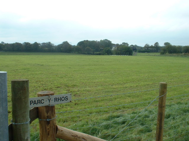
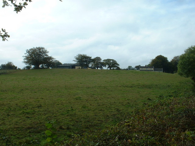
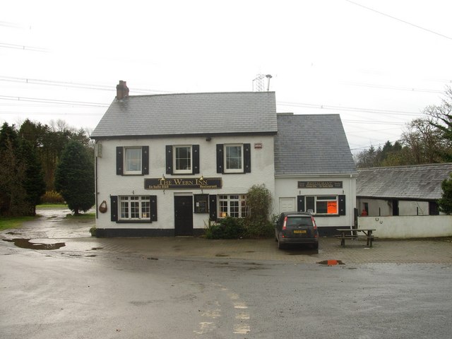
Moelfre Wood Images
Images are sourced within 2km of 51.814541/-4.4050051 or Grid Reference SN3415. Thanks to Geograph Open Source API. All images are credited.
Moelfre Wood is located at Grid Ref: SN3415 (Lat: 51.814541, Lng: -4.4050051)
Unitary Authority: Carmarthenshire
Police Authority: Dyfed Powys
What 3 Words
///helpfully.chained.ooze. Near Llangynog, Carmarthenshire
Nearby Locations
Related Wikis

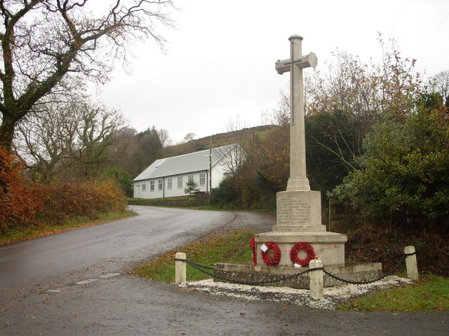
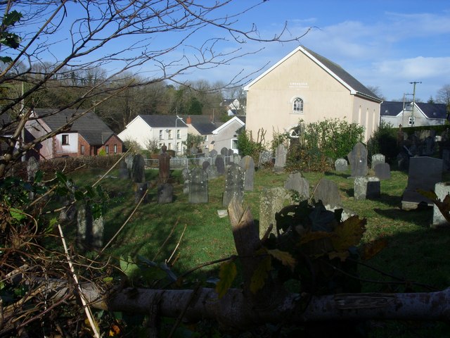
Llangynog, Carmarthenshire
Llangynog is a village and community located in Carmarthenshire, Wales, the main settlement of which was once called ‘Ebenezer’village. It is bordered...

Coed Cochion Quarry
Coed Cochion Quarry is a Site of Special Scientific Interest (SSSI) in Carmarthenshire, Wales, in which the geology of the site has preserved rare Precambrian...

Beacon Bog
Beacon Bog is a Site of Special Scientific Interest in the community of Llangynog in Carmarthenshire, Wales. == Description == Beacon Bog is a small lowland...
Dan-Lan-Y-Castell Quarry
Dan-Lan-Y-Castell Quarry is a Site of Special Scientific Interest in Carmarthen & Dinefwr, Wales. == References == == See also == List of Sites of Special...

Bancyfelin
Bancyfelin is a village, 5 miles (8.0 km) west of Carmarthen, Wales. The English translation of the Welsh name is Hillside of the Mill. There is no remnant...
Sarnau railway station
Sarnau railway station served the village of Bancyfelin, Carmarthenshire, Wales; it was close to the hamlet of Sarnau. It was on the West Wales Line....

Llanybri
Llanybri is a rural farming village situated between the estuaries of the River Tywi and River Taf in Carmarthenshire, Wales. It is one of two villages...

Yr Hen Gapel, Llanybri
Yr Hen Gapel (Welsh for The Old Chapel) is a now ruined religious building and scheduled ancient monument in the village of Llanybri, Carmarthenshire,...
Nearby Amenities
Located within 500m of 51.814541,-4.4050051Have you been to Moelfre Wood?
Leave your review of Moelfre Wood below (or comments, questions and feedback).