Yealmpton

Civil Parish in Devon South Hams

England

Yealmpton

Old Bridge Marker on the B3186 in Yealmpton County Bridge Marker built into a stone wall off the ground and next to a fire hydrant on the west side of the B3186 Torr Hill 100 metres south of Torr Bridge, River Yealm. Yealmpton parish. Inscribed C to mark the extent of roadway adjoining the bridge that the County was obliged to maintain.

Milestone Society National ID: DV_TNPL16br
Old Bridge Marker on the B3186 in Yealmpton Credit: T Jenkinson

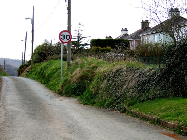
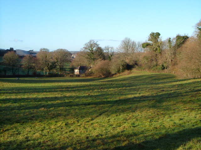
Yealmpton is a civil parish located in the South Hams district of Devon, England. Situated on the southern edge of Dartmoor National Park, it is nestled between the River Yealm to the east and the River Erme to the west. The village itself is about 8 miles from Plymouth and 4 miles from the coastal town of Plymstock.

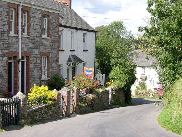
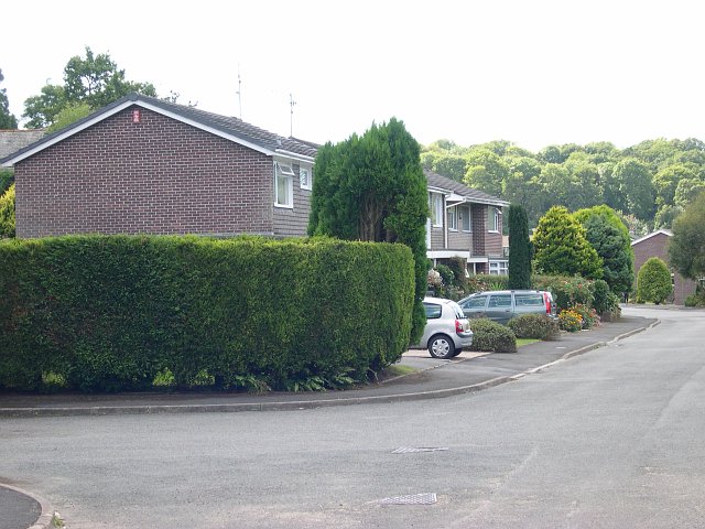
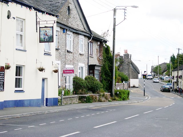
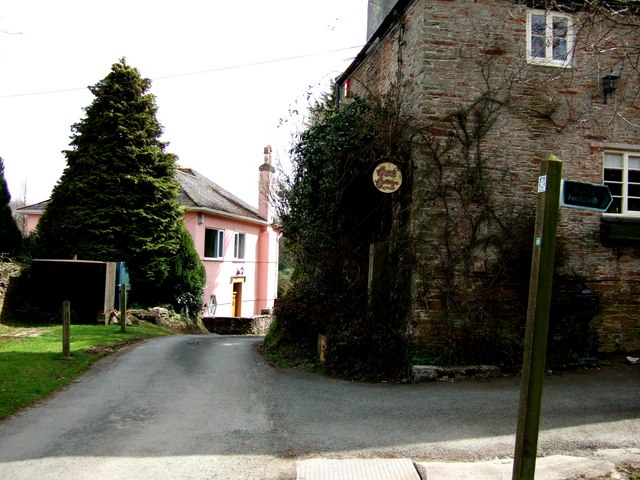
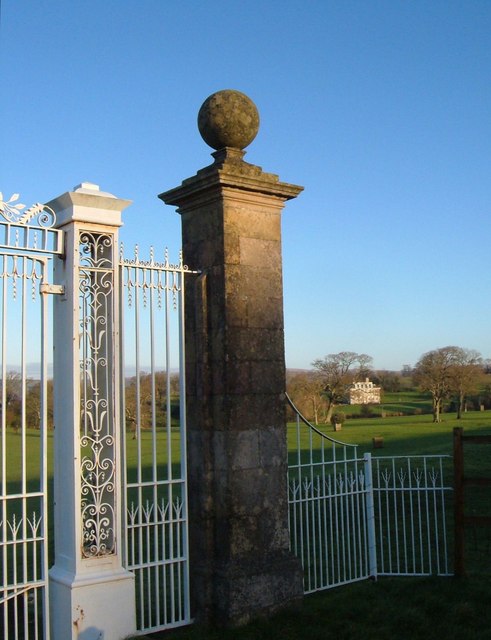
Historically, Yealmpton was an important market town, and evidence of its past can still be seen in the medieval church of St Bartholomew, which dates back to the 13th century. The village is known for its picturesque charm, with a mix of thatched cottages, Georgian houses, and traditional stone buildings.

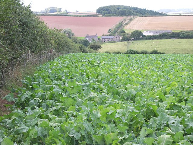
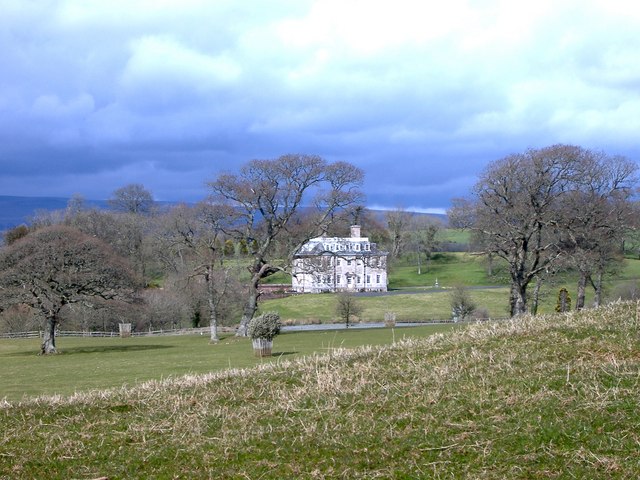
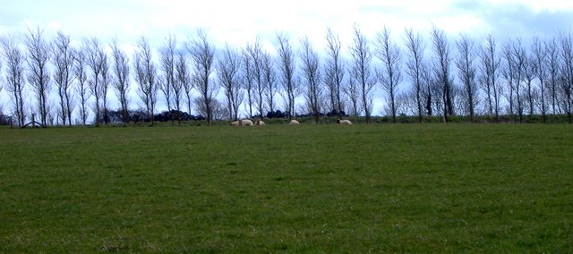
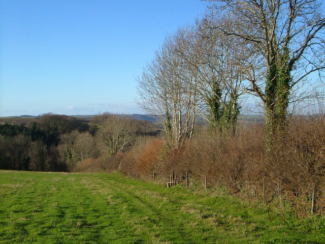
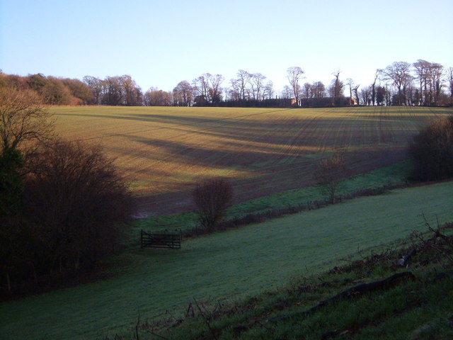
The local economy is primarily based on agriculture, with dairy farming and arable fields surrounding the village. In recent years, tourism has also become an important industry, attracting visitors who come to enjoy the natural beauty of the area and explore the nearby Dartmoor National Park.

Yealmpton offers a range of amenities and services, including a primary school, a post office, a village shop, and several pubs and restaurants. The village hosts various community events throughout the year, such as the Yealmpton Show, an agricultural show that showcases local produce and crafts.

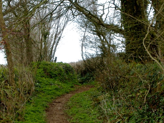
The surrounding countryside provides ample opportunities for outdoor activities, including hiking, cycling, and fishing. For those seeking a peaceful and idyllic setting, Yealmpton is a quintessential Devon village that offers a taste of rural life combined with easy access to both the coast and the bustling city of Plymouth.

If you have any feedback on the listing, please let us know in the comments section below.
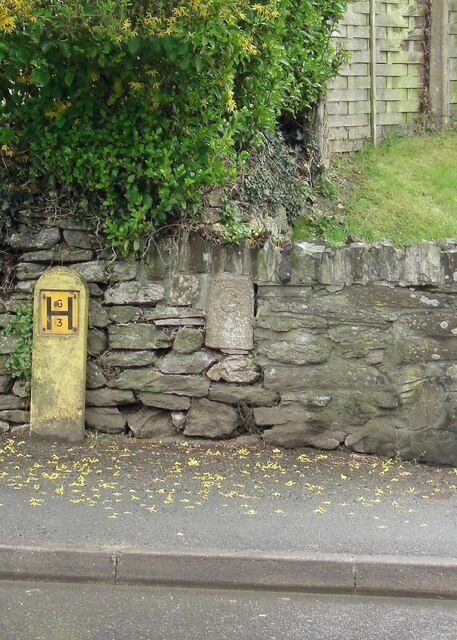
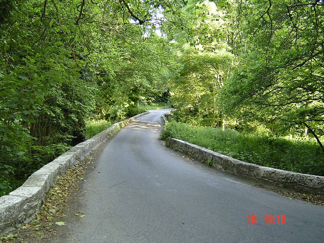
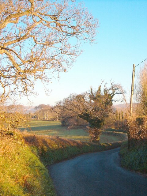
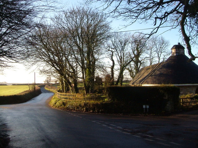
Yealmpton Images

Images are sourced within 2km of 50.352294/-3.991086 or Grid Reference SX5852. Thanks to Geograph Open Source API. All images are credited.

Old Bridge Marker on the B3186 in Yealmpton County Bridge Marker built into a stone wall off the ground and next to a fire hydrant on the west side of the B3186 Torr Hill 100 metres south of Torr Bridge, River Yealm. Yealmpton parish. Inscribed C to mark the extent of roadway adjoining the bridge that the County was obliged to maintain.

Milestone Society National ID: DV_TNPL16br
Old Bridge Marker on the B3186 in Yealmpton
County Bridge Marker built into a stone wall off the ground and next to a fire hydrant on the west side of the B3186 Torr Hill 100 metres south of Torr Bridge, River Yealm. Yealmpton parish. Inscribed C to mark the extent of roadway adjoining the bridge that the County was obliged to maintain. Milestone Society National ID: DV_TNPL16br
Bridge over River Yealm - South Devon
Mixed Agriculture near Crebar Farm This photograph was taken from the minor road in the north-east corner of the square and looks west across the northern side of the square.  The farm on the opposite side of the valley is called Crebar.
Mixed Agriculture near Crebar Farm
This photograph was taken from the minor road in the north-east corner of the square and looks west across the northern side of the square. The farm on the opposite side of the valley is called Crebar.
Dunstone The tiny village of Dunstone near Yealmpton.
Dunstone
The tiny village of Dunstone near Yealmpton.
Modern housing estate, Yealmpton Some of the more recent new houses in Yealmpton village on the valley floor near the river Yealm.  The old village centre itself is situated a little way above the flood plain.
Modern housing estate, Yealmpton
Some of the more recent new houses in Yealmpton village on the valley floor near the river Yealm. The old village centre itself is situated a little way above the flood plain.
Yealmpton Village Centre The centre of Yealmpton is dominated by the main road which carries a constant stream of traffic and splits the higher part of the village from the lower southern side.
Yealmpton Village Centre
The centre of Yealmpton is dominated by the main road which carries a constant stream of traffic and splits the higher part of the village from the lower southern side.
Lyneham House A fine house in a lovely setting
Lyneham House
A fine house in a lovely setting
Row of trees marking airstrip This row of trees marks the line of a disused airstrip.
Row of trees marking airstrip
This row of trees marks the line of a disused airstrip.
Lane near Cole Hill Plantation This is marked on the map as a "white" lane - which are often driveable - this one isn't !!!
Lane near Cole Hill Plantation
This is marked on the map as a "white" lane - which are often driveable - this one isn't !!!
Yeo Park A little clump of Council Houses (or at least they were originally), in the countryside near Yealmbridge.
Yeo Park
A little clump of Council Houses (or at least they were originally), in the countryside near Yealmbridge.
Cottage near Yealmbridge A quiet little spot at the end of a lane clustered near Yeo Farm.
The footpath goes into Allercombe Wood off to the North West.
Cottage near Yealmbridge
A quiet little spot at the end of a lane clustered near Yeo Farm. The footpath goes into Allercombe Wood off to the North West.
Violets in Devon Hedgerow Precisely which of the various species of British violets these are I'm not sure, but think that they're probably Viola riviniana, the Common Dog Violet
This is a link that may help you decide 
<span class="nowrap"><a title="http://www.floralimages.co.uk/page.php?taxon=viola_riviniana,1" rel="nofollow ugc noopener" href="http://www.floralimages.co.uk/page.php?taxon=viola_riviniana,1">Link</a><img style="margin-left:2px;" alt="External link" title="External link - shift click to open in new window" src="https://s1.geograph.org.uk/img/external.png" width="10" height="10"/></span>
Violets in Devon Hedgerow
Precisely which of the various species of British violets these are I'm not sure, but think that they're probably Viola riviniana, the Common Dog Violet This is a link that may help you decide LinkExternal link
Rough Torr Barn from Yealmpton Footpath 17 The barn was converted into a dwelling in 1986, its 150th anniversary year. The country house beyond, in a different square, is Puslinch. The wood on the right is Rough Torrs, and the shadows in the field are cast by trees along the lane from Two Crosses past the barn.
Rough Torr Barn from Yealmpton Footpath 17
The barn was converted into a dwelling in 1986, its 150th anniversary year. The country house beyond, in a different square, is Puslinch. The wood on the right is Rough Torrs, and the shadows in the field are cast by trees along the lane from Two Crosses past the barn.
Field near Yealmpton Yealmpton Footpath 15 crosses the stile into the next field on its way towards Torr and Yealmpton. Blowden Wood in the background is in the valley of a small tributary of the Yealm.
Field near Yealmpton
Yealmpton Footpath 15 crosses the stile into the next field on its way towards Torr and Yealmpton. Blowden Wood in the background is in the valley of a small tributary of the Yealm.
View near Lyneham Shadows across a field beside Lyneham Wood (left). The buildings beyond the trees on the horizon are in the grounds of <a href="https://www.geograph.org.uk/photo/149747">SX5753 : Lyneham House</a>. Seen from the lane near Efford.
View near Lyneham
Shadows across a field beside Lyneham Wood (left). The buildings beyond the trees on the horizon are in the grounds of SX5753 : Lyneham House. Seen from the lane near Efford.
Gate to Lyneham House There are several possible entrances to the grounds of <a href="https://www.geograph.org.uk/photo/149747">SX5753 : Lyneham House</a>, seen in the background. This one stands impressively on an open lane between Efford and Stonycross.
Gate to Lyneham House
There are several possible entrances to the grounds of SX5753 : Lyneham House, seen in the background. This one stands impressively on an open lane between Efford and Stonycross.
Lane near Treby Farm The lane from Stonycross to Choakford swings around bends as it approaches Treby Farm near Lyneham.
Lane near Treby Farm
The lane from Stonycross to Choakford swings around bends as it approaches Treby Farm near Lyneham.
Stonycross Lodge An interestingly shaped building beside a crossroads. The lane ahead leads to Yealmpton, the left lane to <a href="https://www.geograph.org.uk/photo/150208">SX5852 : Yeo Park</a>, and the right lane to Lyneham.
Stonycross Lodge
An interestingly shaped building beside a crossroads. The lane ahead leads to Yealmpton, the left lane to SX5852 : Yeo Park, and the right lane to Lyneham.
Show me another place!

Yealmpton is located at Grid Ref: SX5852 (Lat: 50.352294, Lng: -3.991086)

Administrative County: Devon

District: South Hams

Police Authority: Devon & Cornwall

What 3 Words

///organisms.dined.beanbag. Near Yealmpton, Devon

Nearby Locations

Yealmpton

Related Wikis

Yealmpton railway station

Yealmpton station was a stone built railway station in Devon, England, and was the terminus of the Plymouth to Yealmpton Branch built to the south and...

Stamford Fort

Stamford Fort is a 19th-century fort, built as a result of the Royal Commission on National Defence of 1859. Part of an extensive scheme known as Palmerston...

Yealmpton

Yealmpton () is a village and civil parish in the English county of Devon. It is located in the South Hams on the A379 Plymouth to Kingsbridge road and...
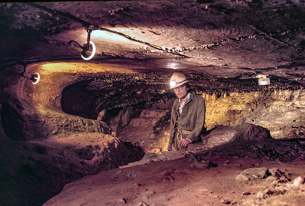
Kitley Show Cave

Kitley Show Cave is a solution cave in Yealmpton, Devon, England. Originally discovered by quarrying, it used to be open to the public as a show cave,...

Nearby Amenities

Located within 500m of 50.352294,-3.991086
Direction: 145
Generator Method: photovoltaic
Generator Output Electricity: yes
Generator Solar Modules: 15
Generator Source: solar
Generator Type: solar_photovoltaic_panel
Location: roof
Power: generator
Lat/Long: 50.3501649/-3.9950783
Direction: 165
Generator Method: photovoltaic
Generator Output Electricity: yes
Generator Solar Modules: 20
Generator Source: solar
Generator Type: solar_photovoltaic_panel
Location: roof
Power: generator
Lat/Long: 50.3491837/-3.9955669
Direction: 145
Generator Method: photovoltaic
Generator Output Electricity: yes
Generator Solar Modules: 12
Generator Source: solar
Generator Type: solar_photovoltaic_panel
Location: roof
Power: generator
Lat/Long: 50.3487165/-3.9947461
Direction: 150
Generator Method: photovoltaic
Generator Output Electricity: yes
Generator Solar Modules: 16
Generator Source: solar
Generator Type: solar_photovoltaic_panel
Location: roof
Power: generator
Lat/Long: 50.3497074/-3.9947349
Direction: 150
Generator Method: photovoltaic
Generator Output Electricity: yes
Generator Solar Modules: 4
Generator Source: solar
Generator Type: solar_photovoltaic_panel
Location: roof
Note: 4 v large panels, exact purpose unknown
Power: generator
Lat/Long: 50.3497238/-3.994749
Post Box
Brand: Royal Mail
Brand Wikidata: Q638098
Brand Wikipedia: en:Royal Mail
Collection Times: Mo-Sa 10:30; Su off
Drive Through: no
Operator: Royal Mail
Operator Wikidata: Q638098
Post Box Mounting: pier
Post Box Type: lamp
Ref: PL8 762
Royal Cypher: EIIR
Royal Cypher Wikidata: Q33102113
Source: survey;streetlevel imagery;aerial imagery
Lat/Long: 50.3538052/-3.9882357
Fire Hydrant
Emergency: fire_hydrant
Fire Hydrant Type: underground
Survey Date: 2022-03-12
Lat/Long: 50.3490864/-3.9957341
Street Lamp
Survey Date: 2022-03-12
Lat/Long: 50.3491862/-3.9958834
Street Lamp
Survey Date: 2022-03-12
Lat/Long: 50.3494822/-3.9959127
The data included in this document is from www.openstreetmap.org. The data is made available under ODbL.

Have you been to Yealmpton?

Leave your review of Yealmpton below (or comments, questions and feedback).