Wormleighton

Civil Parish in Warwickshire Stratford-on-Avon

England

Wormleighton

By Fenny Compton Wharf
By Fenny Compton Wharf Credit: David Howard

Wormleighton is a civil parish located in the county of Warwickshire, England. Situated in the Stratford-on-Avon district, the parish covers an area of approximately 1,500 acres. The village of Wormleighton is nestled in a picturesque rural setting, surrounded by rolling countryside, and is situated about 10 miles southeast of the town of Warwick.

The village has a long history and is mentioned in the Domesday Book, a survey of England completed in 1086. It was originally a medieval settlement with a manor house that dates back to the 13th century. The manor house, known as Wormleighton Manor, is a Grade I listed building and is considered one of the finest examples of Elizabethan architecture in Warwickshire.

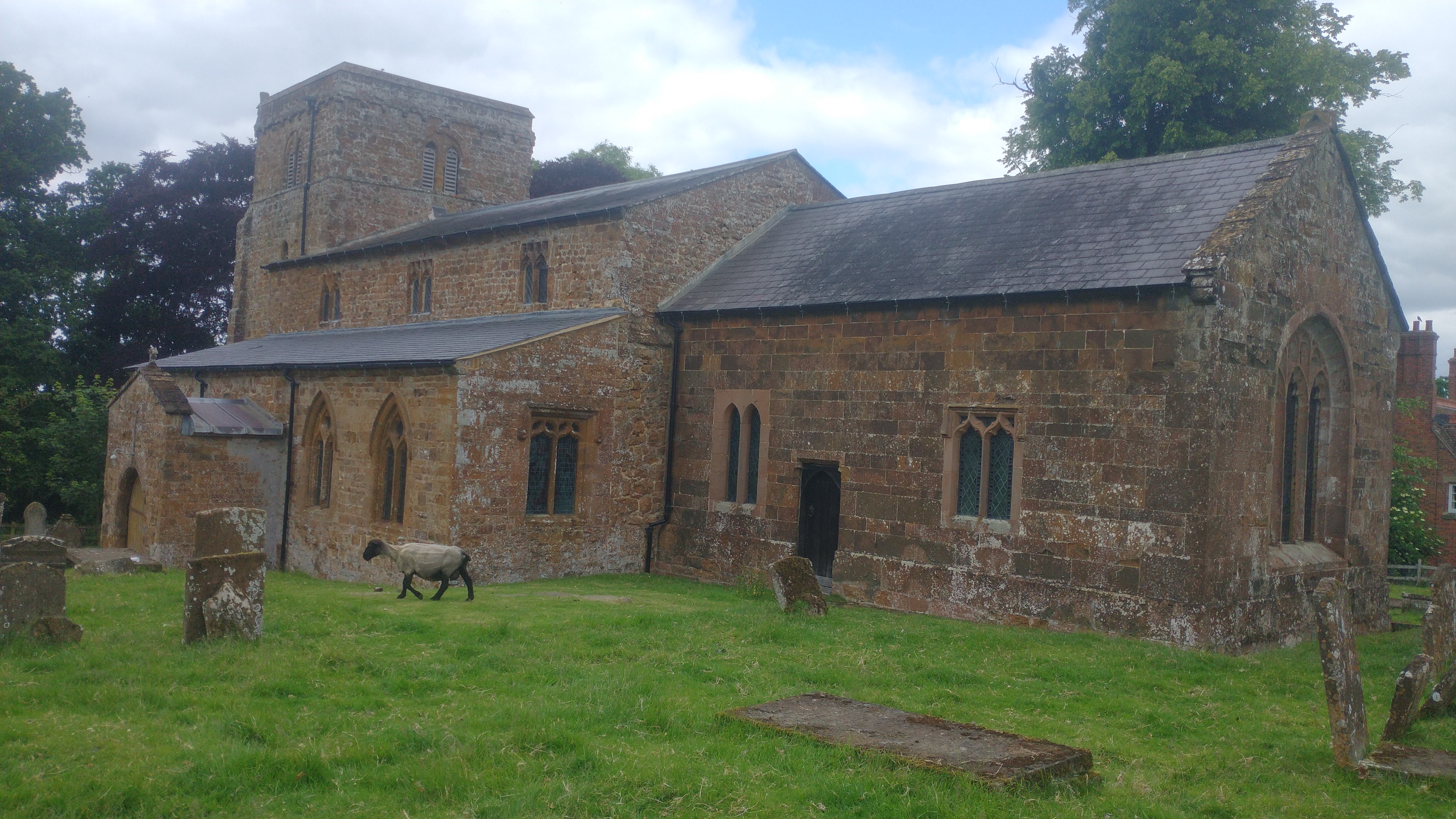
In addition to the manor house, Wormleighton is also home to St. Peter's Church, a charming medieval church that serves as the parish church. The church is known for its beautiful stained glass windows and historical significance.

Today, Wormleighton remains a small and tranquil village with a population of around 200 residents. The village is primarily residential, with a mix of traditional cottages and more modern houses. The surrounding countryside offers opportunities for outdoor activities such as walking, cycling, and horse riding, making Wormleighton an attractive destination for nature lovers and those seeking a peaceful rural retreat.

If you have any feedback on the listing, please let us know in the comments section below.
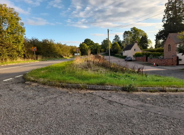
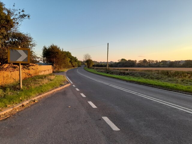
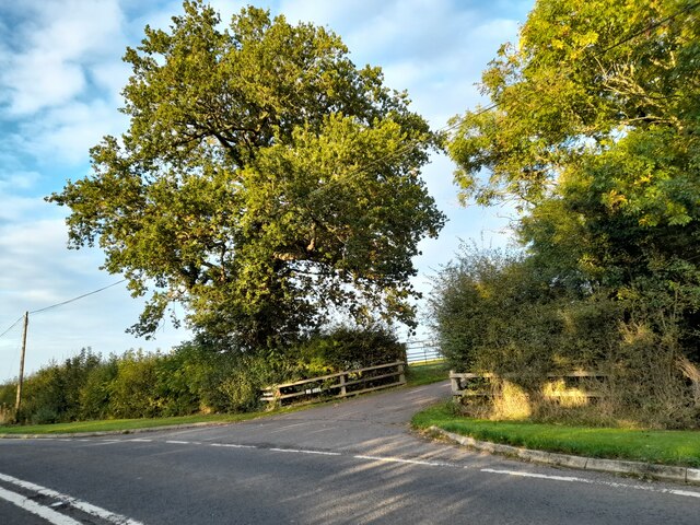
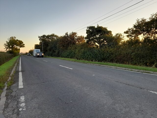
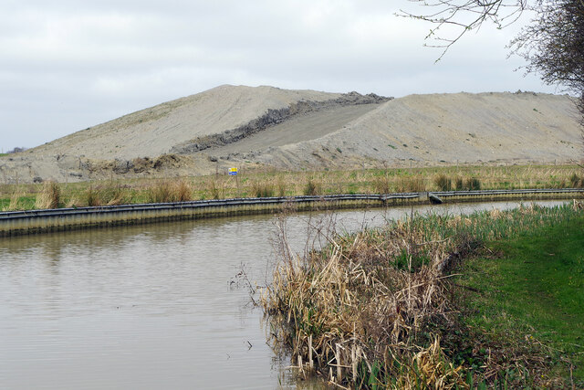
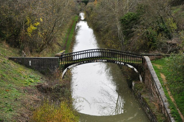
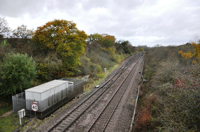
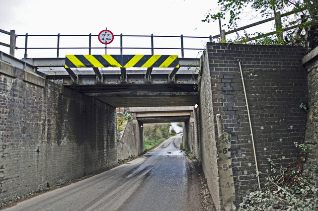
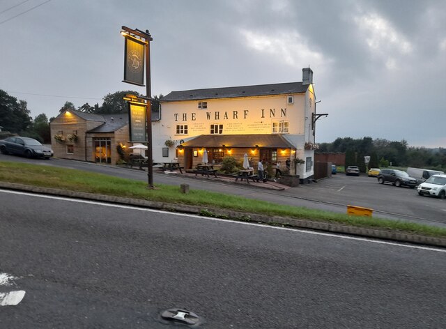
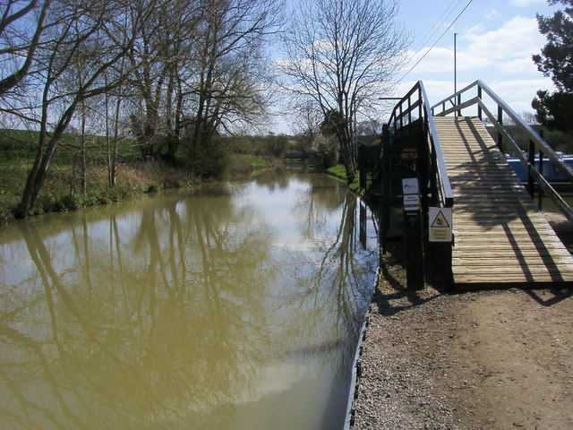
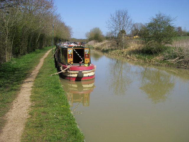
Wormleighton Images

Images are sourced within 2km of 52.181242/-1.352799 or Grid Reference SP4453. Thanks to Geograph Open Source API. All images are credited.

By Fenny Compton Wharf
Layby on Southam Road, Fenny Compton
Horse chestnut tree by Southam Road, Fenny Compton
The A423, Wormleighton The track heads to a number of farms
The A423, Wormleighton
The track heads to a number of farms
Banbury Road, Wormleighton
HS2 works beside the Oxford Canal A huge pile of earth has arisen here beside the canal near Stoneton Bridge. This will form the route of the new High Speed 2 railway. There was no sign of work being done in this Sunday view, however.
HS2 works beside the Oxford Canal
A huge pile of earth has arisen here beside the canal near Stoneton Bridge. This will form the route of the new High Speed 2 railway. There was no sign of work being done in this Sunday view, however.
The Turnover Bridge at 'The Tunnel' This cast-iron bridge on the Oxford Canal was installed to allow horses on the towpath to change from one side of the canal to the other.  Originally a narrow tunnel was built here, but it was opened out in later years to allow a better traffic flow along the route.  This part of the canal is still known as 'The Tunnel'.
The Turnover Bridge at 'The Tunnel'
This cast-iron bridge on the Oxford Canal was installed to allow horses on the towpath to change from one side of the canal to the other. Originally a narrow tunnel was built here, but it was opened out in later years to allow a better traffic flow along the route. This part of the canal is still known as 'The Tunnel'.
Fenny Compton South Junction This is the junction on the Great Western main line at Fenny Compton for the branch to the MOD Kineton army base.  This line is the remaining stub of the Stratford & Midland Junction Railway, a rambling group of cross-country lines that were closed in the 1960's.  The grey cabin is what now passes for a signalbox, the junction these days being controlled remotely from a signalling centre.
Fenny Compton South Junction
This is the junction on the Great Western main line at Fenny Compton for the branch to the MOD Kineton army base. This line is the remaining stub of the Stratford & Midland Junction Railway, a rambling group of cross-country lines that were closed in the 1960's. The grey cabin is what now passes for a signalbox, the junction these days being controlled remotely from a signalling centre.
Station Road Fenny Compton Station Road passes beneath the Great Western main line in the foreground and the Kineton MOD branch in the background.  This is the last remnant of the Stratford & Midland Junction Railway, most of which was closed in the 1960's.  Fenny Compton had two stations on the left of the road, one for each railway as there was no physical connection between them save for a siding, so through running was not possible.  The branch is nowadays connected to the main line at Fenny Compton South Junction to allow access to the MOD branch.
Station Road Fenny Compton
Station Road passes beneath the Great Western main line in the foreground and the Kineton MOD branch in the background. This is the last remnant of the Stratford & Midland Junction Railway, most of which was closed in the 1960's. Fenny Compton had two stations on the left of the road, one for each railway as there was no physical connection between them save for a siding, so through running was not possible. The branch is nowadays connected to the main line at Fenny Compton South Junction to allow access to the MOD branch.
Bridge identification plate All railway bridges carry a plate denoting their number (according to the line where it is situated) and the distance it is from the start of the line, shown in miles and chains (1 chain = 22 yards). This bridge over Station Road, Fenny Compton is No.62 and it is 22 miles 42 chains from the start of the line, in this case Blisworth where the Stratford & Midland Junction Railway had one of its starting points on the L&NWR (West Coast) Main Line in Northamptonshire. These days the lines are coded by Network Rail to denote which line is which anywhere in the country.  In this case, the Network Rail number is SJT1 62. As well as lines in use, Network Rail is also responsible for disused bridges over or under closed lines, so these are all numbered in their system, too.
Bridge identification plate
All railway bridges carry a plate denoting their number (according to the line where it is situated) and the distance it is from the start of the line, shown in miles and chains (1 chain = 22 yards). This bridge over Station Road, Fenny Compton is No.62 and it is 22 miles 42 chains from the start of the line, in this case Blisworth where the Stratford & Midland Junction Railway had one of its starting points on the L&NWR (West Coast) Main Line in Northamptonshire. These days the lines are coded by Network Rail to denote which line is which anywhere in the country. In this case, the Network Rail number is SJT1 62. As well as lines in use, Network Rail is also responsible for disused bridges over or under closed lines, so these are all numbered in their system, too.
The Wharf Inn, Fenny Compton
Banbury Road, Fenny Compton
Layby on Southam Road, Fenny Compton Here is my previous visit. <a title="https://www.geograph.org.uk/photo/6996683" href="https://www.geograph.org.uk/photo/6996683">Link</a>
Layby on Southam Road, Fenny Compton
Here is my previous visit. Link
Oxford Canal Overflow down into the Oxford Canal
Oxford Canal
Overflow down into the Oxford Canal
Oxford Canal Walk Oxford Canal Walk at Fenny Compton Turnover Bridge No 137a
Oxford Canal Walk
Oxford Canal Walk at Fenny Compton Turnover Bridge No 137a
Oxford Canal Walk Oxford Canal Walk at Fenny Compton Marina
Oxford Canal Walk
Oxford Canal Walk at Fenny Compton Marina
Oxford Canal Walk Oxford Canal Walk heading to Fenny Compton Wharf
Oxford Canal Walk
Oxford Canal Walk heading to Fenny Compton Wharf
Show me another place!

Wormleighton is located at Grid Ref: SP4453 (Lat: 52.181242, Lng: -1.352799)

Administrative County: Warwickshire

District: Stratford-on-Avon

Police Authority: Warwickshire

What 3 Words

///kidney.passively.crucially. Near Claydon, Oxfordshire

Related Wikis

Wormleighton

Wormleighton is a village in Warwickshire on top of Wormleighton Hill overlooking the River Cherwell, England. The population taken at the 2011 census...

Wormleighton Manor

Wormleighton Manor is a manor house in the civil parish of Wormleighton in the historic county of Warwickshire, England. It belonged to the wealthy Spencer...

Fenny Compton West railway station

Fenny Compton West railway station was a railway station serving Fenny Compton in the English county of Warwickshire. == History == It was opened by East...

Fenny Compton railway station

Fenny Compton railway station was a railway station serving Fenny Compton in Warwickshire, England. == History == The Great Western Railway opened the...

Nearby Amenities

Located within 500m of 52.181242,-1.352799
Barrier: footgate
Lat/Long: 52.1832979/-1.3463326
Foot: yes
Lat/Long: 52.1839798/-1.3498456
Power: pole
Lat/Long: 52.1769813/-1.3548914
Power: pole
Lat/Long: 52.1776746/-1.3549377
Power: pole
Lat/Long: 52.1778097/-1.354995
Power: pole
Lat/Long: 52.1783057/-1.3550898
Power: pole
Lat/Long: 52.1787679/-1.3555725
Power: pole
Lat/Long: 52.1791656/-1.3548115
Power: pole
Lat/Long: 52.1795315/-1.3540983
The data included in this document is from www.openstreetmap.org. The data is made available under ODbL.

Have you been to Wormleighton?

Leave your review of Wormleighton below (or comments, questions and feedback).