Udimore
Civil Parish in Sussex Rother
England
Udimore
Udimore is a civil parish located in the Rother district of East Sussex, England. It is situated about two miles southeast of the town of Rye and approximately 60 miles southeast of London. The parish covers an area of about 7.5 square kilometers and is surrounded by scenic countryside, offering breathtaking views of the High Weald Area of Outstanding Natural Beauty.
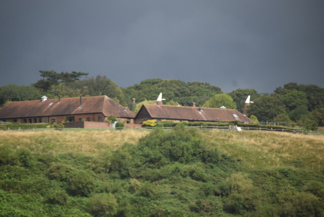
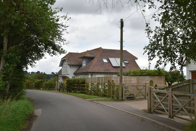
The village of Udimore itself is small and quaint, with a population of around 300 people. It is characterized by its traditional English charm, with a collection of beautiful historic buildings, including the 12th-century Church of St. Mary. The church, with its striking spire, is a prominent feature of the village and is known for its architectural significance.
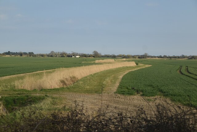
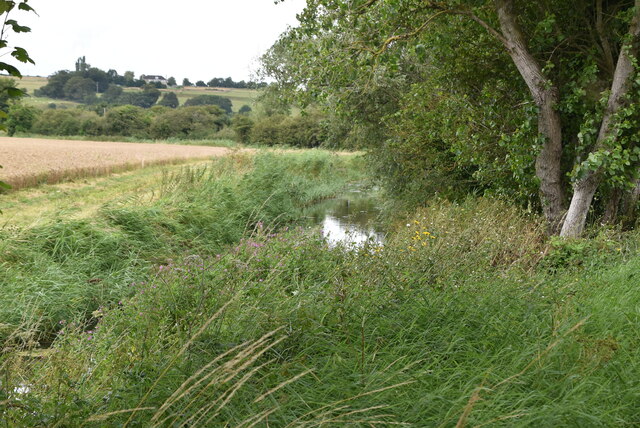
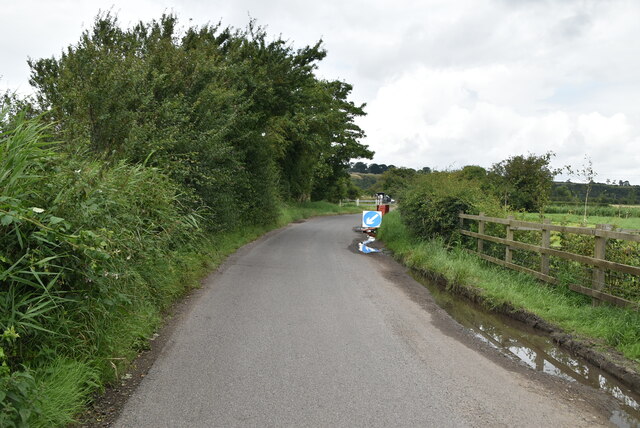
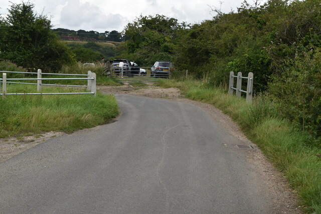
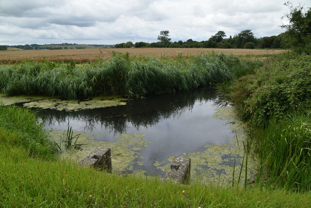
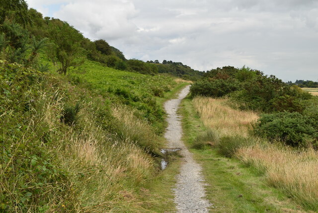
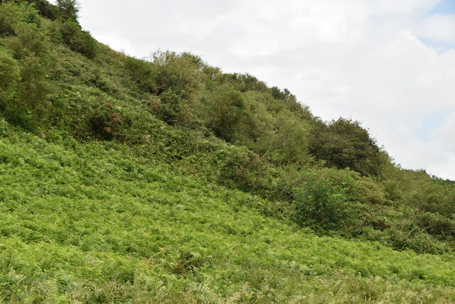
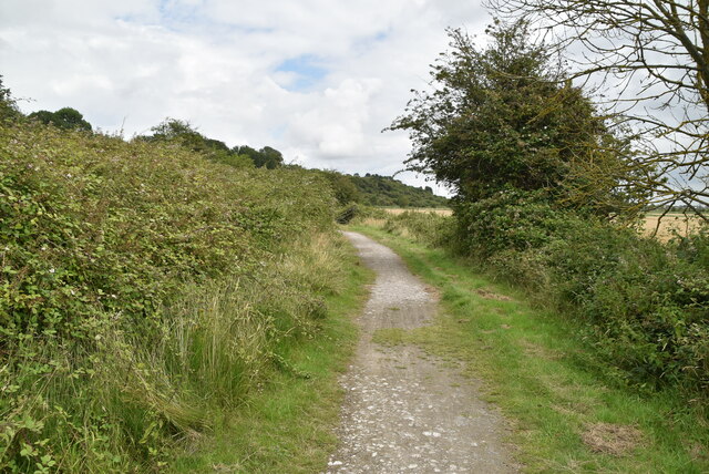
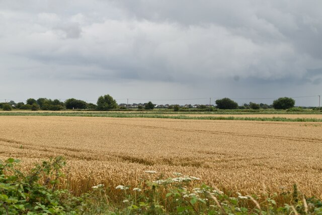
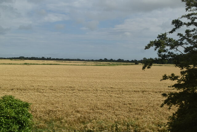
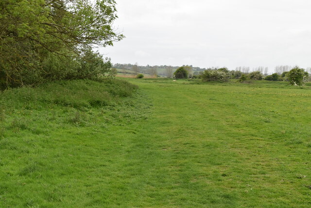
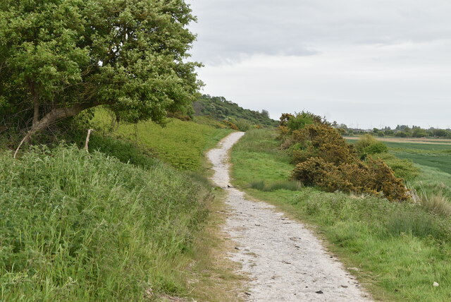
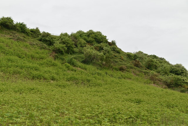
The parish is primarily rural, with a landscape of rolling hills, farmland, and woodlands. It is a haven for wildlife, and nature lovers can enjoy walks along the numerous footpaths and bridleways that crisscross the area. Udimore is also home to several nature reserves, including the Rye Harbour Nature Reserve, which is renowned for its diverse bird population.
The village has limited amenities, with a local pub and a village hall serving as the community's focal points. Many residents commute to nearby towns for work and shopping, while others are engaged in agriculture and small-scale businesses.
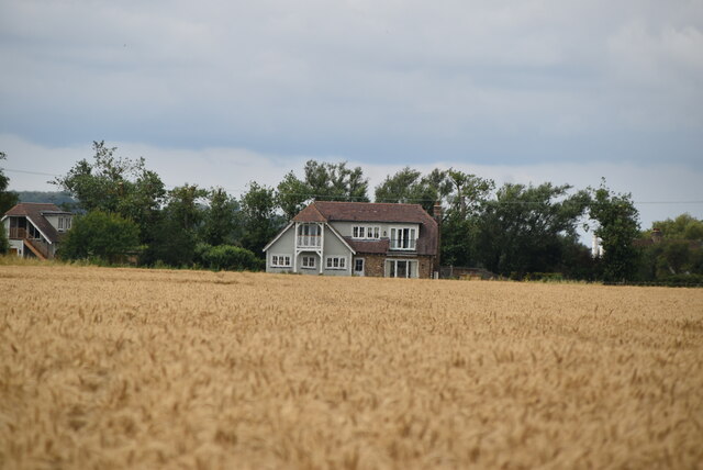
Udimore offers a peaceful and idyllic setting, making it an attractive place for those seeking a rural retreat or a base for exploring the surrounding countryside. Its rich history, natural beauty, and close-knit community make it a hidden gem in the heart of Sussex.
If you have any feedback on the listing, please let us know in the comments section below.
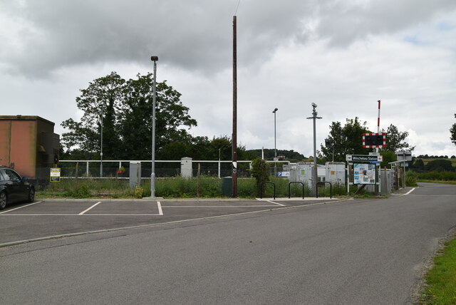
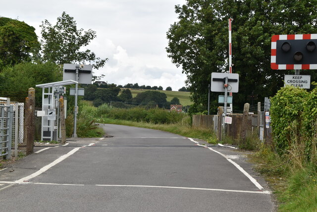
Udimore Images
Images are sourced within 2km of 50.939066/0.680839 or Grid Reference TQ8818. Thanks to Geograph Open Source API. All images are credited.
Udimore is located at Grid Ref: TQ8818 (Lat: 50.939066, Lng: 0.680839)
Administrative County: East Sussex
District: Rother
Police Authority: Sussex
What 3 Words
///prowl.immune.crafts. Near Winchelsea Beach, East Sussex
Nearby Locations
Related Wikis

Udimore
Udimore is a village and civil parish in the Rother district of East Sussex, England. It is located five miles (8 km) west of Rye on the B2089 road to...
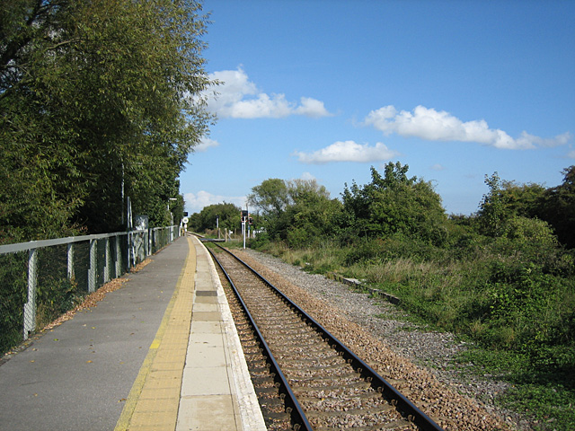
Winchelsea railway station
Winchelsea railway station is a railway station in East Sussex, England. It is about 0.62 miles (1 km) from Winchelsea and is actually in the neighbouring...

St Leonard's Mill, Winchelsea
St Leonard's mill was a post mill at Winchelsea, East Sussex, England which was blown down in the Great Storm of 1987. == History == St Leonard's Mill...

Icklesham
Icklesham is a village and civil parish in the Rother district of East Sussex, England. The village is located about six miles (10 km) east of Hastings...

Blackfriars, Winchelsea
Blackfriars, Winchelsea, was a Dominican priory in Winchelsea, East Sussex, England. The friary was established in 1318 by Edward II on the outskirts of...

Winchelsea
Winchelsea () is a town in the county of East Sussex, England, located between the High Weald and the Romney Marsh, approximately 2 miles (3.2 km) south...

Winchelsea Court Hall
Winchelsea Court Hall, formerly known as the Water Bailiff's Prison, is a municipal building in the High Street in Winchelsea, East Sussex, England. The...

The Armoury, Winchelsea
The Armoury is a Grade II* listed building in Winchelsea, East Sussex England. == History and architecture == The Armoury is a medieval building on Castle...
Nearby Amenities
Located within 500m of 50.939066,0.680839Have you been to Udimore?
Leave your review of Udimore below (or comments, questions and feedback).