Strensall with Towthorpe
Civil Parish in Yorkshire
England
Strensall with Towthorpe
Strensall with Towthorpe is a civil parish located in the county of Yorkshire, England. It is situated approximately 6 miles north-east of the city of York. The parish encompasses the villages of Strensall and Towthorpe, along with surrounding rural areas.
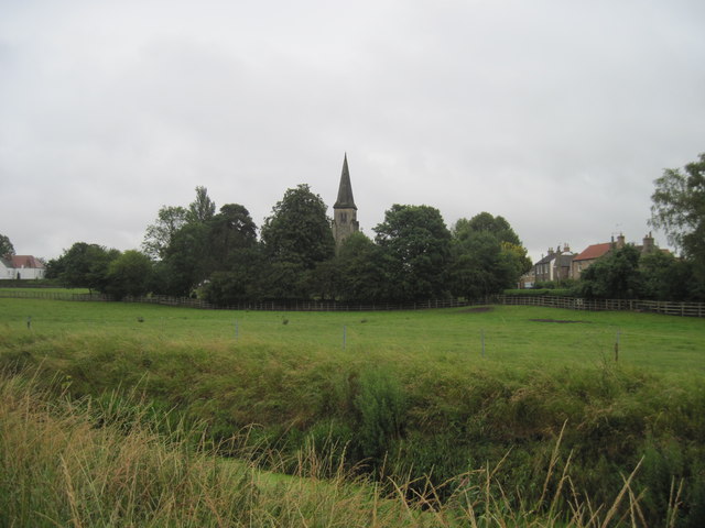
Strensall is a peaceful village known for its charming countryside and historic buildings. It has a population of around 5,000 residents. The village is home to St Mary's Church, a beautiful medieval structure that dates back to the 12th century. The presence of this church adds to the village's picturesque appeal.
Towthorpe, on the other hand, is a smaller village within the parish, with a population of around 300 residents. It is situated about a mile north of Strensall. Towthorpe is known for its tranquil atmosphere and lovely countryside views. The village has a close-knit community, and the residents often engage in various social activities.
Strensall with Towthorpe benefits from its close proximity to the city of York, providing easy access to its amenities and services. The parish has good transport links, with regular bus services connecting it to York and other nearby towns.
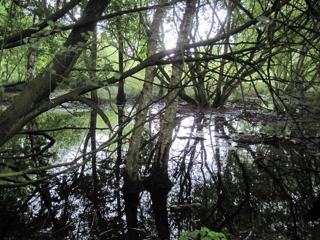
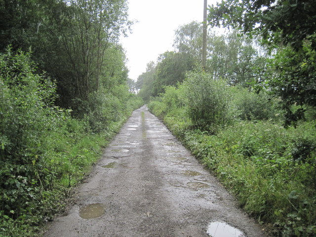
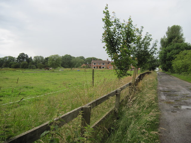
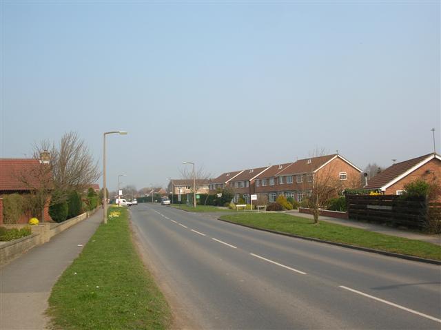
The area surrounding Strensall with Towthorpe is characterized by rolling hills, lush farmland, and small woodlands. It is a perfect location for those seeking a peaceful rural lifestyle while still being close to urban conveniences. The parish offers a range of housing options, from quaint cottages to modern developments, catering to a diverse population.
If you have any feedback on the listing, please let us know in the comments section below.
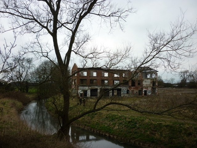
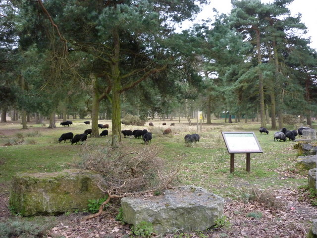
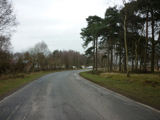
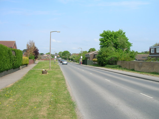
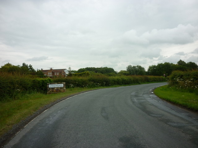
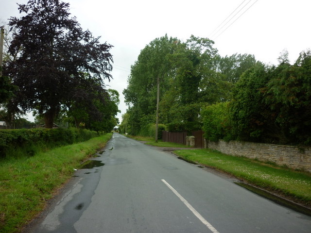
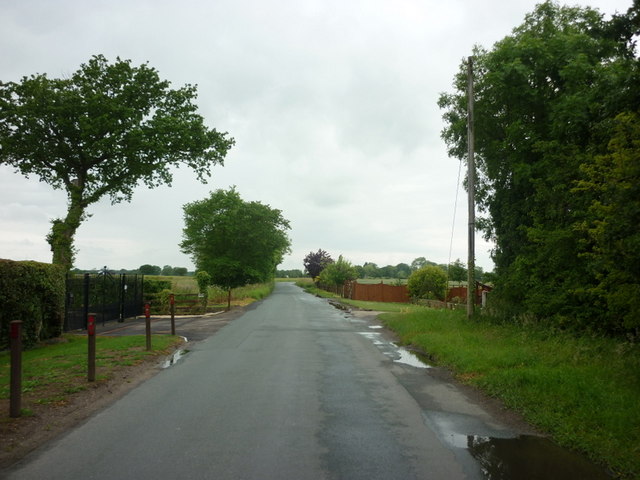
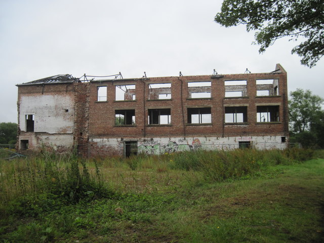
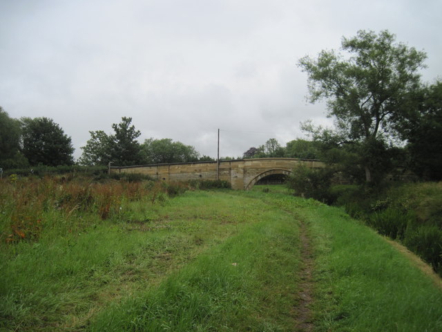
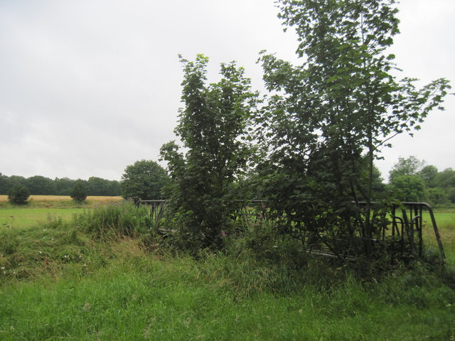
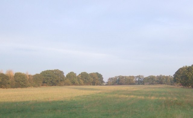
Strensall with Towthorpe Images
Images are sourced within 2km of 54.036492/-1.027463 or Grid Reference SE6360. Thanks to Geograph Open Source API. All images are credited.
Strensall with Towthorpe is located at Grid Ref: SE6360 (Lat: 54.036492, Lng: -1.027463)
Division: North Riding
Unitary Authority: York
Police Authority: North Yorkshire
What 3 Words
///templates.ruffling.supple. Near Strensall, North Yorkshire
Nearby Locations
Related Wikis

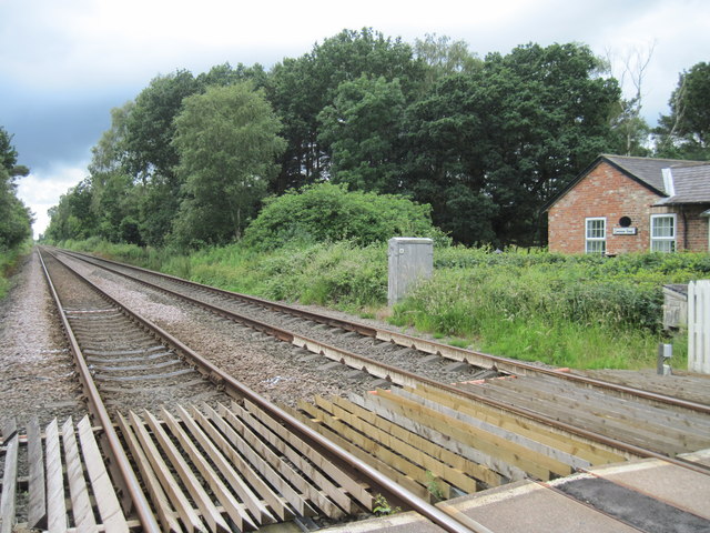
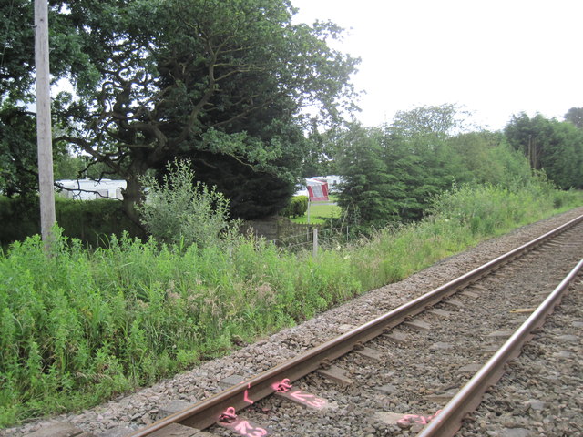
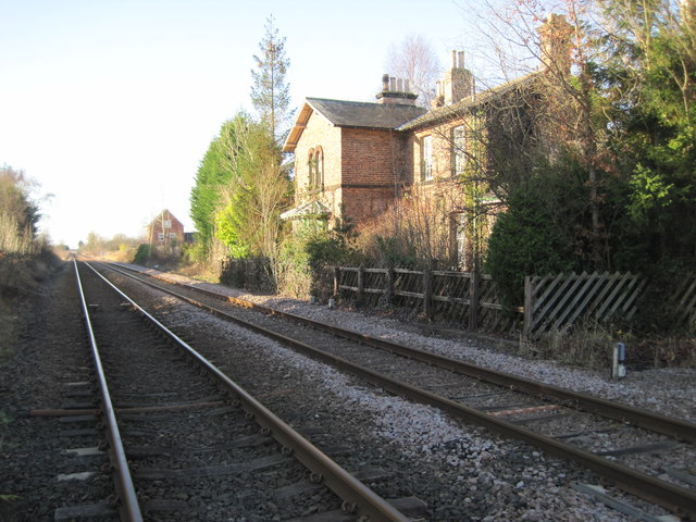
Strensall railway station
Strensall railway station was a minor railway station serving the village of Strensall in North Yorkshire, England. == History == It is situated on the...

Strensall Halt railway station
Strensall Halt railway station was a minor railway station serving the village of Strensall in North Yorkshire, England. It was situated on the York to...
Strensall
Strensall is a village in the Strensall with Towthorpe civil parish in the unitary authority of the City of York in North Yorkshire, England, on the River...

Strensall with Towthorpe
Strensall with Towthorpe is a civil parish in the unitary authority area of the City of York in North Yorkshire, England. According to the 2011 census...
Nearby Amenities
Located within 500m of 54.036492,-1.027463Have you been to Strensall with Towthorpe?
Leave your review of Strensall with Towthorpe below (or comments, questions and feedback).