Ruscombe
Civil Parish in Berkshire
England
Ruscombe
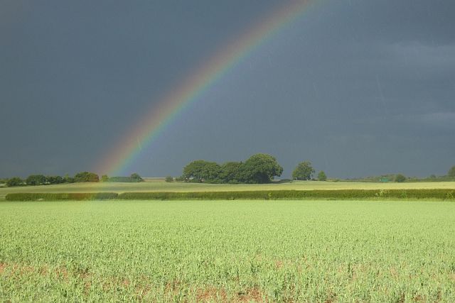
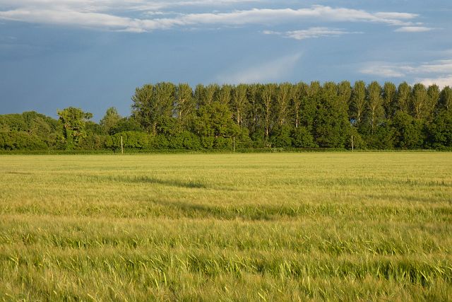
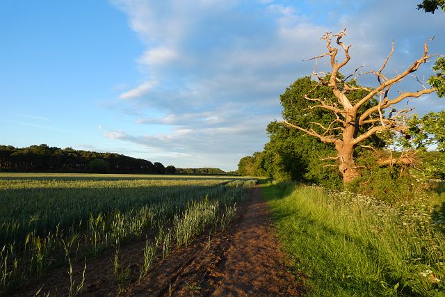
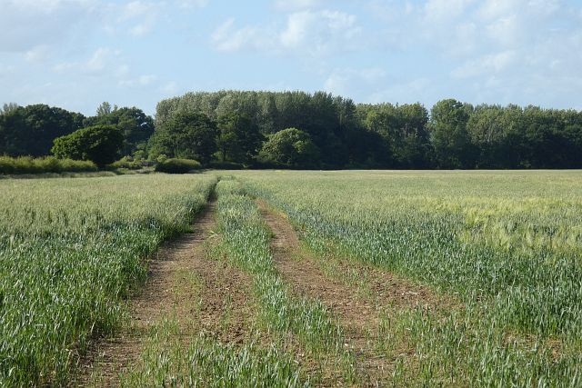
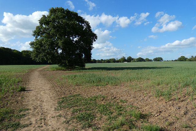
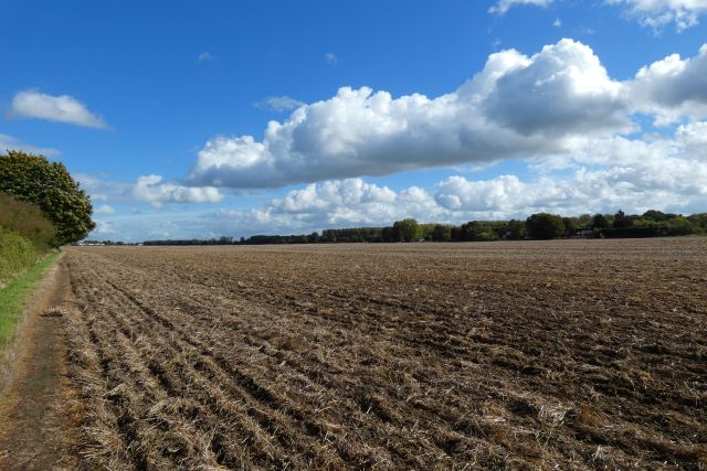
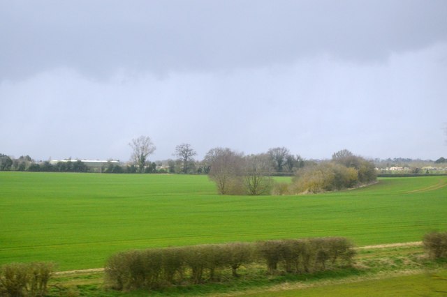
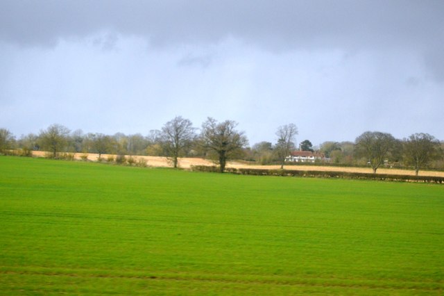
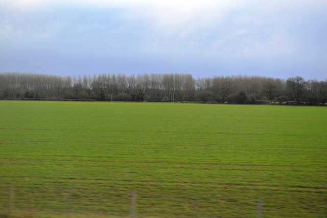
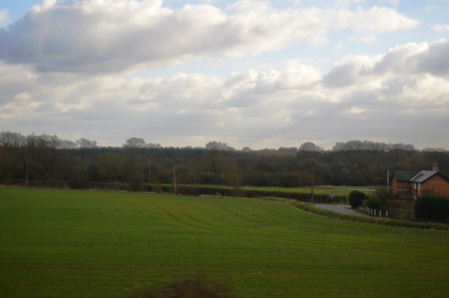
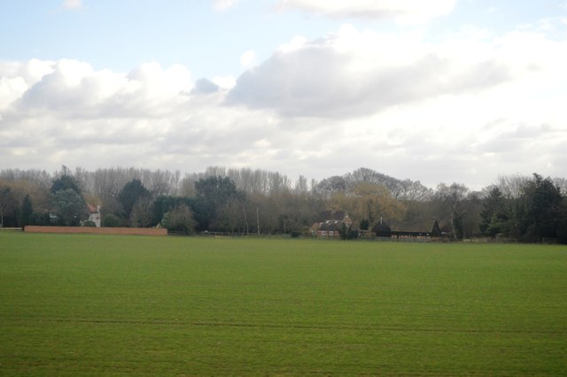
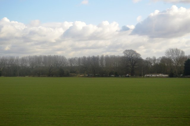
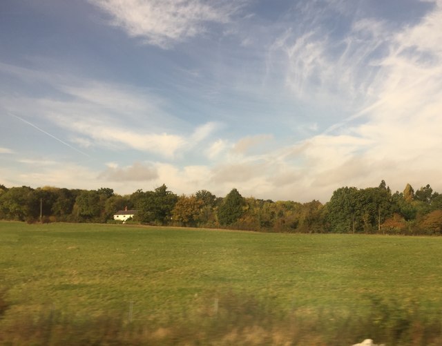
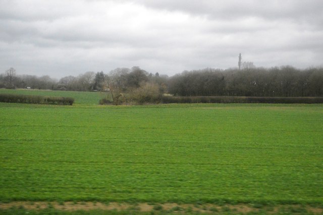
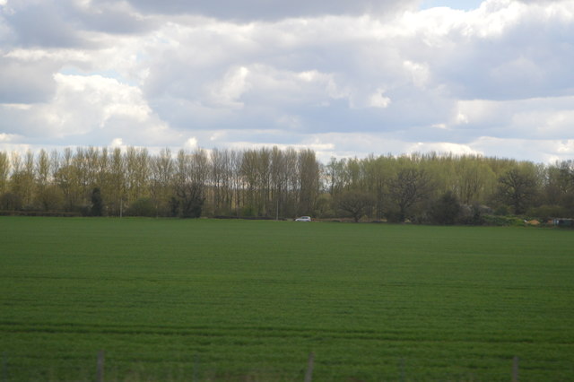
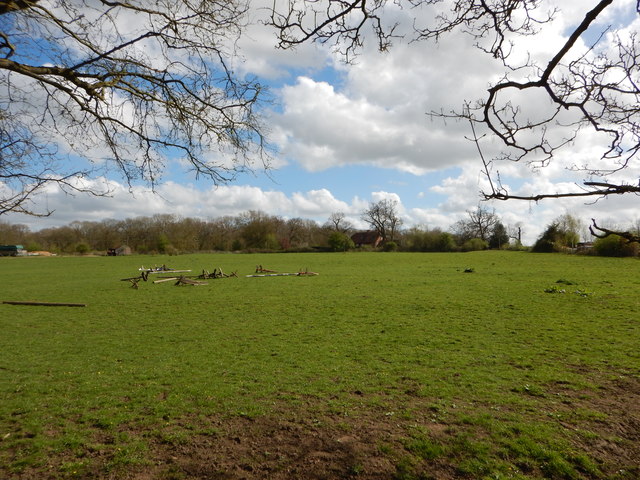
Ruscombe is a civil parish located in the county of Berkshire, England. It is situated approximately 3 miles southeast of the town of Twyford and about 7 miles northeast of the city of Reading. The parish covers an area of around 4 square miles and is predominantly rural in nature, characterized by open farmland and small pockets of woodland.
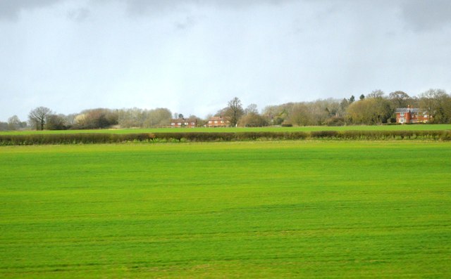
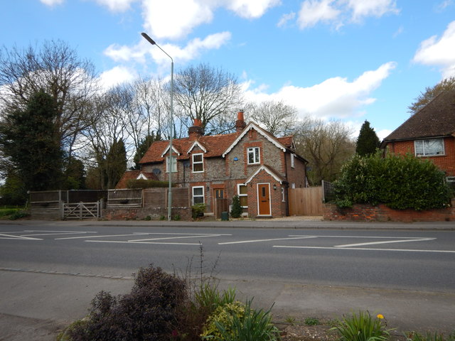
The village of Ruscombe itself is a small settlement with a population of around 1,000 residents. It boasts a picturesque countryside setting, with charming cottages and historic buildings dotting the landscape. The local community is tight-knit and has a friendly, welcoming atmosphere.
The parish is well-connected, with good transport links to nearby towns and cities. The A329(M) motorway runs through the southern part of the parish, providing easy access to Reading and the wider road network. The closest railway station is Twyford, which offers regular train services to London, Reading, and other major destinations.
Ruscombe is home to several notable landmarks and attractions. One such landmark is the Grade II listed All Saints Church, a beautiful medieval church dating back to the 13th century. The church features stunning architecture and is a popular destination for history enthusiasts and visitors seeking a tranquil place for reflection.
Overall, Ruscombe offers a peaceful and idyllic setting for those looking to escape the hustle and bustle of urban life. With its rural charm and close proximity to amenities, it is a desirable place to live for those seeking a countryside lifestyle within easy reach of larger towns and cities.
If you have any feedback on the listing, please let us know in the comments section below.
Ruscombe Images
Images are sourced within 2km of 51.479617/-0.842275 or Grid Reference SU8076. Thanks to Geograph Open Source API. All images are credited.
Ruscombe is located at Grid Ref: SU8076 (Lat: 51.479617, Lng: -0.842275)
Unitary Authority: Wokingham
Police Authority: Thames Valley
What 3 Words
///finishers.sometime.laces. Near Twyford, Berkshire
Nearby Locations
Related Wikis

Ruscombe
Ruscombe is a village and civil parish, east of Twyford in the Borough of Wokingham in Berkshire, England. == History == Reports from the late 1800s provided...

Stanlake Park Wine Estate
Stanlake Park Wine Estate is the largest vineyard in the English county of Berkshire. It is situated near to Twyford, in the parishes of Hurst and Ruscombe...

Twyford railway station
Twyford railway station serves the large village of Twyford in Berkshire, England. The station is on the Great Western Main Line, 31 miles 1 chain (31...
Hare Hatch
Hare Hatch is a village in Berkshire, England, and part of the civil parish of Ruscombe. According to the Post Office the majority of the population at...

Twyford, Berkshire
Twyford is a large village and civil parish in the Borough of Wokingham in Berkshire, England. It had a population of 6,618 in the 2011 Census. It is in...

Twyford Brook
Twyford Brook is a small English river in the county of Berkshire. It drains a rural area to the east of Twyford, starting at the foot of the M4 motorway...

Loddon Nature Reserve
Loddon Nature Reserve is a 14-hectare (35-acre) nature reserve on the edge of the village of Twyford in Berkshire. It is managed by the Berkshire, Buckinghamshire...
Kiln Green
Kiln Green is a small village in the civil parish of Wargrave in the English county of Berkshire. It is at grid reference SU813784 on the A4 Bath Road...
Nearby Amenities
Located within 500m of 51.479617,-0.842275Have you been to Ruscombe?
Leave your review of Ruscombe below (or comments, questions and feedback).