Roxton
Civil Parish in Bedfordshire
England
Roxton
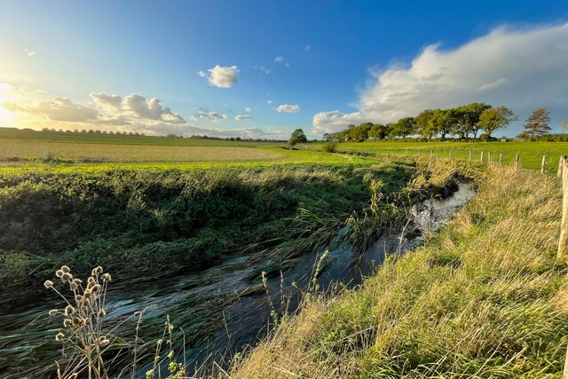
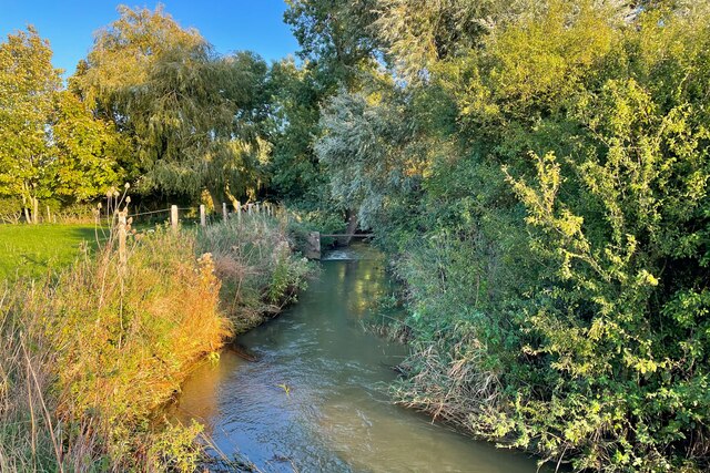
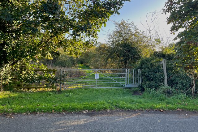
Roxton is a civil parish located in the county of Bedfordshire, England. It is situated approximately 7 miles south-west of the town of Bedford and covers an area of around 1,200 acres. The parish is surrounded by picturesque countryside, with the River Great Ouse flowing nearby.
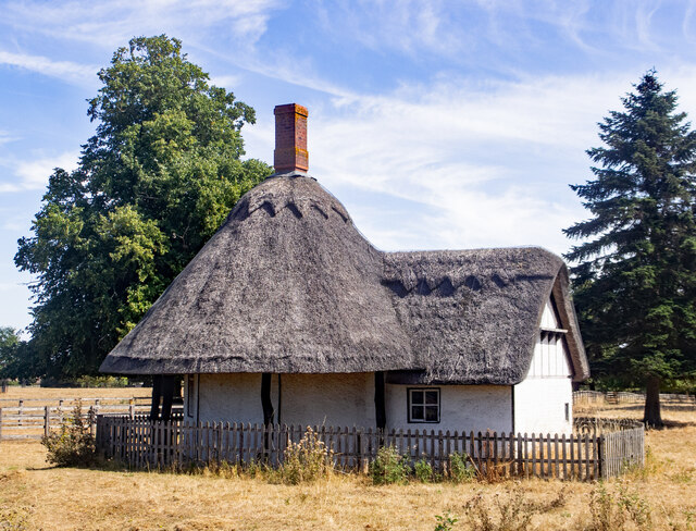
Roxton is a small village with a population of around 500 people. It has a rich history, dating back to the Domesday Book in 1086, where it was recorded as "Rochesdone." The village has retained its traditional charm, with many of its buildings displaying architectural features from different periods, including thatched cottages and timber-framed houses.
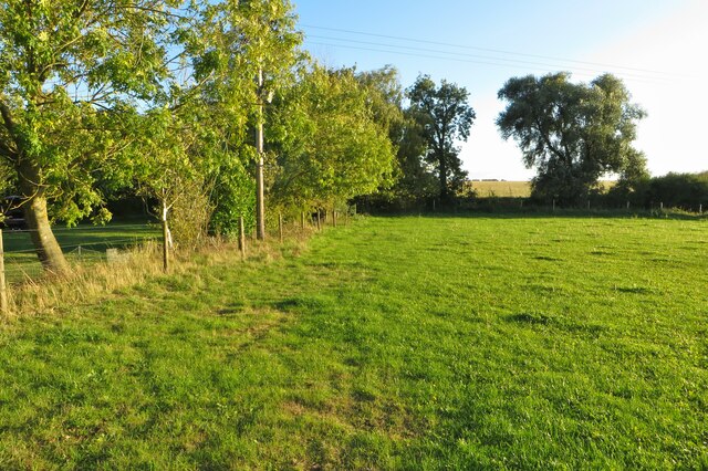
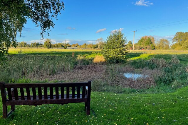
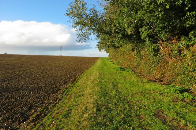
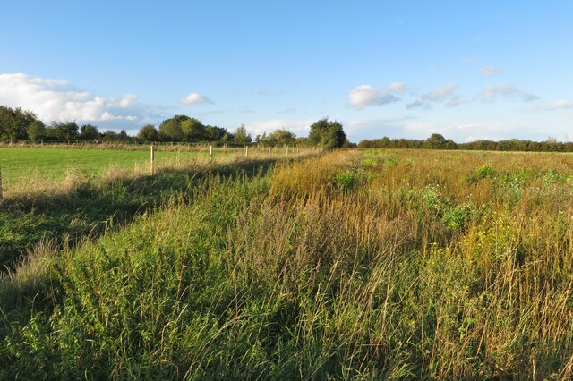
The parish is mainly rural, with much of its land dedicated to agriculture. Farms and fields dot the landscape, contributing to the village's scenic beauty. The village also benefits from the nearby Roxton Garden Centre, which provides a range of gardening supplies and plants.
Roxton is a close-knit community with a strong sense of community spirit. It has a small village hall, used for various social and recreational activities, and a local church, St Mary Magdalene, which dates back to the 14th century.
Although Roxton is a relatively quiet village, it is well-connected to nearby towns and cities. The A1 road runs nearby, providing convenient access to Bedford, Cambridge, and London.
In summary, Roxton is a charming and historic civil parish in Bedfordshire, offering a tranquil rural setting, a close-knit community, and easy access to nearby amenities.
If you have any feedback on the listing, please let us know in the comments section below.
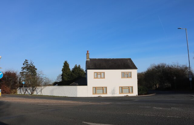
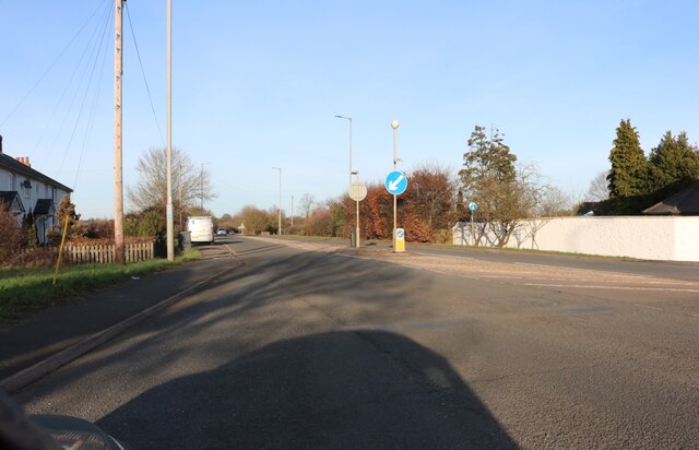
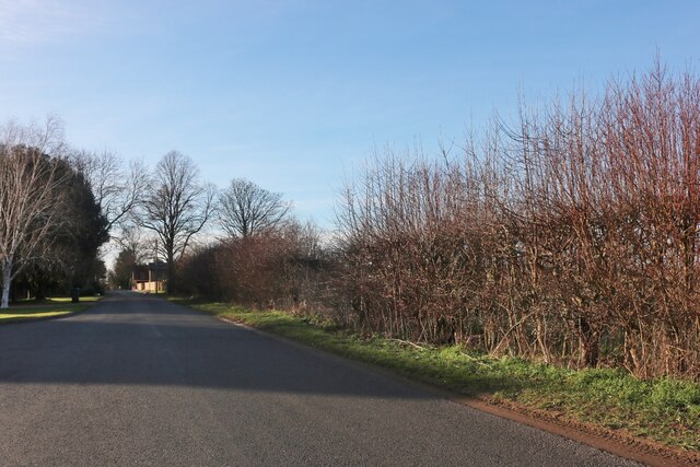
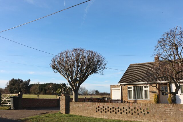
Roxton Images
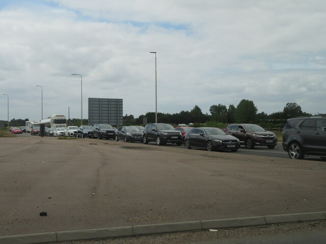
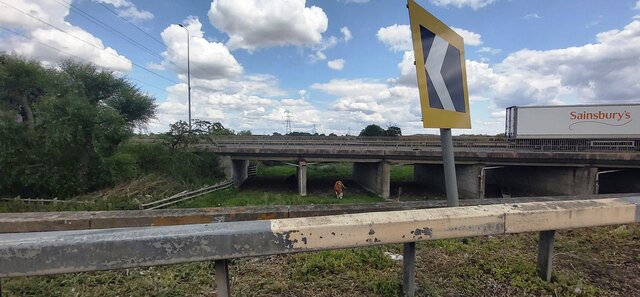
Images are sourced within 2km of 52.17612/-0.311437 or Grid Reference TL1554. Thanks to Geograph Open Source API. All images are credited.
Roxton is located at Grid Ref: TL1554 (Lat: 52.17612, Lng: -0.311437)
Unitary Authority: Bedford
Police Authority: Bedfordshire
What 3 Words
///tidy.warping.committed. Near Roxton, Bedfordshire
Related Wikis

Roxton, Bedfordshire
Roxton is a small village and civil parish in the Borough of Bedford, Bedfordshire, England about 7 miles (11 km) north-east of the county town of Bedford...

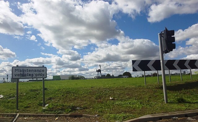
Black Cat Roundabout
Black Cat Roundabout is on the junction between the A1 and A421 (formerly A428) Bedford road just south of St Neots. It was reconstructed in 2005-6 as...
Battle of Tempsford
In 917, the group of Danes who had previously been based in Huntingdon relocated to Tempsford in Bedfordshire, together with other Danes from East Anglia...

Tempsford
Tempsford is a village and civil parish in the Central Bedfordshire district of the county of Bedfordshire, England, about 7 miles (11 km) east north-east...
Nearby Amenities
Located within 500m of 52.17612,-0.311437Have you been to Roxton?
Leave your review of Roxton below (or comments, questions and feedback).