Rolleston
Civil Parish in Nottinghamshire Newark and Sherwood
England
Rolleston
Rolleston is a civil parish located in the county of Nottinghamshire, England. It is situated approximately 6 miles southwest of the town of Newark-on-Trent and covers an area of around 7 square miles. The parish is home to a population of approximately 1,000 people.
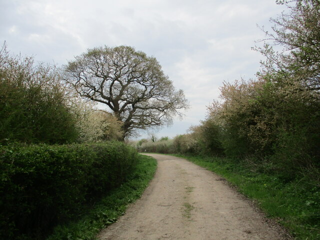
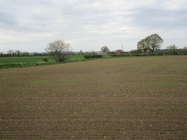
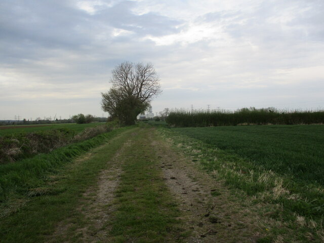
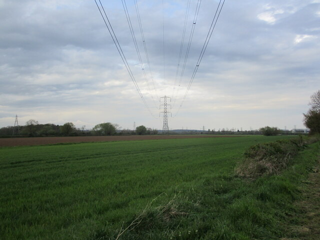
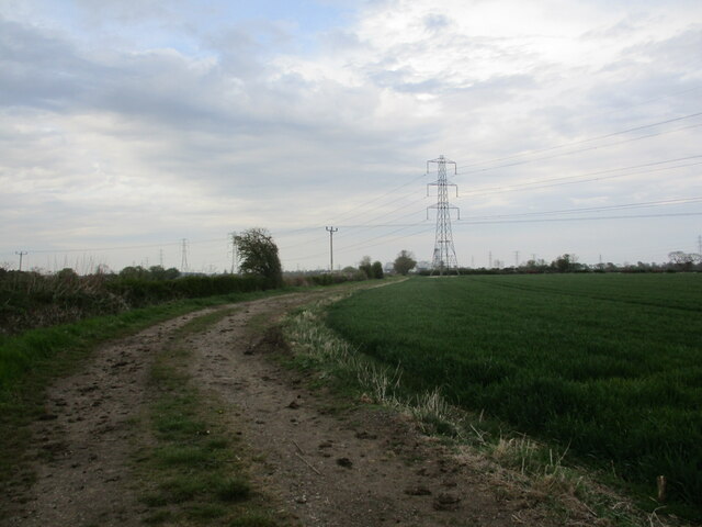
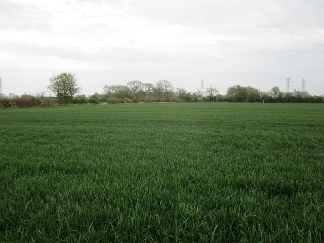
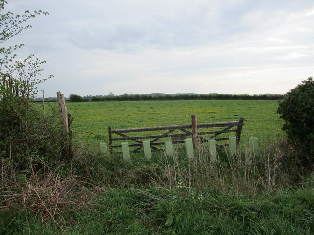
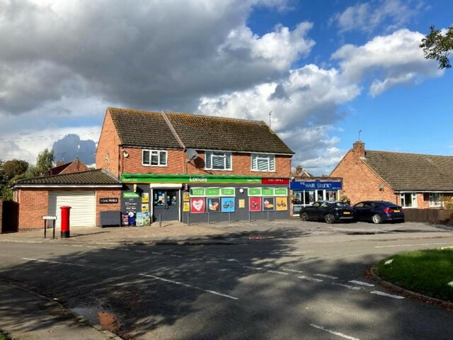
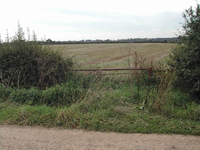
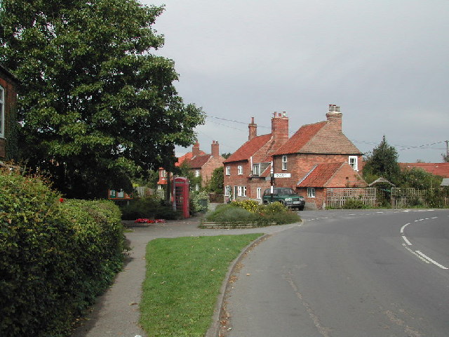
The village of Rolleston is characterized by its picturesque rural setting, with rolling fields and charming countryside landscapes. It is known for its attractive stone cottages, historic buildings, and a sense of community spirit. The village has a number of amenities, including a primary school, a village hall, and a local pub.
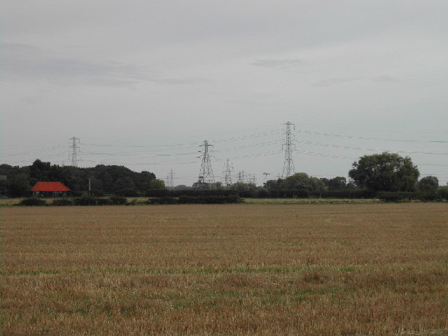
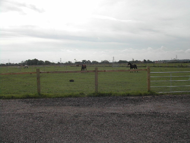
Historically, Rolleston has strong ties to the agricultural industry, with farming playing a significant role in the local economy. In recent years, however, the village has seen a diversification of industries, with some residents commuting to nearby towns for work.
Despite its relatively small size, Rolleston is well-connected to other parts of Nottinghamshire. The A617 road runs through the village, providing convenient access to nearby towns and cities. The village also benefits from regular bus services, connecting it to Newark and other surrounding areas.
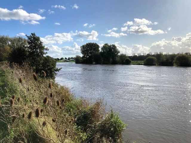
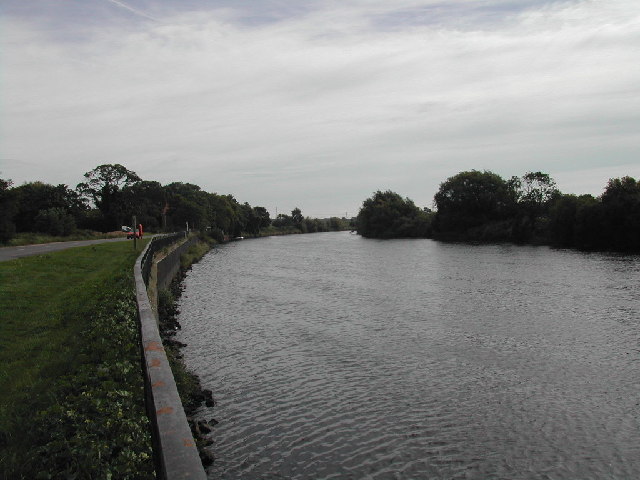
Rolleston is surrounded by beautiful natural landscapes, making it an attractive destination for outdoor enthusiasts. It is close to the River Trent, offering opportunities for boating, fishing, and scenic walks along the riverbanks.
Overall, Rolleston is a charming and peaceful civil parish, offering a tranquil rural lifestyle while still being within easy reach of larger towns and cities.
If you have any feedback on the listing, please let us know in the comments section below.
Rolleston Images
Images are sourced within 2km of 53.062079/-0.882312 or Grid Reference SK7452. Thanks to Geograph Open Source API. All images are credited.

Rolleston is located at Grid Ref: SK7452 (Lat: 53.062079, Lng: -0.882312)
Administrative County: Nottinghamshire
District: Newark and Sherwood
Police Authority: Nottinghamshire
What 3 Words
///table.implanted.sport. Near Farndon, Nottinghamshire
Related Wikis

Rolleston, Nottinghamshire
Rolleston is a small village and civil parish in Nottinghamshire by the River Greet (a tributary of the River Trent), a few miles from Southwell not far...

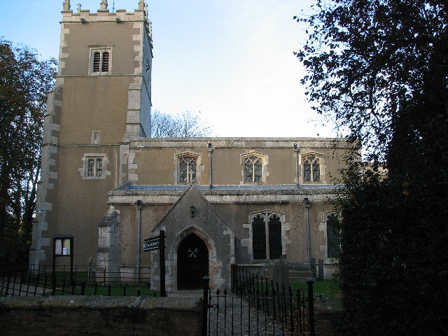
Holy Trinity Church, Rolleston
Holy Trinity Church, Rolleston is a parish church in the Church of England in Rolleston, Nottinghamshire. == History == The church dates from the 12th...

River Greet
The River Greet is a small river in Nottinghamshire, England. Rising close to the village of Kirklington, the Greet flows in a southeasterly direction...

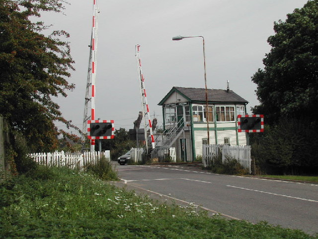
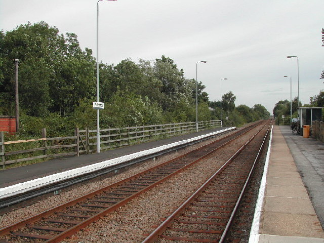
Rolleston railway station
Rolleston station is around half a mile from the small village of Rolleston, one of the Trent-side villages near Southwell in Nottinghamshire, England...

Staythorpe
Staythorpe is a hamlet and civil parish in the Newark and Sherwood district of Nottinghamshire, England. == Toponymy == Staythorpe was listed in the Domesday...

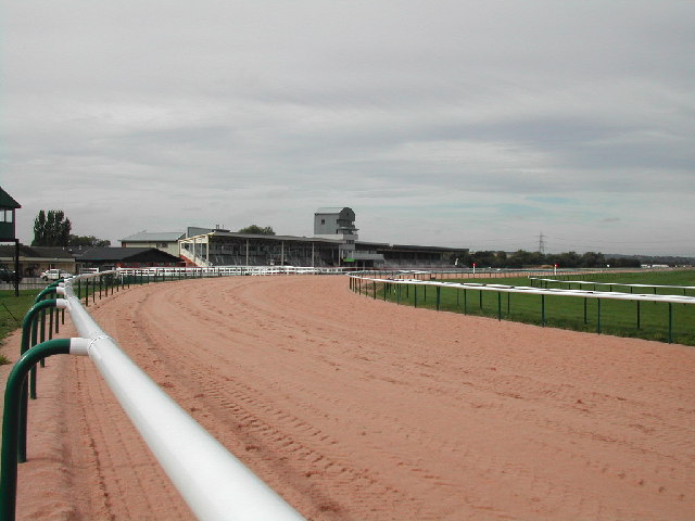
Southwell Racecourse
Southwell Racecourse ( SOWTH-wəl, -wel, locally SUDH-əl) is a thoroughbred horse racing venue located 2 miles (3 km) east of Southwell in Nottinghamshire...

Fiskerton, Nottinghamshire
Fiskerton is a village and former civil parish, now in the parish of Fiskerton cum Morton, in the Newark and Sherwood district, in the county of Nottinghamshire...
St Peter's Church, Farndon
St. Peter's Church, Farndon is a parish church in the Church of England in Farndon, Nottinghamshire. The church is Grade I listed as a building of outstanding...
Nearby Amenities
Located within 500m of 53.062079,-0.882312Have you been to Rolleston?
Leave your review of Rolleston below (or comments, questions and feedback).