Reed
Civil Parish in Hertfordshire North Hertfordshire
England
Reed
Reed is a civil parish located in the county of Hertfordshire, England. Situated in the East Hertfordshire district, this rural village covers an area of approximately 5 square miles and has a population of around 400 residents.
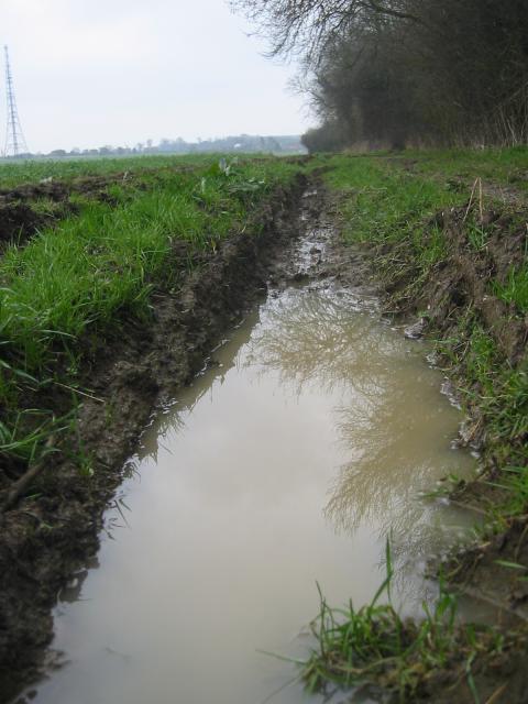
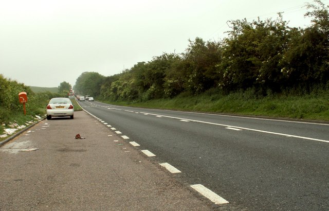
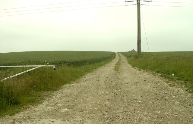
The village of Reed is nestled in the picturesque countryside, surrounded by open fields, rolling hills, and woodlands. It is situated between the towns of Royston and Buntingford, with easy access to major road networks such as the A10 and A505.
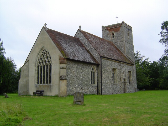
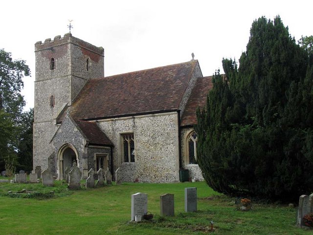
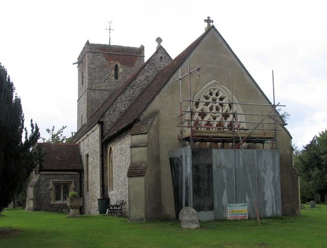
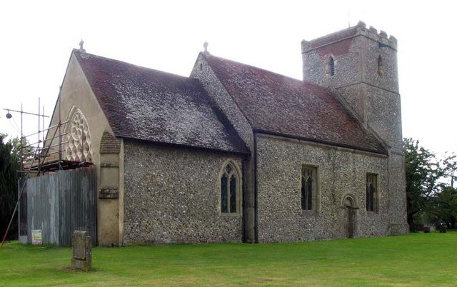
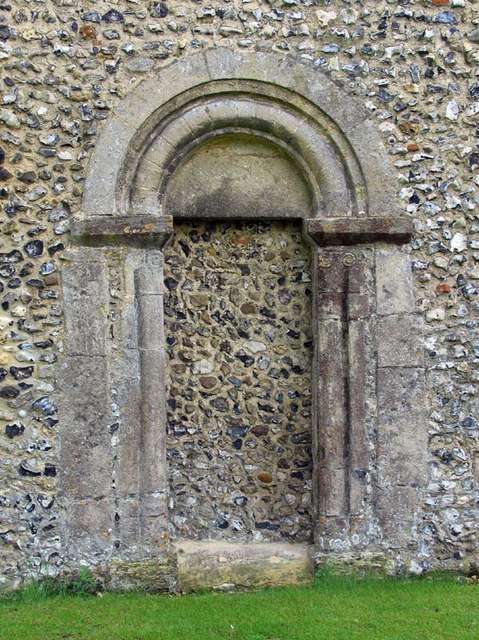
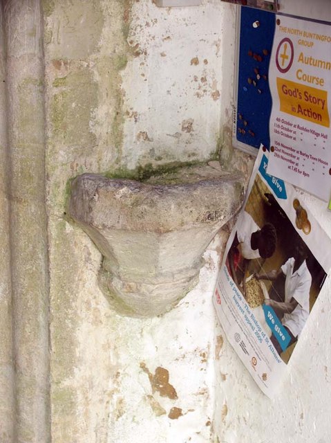
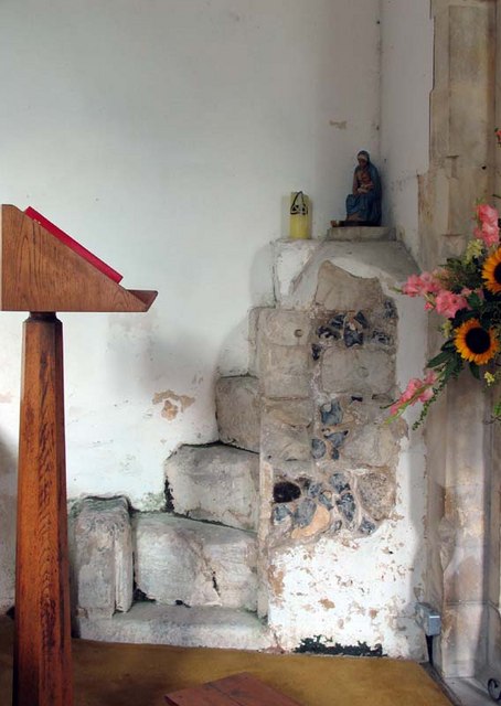
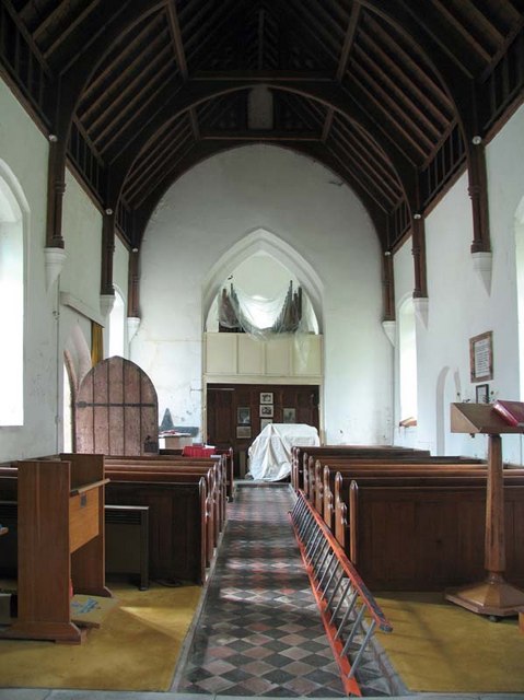
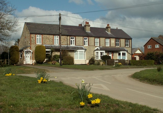
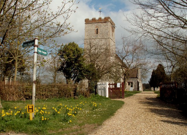
Reed has a rich history dating back to the Roman period, evidenced by the discovery of archaeological remains in the area. The village itself has a charming and tranquil atmosphere, with a mixture of traditional thatched cottages and modern houses. The centerpiece of the village is the All Saints' Church, a Grade II listed building that dates back to the 12th century.
Despite its small population, Reed has a strong sense of community and offers a range of amenities for its residents. These include a village hall, a primary school, a local pub, and a cricket ground. The village also hosts various events throughout the year, including a popular annual beer festival.
Reed's countryside location makes it a popular destination for outdoor enthusiasts who can enjoy activities such as walking, cycling, and horse riding in the surrounding area. The village is also within close proximity to nature reserves and parks, providing opportunities for wildlife spotting and nature walks.
In summary, Reed is a charming rural village in Hertfordshire, offering a peaceful and idyllic setting for residents and visitors alike.
If you have any feedback on the listing, please let us know in the comments section below.
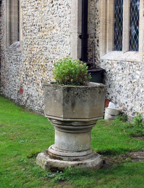
Reed Images
Images are sourced within 2km of 52.013076/-0.013602 or Grid Reference TL3636. Thanks to Geograph Open Source API. All images are credited.
Reed is located at Grid Ref: TL3636 (Lat: 52.013076, Lng: -0.013602)
Administrative County: Hertfordshire
District: North Hertfordshire
Police Authority: Hertfordshire
What 3 Words
///encourage.ambushed.removals. Near Royston, Hertfordshire
Related Wikis

Reed, Hertfordshire
Reed is a small village and civil parish in North Hertfordshire. It is situated on a chalk ridge, approximately 3 miles (4.8 km) south of the market town...

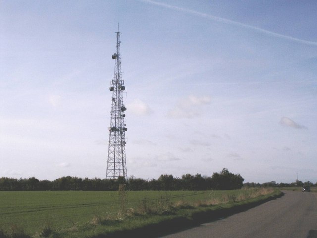
RAF Barkway
Royal Air Force Barkway or more simply RAF Barkway was one of the smallest Royal Air Force stations in the United Kingdom. It was a Communications Station...

Barkway Chalk Pit
Barkway Chalk Pit is a small (0.3 hectare) nature reserve in Barkway in North Hertfordshire. It was managed by the Herts and Middlesex Wildlife Trust...
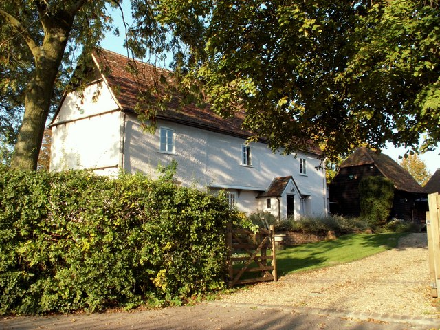
Mile End Farm Mill, Reed
Mile End Farm Mill is a tower mill at Reed, Hertfordshire, England which has been truncated and converted to residential accommodation. == History == The...

River Quin
The River Quin is a small watercourse which rises near Barkway in north east Hertfordshire, England. The river is fed by a number of sources including...
Newsells Park
Newsells Park is a country house and estate at Barkway in Hertfordshire. == History == The estate and the original manor house, built in the late 17th...

Barkway
Barkway is a long-established village and civil parish in the North Hertfordshire district of Hertfordshire, England, about five miles south-east of...

St Andrew's Church, Buckland
St Andrew's Church is a redundant Anglican church in the village of Buckland, Hertfordshire, England. It is recorded in the National Heritage List for...
Nearby Amenities
Located within 500m of 52.013076,-0.013602Have you been to Reed?
Leave your review of Reed below (or comments, questions and feedback).