North Petherton

Civil Parish in Somerset Sedgemoor

England

North Petherton

Field and farm, Compass, Bridgwater
Field and farm, Compass, Bridgwater Credit: David Smith

North Petherton is a civil parish located in the county of Somerset, England. It is situated on the southern edge of the Quantock Hills, approximately 5 miles north of the town of Bridgwater. The parish covers an area of around 7 square miles and has a population of approximately 6,500 people.

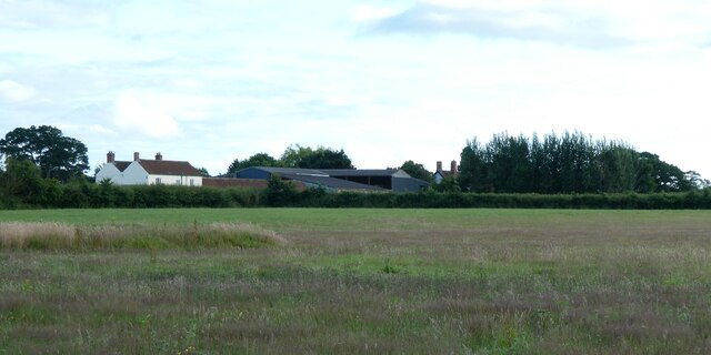
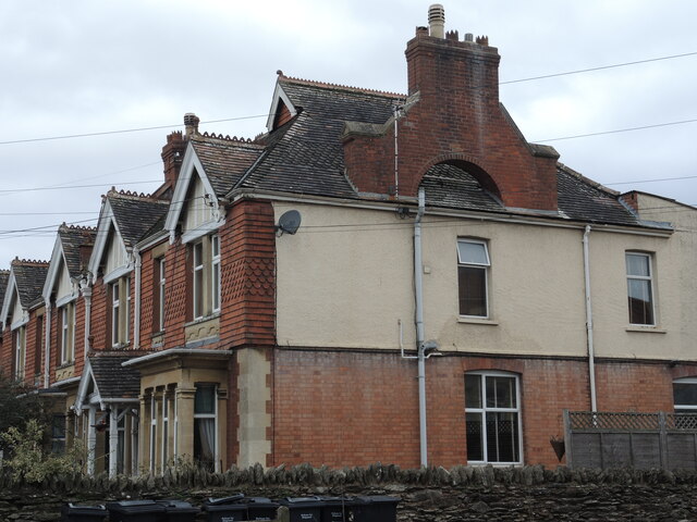
The village of North Petherton itself is steeped in history, with evidence of human habitation dating back to the Bronze Age. It was originally a Saxon settlement and later became an important market town during the medieval period. Today, it retains much of its historic charm, with a number of well-preserved buildings and landmarks.

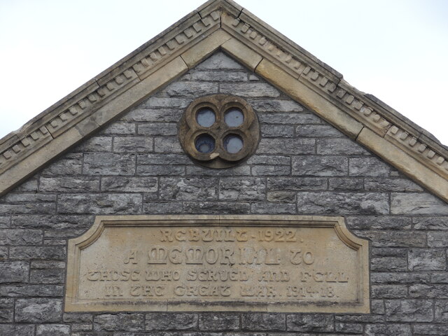
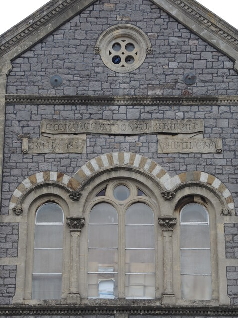
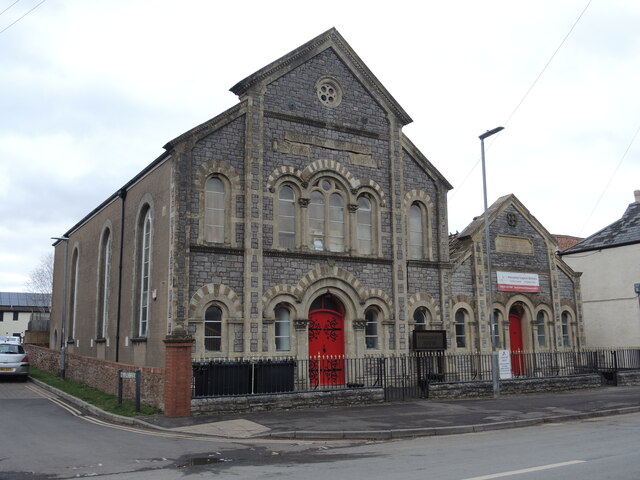
One notable landmark in North Petherton is the Church of St. Mary the Virgin, which features a striking 14th-century tower and a beautiful Norman font. The parish also boasts several other historic buildings, including the Market Cross, a Grade II listed structure dating back to the 15th century.

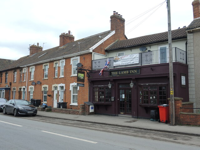
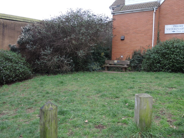
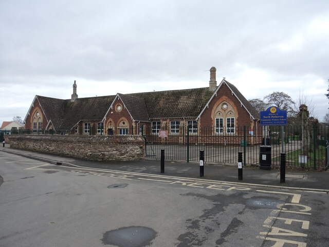
The village is well-served by amenities, with a range of shops, pubs, and restaurants catering to the needs of both locals and visitors. It also has a primary school, a community center, and a library, providing essential services to the residents.

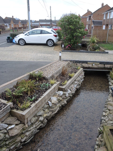
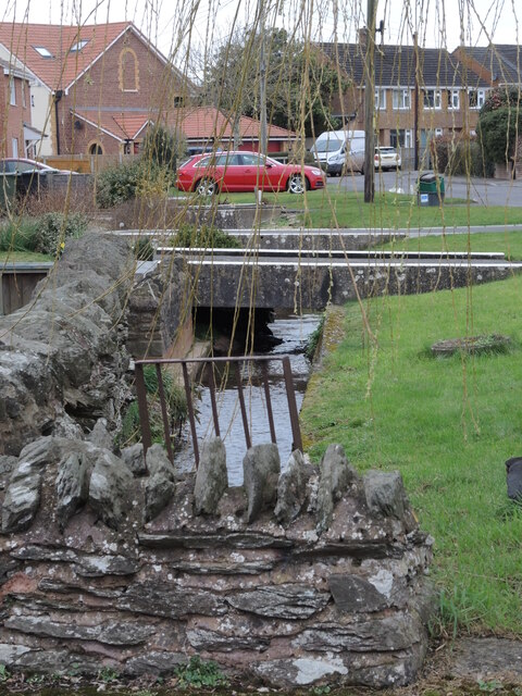
North Petherton is surrounded by picturesque countryside, making it a popular destination for outdoor enthusiasts. The nearby Quantock Hills offer stunning views and numerous walking and cycling routes. Additionally, the village is conveniently located for exploring the wider Somerset region, with easy access to the Somerset Levels, Exmoor National Park, and the nearby coastline.

Overall, North Petherton is a charming and historic village, offering a mix of heritage, amenities, and natural beauty to residents and visitors alike.

If you have any feedback on the listing, please let us know in the comments section below.

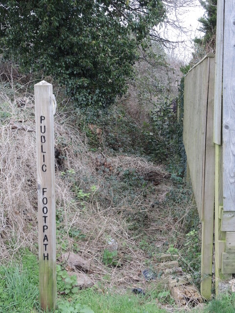
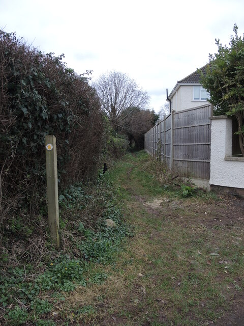
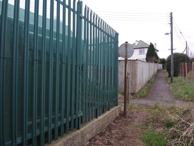
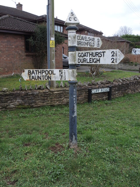
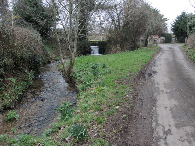
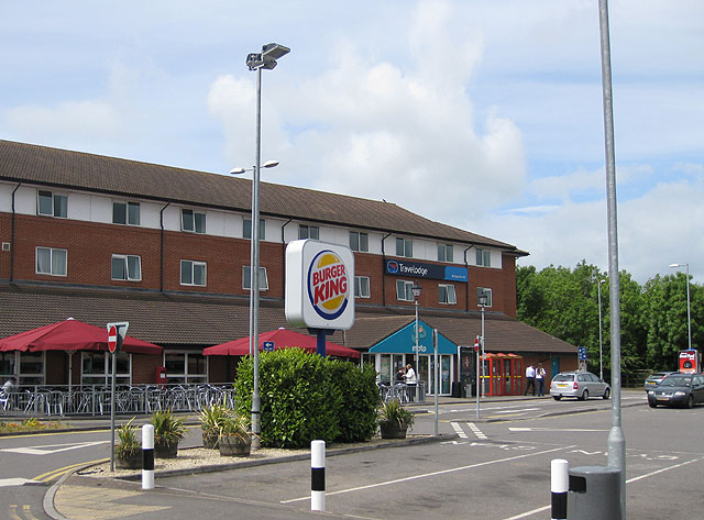
North Petherton Images

Images are sourced within 2km of 51.083588/-3.002534 or Grid Reference ST2932. Thanks to Geograph Open Source API. All images are credited.

Field and farm, Compass, Bridgwater
Butcher and restaurant, Market Way, Compass business park
An unusual chimney stack Two separate chimney flues are joined in an external archway - quite unusual!
An unusual chimney stack
Two separate chimney flues are joined in an external archway - quite unusual!
Stone and wooden bench in North Petherton On the corner of a road junction, this seat actually commemorates the wedding of Charles and Diana, 1981.
Stone and wooden bench in North Petherton
On the corner of a road junction, this seat actually commemorates the wedding of Charles and Diana, 1981.
A high memorial Inscribed stonework high above the old Congregational Church and Sunday school on Fore Street. It must be pretty uncommon for such a war memorial to be found on a rebuilt church. See <a href="https://www.geograph.org.uk/photo/7440532">ST2933 : Ferrydown House</a> for a wider view.
A high memorial
Inscribed stonework high above the old Congregational Church and Sunday school on Fore Street. It must be pretty uncommon for such a war memorial to be found on a rebuilt church. See ST2933 : Ferrydown House for a wider view.
Rebuilt Congregational church Originally founded in 1833 and rebuilt in 1869, this church has changed use: it is now a local authority healthcare facility. See <a href="https://www.geograph.org.uk/photo/7440532">ST2933 : Ferrydown House</a> for a wider view of the old church and adjoining Sunday school.
Rebuilt Congregational church
Originally founded in 1833 and rebuilt in 1869, this church has changed use: it is now a local authority healthcare facility. See ST2933 : Ferrydown House for a wider view of the old church and adjoining Sunday school.
Ferrydown House Now a healthcare facility for the local community, this was a Congregational church and Sunday school. See <a href="https://www.geograph.org.uk/photo/7440518">ST2933 : A high memorial</a> and <a href="https://www.geograph.org.uk/photo/7440528">ST2933 : Rebuilt Congregational church</a> for some interesting details of the frontage.
Ferrydown House
Now a healthcare facility for the local community, this was a Congregational church and Sunday school. See ST2933 : A high memorial and ST2933 : Rebuilt Congregational church for some interesting details of the frontage.
The Lamb Inn A small pub in the middle of a suburban street, the pub is older than the houses to the left of shot.
The Lamb Inn
A small pub in the middle of a suburban street, the pub is older than the houses to the left of shot.
Space for a seat The junction of Fore Street and School Lane has a small unbuilt space, with a bench for passers by. In the past this would have been houses and shops but they have been cleared.

Interestingly, there are three plaques on the seat: one marks the seventieth anniversary of the Women's Institute in 1997, one marks the 1st North Petherton Scouts work in creating the garden in the Scouts' movement's centenary in 2007, and the last commemorates Queen Elizabeth's Silver Jubilee.
Space for a seat
The junction of Fore Street and School Lane has a small unbuilt space, with a bench for passers by. In the past this would have been houses and shops but they have been cleared. Interestingly, there are three plaques on the seat: one marks the seventieth anniversary of the Women's Institute in 1997, one marks the 1st North Petherton Scouts work in creating the garden in the Scouts' movement's centenary in 2007, and the last commemorates Queen Elizabeth's Silver Jubilee.
North Pertherton Primary school The town has had a large number of eductional establishments dating back to the seventeenth century. It seems most were independent, if not unlicensed, and the religious communities also held Sunday schools as well. Today, some 400 young children of North Petherton are taught here.
North Pertherton Primary school
The town has had a large number of eductional establishments dating back to the seventeenth century. It seems most were independent, if not unlicensed, and the religious communities also held Sunday schools as well. Today, some 400 young children of North Petherton are taught here.
History almost right on the doorstep These modern houses have a little water feature running underneath their drives. The water is a mill stream that used to run to a large pond (now built over) that serviced Baymead Corn Mill in years gone by.
History almost right on the doorstep
These modern houses have a little water feature running underneath their drives. The water is a mill stream that used to run to a large pond (now built over) that serviced Baymead Corn Mill in years gone by.
Back along School Fields The former mill stream separates the houses from the road.
Back along School Fields
The former mill stream separates the houses from the road.
Not that popular A footpath seems less popular than most; not surprising when you realise the path is very short and is reached much more easily by using the road behind it.
Not that popular
A footpath seems less popular than most; not surprising when you realise the path is very short and is reached much more easily by using the road behind it.
Footpath from Newton Road A rather muddy track runs between the rows of houses. In the nineteenth century Newton Road was known as Sellick's Lane.
Footpath from Newton Road
A rather muddy track runs between the rows of houses. In the nineteenth century Newton Road was known as Sellick's Lane.
Prohibited in the lane A faded sign by the electricity substation used to prohibit cycling.
Prohibited in the lane
A faded sign by the electricity substation used to prohibit cycling.
Somerset signpost in North Petherton The junction of Shovel Lane and Cliff Road: a typical style signpost with the traditional pyramid finial.
Somerset signpost in North Petherton
The junction of Shovel Lane and Cliff Road: a typical style signpost with the traditional pyramid finial.
Hulkshay Lane The stream is one of several that were vital to the local mills in the past. Further up the lane is Hulkshay Farm.
Hulkshay Lane
The stream is one of several that were vital to the local mills in the past. Further up the lane is Hulkshay Farm.
Small weir on Hulkshay Lane With several mills in the area relying on managed water supplies, a little waterfall is par for the watercourse.
Small weir on Hulkshay Lane
With several mills in the area relying on managed water supplies, a little waterfall is par for the watercourse.
Show me another place!

North Petherton is located at Grid Ref: ST2932 (Lat: 51.083588, Lng: -3.002534)

Administrative County: Somerset

District: Sedgemoor

Police Authority: Avon and Somerset

What 3 Words

///sank.money.vent. Near North Petherton, Somerset

Nearby Locations

North Petherton Park Wood

Related Wikis

Church of St Peter, North Newton

The Anglican Church of St Peter in North Newton within the English county of Somerset has a tower believed to date from Saxon times. It is a Grade II*...

North Petherton

North Petherton is a town and civil parish in Somerset, England, situated on the edge of the eastern foothills of the Quantocks, and close to the edge...

Petherton Park

Petherton Park (also known as North Petherton Park or Newton Park) was a Deer park around North Petherton within the English county of Somerset. The origins...

Maunsel House

Maunsel House in the English county of Somerset was built in the late 14th or early 15th century. The house stands south of the hamlet of North Newton...

Bridgwater Canalside Centre

The Bridgwater Canalside Centre was renamed 'The Canalside' in February 2008 and is a facility located near to the village of Huntworth on the outskirts...
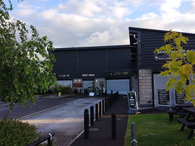
Bridgwater services

Bridgwater services is a motorway service station on the M5 motorway near Bridgwater in Somerset, England. The services are located off junction 24, near...

Bridgwater and Taunton Canal

The Bridgwater and Taunton Canal is a canal in the south-west of England between Bridgwater and Taunton, opened in 1827 and linking the River Tone to the...

Somerset Space Walk

The Somerset Space Walk is a sculpture trail model of the Solar System, located in Somerset, England. The model uses the towpath of the 22-kilometre (14...

Nearby Amenities

Located within 500m of 51.083588,-3.002534
Somerset
Gns Classification: ADM1
Gns Uni: 6086840
Is In: Somerset, England, UK
Is In Country: United Kingdom
Is In Country Code: GB
Old Name: Somersetshire
Place: county
Source: GNS
Lat/Long: 51.083333/-3
Power: tower
Lat/Long: 51.0804955/-3.0045614
Power: tower
Lat/Long: 51.0807274/-3.000913
Power: tower
Lat/Long: 51.0809304/-2.9973624
Brand: National Grid
Brand Wikidata: Q1465461
Colour: grey
Line Attachment: suspension
Material: metal
Operator: National Grid Electricity Distribution Plc
Operator Old: Western Power Distribution
Operator Wikidata: Q7988183
Owner: National Grid Electricity Distribution (South West) Plc
Owner Wikidata: Q114397866
Power: tower
Source Ref: bing
Structure: lattice
Lat/Long: 51.0849925/-3.0092319
Brand: National Grid
Brand Wikidata: Q1465461
Colour: grey
Line Attachment: suspension
Material: metal
Operator: National Grid Electricity Distribution Plc
Operator Old: Western Power Distribution
Operator Wikidata: Q7988183
Owner: National Grid Electricity Distribution (South West) Plc
Owner Wikidata: Q114397866
Power: tower
Source Ref: bing
Structure: lattice
Lat/Long: 51.0842577/-3.0085303
Brand: National Grid
Brand Wikidata: Q1465461
Colour: grey
Line Attachment: suspension
Material: metal
Operator: National Grid Electricity Distribution Plc
Operator Old: Western Power Distribution
Operator Wikidata: Q7988183
Owner: National Grid Electricity Distribution (South West) Plc
Owner Wikidata: Q114397866
Power: tower
Source Ref: bing
Structure: lattice
Lat/Long: 51.0854399/-3.0041116
Brand: National Grid
Brand Wikidata: Q1465461
Colour: grey
Line Attachment: suspension
Material: metal
Operator: National Grid Electricity Distribution Plc
Operator Old: Western Power Distribution
Operator Wikidata: Q7988183
Owner: National Grid Electricity Distribution (South West) Plc
Owner Wikidata: Q114397866
Power: tower
Source Ref: bing
Structure: lattice
Lat/Long: 51.0858324/-3.0057955
Brand: National Grid
Brand Wikidata: Q1465461
Colour: grey
Line Attachment: suspension
Material: metal
Operator: National Grid Electricity Distribution Plc
Operator Old: Western Power Distribution
Operator Wikidata: Q7988183
Owner: National Grid Electricity Distribution (South West) Plc
Owner Wikidata: Q114397866
Power: tower
Source Ref: bing
Structure: lattice
Lat/Long: 51.0864832/-3.0001753
Power: tower
Lat/Long: 51.0799963/-3.0068115
Brand: National Grid
Brand Wikidata: Q1465461
Colour: grey
Line Attachment: suspension
Material: metal
Operator: National Grid Electricity Distribution Plc
Operator Old: Western Power Distribution
Operator Wikidata: Q7988183
Owner: National Grid Electricity Distribution (South West) Plc
Owner Wikidata: Q114397866
Power: tower
Source Ref: bing
Structure: lattice
Lat/Long: 51.0874374/-2.9989752
Give Way
Lat/Long: 51.0830147/-3.0080122
The data included in this document is from www.openstreetmap.org. The data is made available under ODbL.

Have you been to North Petherton?

Leave your review of North Petherton below (or comments, questions and feedback).