Morval
Civil Parish in Cornwall
England
Morval
Morval is a civil parish located in the southeastern part of Cornwall, England. It is situated approximately 2 miles west of Looe and covers an area of about 3 square miles. The parish is predominantly rural, with a population of around 300 residents.
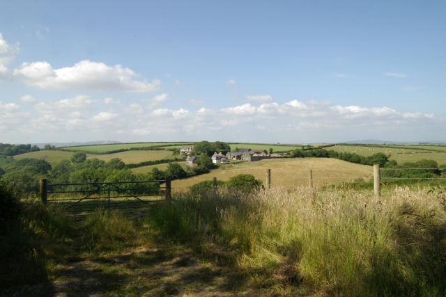
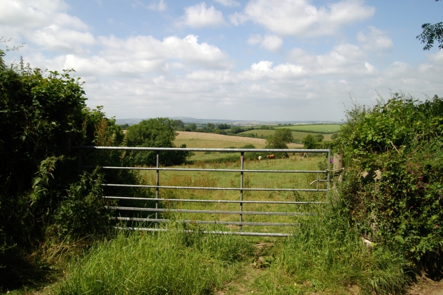
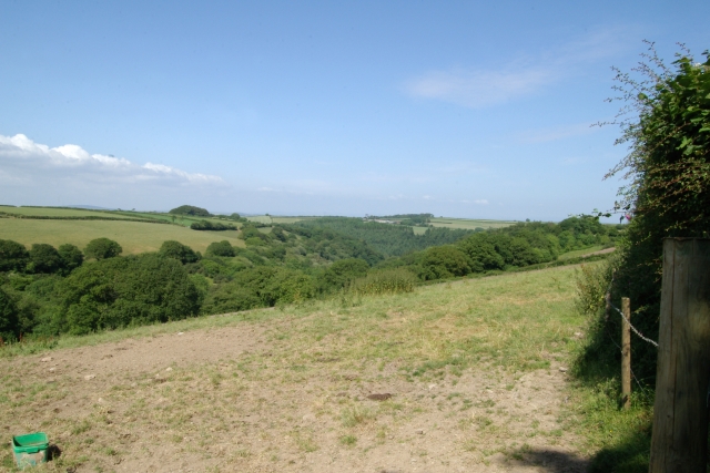
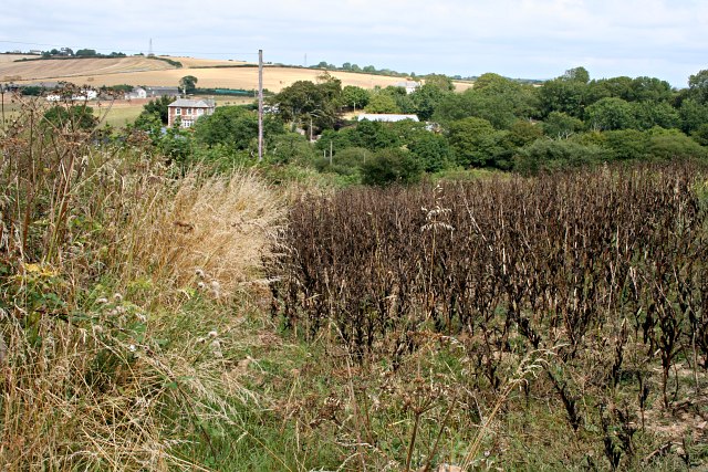
The landscape of Morval is characterized by rolling hills, farmland, and scattered woodlands. The parish is bordered by the River Looe to the east, which adds to the picturesque scenery. The area is known for its natural beauty, attracting visitors who enjoy hiking, birdwatching, and exploring the countryside.
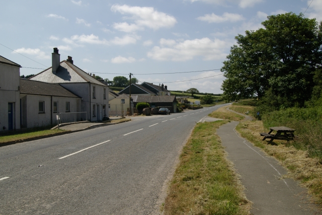
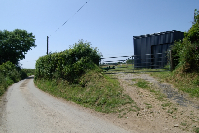
Historically, Morval was an important agricultural center, and farming remains a significant part of the local economy. The parish is dotted with traditional Cornish cottages and farmhouses, adding to its charm and rural character.
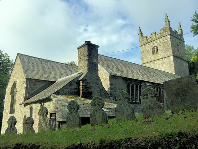
One of the notable landmarks in Morval is the Church of St. Wenna, a 15th-century parish church known for its beautiful stained glass windows and ancient Celtic crosses. It serves as a focal point for the community and is a popular site for weddings and other events.
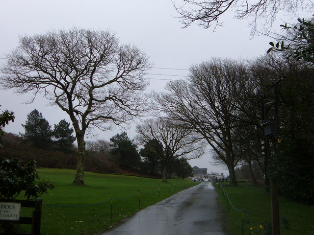
Morval offers a tranquil and peaceful environment, making it an ideal place for those seeking a rural retreat. It is well-connected to nearby towns and villages, with good road links and public transportation options. Overall, Morval is a delightful parish that combines natural beauty, agricultural heritage, and a close-knit community.
If you have any feedback on the listing, please let us know in the comments section below.
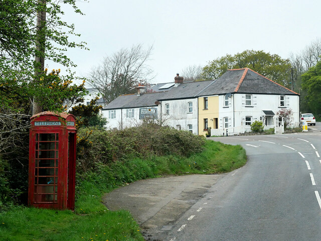
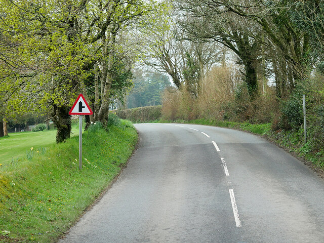
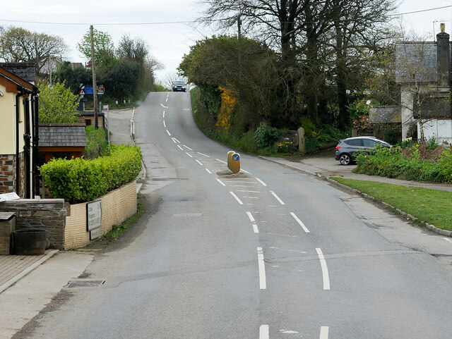
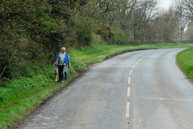
Morval Images
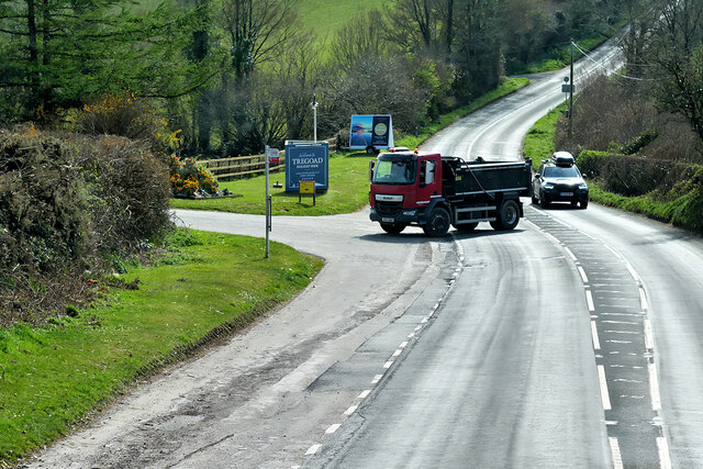
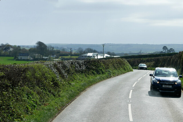
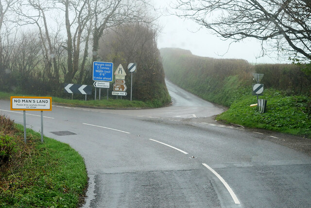
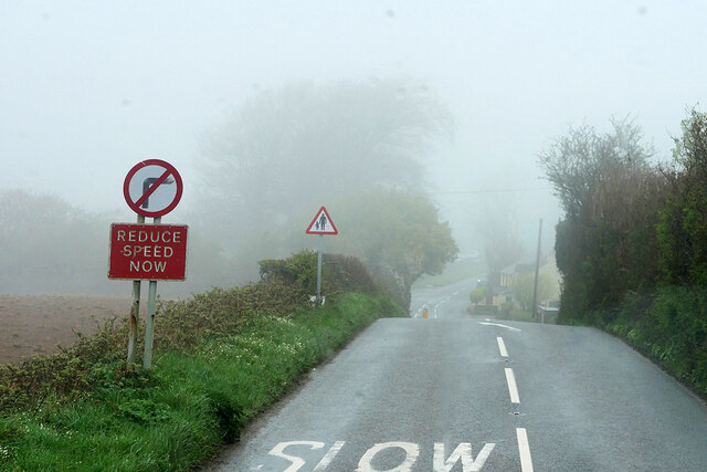
Images are sourced within 2km of 50.394622/-4.427997 or Grid Reference SX2757. Thanks to Geograph Open Source API. All images are credited.
Morval is located at Grid Ref: SX2757 (Lat: 50.394622, Lng: -4.427997)
Unitary Authority: Cornwall
Police Authority: Devon & Cornwall
What 3 Words
///gardens.dazzling.hospitals. Near Duloe, Cornwall
Nearby Locations
Related Wikis
Bin Down
Bin Down is a hill, 203 metres (666 ft) high near Liskeard in the county of Cornwall, England. Its prominence of 101 metres qualifies it as a HuMP. Bin...

Wringworthy
Wringworthy is a hamlet in Cornwall, England, United Kingdom. It is in the parish of Morval on the A387 road. == References ==

Widegates
Widegates is a village in south-east Cornwall, England, UK, about 4 miles north of Looe. It is on the A387 road about two miles west of Hessenford.The...

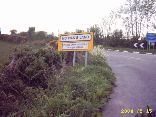
No Man's Land, Cornwall
No Man's Land is a crossroads hamlet in south-east Cornwall, England, United Kingdom. It is situated approximately two miles (3 km) northeast of Looe on...
Nearby Amenities
Located within 500m of 50.394622,-4.427997Have you been to Morval?
Leave your review of Morval below (or comments, questions and feedback).