Middleton
Civil Parish in Northumberland
England
Middleton
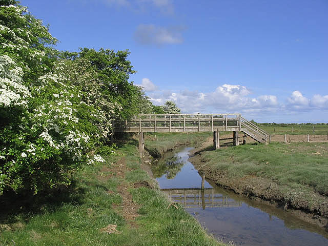
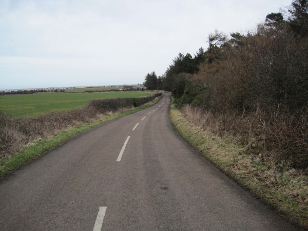
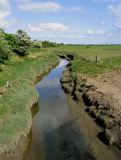
Middleton is a civil parish located in Northumberland, a county in the North East region of England. Situated in the picturesque countryside, it lies approximately 6 miles north of the town of Wooler and 13 miles south of Berwick-upon-Tweed. The parish encompasses the village of Middleton, which is home to a small population of around 200 residents.
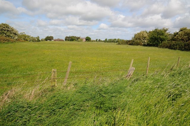
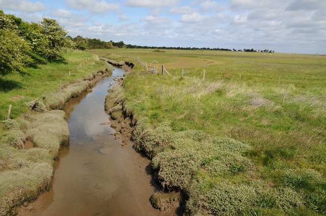
Middleton is renowned for its idyllic setting, surrounded by rolling hills, meadows, and farmland. The village itself has a charming and traditional character, with a collection of stone-built houses and cottages lining its streets. Despite its small size, Middleton boasts a close-knit community that actively participates in local events and initiatives.
The parish is also home to the historic St. Mary's Church, a Grade II listed building dating back to the 13th century. The church serves as a significant landmark and a place of worship for both locals and visitors.
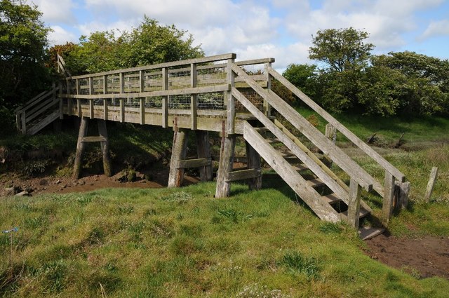
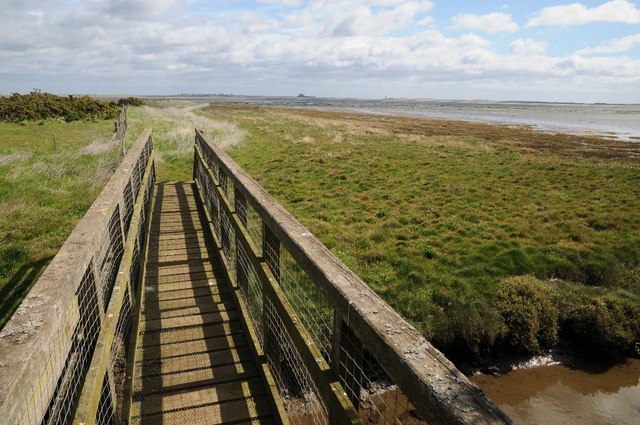
Nature enthusiasts will find plenty to explore in Middleton and its surroundings. The area is known for its diverse wildlife and offers numerous walking trails, providing opportunities for outdoor activities such as hiking, birdwatching, and photography.
While Middleton may be a peaceful rural retreat, it benefits from its proximity to larger towns and cities. Wooler, a popular market town, offers additional amenities and services, including shops, restaurants, and schools.
Overall, Middleton, Northumberland, is a charming civil parish that offers a tranquil and scenic setting, making it an ideal destination for those seeking a slower pace of life amidst the natural beauty of the English countryside.
If you have any feedback on the listing, please let us know in the comments section below.
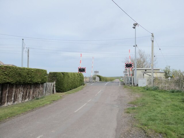
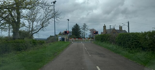
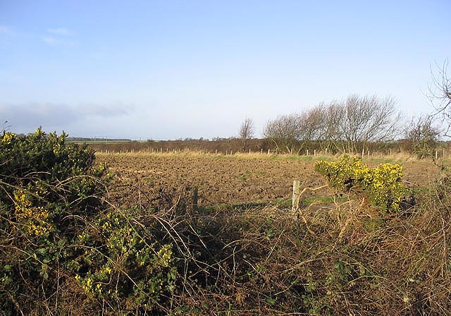
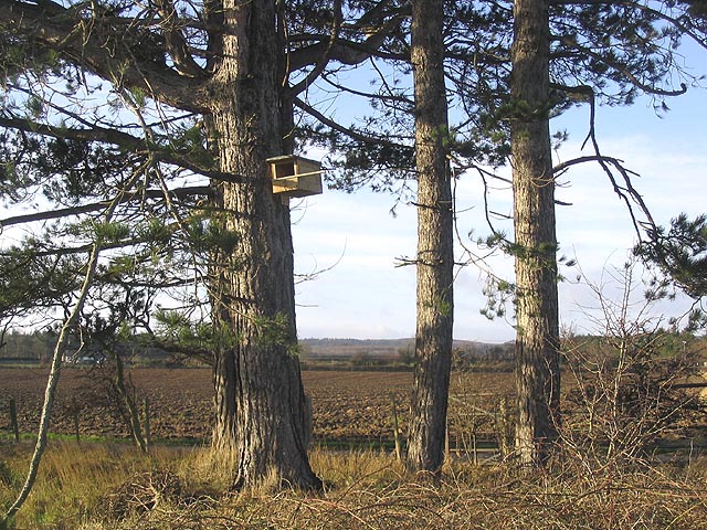
Middleton Images
Images are sourced within 2km of 55.634661/-1.822776 or Grid Reference NU1137. Thanks to Geograph Open Source API. All images are credited.
Middleton is located at Grid Ref: NU1137 (Lat: 55.634661, Lng: -1.822776)
Unitary Authority: Northumberland
Police Authority: Northumbria
What 3 Words
///public.vintages.signs. Near Belford, Northumberland
Nearby Locations
Related Wikis

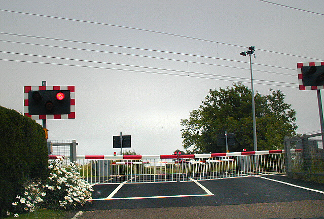
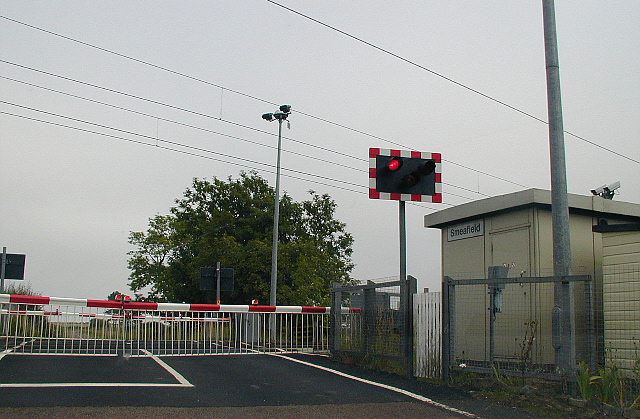
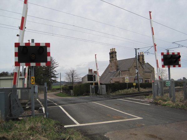
Smeafield railway station
Smeafield railway station served the farmstead of Smeafield, Northumberland, England from 1871 to 1930 on the East Coast Main Line. == History == The station...

Middleton Hall, Middleton, Northumberland
Middleton Hall is a country house near the settlement of Middleton, Northumberland, in that parish, that dates from 1871. It is listed Grade II on the...
Crag Mill railway station
Crag Mill railway station served the village of Belford, Northumberland, England from around 1862 to 1877 on the East Coast Main Line. == History == The...

Buckton, Northumberland
Buckton is a small village in Northumberland, North East England, located just over 5 km north of Belford.Buckton consists of a farm and a few cottages...

Middleton, Northumberland
Middleton is a settlement and civil parish in Northumberland, England. The parish is situated on the North Sea coast, south of the island of Lindisfarne...

Easington, Northumberland
Easington is a place and former civil parish, now in the parish of Belford about 14 miles from Alnwick, in the county of Northumberland, England. In 2011...

Belford Hall
Belford Hall is a Grade I listed building, an 18th-century mansion house situated at Belford, Northumberland. The Manor of Belford was acquired by the...

Westhall, Northumberland
Westhall is a privately owned 19th-century castellated house at Belford in Northumberland, England now in use as a farm. It is on a site with older historical...
Nearby Amenities
Located within 500m of 55.634661,-1.822776Have you been to Middleton?
Leave your review of Middleton below (or comments, questions and feedback).