Middleton

Civil Parish in Warwickshire North Warwickshire

England

Middleton

St John the Baptist, Church, Church Gates  (1) This photograph shows a view of this churches, Church gate.
St John the Baptist, Church, Church Gates (1) Credit: Chris' Buet

Middleton is a civil parish located in the county of Warwickshire, England. Situated in the Stratford-on-Avon district, Middleton covers an area of approximately 4.5 square miles. It is a small, rural village with a population of around 1,000 people.

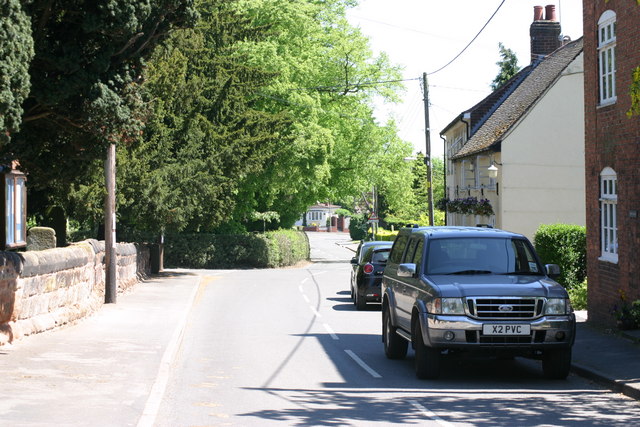
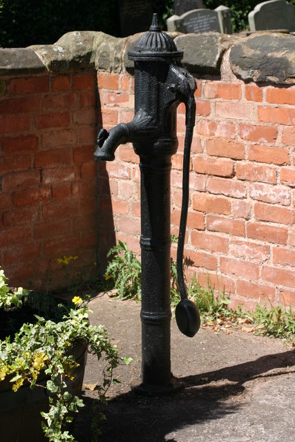
The village of Middleton is known for its picturesque countryside and charming rural setting. Surrounded by rolling hills and farmland, it offers a peaceful and tranquil atmosphere for residents and visitors alike. The River Avon flows nearby, providing opportunities for leisurely walks and outdoor activities.

Despite its small size, Middleton boasts a range of amenities and services for its residents. These include a primary school, a village hall, a local pub, and a post office. The village also has a strong sense of community spirit, with various events and activities organized throughout the year.

Historically, Middleton was an important agricultural center, with farming playing a significant role in the local economy. Today, while agriculture remains a prominent industry, the village has also seen some diversification, with small businesses and tourism contributing to the local economy.

Middleton is well-connected to other parts of Warwickshire and the wider region. The nearby town of Stratford-upon-Avon is just a few miles away, offering a wider range of amenities and attractions. Additionally, the M40 motorway is easily accessible, providing convenient transport links to Birmingham and London.

Overall, Middleton in Warwickshire is a charming and peaceful village with a strong community spirit, offering a rural lifestyle within easy reach of larger towns and cities.

If you have any feedback on the listing, please let us know in the comments section below.
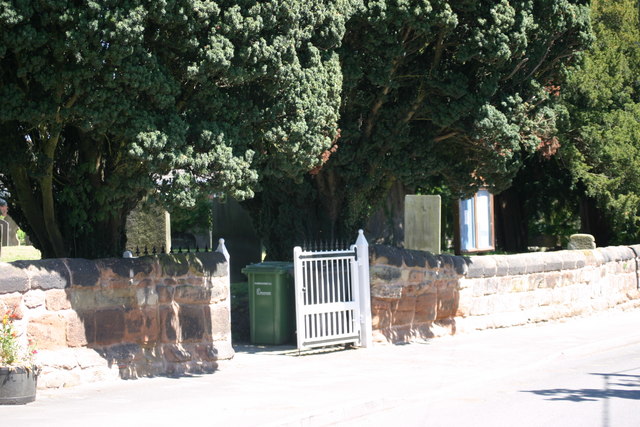
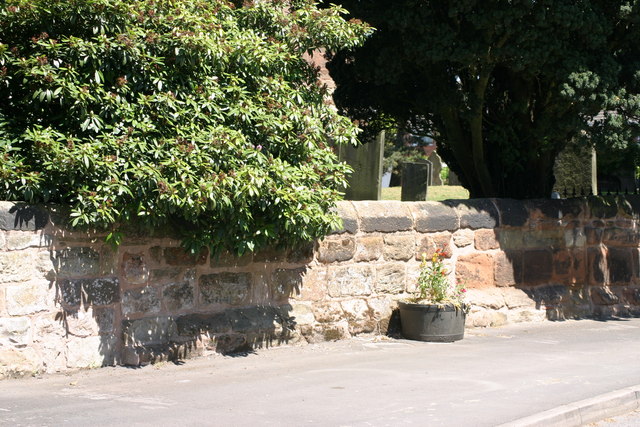
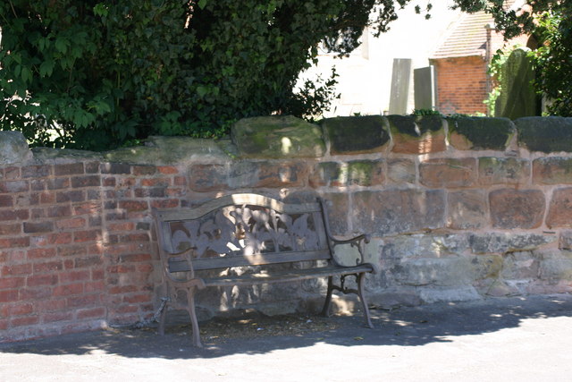
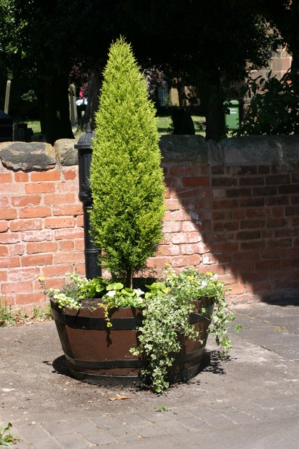
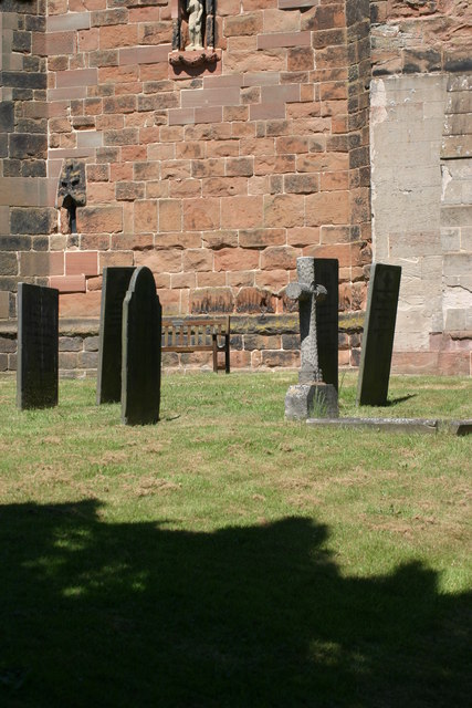
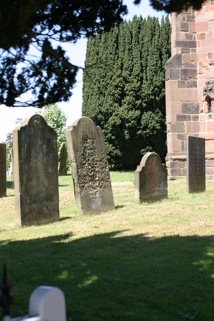
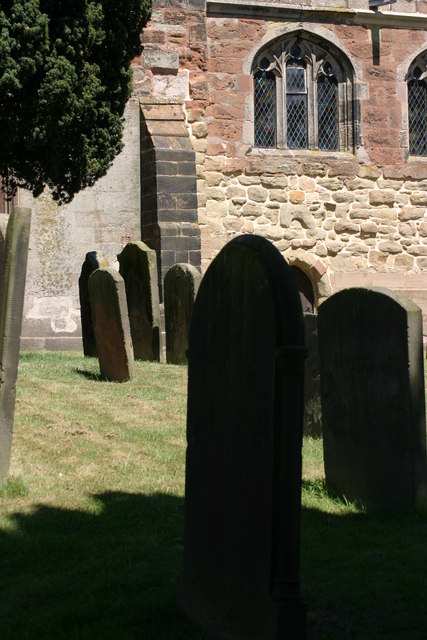
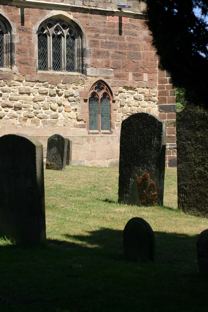
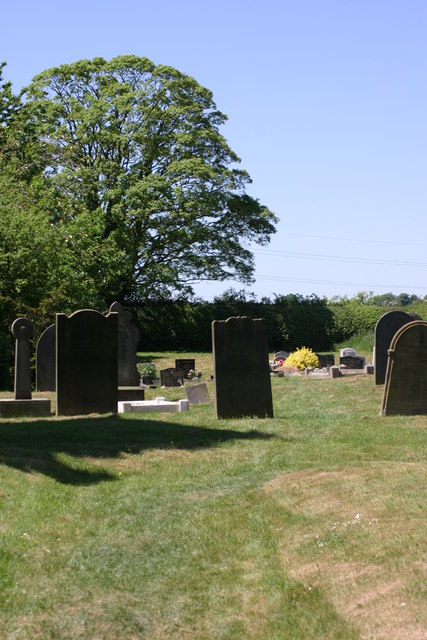
Middleton Images

Images are sourced within 2km of 52.577048/-1.740836 or Grid Reference SP1797. Thanks to Geograph Open Source API. All images are credited.

St John the Baptist, Church, Church Gates  (1) This photograph shows a view of this churches, Church gate.
St John the Baptist, Church, Church Gates (1)
This photograph shows a view of this churches, Church gate.
St John the Baptist, Church, Church Wall This photograph shows a section of St John the Baptists, Church, Church wall. This photograph <a href="https://www.geograph.org.uk/photo/2339184">SP1798 : St John the Baptist, Church, Church Gates  (1)</a> shows a view of the Main Church gates, situated along this length of wall.
St John the Baptist, Church, Church Wall
This photograph shows a section of St John the Baptists, Church, Church wall. This photograph SP1798 : St John the Baptist, Church, Church Gates (1) shows a view of the Main Church gates, situated along this length of wall.
Village Bench This photograph shows a view of a Bench situated outside, the Church wall of St John the Baptist, Church.
Village Bench
This photograph shows a view of a Bench situated outside, the Church wall of St John the Baptist, Church.
Tree and plant display, outside St John the Baptist, Church This tree and plant display is located outside, St John the Baptist Church, note the old black water pump behind the tree.
Tree and plant display, outside St John the Baptist, Church
This tree and plant display is located outside, St John the Baptist Church, note the old black water pump behind the tree.
Church Lane (1) The above photograph shows a view of Church Lane, part of which is located next to, St John the Baptist, Church. This photograph <a href="https://www.geograph.org.uk/photo/2339184">SP1798 : St John the Baptist, Church, Church Gates  (1)</a> shows a view next to this Church.
Church Lane (1)
The above photograph shows a view of Church Lane, part of which is located next to, St John the Baptist, Church. This photograph SP1798 : St John the Baptist, Church, Church Gates (1) shows a view next to this Church.
Original Old Water Pump The above photograph shows a view of an old water pump, which is an original. The above water pump can also be seen partially in this photograph <a href="https://www.geograph.org.uk/photo/2339241">SP1798 : Tree and plant display, outside St John the Baptist, Church</a> behind the tree.
Original Old Water Pump
The above photograph shows a view of an old water pump, which is an original. The above water pump can also be seen partially in this photograph SP1798 : Tree and plant display, outside St John the Baptist, Church behind the tree.
St John the Baptist, Church, Graveyard  (1) The above photograph shows a view of St John the Baptists, Churches Graveyard taken the other side of the Graveyard wall, while standing on the public foot path. This photograph <a href="https://www.geograph.org.uk/photo/2339201">SP1798 : St John the Baptist, Church, Church Wall</a> shows a view of this wall from another angle.
St John the Baptist, Church, Graveyard (1)
The above photograph shows a view of St John the Baptists, Churches Graveyard taken the other side of the Graveyard wall, while standing on the public foot path. This photograph SP1798 : St John the Baptist, Church, Church Wall shows a view of this wall from another angle.
St John the Baptist, Church, Church Tower  (1) This photograph shows the Churches, Church Tower, note the statue in a recess of the tower wall, below the Clock face. This photograph <a href="https://www.geograph.org.uk/photo/2345978">SP1798 : St John the Baptist, Church, Graveyard  (1)</a> shows a view of this Churches Graveyard.
St John the Baptist, Church, Church Tower (1)
This photograph shows the Churches, Church Tower, note the statue in a recess of the tower wall, below the Clock face. This photograph SP1798 : St John the Baptist, Church, Graveyard (1) shows a view of this Churches Graveyard.
St John the Baptist, Church Tower, Statue The above photograph shows a close up view of a Statue that is situated in a recess located in the Church tower wall. This photograph <a href="https://www.geograph.org.uk/photo/2346009">SP1798 : St John the Baptist, Church, Church Tower  (1)</a> shows the statue in more wider context with a fuller view of the Church tower itself.
St John the Baptist, Church Tower, Statue
The above photograph shows a close up view of a Statue that is situated in a recess located in the Church tower wall. This photograph SP1798 : St John the Baptist, Church, Church Tower (1) shows the statue in more wider context with a fuller view of the Church tower itself.
St John the Baptist, Church, Graveyard  (2) This photograph <a href="https://www.geograph.org.uk/photo/2345978">SP1798 : St John the Baptist, Church, Graveyard  (1)</a> shows another view of this Graveyard.
St John the Baptist, Church, Graveyard (2)
This photograph SP1798 : St John the Baptist, Church, Graveyard (1) shows another view of this Graveyard.
St John the Baptist, Church, Main entrance This photograph <a href="https://www.geograph.org.uk/photo/2346009">SP1798 : St John the Baptist, Church, Church Tower  (1)</a> shows another view of this Church.
St John the Baptist, Church, Main entrance
This photograph SP1798 : St John the Baptist, Church, Church Tower (1) shows another view of this Church.
St John the Baptist, Church (1) This photograph <a href="https://www.geograph.org.uk/photo/2345978">SP1798 : St John the Baptist, Church, Graveyard  (1)</a> shows a view of this Churches Graveyard.
St John the Baptist, Church (1)
This photograph SP1798 : St John the Baptist, Church, Graveyard (1) shows a view of this Churches Graveyard.
St John the Baptist, Church, Graveyard  (3) This photograph <a href="https://www.geograph.org.uk/photo/2346077">SP1798 : St John the Baptist, Church, Graveyard  (2)</a> shows another view of this Graveyard.
St John the Baptist, Church, Graveyard (3)
This photograph SP1798 : St John the Baptist, Church, Graveyard (2) shows another view of this Graveyard.
St John the Baptist, Church, Graveyard  (4) This photograph <a href="https://www.geograph.org.uk/photo/2353327">SP1798 : St John the Baptist, Church (1)</a> shows a view of the Church located in this Graveyard.
St John the Baptist, Church, Graveyard (4)
This photograph SP1798 : St John the Baptist, Church (1) shows a view of the Church located in this Graveyard.
St John the Baptist, Church, Graveyard  (5) This photograph <a href="https://www.geograph.org.uk/photo/2353348">SP1798 : St John the Baptist, Church, Graveyard  (3)</a> shows another view of this Graveyard.
St John the Baptist, Church, Graveyard (5)
This photograph SP1798 : St John the Baptist, Church, Graveyard (3) shows another view of this Graveyard.
St John the Baptist, Church, Graveyard  (6) This photograph <a href="https://www.geograph.org.uk/photo/2346009">SP1798 : St John the Baptist, Church, Church Tower  (1)</a> shows a view of the Church next to this Graveyard.
St John the Baptist, Church, Graveyard (6)
This photograph SP1798 : St John the Baptist, Church, Church Tower (1) shows a view of the Church next to this Graveyard.
St John the Baptist, Church Tower  (2) The above photograph shows the Union Flag fluttering in the Wind atop of the Church Tower. This photograph <a href="https://www.geograph.org.uk/photo/2346009">SP1798 : St John the Baptist, Church, Church Tower  (1)</a> shows another view of this tower.
St John the Baptist, Church Tower (2)
The above photograph shows the Union Flag fluttering in the Wind atop of the Church Tower. This photograph SP1798 : St John the Baptist, Church, Church Tower (1) shows another view of this tower.
St John the Baptist, Church, Graveyard  (7) This photograph <a href="https://www.geograph.org.uk/photo/2353295">SP1798 : St John the Baptist, Church, Main entrance</a> shows a view of the Main entrance of the Church where this Graveyard is located.
St John the Baptist, Church, Graveyard (7)
This photograph SP1798 : St John the Baptist, Church, Main entrance shows a view of the Main entrance of the Church where this Graveyard is located.
Show me another place!

Middleton is located at Grid Ref: SP1797 (Lat: 52.577048, Lng: -1.740836)

Administrative County: Warwickshire

District: North Warwickshire

Police Authority: Warwickshire

What 3 Words

///birthdays.earlobes.gymnasium. Near Kingsbury, Warwickshire

Nearby Locations

Middleton Stoke End

Related Wikis

Middleton, Warwickshire

Middleton is a small village in the North Warwickshire district of the county of Warwickshire, England. The population of the civil parish at the 2011...

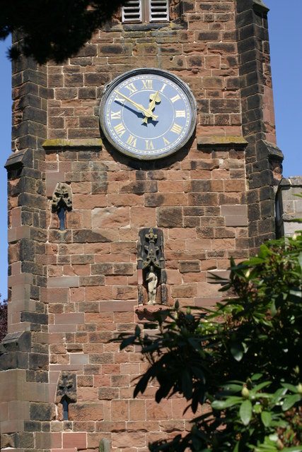
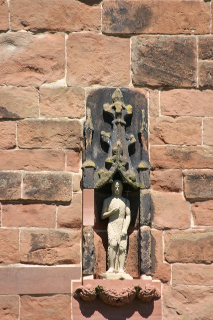
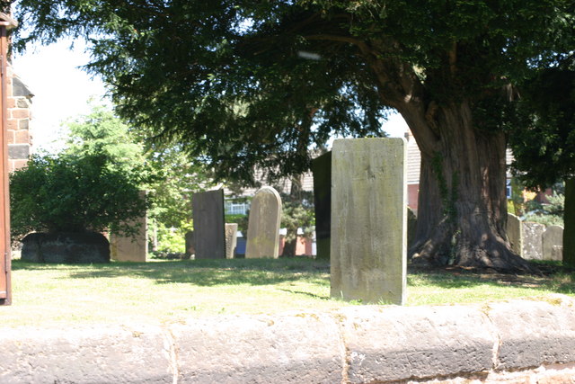
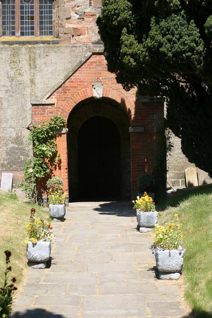
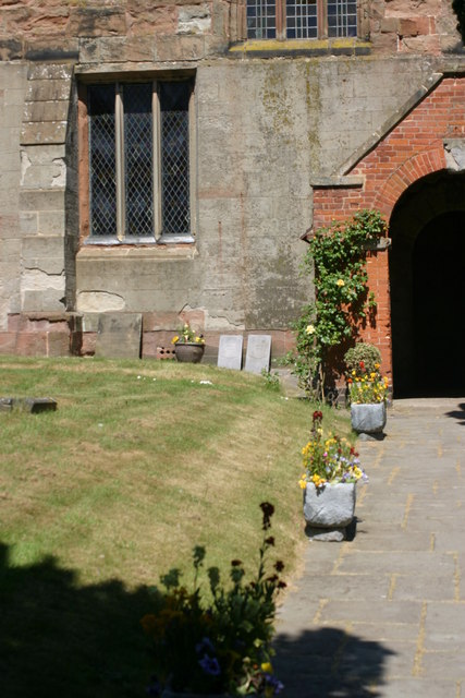
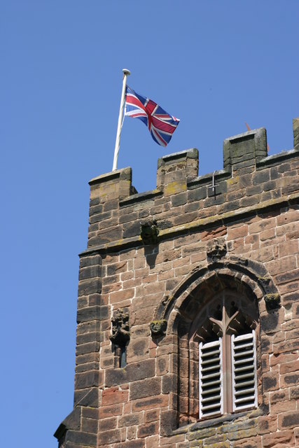
St John the Baptist's Church, Middleton

St John the Baptist is an Anglican parish church in Middleton, Warwickshire. It is a Grade II* listed building. The 17th-century ornithologist Francis...

Allen End

Allen End is a hamlet in the civil parish of Middleton, in Warwickshire, England. == External links == Media related to Allen End at Wikimedia Commons

Bodymoor Heath Training Ground

Bodymoor Heath Training Ground is Aston Villa Football Club's training ground, located at Bodymoor Heath in the North Warwickshire district of Warwickshire...

Related Videos

The Big Play Barn, Ashend Farm, Tamworth

Experience of The Big Play Barn, Tamworth 2024.

Nearby Amenities

Located within 500m of 52.577048,-1.740836
Power: tower
Lat/Long: 52.5804505/-1.7447057
Power: tower
Lat/Long: 52.5778344/-1.7421927
Power: tower
Lat/Long: 52.5753392/-1.7397727
The data included in this document is from www.openstreetmap.org. The data is made available under ODbL.

Have you been to Middleton?

Leave your review of Middleton below (or comments, questions and feedback).