Linstead Parva
Civil Parish in Suffolk East Suffolk
England
Linstead Parva
Linstead Parva is a civil parish located in the county of Suffolk, England. It is situated approximately 12 miles northeast of the town of Ipswich and 6 miles southwest of the town of Woodbridge. The parish covers an area of about 2 square miles.
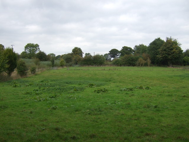
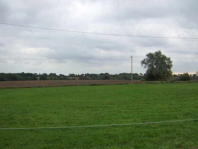
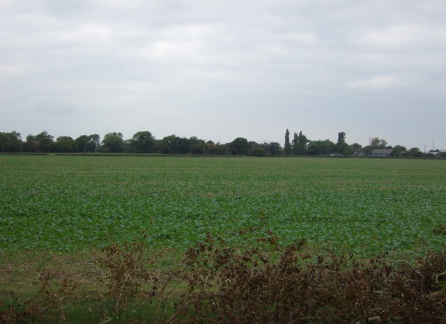
The village of Linstead Parva is small and rural, with a population of around 100 people. It is characterized by its picturesque countryside, with rolling hills, green fields, and charming country cottages. The parish is predominantly agricultural, with farming being the main occupation of its residents.
The village has a long history, with evidence of human habitation dating back to the Roman times. The name "Linstead" is believed to derive from the Old English words "hlinc" meaning hill, and "stede" meaning place, indicating its geographical characteristics.
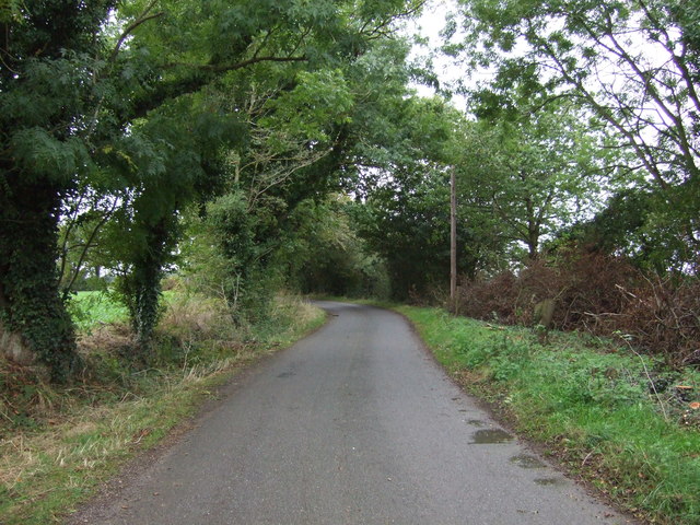
Linstead Parva is known for its tranquility and natural beauty, making it a popular destination for those seeking a peaceful rural retreat. The area offers several walking and cycling routes, allowing visitors to explore the surrounding countryside and enjoy the scenic views.
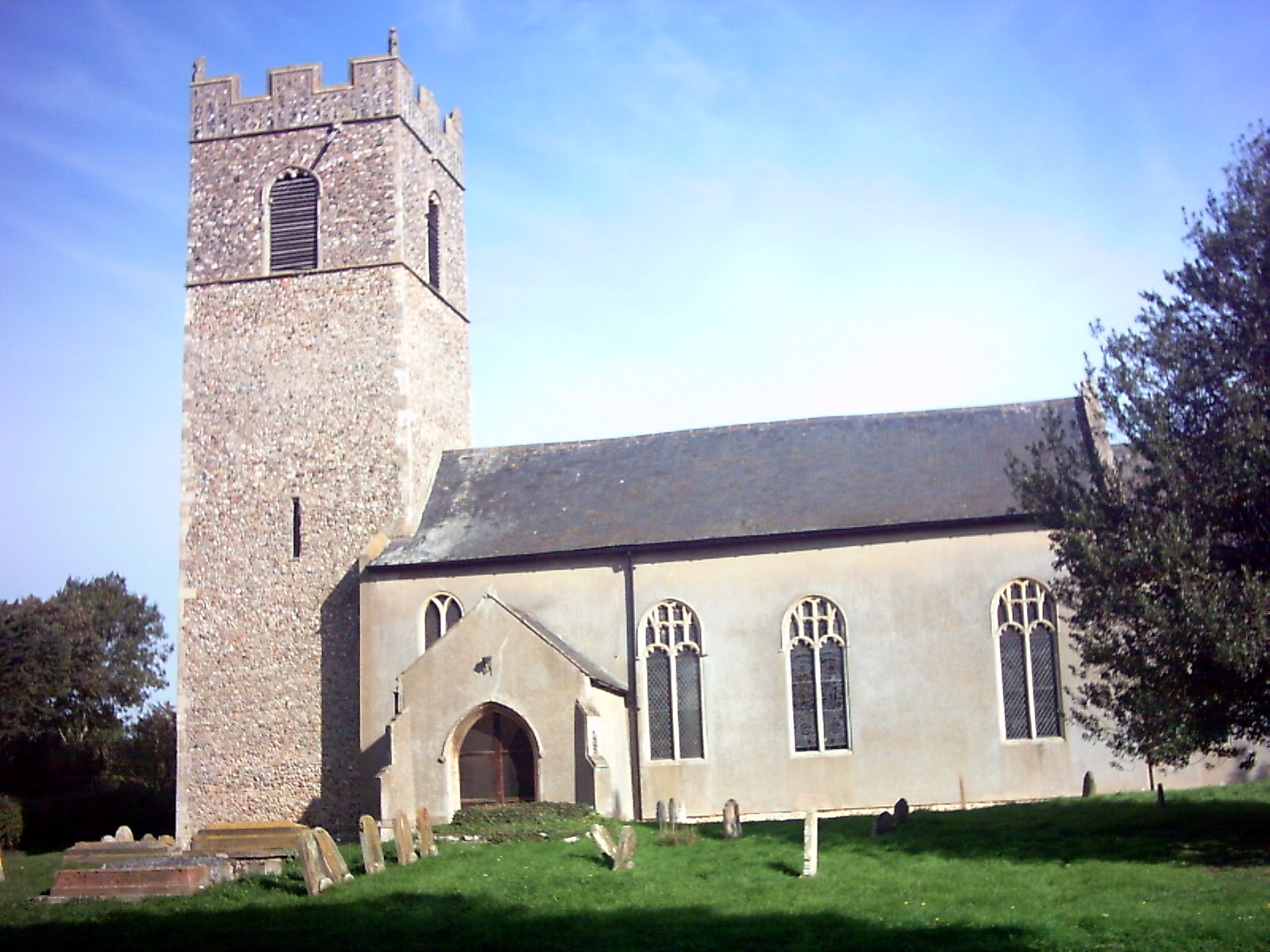
Although small in size, Linstead Parva has a strong sense of community. The village has a local church, St. Margaret's, which dates back to the 12th century and is still in use today. The church plays an important role in village life, hosting regular services and community events.
Overall, Linstead Parva is a charming and idyllic village in Suffolk, offering a peaceful and scenic setting for residents and visitors alike.
If you have any feedback on the listing, please let us know in the comments section below.
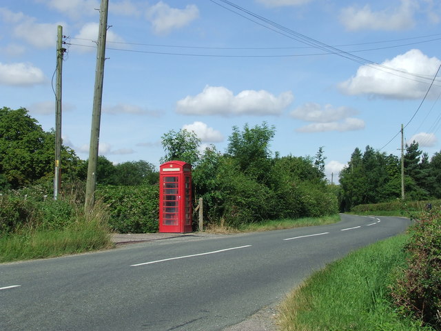
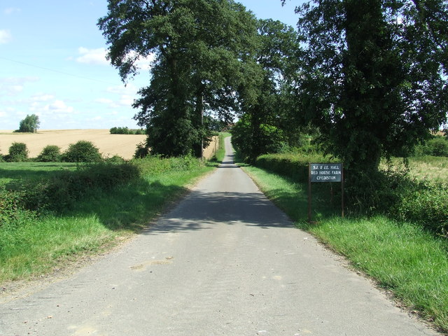
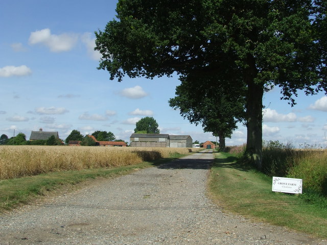
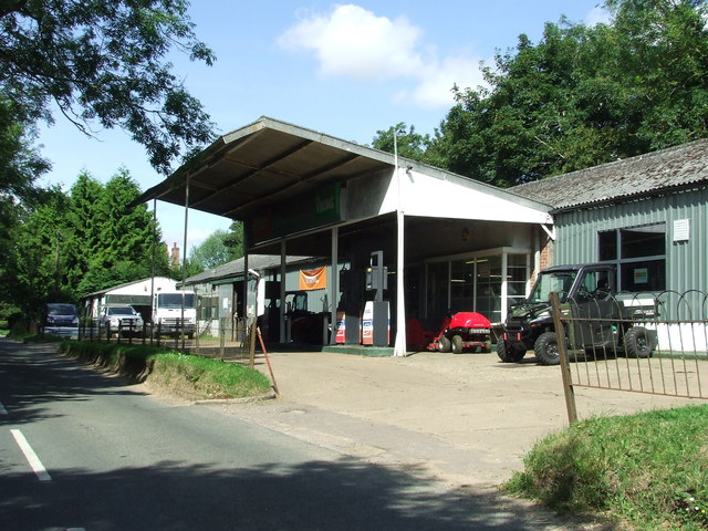
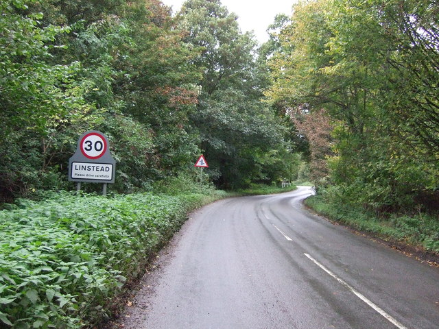
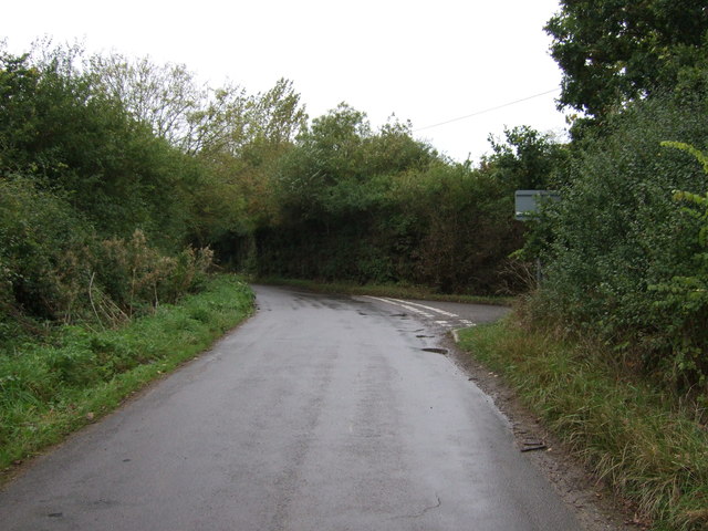
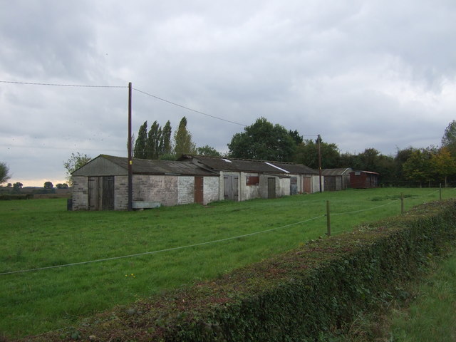
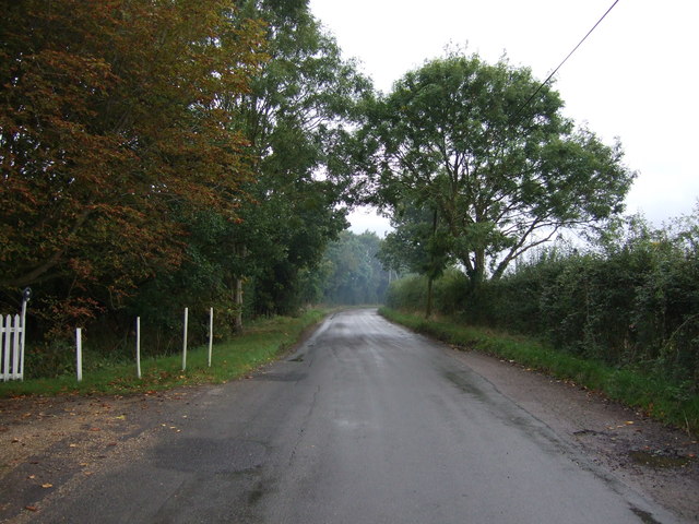
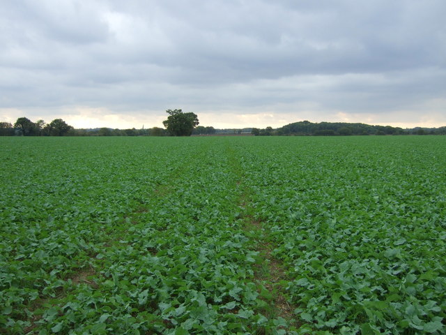
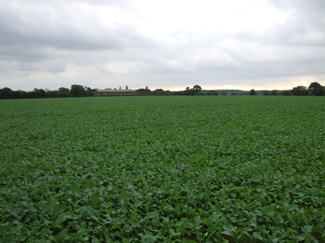
Linstead Parva Images
Images are sourced within 2km of 52.348865/1.416942 or Grid Reference TM3277. Thanks to Geograph Open Source API. All images are credited.
Linstead Parva is located at Grid Ref: TM3277 (Lat: 52.348865, Lng: 1.416942)
Administrative County: Suffolk
District: East Suffolk
Police Authority: Suffolk
What 3 Words
///frock.myself.giants. Near Cookley, Suffolk
Nearby Locations
Related Wikis

Linstead Parva
Linstead Parva is a small village and civil parish in the East Suffolk district of Suffolk in eastern England. It has a small but notable 13th-century...
Linstead Magna
Linstead Magna is a civil parish in the East Suffolk district of Suffolk in eastern England. == Population and civil parish == In 2005 its population was...

Cratfield
Cratfield is a village in northern Suffolk, England. "It has a population of 292 according to the 2011 census." Neighbouring villages include Laxfield...
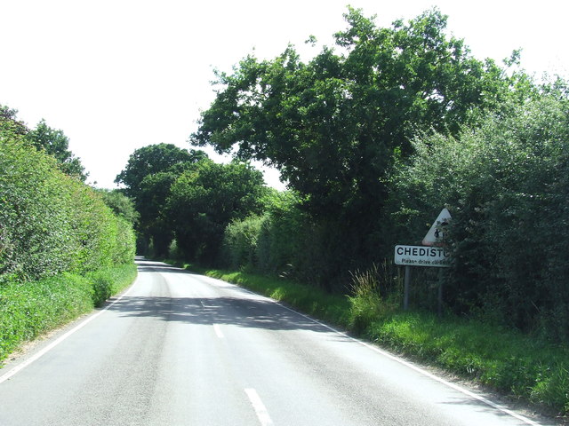
Chediston
Chediston is a village and a civil parish on the B1123 road, in the East Suffolk district, in the English county of Suffolk. It is located 2 miles west...
Nearby Amenities
Located within 500m of 52.348865,1.416942Have you been to Linstead Parva?
Leave your review of Linstead Parva below (or comments, questions and feedback).