Lillings Ambo

Civil Parish in Yorkshire Ryedale

England

Lillings Ambo

A  Footbridge  in  Hiding Over the River Foss,the Centenary Way is on this side of the bridge.
A Footbridge in Hiding Credit: Martin Dawes

Lillings Ambo is a small civil parish located in the Ryedale district of North Yorkshire, England. Situated approximately 10 miles north of the market town of Malton, the parish covers an area of about 2.5 square miles. It is bordered by the larger parishes of West Lilling and East Lilling.

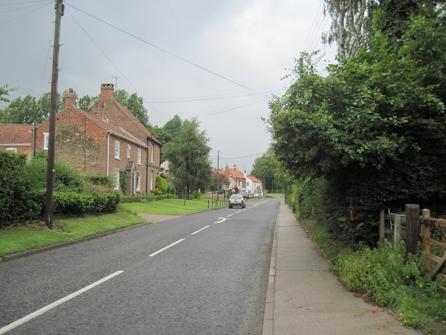
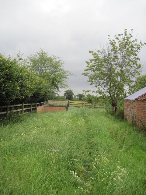
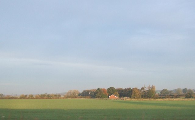
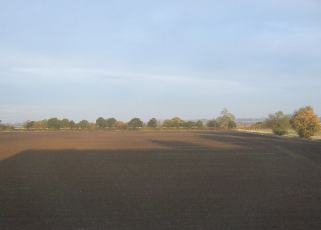
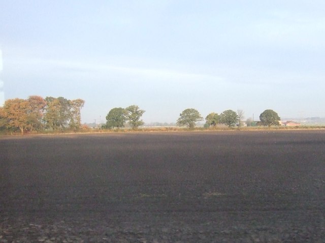
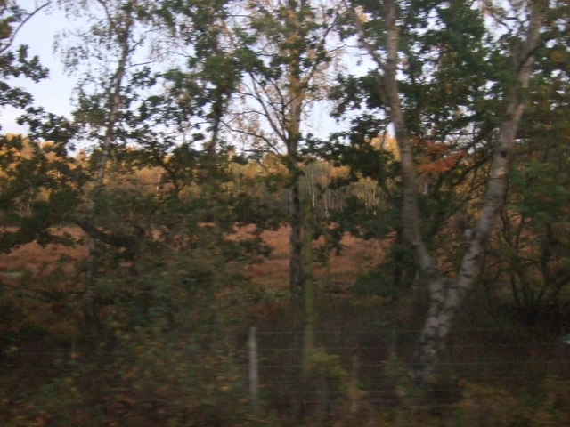
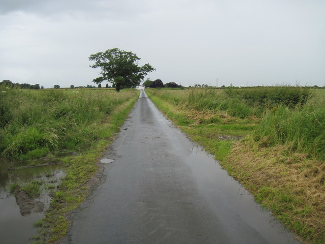
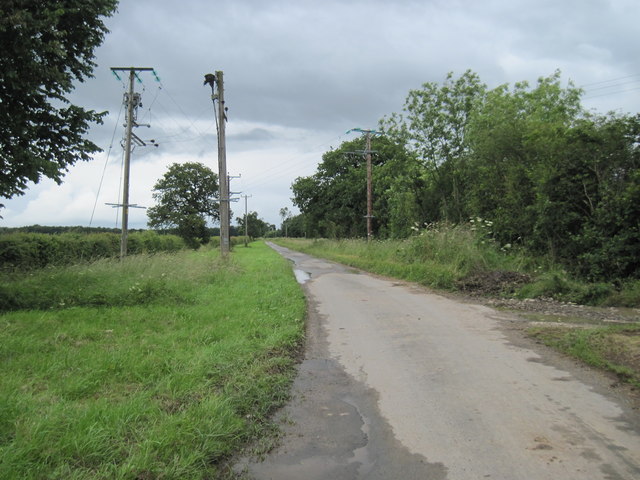
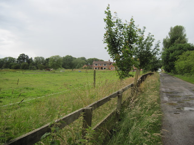
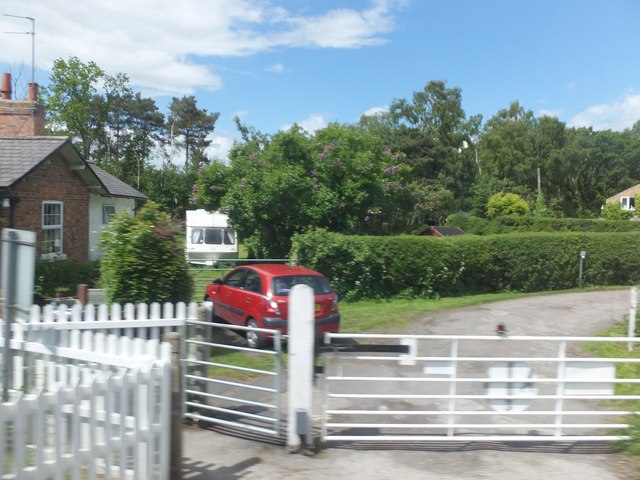
The village of Lillings Ambo itself is a charming rural settlement with a population of around 100 residents. It is characterized by picturesque countryside landscapes, with rolling hills and agricultural fields dominating the surrounding area. The village is known for its peaceful and idyllic atmosphere, making it an attractive place for those seeking a quiet retreat.

Lillings Ambo is home to a few historic buildings, including St. John's Church, which dates back to the 12th century. The church is a Grade II listed building and is known for its beautiful architecture and stained glass windows. The village also has a small primary school, providing education for local children.

Although Lillings Ambo is a predominantly residential area, it benefits from its proximity to larger towns and cities. Malton, with its range of amenities, is within easy reach, offering shopping, leisure, and healthcare facilities. The surrounding countryside provides ample opportunities for outdoor activities such as walking, cycling, and fishing.

Overall, Lillings Ambo is a tranquil and picturesque civil parish that offers a peaceful rural lifestyle in the heart of Yorkshire.

If you have any feedback on the listing, please let us know in the comments section below.

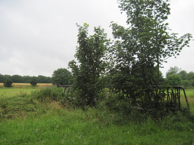
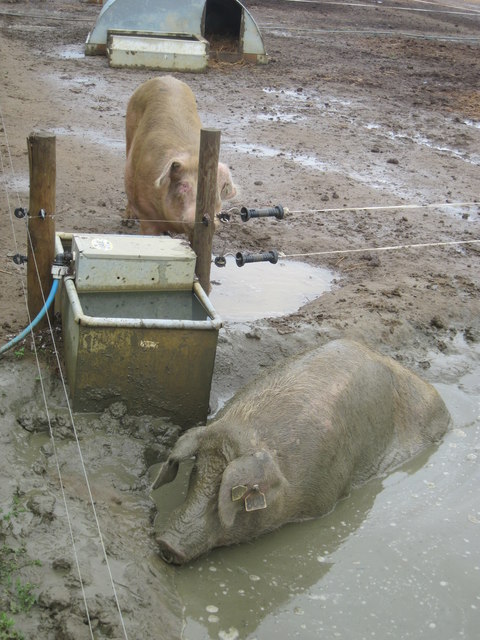
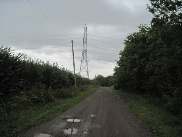
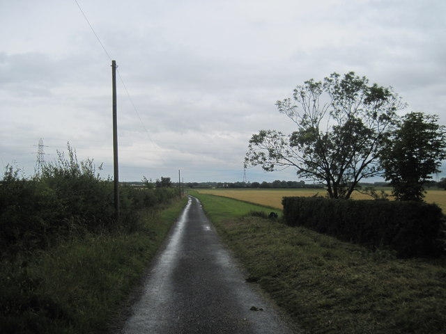
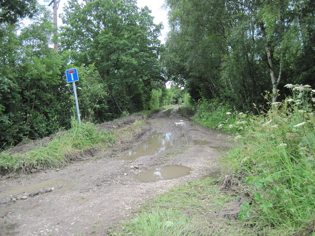
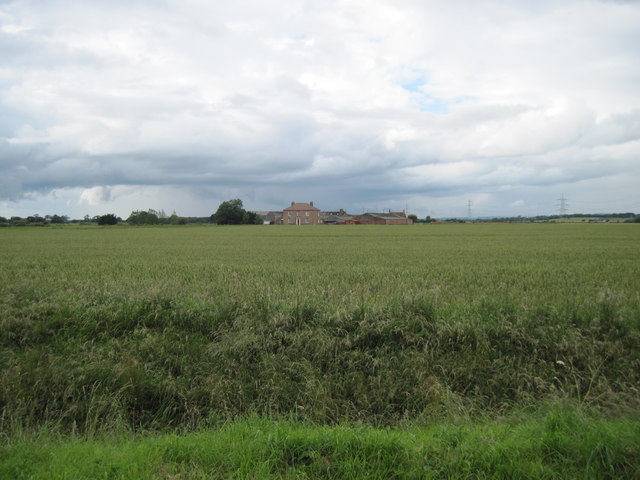
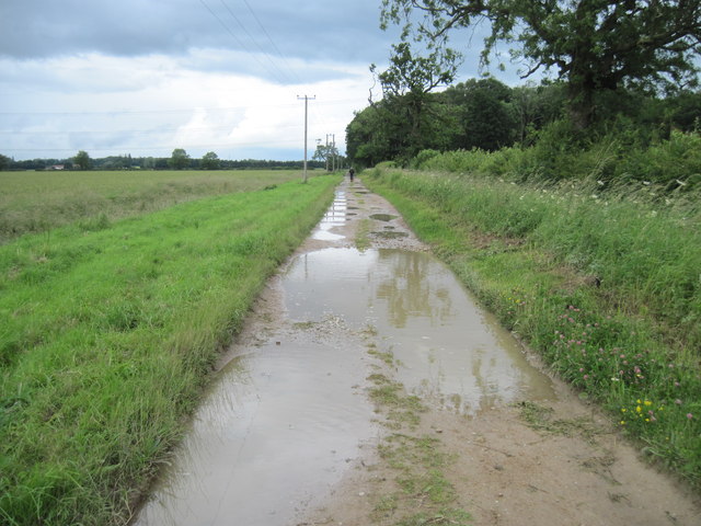
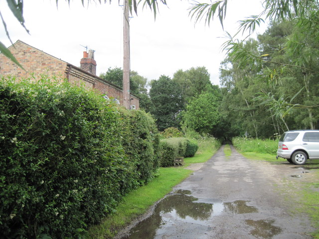
Lillings Ambo Images

Images are sourced within 2km of 54.066108/-1.009764 or Grid Reference SE6463. Thanks to Geograph Open Source API. All images are credited.

A  Footbridge  in  Hiding Over the River Foss,the Centenary Way is on this side of the bridge.
A Footbridge in Hiding
Over the River Foss,the Centenary Way is on this side of the bridge.
After  Rain  a  Proper  Bath Field after field of pigs enjoying? an outdoor life.
After Rain a Proper Bath
Field after field of pigs enjoying? an outdoor life.
Ings  Lane  to  Lilling  Green The Centenary Way comes along this track from the farm.
Ings Lane to Lilling Green
The Centenary Way comes along this track from the farm.
New  Lane  south  of  West  Lilling This lane runs down to Lilling Low Lane. On the Centenary Way.
New Lane south of West Lilling
This lane runs down to Lilling Low Lane. On the Centenary Way.
West  Lilling  Village  Street A small village south of Sheriff Hutton, the Centenary Way crosses the street at this point.
West Lilling Village Street
A small village south of Sheriff Hutton, the Centenary Way crosses the street at this point.
Footpath  from  West  Lilling This F/P once through the gate splits but both go to Sheriff Hutton,the castle of which can be seen between the two trees in the distance. Part of the Centenary Way.
Footpath from West Lilling
This F/P once through the gate splits but both go to Sheriff Hutton,the castle of which can be seen between the two trees in the distance. Part of the Centenary Way.
Farmland towards Spinney Lodge
Farmland near Gennel House
Farmland near The Bungalow Farm
Strensall Common
Strensall Common
Gennell  Lane  toward  Lilling  Lane  junction Minor road to farms and woodland
Gennell Lane toward Lilling Lane junction
Minor road to farms and woodland
Gennell  Lane Smith's Lane to the right
Gennell Lane
Smith's Lane to the right
Smith's  Lane  (Track)  and  Great  Wood
Smith's Lane (Track) and Great Wood
East  Lilling  House  from  Smith's  Lane  (Track)
East Lilling House from Smith's Lane (Track)
Smith's  Lane  (Track) Great Wood is on the right.
Smith's Lane (Track)
Great Wood is on the right.
Track  into  Beck  Wood  from  Common  Road  Crossing
Track into Beck Wood from Common Road Crossing
Track  to  Walbutts  Farm
Track to Walbutts Farm
Level crossing at Common Road To the northeast of Strensall, on the York to Scarborough Line.
Level crossing at Common Road
To the northeast of Strensall, on the York to Scarborough Line.
Show me another place!

Lillings Ambo is located at Grid Ref: SE6463 (Lat: 54.066108, Lng: -1.009764)

Division: North Riding

Administrative County: North Yorkshire

District: Ryedale

Police Authority: North Yorkshire

What 3 Words

///proofread.tops.poems. Near Sheriff Hutton, North Yorkshire

Related Wikis

Lillings Ambo

Lillings Ambo is a civil parish in North Yorkshire, England. It is between the villages of Strensall and Sheriff Hutton, and its southern edge is the border...

Sheriff Hutton Castle

not to be confused with Hutton Castle in the Scottish Borders Sheriff Hutton Castle is a ruined quadrangular castle in the village of Sheriff Hutton,...

Flaxton railway station

Flaxton railway station was a railway station on the York to Scarborough Line serving the village of Flaxton, North Yorkshire, England. It was opened...

Sheriff Hutton

Sheriff Hutton is a village and civil parish in North Yorkshire, England. It lies about 10 miles (16 km) north by north-east of York. == History == The...

Nearby Amenities

Located within 500m of 54.066108,-1.009764
Power: tower
Lat/Long: 54.0627952/-1.0062459
Power: tower
Lat/Long: 54.0640312/-1.0110334
Power: tower
Lat/Long: 54.0653745/-1.0161834
Vending Machine
Check Date: 2022-04-14
Note: Just an honesty box.
Vending: eggs
Lat/Long: 54.0666168/-1.0149103
Note: Longer than this
Lat/Long: 54.066777/-1.0145876
Guidepost Type: route_marker;PROW
Information: guidepost
Tourism: information
Lat/Long: 54.0666332/-1.0148943
The data included in this document is from www.openstreetmap.org. The data is made available under ODbL.

Have you been to Lillings Ambo?

Leave your review of Lillings Ambo below (or comments, questions and feedback).