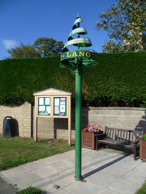
Langtoft

Civil Parish in Lincolnshire South Kesteven

England

Langtoft

Storm laden clouds near Langtoft Looking over a ripening barley crop from Meadow road towards Langtoft.
Storm laden clouds near Langtoft Credit: Michael Trolove

Langtoft is a civil parish located in the South Kesteven district of Lincolnshire, England. Situated approximately 8 miles north of the town of Stamford, it covers an area of around 4.5 square miles. The village itself is small, with a population of just over 1,000 people.

The area has a rich history, dating back to the medieval period. Langtoft's name is believed to derive from the Old Norse words "lang" meaning long, and "toft" meaning settlement, indicating its long-established roots. The village is mentioned in the Domesday Book of 1086, highlighting its importance even in the early Norman period.

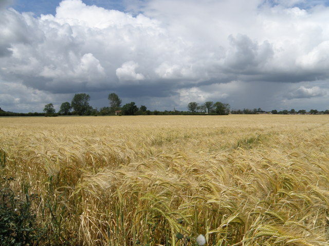
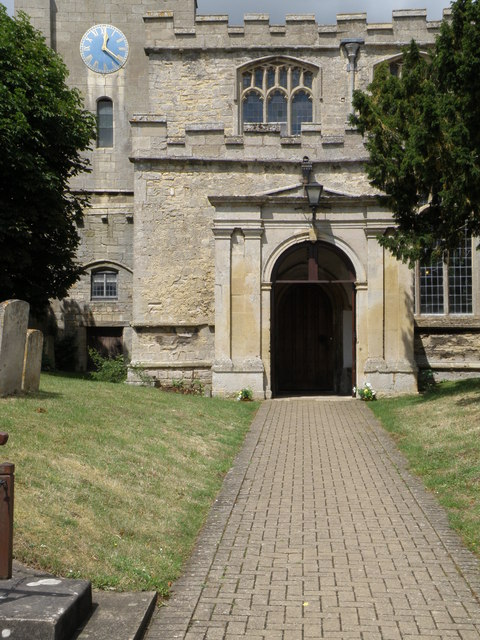
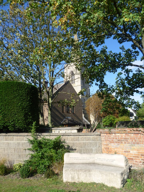
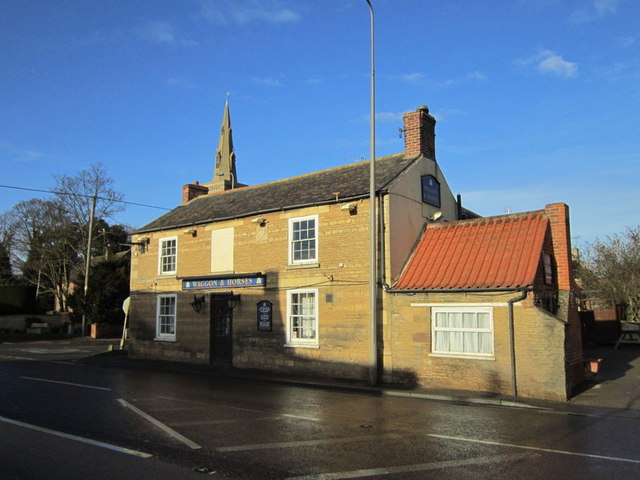
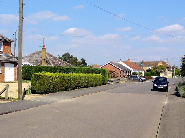
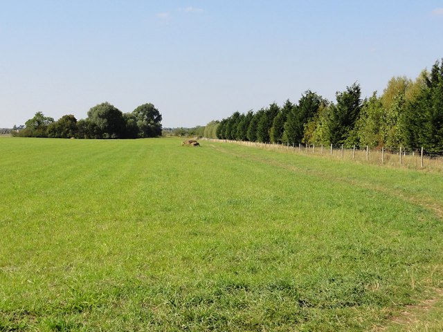
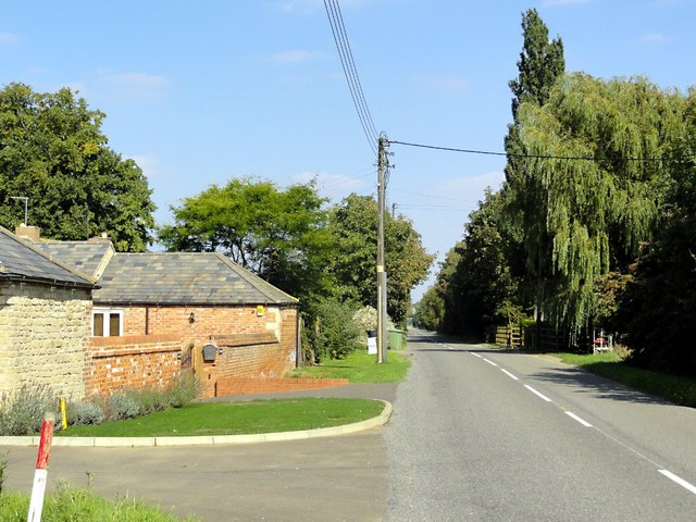
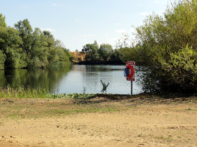
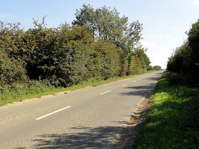
Today, Langtoft retains much of its traditional charm. The village is characterized by its picturesque countryside, with rolling hills and meadows surrounding the area. It is also known for its beautiful church, St. Michael and All Angels, which dates back to the 12th century.

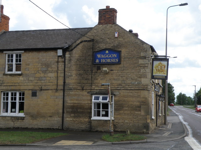
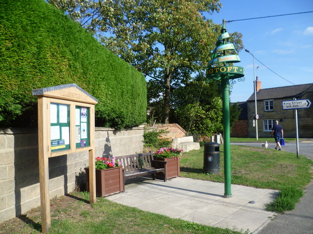
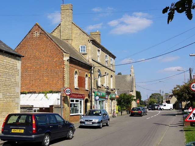
The community in Langtoft is close-knit and vibrant, with a range of amenities and activities for residents. These include a primary school, a village hall, a local shop, and a pub. The village also hosts various events throughout the year, such as the Langtoft Festival, which showcases local talent and celebrates the community spirit.

Langtoft's location offers easy access to nearby towns and cities, with Stamford and Peterborough just a short drive away. This makes it an attractive place to live for those seeking a peaceful rural lifestyle, while still having access to urban amenities.

If you have any feedback on the listing, please let us know in the comments section below.
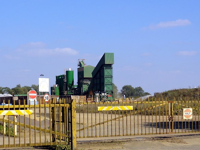
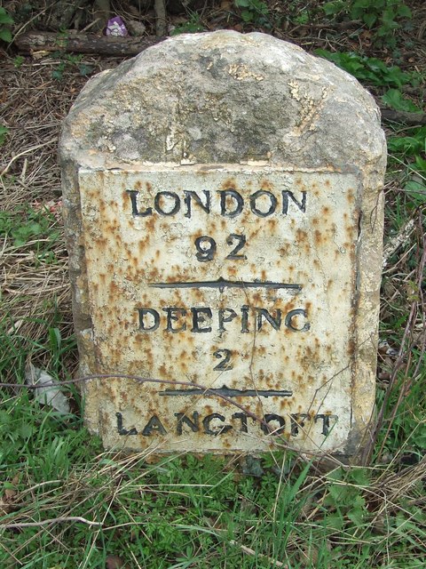
Langtoft Images

Images are sourced within 2km of 52.703049/-0.319614 or Grid Reference TF1313. Thanks to Geograph Open Source API. All images are credited.

Storm laden clouds near Langtoft Looking over a ripening barley crop from Meadow road towards Langtoft.
Storm laden clouds near Langtoft
Looking over a ripening barley crop from Meadow road towards Langtoft.
Flush bracket bench mark fixed to the Waggon & Horses An OS flush bracket adjacent to the A15 fixed to the wall of the Waggon & Horses Inn. <a href="https://www.geograph.org.uk/photo/2467644">TF1212 : Pub in Langtoft</a>
Flush bracket bench mark fixed to the Waggon & Horses
An OS flush bracket adjacent to the A15 fixed to the wall of the Waggon & Horses Inn. TF1212 : Pub in Langtoft
Pub in Langtoft Located by the busy A15 trunk road the pub also sports a flush bracket bench mark on the lower right hand side. See <a href="https://www.geograph.org.uk/photo/2467640">TF1212 : Flush bracket bench mark fixed to the Waggon & Horses</a> for close up detail.
Pub in Langtoft
Located by the busy A15 trunk road the pub also sports a flush bracket bench mark on the lower right hand side. See TF1212 : Flush bracket bench mark fixed to the Waggon & Horses for close up detail.
Bench mark on Langtoft church An OS cut mark easily seen on the porch of Langtoft church.
Bench mark on Langtoft church
An OS cut mark easily seen on the porch of Langtoft church.
Langtoft Church A bench mark can be seen on the lower left of the porch and the church clock was showing the right time.
Langtoft Church
A bench mark can be seen on the lower left of the porch and the church clock was showing the right time.
Langtoft village sign One of the more unusual village signs, Langtoft's sign may be unique. It is on the corner of the busy Bourne Road (A15) with East End. The churchyard is behind the hedge.
Langtoft village sign
One of the more unusual village signs, Langtoft's sign may be unique. It is on the corner of the busy Bourne Road (A15) with East End. The churchyard is behind the hedge.
Village sign and notice board at Langtoft One of the more unusual village signs, Langtoft's sign may be unique. It is on the corner of the busy Bourne Road (A15) with East End. The sign, the notice board, the seats and the flower tubs have all brightened up this corner. The churchyard is behind the hedge.
Village sign and notice board at Langtoft
One of the more unusual village signs, Langtoft's sign may be unique. It is on the corner of the busy Bourne Road (A15) with East End. The sign, the notice board, the seats and the flower tubs have all brightened up this corner. The churchyard is behind the hedge.
St Michael and All Angels Church, Langtoft This is the view from the corner of the busy Bourne Road (A15) with East End. The church of St Michael and All Angels is Early English and Decorated.
St Michael and All Angels Church, Langtoft
This is the view from the corner of the busy Bourne Road (A15) with East End. The church of St Michael and All Angels is Early English and Decorated.
The Waggon & Horses, Langtoff
West End Road, Langtoft Bungalow housing lines the road.
West End Road, Langtoft
Bungalow housing lines the road.
Langtoft Village Centre Looking along West End Road approaching the junction with the A15 at the centre of the village.
Langtoft Village Centre
Looking along West End Road approaching the junction with the A15 at the centre of the village.
Grass and Trees Looking along the edge of a long narrow plantation. The semicircle of trees in the distance cover part of an ancient moat.
Grass and Trees
Looking along the edge of a long narrow plantation. The semicircle of trees in the distance cover part of an ancient moat.
Langtoft Outgang Road Looking north east along the road with Park Farm on the left.
Langtoft Outgang Road
Looking north east along the road with Park Farm on the left.
Flooded Gravel Pit This area is covered with these flooded gravel pits, what remains when gravel extraction has moved on, but getting a view of them from the road is frustratingly difficult. I don't think public access is allowed but there is a lifebuoy here just in case.
Flooded Gravel Pit
This area is covered with these flooded gravel pits, what remains when gravel extraction has moved on, but getting a view of them from the road is frustratingly difficult. I don't think public access is allowed but there is a lifebuoy here just in case.
Sand And Gravel Works This looks to be the main entrance to the sorting and storage facility.
Sand And Gravel Works
This looks to be the main entrance to the sorting and storage facility.
Cross Road The thick hedges hide the flooded gravel pits on either side of this straight fenland road.
Cross Road
The thick hedges hide the flooded gravel pits on either side of this straight fenland road.
Gravel Works Looking through the gate to the gravel processing works.
Gravel Works
Looking through the gate to the gravel processing works.
Deeping 2 Milestone on the A.15 near to Langtoft, Lincolnshire. For overall view see <a title="https://www.geograph.org.uk/photo/2868511" href="https://www.geograph.org.uk/photo/2868511">Link</a>
Deeping 2
Milestone on the A.15 near to Langtoft, Lincolnshire. For overall view see Link
Show me another place!

Langtoft is located at Grid Ref: TF1313 (Lat: 52.703049, Lng: -0.319614)

Administrative County: Lincolnshire

District: South Kesteven

Police Authority: Lincolnshire

What 3 Words

///gravitate.formal.bulges. Near Langtoft, Lincolnshire

Nearby Locations

Langtoft

Related Wikis

Langtoft, Lincolnshire

Langtoft is a village and civil parish in the South Kesteven district of Lincolnshire, England. The population of the civil parish at the 2021 census was...

Deeping Rangers F.C.

Deeping Rangers Football Club is a football club based in Market Deeping, Lincolnshire, England. They were established in 1964 and originally played at...

A1175 road

The A1175 road is a road in south-west Lincolnshire, England. It runs between Stamford and Spalding, along the old A16 route. == History == It was previously...
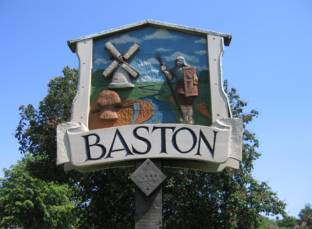
Baston

Baston is a village and parish on the edge of The Fens and in the administrative district of South Kesteven, Lincolnshire, England. The 2011 census reported...

Nearby Amenities

Located within 500m of 52.703049,-0.319614
The Meadow
Place: locality
Source: Bing
Lat/Long: 52.6997195/-0.3161571
The data included in this document is from www.openstreetmap.org. The data is made available under ODbL.

Have you been to Langtoft?

Leave your review of Langtoft below (or comments, questions and feedback).