Humber

Civil Parish in Herefordshire

England

Humber

A44 at the entrance to Docklow Pools
A44 at the entrance to Docklow Pools Credit: Peter Whatley

Humber is a small civil parish located in the county of Herefordshire, England. It is situated in the western part of the county, near the border with Wales. The parish covers an area of approximately 6 square miles and has a population of around 100 residents.

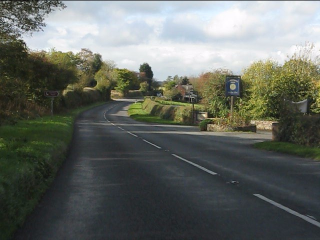
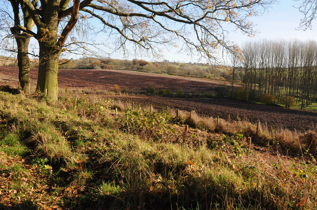
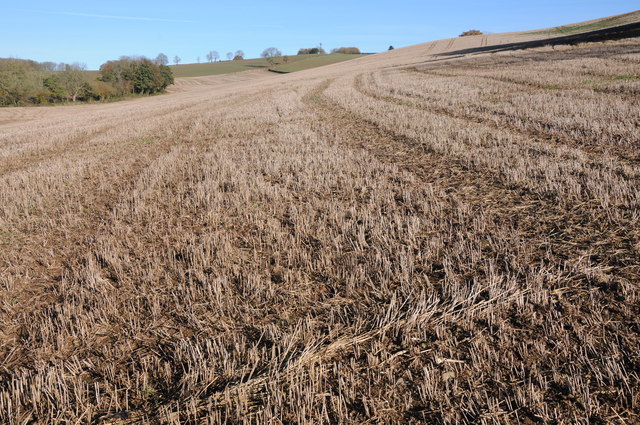
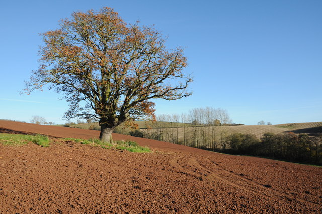
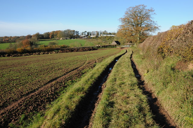
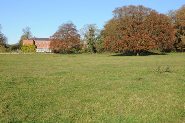
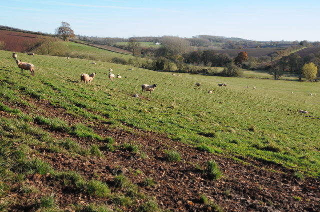
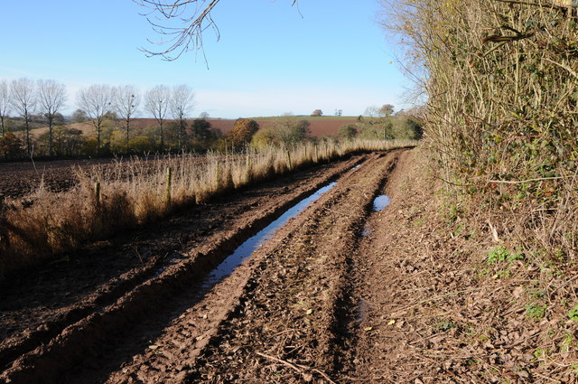
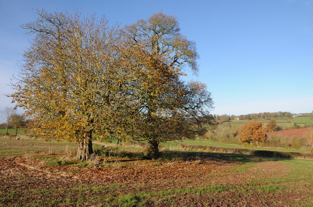
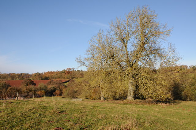
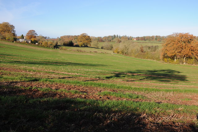
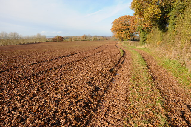
The landscape of Humber is characterized by rolling hills and lush green fields, typical of the rural countryside of Herefordshire. The area is known for its picturesque scenery and tranquil atmosphere, making it an ideal destination for those seeking a peaceful retreat.

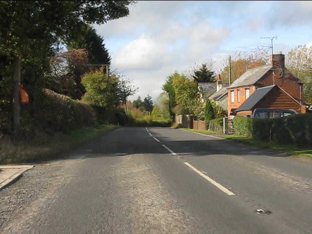
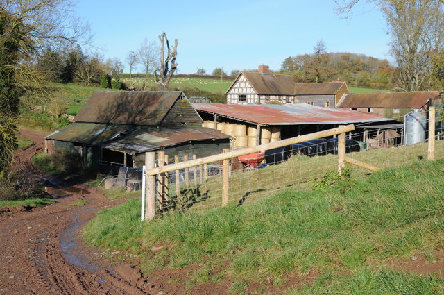
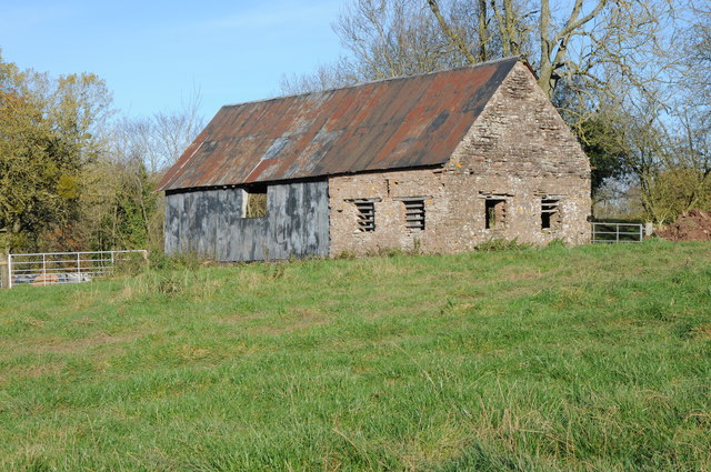
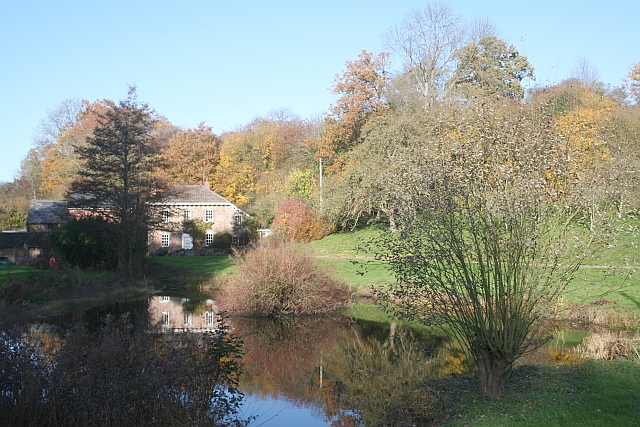
The village of Humber itself consists of a few scattered houses and farms, with the St. Mary's Church serving as the religious focal point of the community. The church dates back to the 12th century and features beautiful Norman architecture.

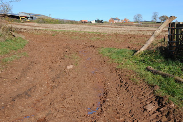
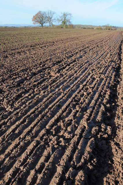
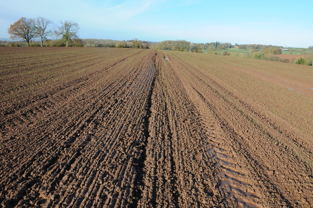
Despite its small size, Humber has a rich history. The parish was mentioned in the Domesday Book of 1086, indicating its existence even before the Norman Conquest. Over the centuries, the area has been primarily agricultural, with farming being the main occupation of its inhabitants.

Today, Humber remains predominantly rural, with farming and agriculture playing a significant role in the local economy. The parish is also a popular destination for outdoor enthusiasts, offering opportunities for walking, hiking, and exploring the surrounding countryside.

Overall, Humber, Herefordshire is a charming and serene civil parish, perfect for those seeking a peaceful escape in the heart of the English countryside.

If you have any feedback on the listing, please let us know in the comments section below.

Humber Images

Images are sourced within 2km of 52.193931/-2.646575 or Grid Reference SO5555. Thanks to Geograph Open Source API. All images are credited.

A44 at the entrance to Docklow Pools
Roadside cottage, Docklow
Burnt Mill Burnt Mill viewed from the south, these appears to be a new farm as it does not appear on my OS map but is on the latest electronic version.
Burnt Mill
Burnt Mill viewed from the south, these appears to be a new farm as it does not appear on my OS map but is on the latest electronic version.
Farmland near Burnt Mill Farm View of farmland from a bridleway in the valley below Burnt Mill Farm.
Farmland near Burnt Mill Farm
View of farmland from a bridleway in the valley below Burnt Mill Farm.
Stubble field near Docklow A large field of stubble viewed from a bridleway to the south of Docklow.
Stubble field near Docklow
A large field of stubble viewed from a bridleway to the south of Docklow.
Tree in a ploughed field An oak in a ploughed field beside a bridleway to the south of Docklow.
Tree in a ploughed field
An oak in a ploughed field beside a bridleway to the south of Docklow.
Bridleway approaching Buckland Bridleway and farmland track approaching Buckland and Lower Buckland which is hidden in the valley in the middle distance.
Bridleway approaching Buckland
Bridleway and farmland track approaching Buckland and Lower Buckland which is hidden in the valley in the middle distance.
Lower Buckland Lower Buckland Farm viewed from the passing bridleway.
Lower Buckland
Lower Buckland Farm viewed from the passing bridleway.
Buckland Buckland, a large Georgian-style country house viewed from the footpath to the south.
Buckland
Buckland, a large Georgian-style country house viewed from the footpath to the south.
Sheep grazing above Holly Brook Holly Brook flows through this valley to the south of Docklow.
Sheep grazing above Holly Brook
Holly Brook flows through this valley to the south of Docklow.
Very wet ploughed field This arable field has recently been planted with a winter cereal but after so much rain the ground here has the consistency of wet concrete.
Very wet ploughed field
This arable field has recently been planted with a winter cereal but after so much rain the ground here has the consistency of wet concrete.
Footpath across a very wet ploughed field After a very wet summer and autumn there is little pleasure walking across a footpath such as this one.
Footpath across a very wet ploughed field
After a very wet summer and autumn there is little pleasure walking across a footpath such as this one.
Muddy track The bridleway actually passes to the right behind the hedge in Lodge Coppice however it was overgrown and impassable so I had to follow this muddy track instead.
Muddy track
The bridleway actually passes to the right behind the hedge in Lodge Coppice however it was overgrown and impassable so I had to follow this muddy track instead.
Old barn Old traditional stone and tin barn at Lower Buckland.
Old barn
Old traditional stone and tin barn at Lower Buckland.
Chestnut trees in a field Chestnut trees in an arable field near Risbury.
Chestnut trees in a field
Chestnut trees in an arable field near Risbury.
Ash trees Ash trees in farmland near Holly Brook to the east of Risbury.
Ash trees
Ash trees in farmland near Holly Brook to the east of Risbury.
Arable field above Holly Brook A footpath crosses this arable field above Holly Brook, the large Georgian house across the valley is Buckland.
Arable field above Holly Brook
A footpath crosses this arable field above Holly Brook, the large Georgian house across the valley is Buckland.
Headland footpath A footpath to Buckland follows this field headland track before crossing a very wet ploughed field
Headland footpath
A footpath to Buckland follows this field headland track before crossing a very wet ploughed field
Show me another place!

Humber is located at Grid Ref: SO5555 (Lat: 52.193931, Lng: -2.646575)

Unitary Authority: County of Herefordshire

Police Authority: West Mercia

What 3 Words

///bonfires.acrobatic.saving. Near Humber, Herefordshire

Nearby Locations

Humber

Related Wikis

Risbury

Risbury is a village in the civil parish of Humber in Herefordshire, England, and 4 miles (6 km) south-east of Leominster. There used to be a Methodist...

Docklow and Hampton Wafer

Docklow and Hampton Wafer (alternatively Docklow and Hampton Wafre), is a civil parish in the county of Herefordshire, England, and is 11 miles (18 km...

Humber, Herefordshire

Humber is a hamlet and civil parish in the county of Herefordshire, England, and is 10 miles (16 km) north from the city and county town of Hereford. The...

Steens Bridge railway station

Steens Bridge railway station was a station to the east of Stoke Prior, Herefordshire, England. The station was opened in 1884 and closed in 1952. ��2...

Related Videos

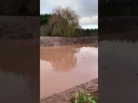
Docklow Pools - December 20

Converting the snake into a pool.

Nearby Amenities

Located within 500m of 52.193931,-2.646575
Turning Ways
Naptan AtcoCode: 2090A107300
Naptan Bearing: W
Naptan BusStopType: CUS
Naptan CommonName: Turning Ways
Naptan Indicator: adj
Naptan Landmark: N/K
Naptan NaptanCode: heradmpt
Naptan Street: N/K
Naptan Verified: no
Source: naptan_import
Lat/Long: 52.1900932/-2.6435975
Public Transport: stop_position
Lat/Long: 52.1901295/-2.6435772
The data included in this document is from www.openstreetmap.org. The data is made available under ODbL.

Have you been to Humber?

Leave your review of Humber below (or comments, questions and feedback).