Hoxne

Civil Parish in Suffolk Mid Suffolk

England

Hoxne

The driveway to Chickering Hall Farm The farmhouse dates back to around c1500.
The driveway to Chickering Hall Farm Credit: Robert Edwards

Hoxne is a civil parish located in the district of Mid Suffolk in the county of Suffolk, England. It is a rural village situated on the River Dove, approximately 20 miles south of the city of Norwich. The parish covers an area of approximately 5.5 square miles and is home to a population of around 1,000 people.

The village has a rich history, dating back to Roman times when it was an important settlement along the ancient Icknield Way. Hoxne is perhaps most famous for its archaeological discoveries, including the Hoxne Hoard, one of the largest collections of Roman gold and silver ever found in Britain. Discovered in 1992 by a metal detectorist, the hoard is now displayed in the British Museum in London.

Hoxne is a picturesque village with a mix of historic and modern buildings. It boasts a beautiful medieval church, St. Peter and St. Paul, which dates back to the 15th century and is known for its impressive tower. The village also has a primary school, several small shops, and a village hall which hosts various community events.

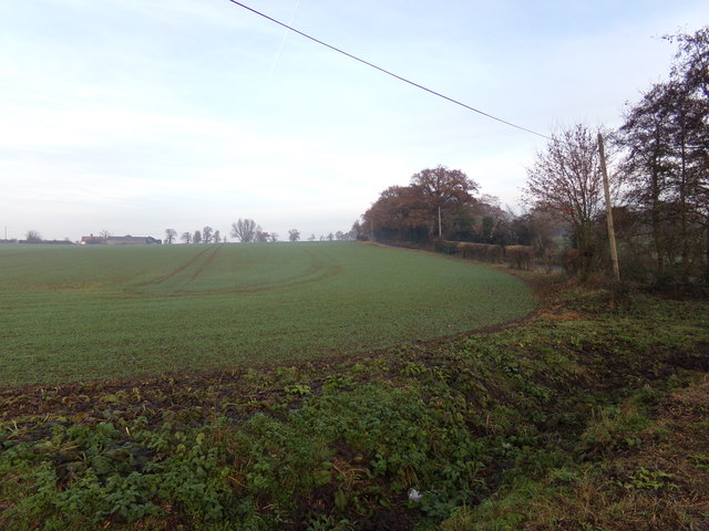
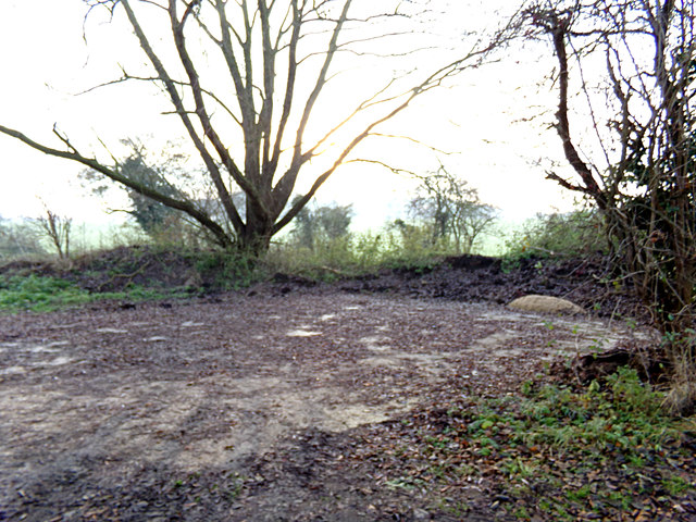
Nature lovers can enjoy the surrounding countryside, with plenty of walking and cycling routes available. The River Dove provides opportunities for fishing and boating, while nearby Hoxne Heath is a designated Site of Special Scientific Interest, home to a variety of flora and fauna.

Overall, Hoxne is a charming and historic village, offering a peaceful and rural lifestyle in the heart of Suffolk.

If you have any feedback on the listing, please let us know in the comments section below.
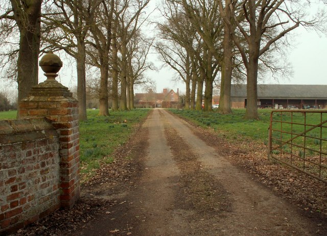
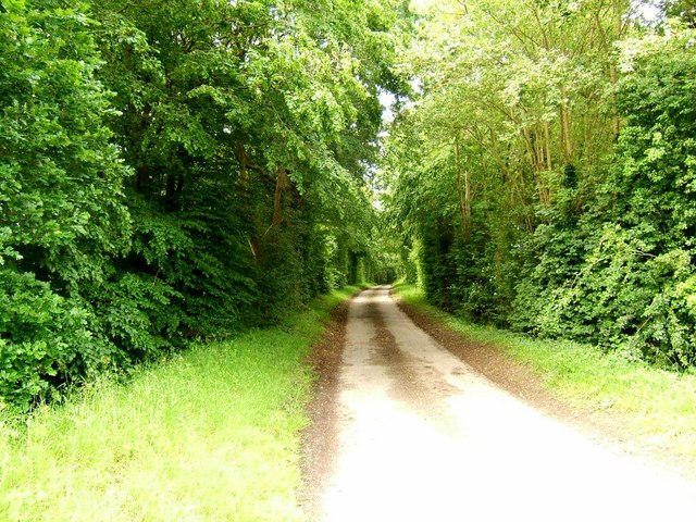
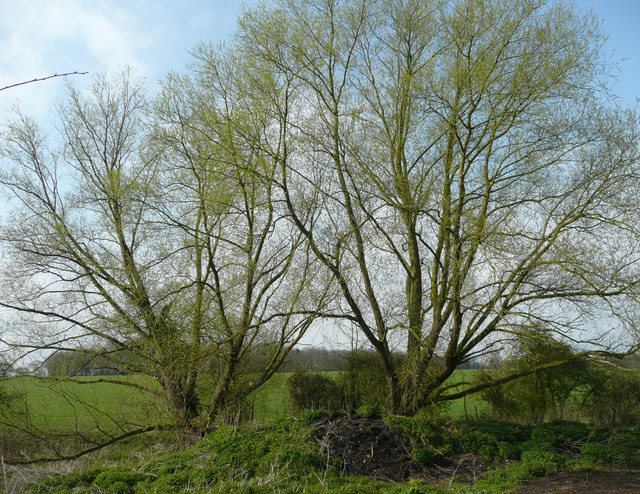
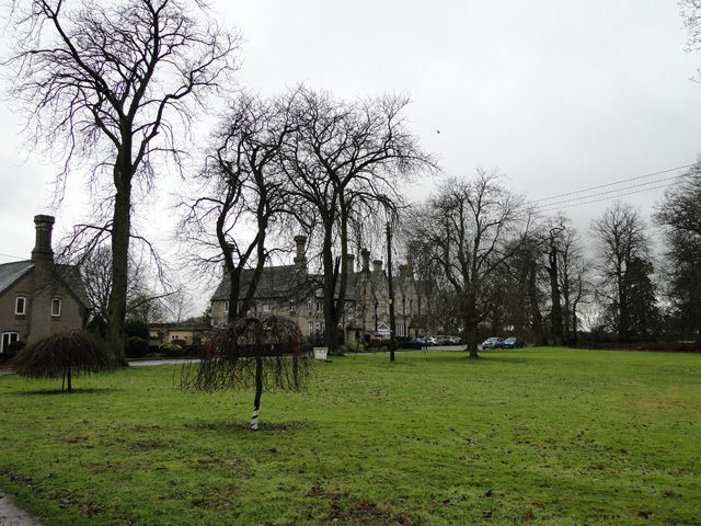
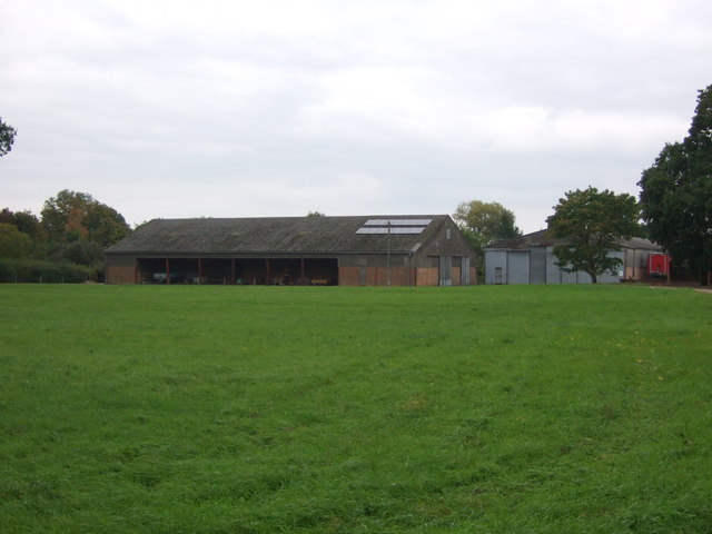
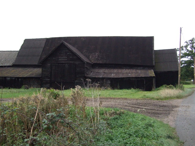
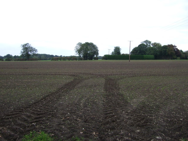
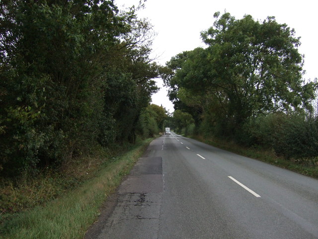
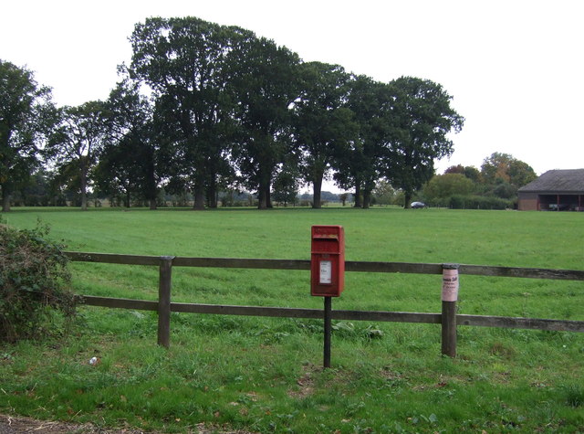
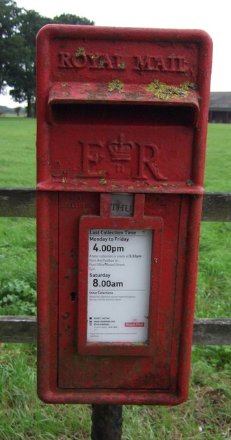
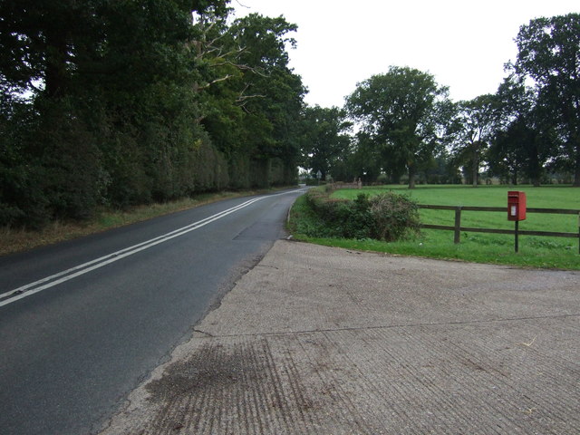
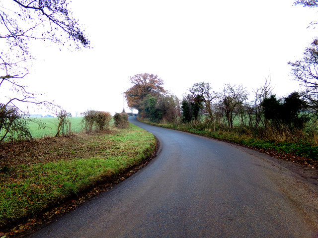
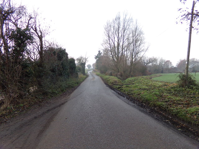
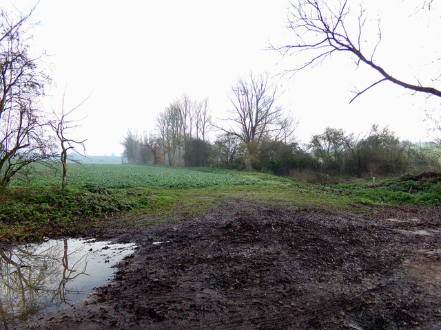
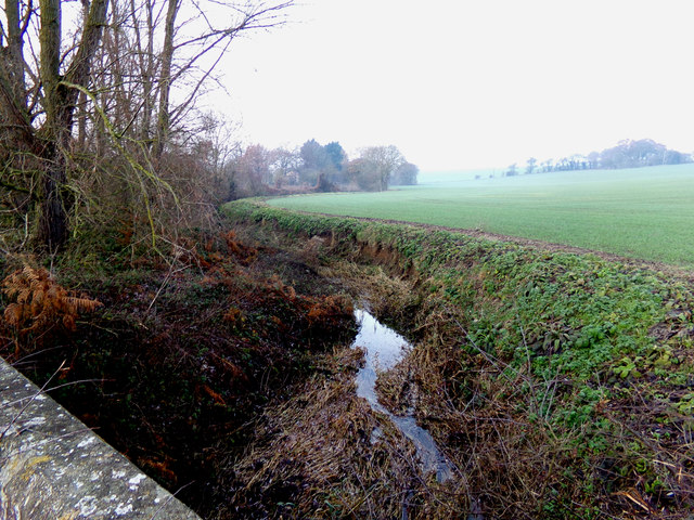
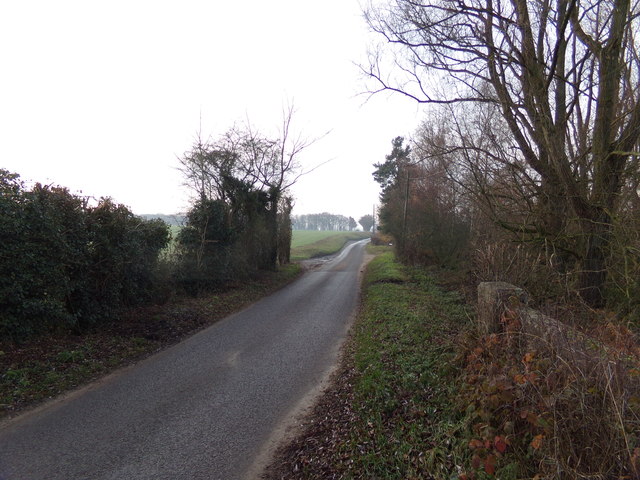
Hoxne Images

Images are sourced within 2km of 52.343427/1.213147 or Grid Reference TM1876. Thanks to Geograph Open Source API. All images are credited.

The driveway to Chickering Hall Farm The farmhouse dates back to around c1500.
The driveway to Chickering Hall Farm
The farmhouse dates back to around c1500.
Driveway to Park Farm
Willows in spring These trees are at the low point of a shallow Suffolk valley.
Willows in spring
These trees are at the low point of a shallow Suffolk valley.
The Depperhaugh,  old peoples home, Oakley
The Depperhaugh, old peoples home, Oakley
Farm buildings, Chickering Hall
Old barn, Chickering Corner Farm
Field near Chickering Corner Farm Off the B1118.
Field near Chickering Corner Farm
Off the B1118.
B1118 towards Hoxne Heading north west near Chickering Corner Farm.
B1118 towards Hoxne
Heading north west near Chickering Corner Farm.
Elizabeth II postbox on Chickering Road, Chickering Postbox No. IP21 7092.

See <a href="https://www.geograph.org.uk/photo/5170774">TM2076 : Close up, Elizabeth II postbox on Chickering Road, Chickering</a> for close up.

See <a href="https://www.geograph.org.uk/photo/5170778">TM2076 : Chickering Road (B1118), Chickering</a> for contrast.
Elizabeth II postbox on Chickering Road, Chickering
Close up, Elizabeth II postbox on Chickering Road, Chickering Postbox No. IP21 7092.

See <a href="https://www.geograph.org.uk/photo/5170769">TM2076 : Elizabeth II postbox on Chickering Road, Chickering</a> for wider view.
Close up, Elizabeth II postbox on Chickering Road, Chickering
Postbox No. IP21 7092. See TM2076 : Elizabeth II postbox on Chickering Road, Chickering for wider view.
Chickering Road (B1118), Chickering Showing position of Postbox No. IP21 7092.

See <a href="https://www.geograph.org.uk/photo/5170769">TM2076 : Elizabeth II postbox on Chickering Road, Chickering</a> for postbox.
Chickering Road (B1118), Chickering
Showing position of Postbox No. IP21 7092. See TM2076 : Elizabeth II postbox on Chickering Road, Chickering for postbox.
Chickering Road, Chickering
Chickering Road, Chickering Approaching Chickering Bridge
Chickering Road, Chickering
Approaching Chickering Bridge
Farmland off Chickering Road <span class="nowrap"><a title="https://en.wikipedia.org/wiki/Chickering,_Suffolk" rel="nofollow ugc noopener" href="https://en.wikipedia.org/wiki/Chickering,_Suffolk">Link</a><img style="margin-left:2px;" alt="External link" title="External link - shift click to open in new window" src="https://s1.geograph.org.uk/img/external.png" width="10" height="10"/></span>
Farmland off Chickering Road
River off Chickering Road At Chickering Bridge
River off Chickering Road
At Chickering Bridge
Chickering Road at Chickering Bridge
Farmland off Chickering Road
Concrete Hardstanding off Chickering Road <span class="nowrap"><a title="https://en.wikipedia.org/wiki/Chickering,_Suffolk" rel="nofollow ugc noopener" href="https://en.wikipedia.org/wiki/Chickering,_Suffolk">Link</a><img style="margin-left:2px;" alt="External link" title="External link - shift click to open in new window" src="https://s1.geograph.org.uk/img/external.png" width="10" height="10"/></span>
Concrete Hardstanding off Chickering Road
Show me another place!

Hoxne is located at Grid Ref: TM1876 (Lat: 52.343427, Lng: 1.213147)

Administrative County: Suffolk

District: Mid Suffolk

Police Authority: Suffolk

What 3 Words

///incurring.oiled.evaded. Near Scole, Norfolk

Nearby Locations

Cross Street Hoxne

Related Wikis

St Edmund's Memorial, Hoxne

St Edmund's Memorial, Hoxne is a memorial which claims to mark the spot where St Edmund was killed by the Vikings in the Suffolk village of Hoxne. The...

Hoxne Priory

Hoxne Priory was a Benedictine priory at Hoxne in Suffolk, England. It was founded as a religious house around the year 950, with a chapel at the supposed...

Hoxne

Hoxne ( HOK-sən) is a village in the Mid Suffolk district of Suffolk, England, about five miles (8 km) east-southeast of Diss, Norfolk and 1⁄2 mile (800...

Hoxne Brick Pit

Hoxne Brick Pit is a 1.3-hectare (3.2-acre) geological Site of Special Scientific Interest in Hoxne in Suffolk, England. It is a Geological Conservation...

Nearby Amenities

Located within 500m of 52.343427,1.213147
Barrier: kissing_gate
Lat/Long: 52.3471287/1.2143509
Hoxne Heritage Walk 6
Board Type: history
Designation: Board 6 - Brakey Wood
Information: board
Source: http://www.hoxnehistory.org.uk/HHW%20Board%206.pdf
Tourism: information
Lat/Long: 52.3471398/1.2141487
Hoxne Man
Artwork Type: statue
Tourism: artwork
Lat/Long: 52.3465897/1.2125259
Bench
Backrest: yes
Material: wood
Seats: 3
Lat/Long: 52.3465463/1.2125051
Bench
Backrest: yes
Material: wood
Seats: 3
Lat/Long: 52.346568/1.212605
Power: pole
Lat/Long: 52.3439689/1.2109932
Power: pole
Lat/Long: 52.3443622/1.2121778
Power: pole
Lat/Long: 52.3447257/1.2132724
Power: pole
Lat/Long: 52.3451497/1.2145493
Power: pole
Lat/Long: 52.3455397/1.2157239
Power: pole
Lat/Long: 52.3459511/1.2169629
Power: pole
Lat/Long: 52.346335/1.218119
Waste Basket
Waste: dog_excrement
Lat/Long: 52.3471472/1.2143467
The data included in this document is from www.openstreetmap.org. The data is made available under ODbL.

Have you been to Hoxne?

Leave your review of Hoxne below (or comments, questions and feedback).