Hayton

Civil Parish in Cumberland Carlisle

England

Hayton

Hayton Reading Room The original building, on the left, dates from 1925. The gable end to the right is part of an extension which opened in 2011 (Cumberland News <span class="nowrap"><a title="http://www.cumberlandnews.co.uk/news/Hayton-villagers-delighted-with-new-community-hall-5373b5c7-78b7-433c-971f-948fe00d5788-ds" rel="nofollow ugc noopener" href="http://www.cumberlandnews.co.uk/news/Hayton-villagers-delighted-with-new-community-hall-5373b5c7-78b7-433c-971f-948fe00d5788-ds">Link</a><img style="margin-left:2px;" alt="External link" title="External link - shift click to open in new window" src="https://s1.geograph.org.uk/img/external.png" width="10" height="10"/></span> ).
The Reading Room was built in memory of Robert Ormston Lamb, with money bequeathed by his son, Everard Joseph Lamb. The family resided at Hayton House, a mansion since demolished, which was just up the road from here. EJ Lamb was killed in action in 1914 <span class="nowrap"><a title="http://www.rytonwarmemorials.org.uk/war_memorials/225/everard-joseph-lamb.php" rel="nofollow ugc noopener" href="http://www.rytonwarmemorials.org.uk/war_memorials/225/everard-joseph-lamb.php">Link</a><img style="margin-left:2px;" alt="External link" title="External link - shift click to open in new window" src="https://s1.geograph.org.uk/img/external.png" width="10" height="10"/></span> .
Hayton Reading Room Credit: Rose and Trev Clough

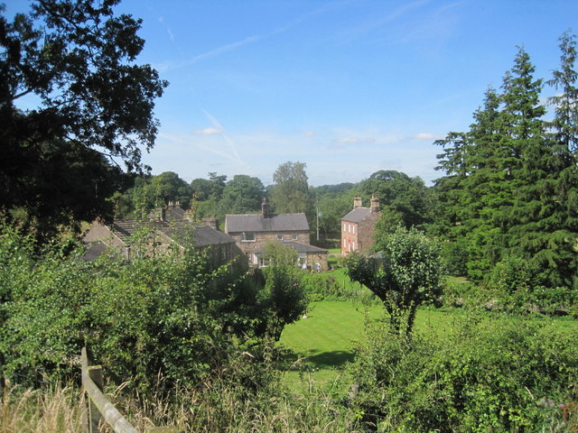
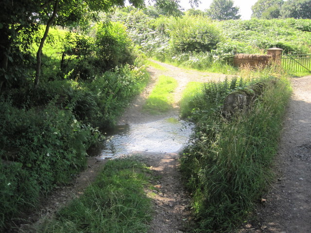
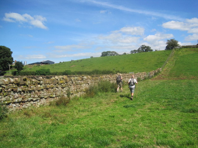
Hayton is a civil parish located in the county of Cumberland, in the northwest of England. It is situated about 5 miles northeast of the town of Brampton and approximately 10 miles east of Carlisle. The parish covers an area of around 9 square miles and is surrounded by beautiful countryside, including rolling hills and lush green fields.

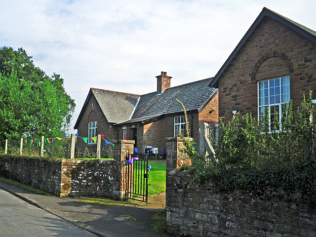
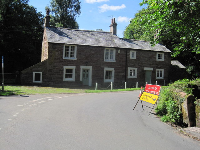
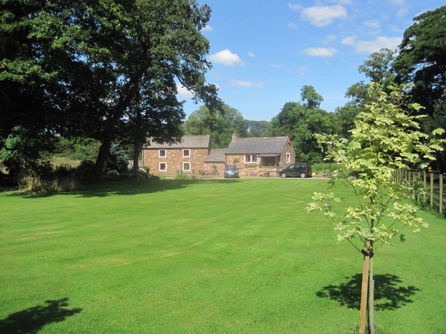
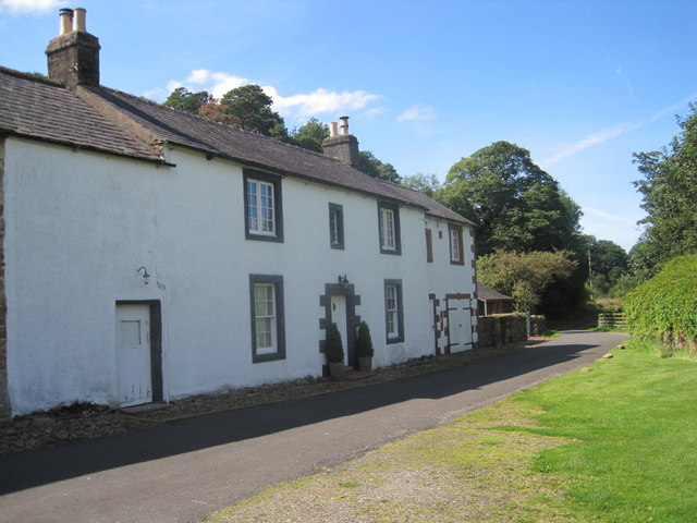
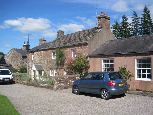
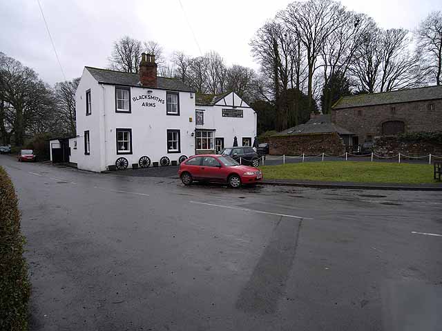
The village of Hayton itself is small and picturesque, with a population of around 300 residents. It is characterized by charming stone-built houses and cottages, many of which date back to the 18th and 19th centuries. The village has a strong sense of community and residents take great pride in maintaining its traditional character.

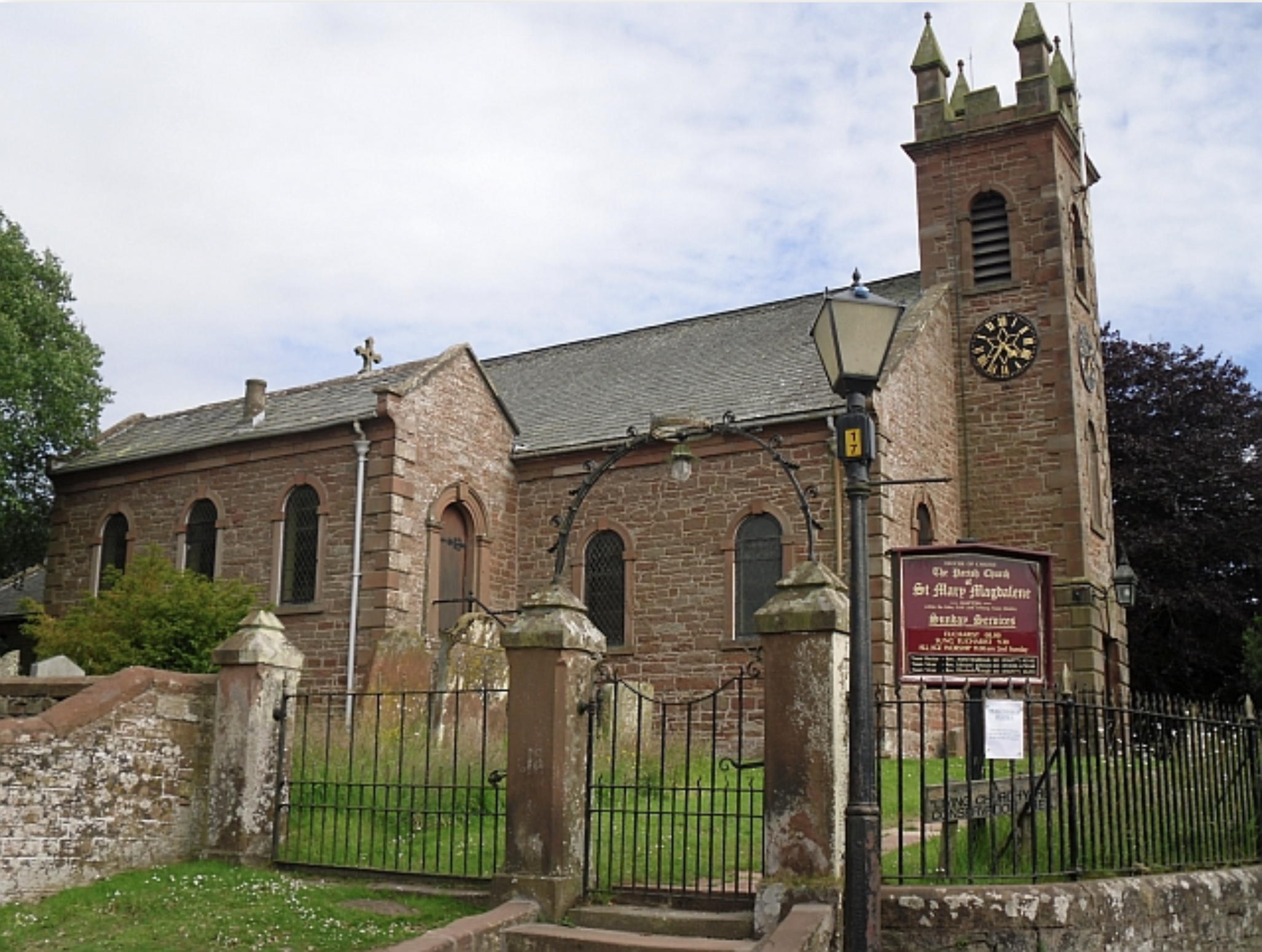
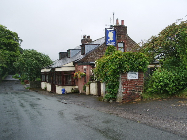
Hayton is well-served by amenities, including a primary school, a village hall, and a local pub. There are also several churches in the parish, which play an important role in the community.

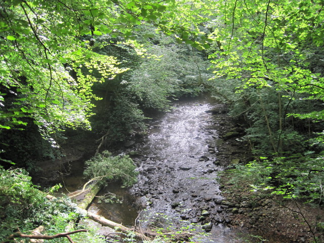
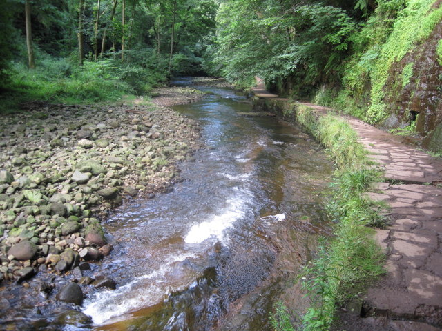
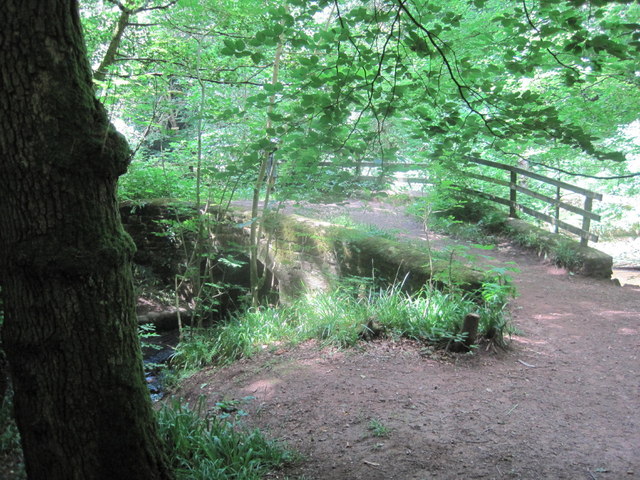
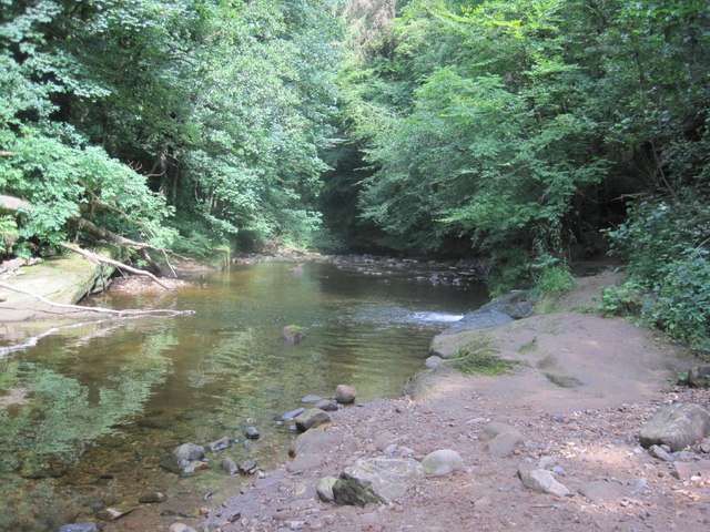
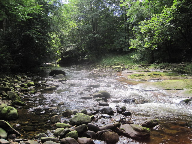
The area surrounding Hayton offers plenty of opportunities for outdoor activities such as walking, cycling, and horse riding. The nearby Hadrian's Wall, a UNESCO World Heritage Site, attracts many visitors who come to explore its ancient Roman ruins and enjoy the stunning views.

Overall, Hayton is a tranquil and picturesque civil parish with a close-knit community, making it an ideal place to live for those seeking a peaceful rural lifestyle.

If you have any feedback on the listing, please let us know in the comments section below.
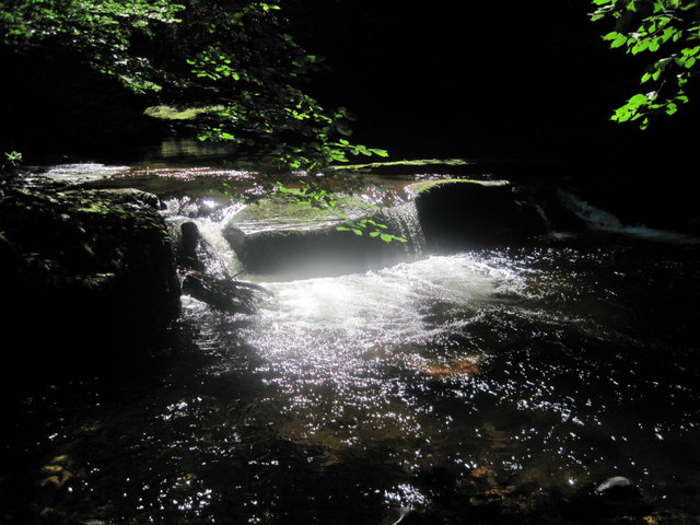
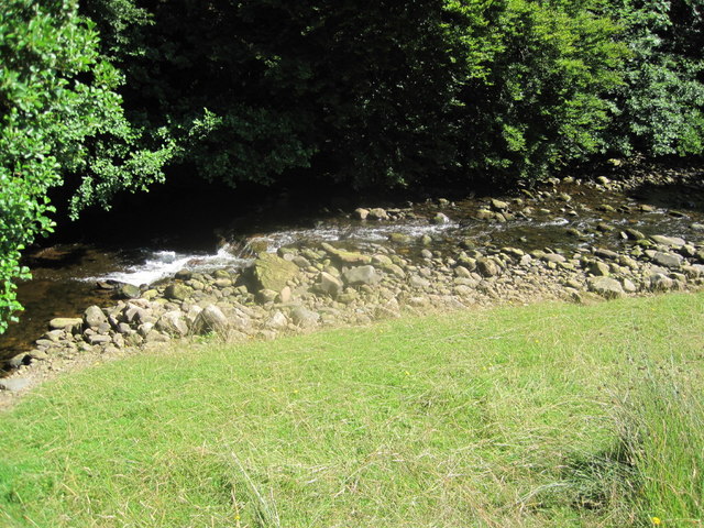
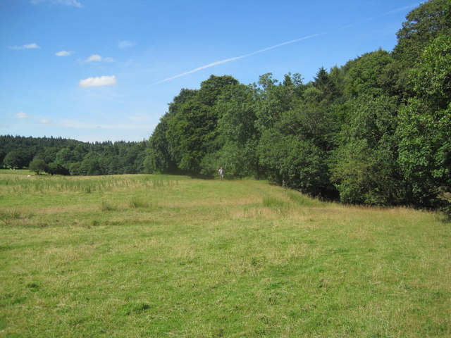
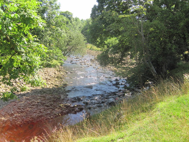
Hayton Images

Images are sourced within 2km of 54.904167/-2.743686 or Grid Reference NY5256. Thanks to Geograph Open Source API. All images are credited.

Hayton Reading Room The original building, on the left, dates from 1925. The gable end to the right is part of an extension which opened in 2011 (Cumberland News <span class="nowrap"><a title="http://www.cumberlandnews.co.uk/news/Hayton-villagers-delighted-with-new-community-hall-5373b5c7-78b7-433c-971f-948fe00d5788-ds" rel="nofollow ugc noopener" href="http://www.cumberlandnews.co.uk/news/Hayton-villagers-delighted-with-new-community-hall-5373b5c7-78b7-433c-971f-948fe00d5788-ds">Link</a><img style="margin-left:2px;" alt="External link" title="External link - shift click to open in new window" src="https://s1.geograph.org.uk/img/external.png" width="10" height="10"/></span> ).
The Reading Room was built in memory of Robert Ormston Lamb, with money bequeathed by his son, Everard Joseph Lamb. The family resided at Hayton House, a mansion since demolished, which was just up the road from here. EJ Lamb was killed in action in 1914 <span class="nowrap"><a title="http://www.rytonwarmemorials.org.uk/war_memorials/225/everard-joseph-lamb.php" rel="nofollow ugc noopener" href="http://www.rytonwarmemorials.org.uk/war_memorials/225/everard-joseph-lamb.php">Link</a><img style="margin-left:2px;" alt="External link" title="External link - shift click to open in new window" src="https://s1.geograph.org.uk/img/external.png" width="10" height="10"/></span> .
Hayton Reading Room
The original building, on the left, dates from 1925. The gable end to the right is part of an extension which opened in 2011 (Cumberland News LinkExternal link ). The Reading Room was built in memory of Robert Ormston Lamb, with money bequeathed by his son, Everard Joseph Lamb. The family resided at Hayton House, a mansion since demolished, which was just up the road from here. EJ Lamb was killed in action in 1914 LinkExternal link .
Sand Quarry near Low Gelt
River Gelt
River Gelt
Causeway Path alongside The River Gelt
Footbridge over Hell Beck
River Gelt
River Gelt
River Gelt
River Gelt
Former Inn Converted into a House
Waterfall on the River Gelt
Small Waterfall on the River Gelt
Footpath through Farmland near The River Gelt
River Gelt near Greenwell
Cottage at Greenwell
Greenwell
Greenwell
Cottages at Greenwell
Greenwell
Greenwell
Ford on the Castle Carrock Beck
Footpath towards Hill House Farm
Show me another place!

Hayton is located at Grid Ref: NY5256 (Lat: 54.904167, Lng: -2.743686)

Administrative County: Cumbria

District: Carlisle

Police Authority: Cumbria

What 3 Words

///printout.middle.straws. Near Brampton, Cumbria

Related Wikis

Gelt Bridge

The Gelt Bridge or Gelt Viaduct (also known as Middle Gelt Bridge) is a skew arch railway viaduct in the parish of Hayton, east of Carlisle in Cumbria...

How Mill railway station

How Mill was a railway station which served the village of The How, near Brampton in Cumbria. The station was closed in 1959, four years before the Beeching...

Hayton, Carlisle

Hayton is a small village and civil parish in Cumbria, England, roughly 8 miles (13 km) east of Carlisle, and 10 miles (16 km) from the England/Scotland...

How, Cumbria

How is a hamlet in the English county of Cumbria. How is located eight miles due east of the city of Carlisle, to the south of Hayton. There are many hotels...

Castle Carrock

Castle Carrock is a village and civil parish on the B6413 road, in the Cumberland District, in the English county of Cumbria about 3 miles (4.8 km) south...

Fenton, Cumbria

Fenton is a small village in the City of Carlisle district, in the English county of Cumbria. It is near the small town of Brampton.

Faugh, Cumbria

Faugh is a small village situated to the East of the City of Carlisle and within 15 minutes of the Scottish Border. The village has always been English...

Talkin

Talkin is a village in Cumbria, England, close to Talkin Tarn. == Etymology == The name is of Brittonic origin. The Brittonic dialect known as Cumbric...

Nearby Amenities

Located within 500m of 54.904167,-2.743686
Cowran Bridge
Naptan AtcoCode: 090033191408
Naptan Bearing: N
Naptan BusStopType: CUS
Naptan CommonName: Cowran Bridge
Naptan Indicator: o/s
Naptan Landmark: Cowran Bridge
Naptan NaptanCode: cumapwgj
Naptan Street: No name
Naptan Verified: no
Source: naptan_import
Lat/Long: 54.9034273/-2.7493113
Tow Top
Place: locality
Lat/Long: 54.9061288/-2.7384028
Cowran Woods
Natural: wood
Lat/Long: 54.9046939/-2.7382557
Power: pole
Lat/Long: 54.89979/-2.7442998
Power: pole
Lat/Long: 54.899963/-2.7417666
Power: pole
Lat/Long: 54.9086184/-2.7430287
Power: pole
Lat/Long: 54.9079216/-2.7435434
The data included in this document is from www.openstreetmap.org. The data is made available under ODbL.

Have you been to Hayton?

Leave your review of Hayton below (or comments, questions and feedback).