Hambleton
Civil Parish in Rutland
England
Hambleton
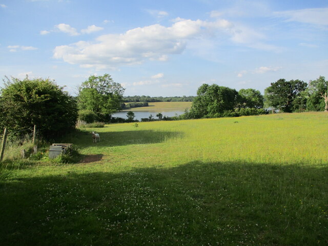
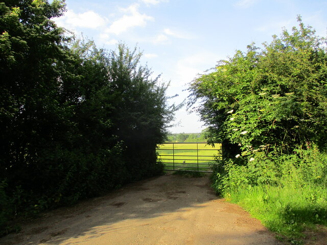
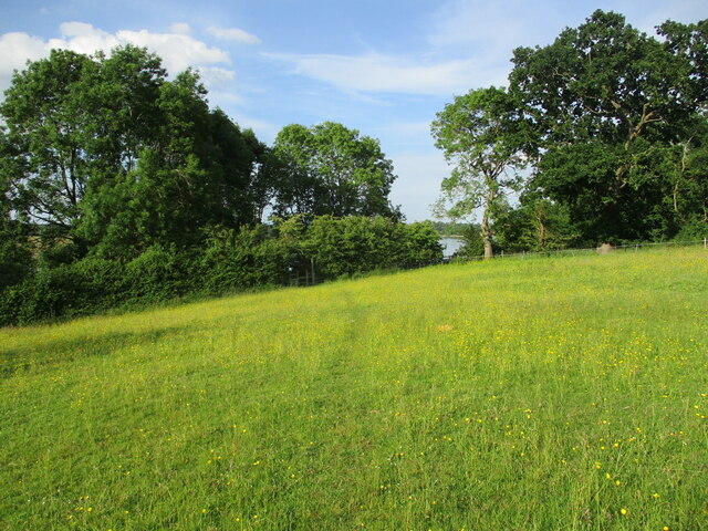
Hambleton is a civil parish located in the county of Rutland, England. Situated in the East Midlands region, it is a small village that is part of the district of Rutland. The village is surrounded by picturesque countryside, with rolling hills and open fields defining its landscape.
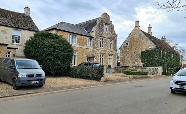
Hambleton is known for its beautiful stone houses, many of which date back several centuries. The village has a quaint and charming atmosphere, with a strong sense of community. It is home to a small population, with a mix of families and retirees residing in the area.
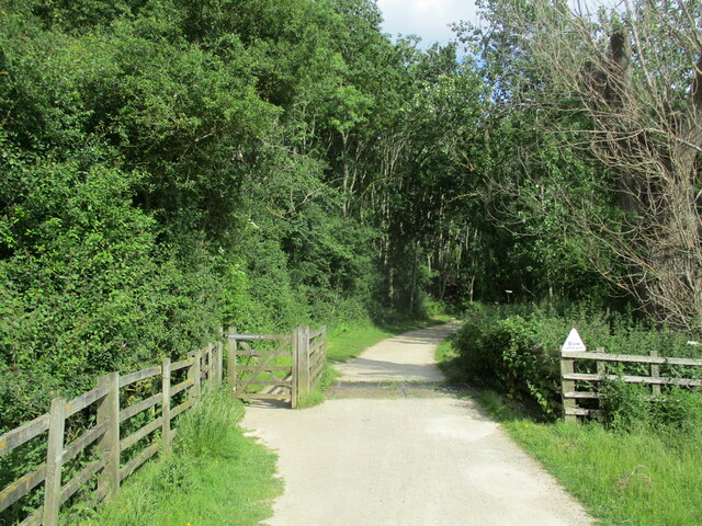
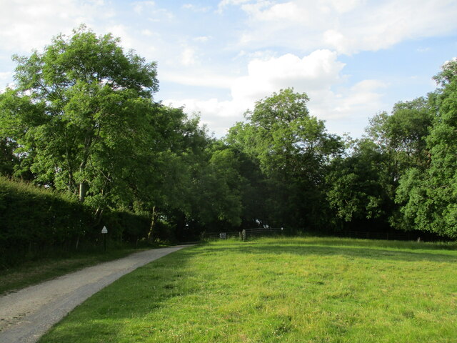
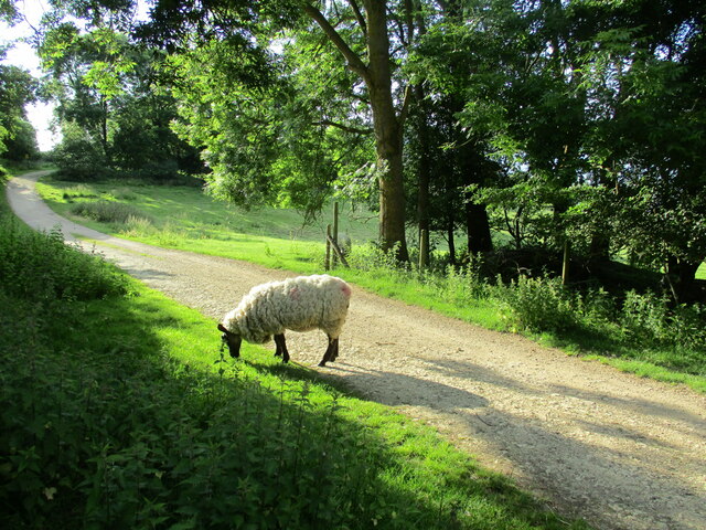
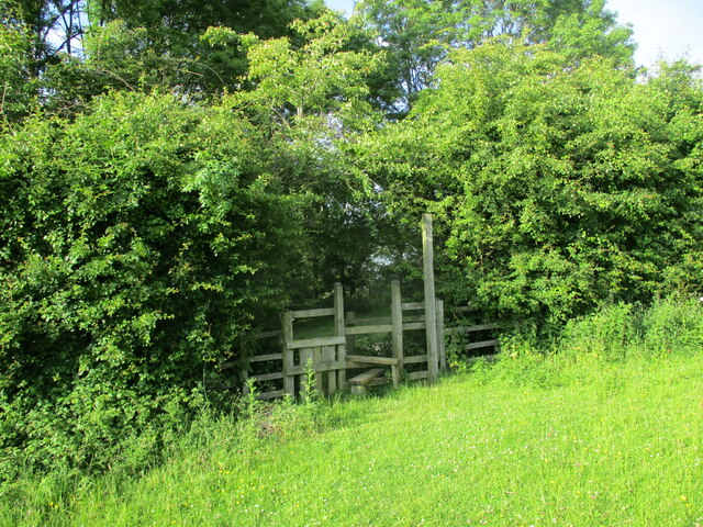
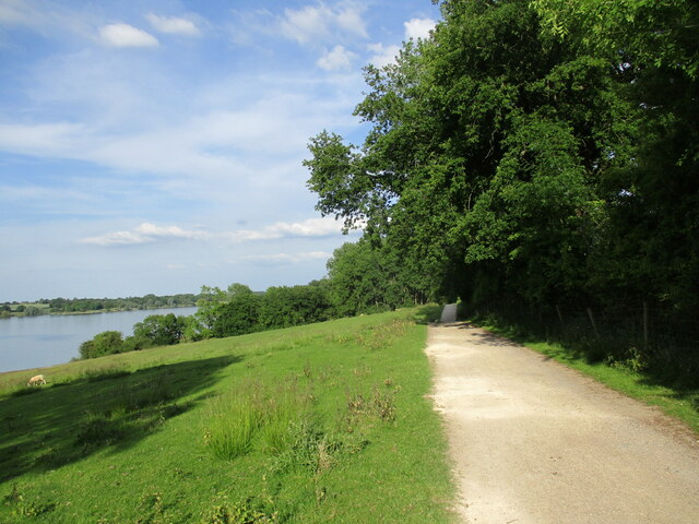
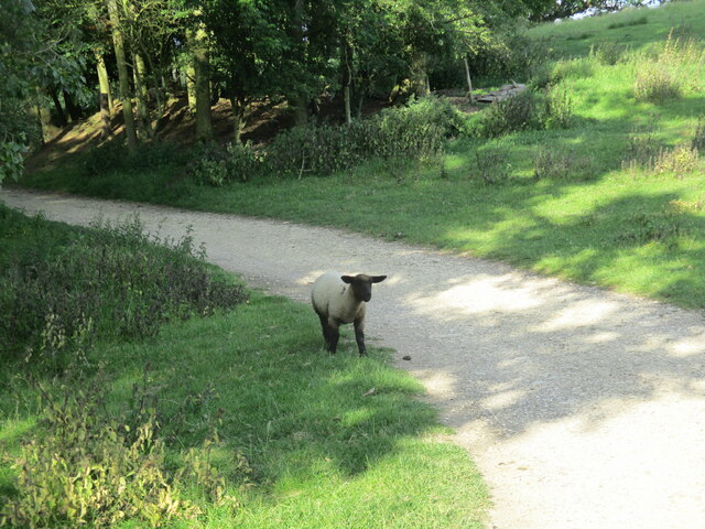
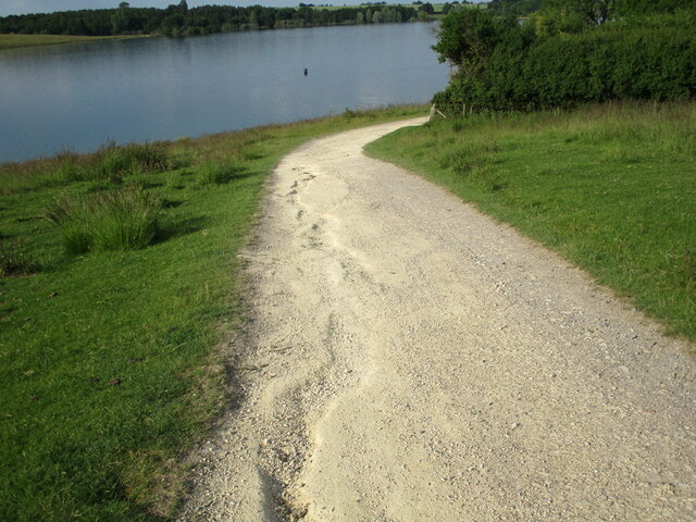
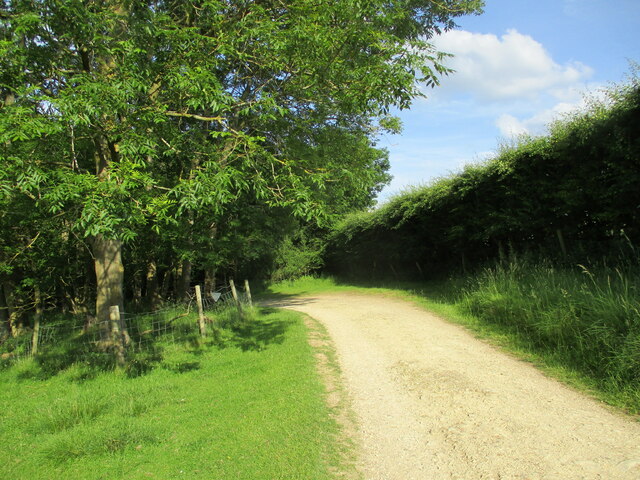
The village amenities include a church, a village hall, and a local pub, which serves as a gathering spot for residents. There are also several walking trails that allow visitors to explore the surrounding countryside and take in the natural beauty of the area.
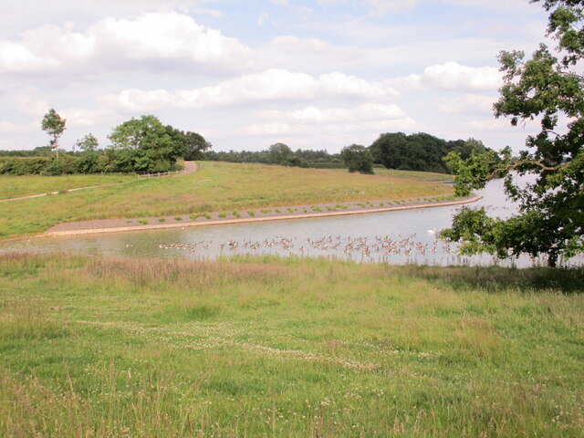
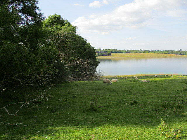
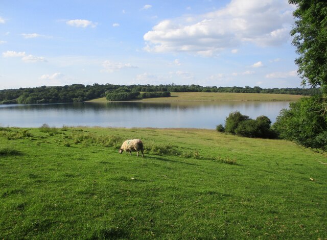
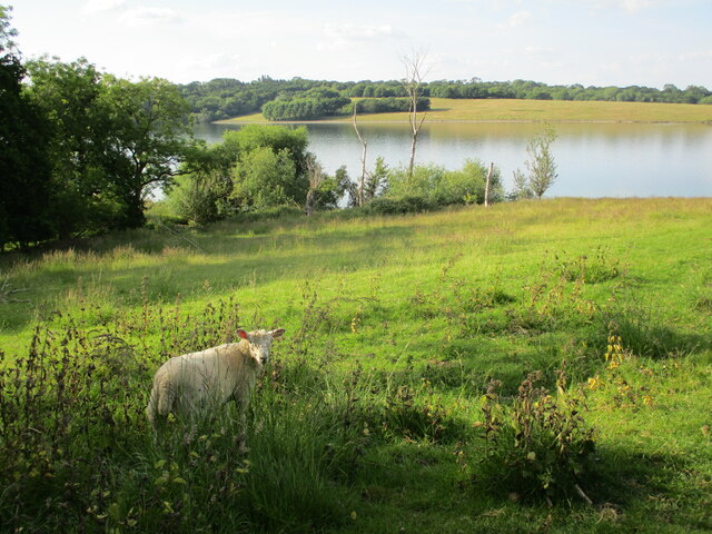
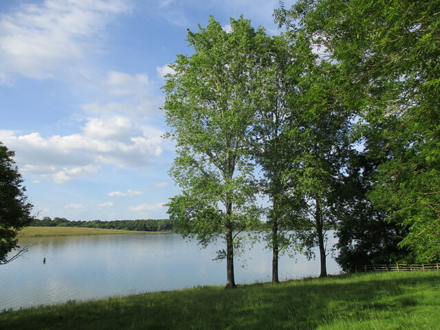
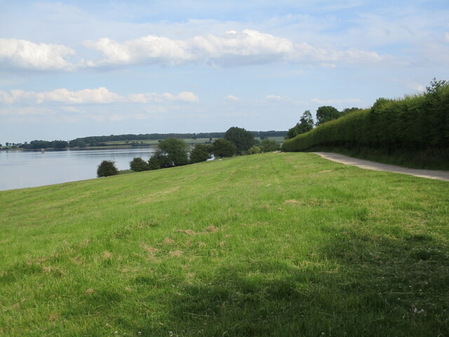
One of the notable features of Hambleton is Rutland Water, a large reservoir located nearby. The reservoir offers various recreational activities such as sailing, fishing, and birdwatching, attracting visitors from across the region.
Hambleton is well-connected to the rest of Rutland and the wider region. It is easily accessible by road, with the A6003 running through the village, providing links to nearby towns and cities. The village is also served by regular bus services, making it convenient for residents and visitors to travel to and from the area.
Overall, Hambleton is a peaceful and picturesque village, offering a tranquil escape from the hustle and bustle of city life. With its rich history, natural beauty, and strong sense of community, it is a charming place to live or visit.
If you have any feedback on the listing, please let us know in the comments section below.
Hambleton Images
Images are sourced within 2km of 52.65298/-0.669989 or Grid Reference SK9006. Thanks to Geograph Open Source API. All images are credited.
Hambleton is located at Grid Ref: SK9006 (Lat: 52.65298, Lng: -0.669989)
Unitary Authority: Rutland
Police Authority: Leicestershire
What 3 Words
///navy.wildfires.poppy. Near Edith Weston, Rutland
Nearby Locations
Related Wikis

Hambleton Hall, Rutland
Hambleton Hall is a hotel and restaurant located in the village of Hambleton close to Oakham, Rutland, England. The restaurant has held one star in the...

St Andrew's Church, Hambleton
St Andrew's Church is a church in Hambleton, Rutland. It is a Grade II* listed building. == History == The church dates from the early Norman era and possibly...
Hambleton, Rutland
Hambleton is a village and civil parish in Rutland, England. It is about two miles (3 km) east of Oakham. == Description == The village's name means 'maimed...

Vale of Catmose
The Vale of Catmose is an area of relatively low-lying land, much of which is flooded by Rutland Water, in western Rutland, England.The Catmose College...

Rutland Water
Rutland Water is a reservoir in Rutland, England, east of Rutland's county town, Oakham. It is filled by pumping from the River Nene and River Welland...

Hambleton Peninsula
The Hambleton Peninsula lies within the reservoir Rutland Water, in Rutland, England. When the Gwash Valley was dammed in 1975, the area surrounding what...
British Birdwatching Fair
The British Birdwatching Fair or Birdfair is an annual event for birdwatchers, held every August at Rutland Water in England, run by staff and volunteers...

Egleton
Egleton is a small village and civil parish in the county of Rutland in the East Midlands of England. It is situated south east of Oakham, and is close...
Nearby Amenities
Located within 500m of 52.65298,-0.669989Have you been to Hambleton?
Leave your review of Hambleton below (or comments, questions and feedback).