Grindleford
Civil Parish in Derbyshire Derbyshire Dales
England
Grindleford
Grindleford is a charming civil parish nestled in the heart of Derbyshire, England. Situated in the eastern part of the Peak District National Park, it is surrounded by breathtaking natural beauty and offers a peaceful retreat for both residents and visitors alike.
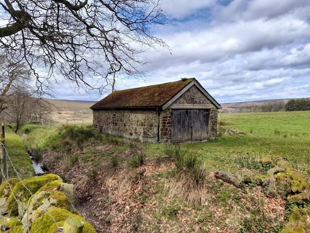
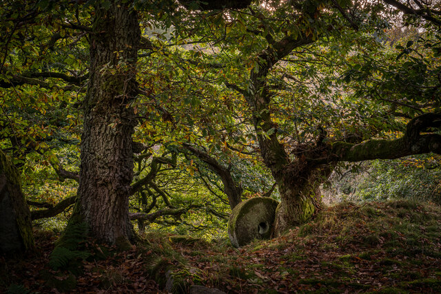
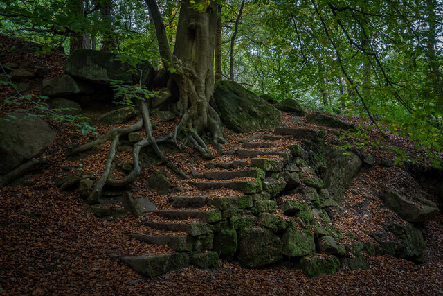
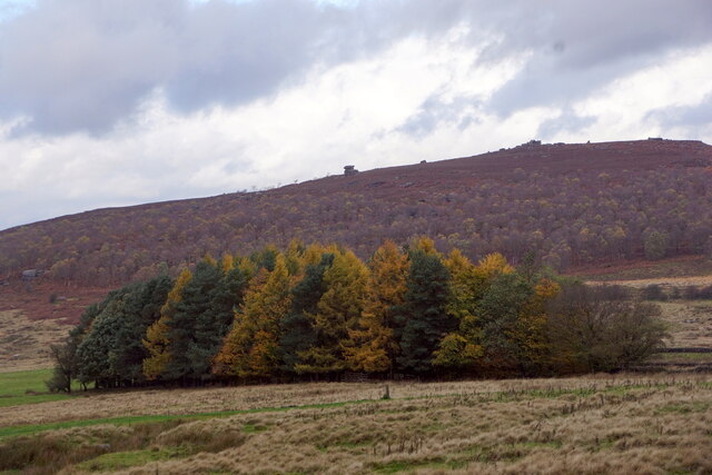
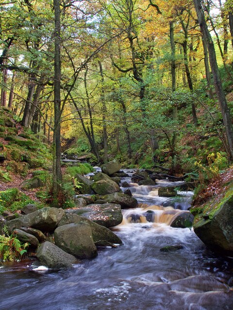
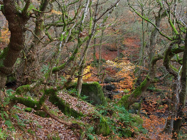
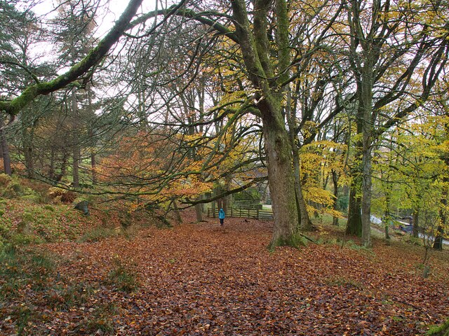
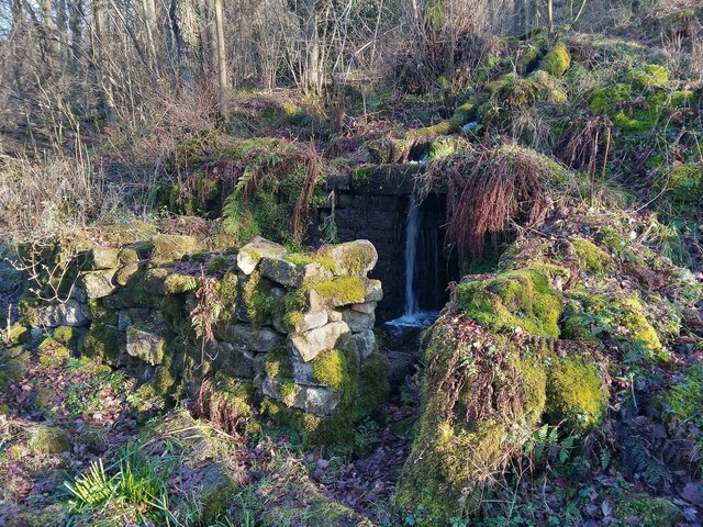
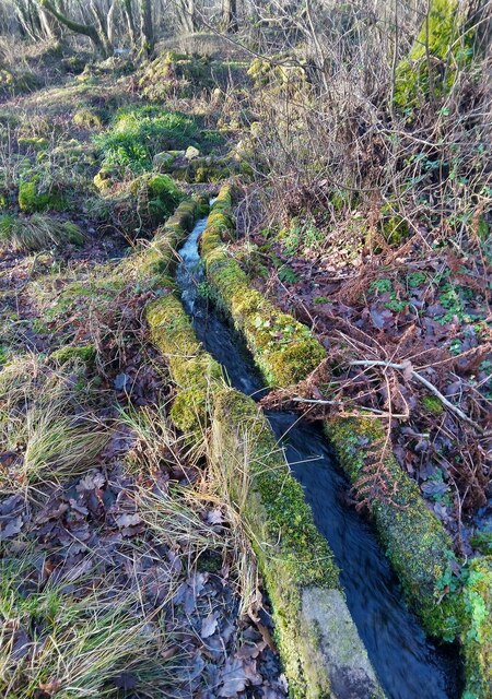
The village of Grindleford is located on the banks of the River Derwent and is characterized by its idyllic countryside setting, with rolling hills, lush green fields, and picturesque woodland areas. The area is a haven for outdoor enthusiasts, offering a plethora of walking, hiking, and cycling routes that showcase the stunning landscape.
The parish is home to a close-knit community, with a population of around 800 people. The village itself boasts a range of amenities, including a primary school, a post office, a village hall, and a handful of local shops and pubs. The community spirit is evident in the various events and activities that take place throughout the year, such as the annual village fete and the Grindleford Gallop, a popular running race.
Grindleford is also known for its rich history, with evidence of human habitation dating back to the Bronze Age. The area is dotted with historical landmarks, including the medieval St. Helen's Church, which dates back to the 12th century, and the nearby Padley Chapel, a 16th-century Catholic chapel that is now a pilgrimage site.
Overall, Grindleford offers a tranquil and picturesque setting, with a strong sense of community and a wealth of outdoor activities to enjoy. It is a hidden gem in Derbyshire, attracting nature lovers, history enthusiasts, and those seeking a peaceful escape in the heart of the English countryside.
If you have any feedback on the listing, please let us know in the comments section below.
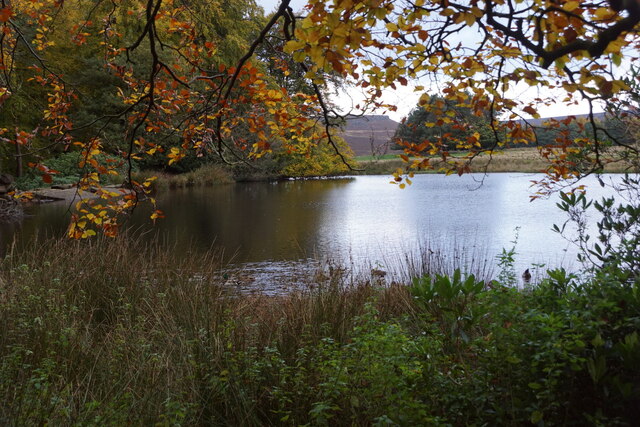
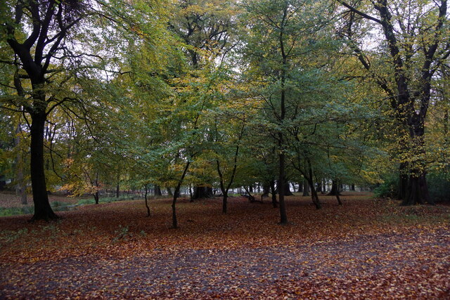
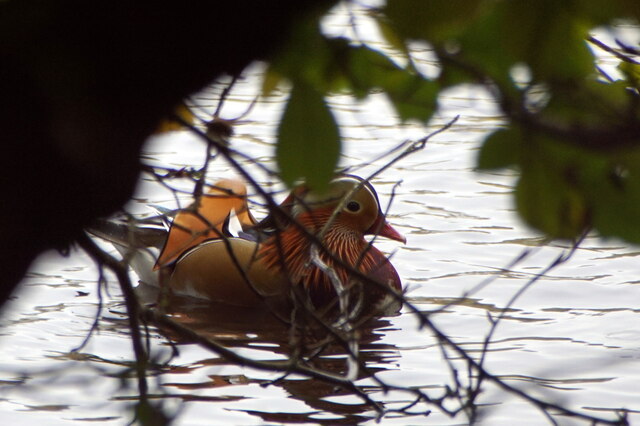
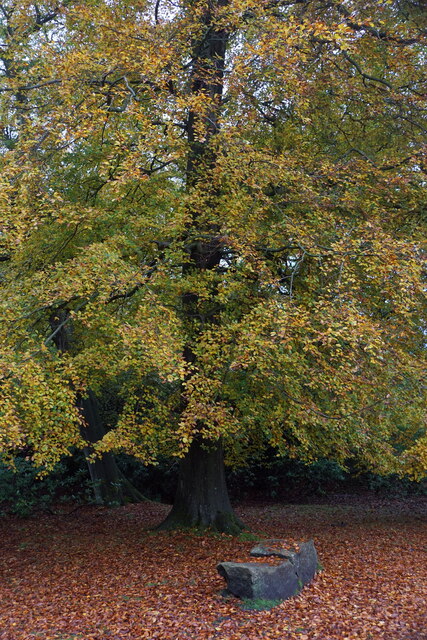
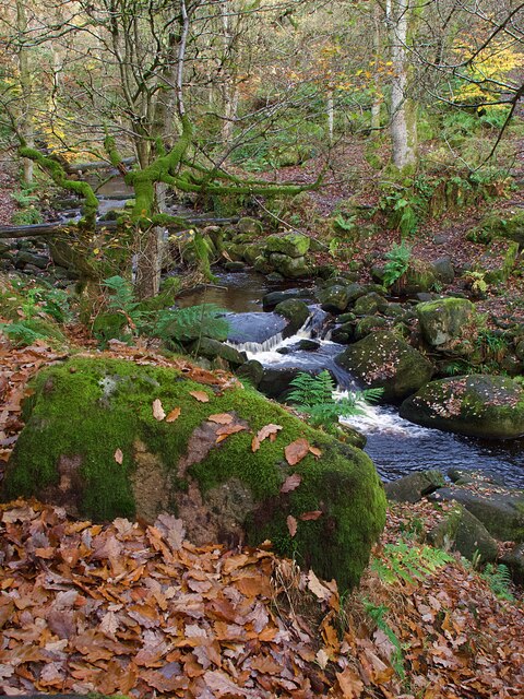
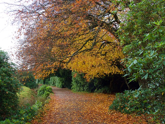
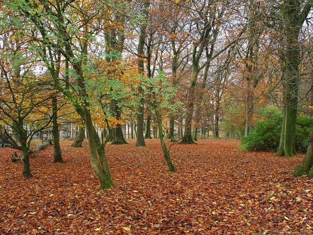
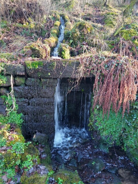
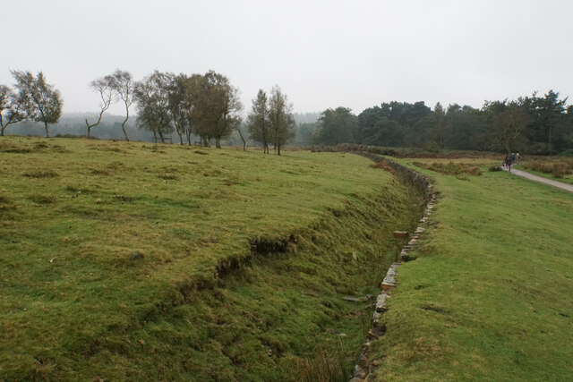
Grindleford Images
Images are sourced within 2km of 53.304371/-1.629757 or Grid Reference SK2478. Thanks to Geograph Open Source API. All images are credited.
Grindleford is located at Grid Ref: SK2478 (Lat: 53.304371, Lng: -1.629757)
Administrative County: Derbyshire
District: Derbyshire Dales
Police Authority: Derbyshire
What 3 Words
///grounding.sailor.farmed. Near Hathersage, Derbyshire
Nearby Locations
Related Wikis

Padley Hall
Padley Hall (or Padley Manor) was an Elizabethan great house overlooking the River Derwent near Grindleford, Derbyshire, England. The remains of the hall...

Padley Chapel
Padley Chapel is a building in Grindleford, England, on the site of the former Padley Hall (or Padley Manor). It is a Grade I listed building. == Padley... ==
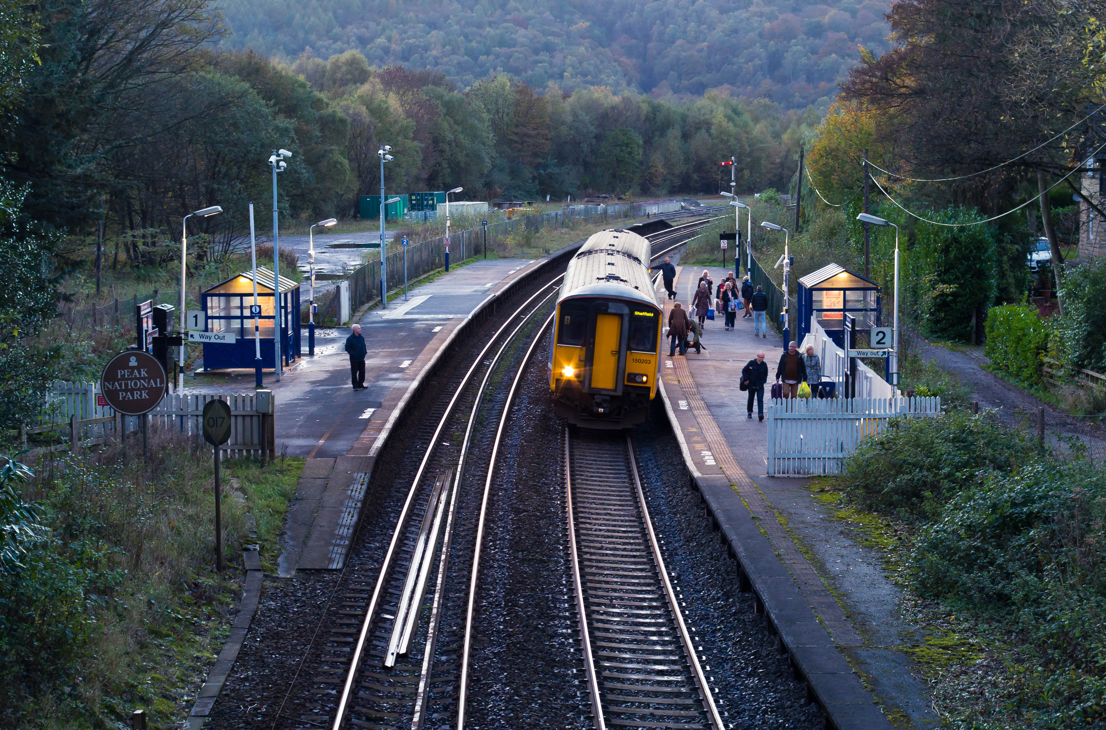
Grindleford railway station
Grindleford railway station serves the village of Grindleford in the Derbyshire Peak District, England. It is located 1 mile (1.6 km) away from the village...

Padley Gorge
Padley Gorge is a deep but narrow valley in the Peak District, Derbyshire between the village of Grindleford and the A6187 road. The gorge is wooded with...
Nearby Amenities
Located within 500m of 53.304371,-1.629757Have you been to Grindleford?
Leave your review of Grindleford below (or comments, questions and feedback).