Field Dalling
Civil Parish in Norfolk North Norfolk
England
Field Dalling
Field Dalling is a civil parish located in the county of Norfolk, England. Situated within the district of North Norfolk, it covers an area of approximately 10 square kilometers. The parish consists of three villages: Field Dalling, Saxlingham, and Morston.
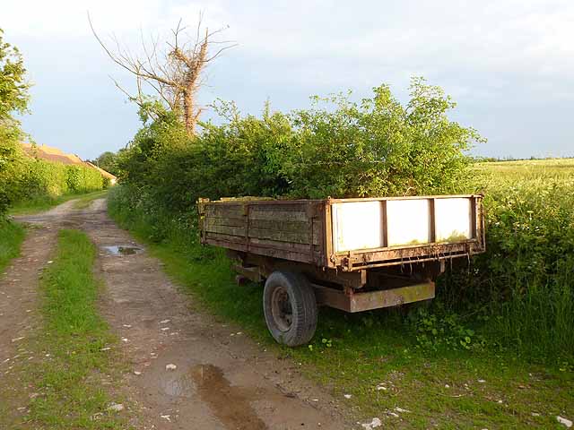
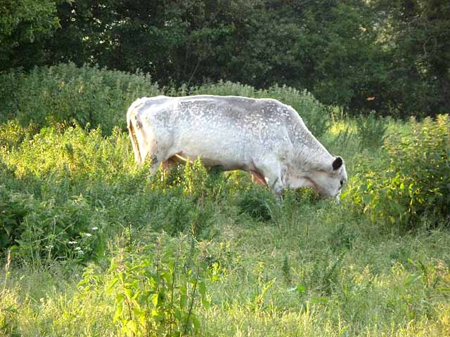
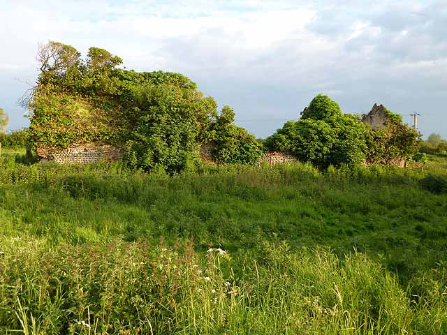
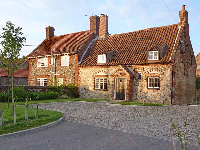
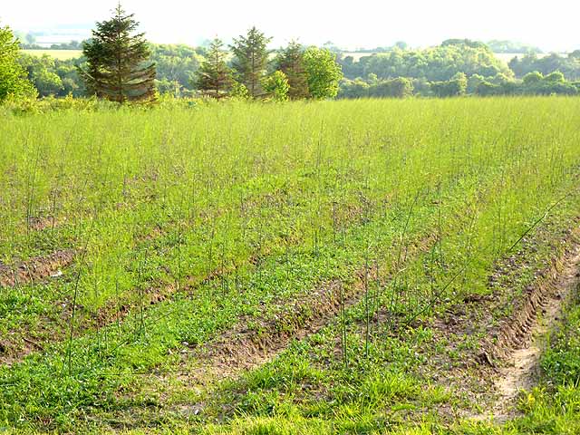
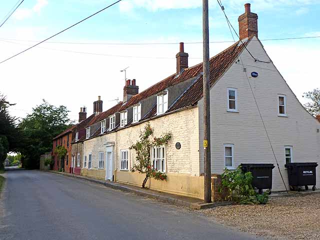
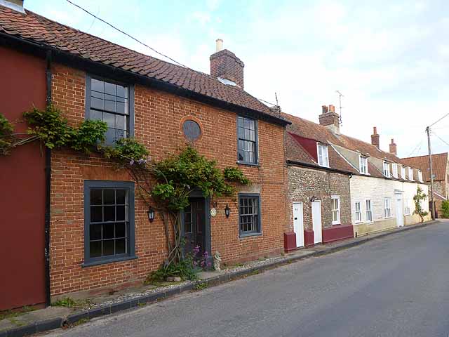
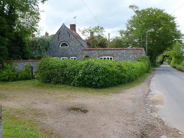
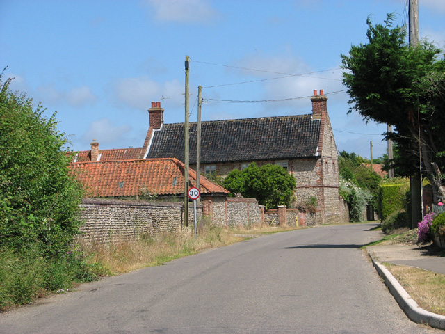
Field Dalling is a small village with a population of around 200 people. It is located about 6 miles northwest of Holt and 4 miles east of Blakeney. The village is characterized by its picturesque rural setting, with rolling fields, meadows, and charming country lanes. It is surrounded by the beautiful Norfolk countryside, offering a peaceful and tranquil atmosphere.
The village of Field Dalling is centered around its historic parish church, All Saints. Dating back to the 14th century, the church is a prominent feature of the village and is known for its distinctive tower. The church is a popular attraction for visitors and locals alike, with its impressive architecture and historical significance.
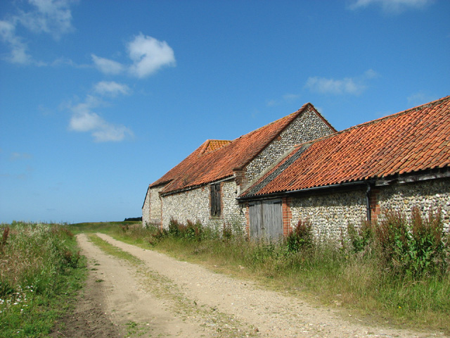
Saxlingham is a small hamlet within the parish, located to the southwest of Field Dalling. It is known for its traditional Norfolk flint cottages and its proximity to the River Glaven. Morston, on the other hand, is a coastal village located to the north of Field Dalling. It is renowned for its picturesque harbor and its connection to the Norfolk Broads, making it a popular destination for boating enthusiasts.
Overall, Field Dalling and its surrounding villages offer a charming and idyllic setting for residents and visitors, with their rich history, natural beauty, and tranquil atmosphere.
If you have any feedback on the listing, please let us know in the comments section below.
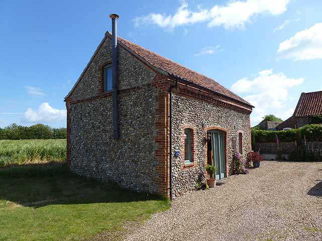
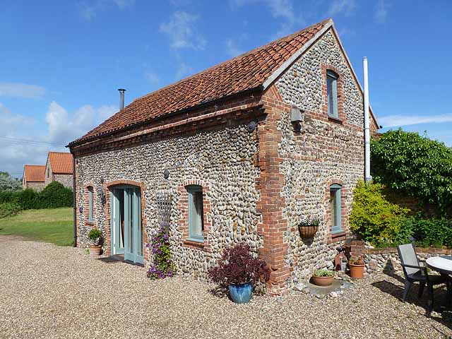
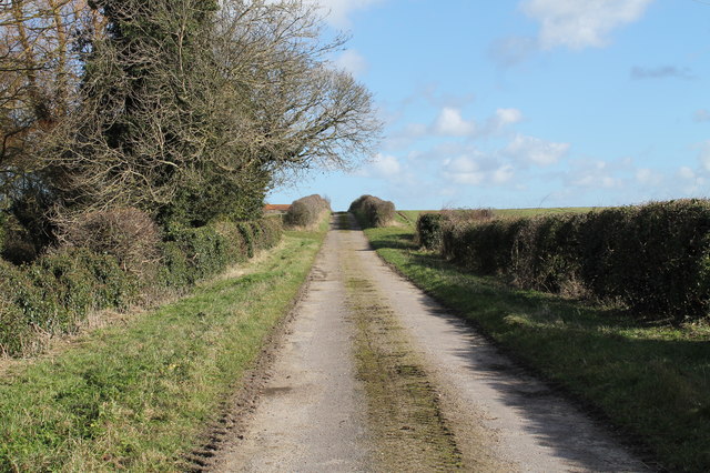
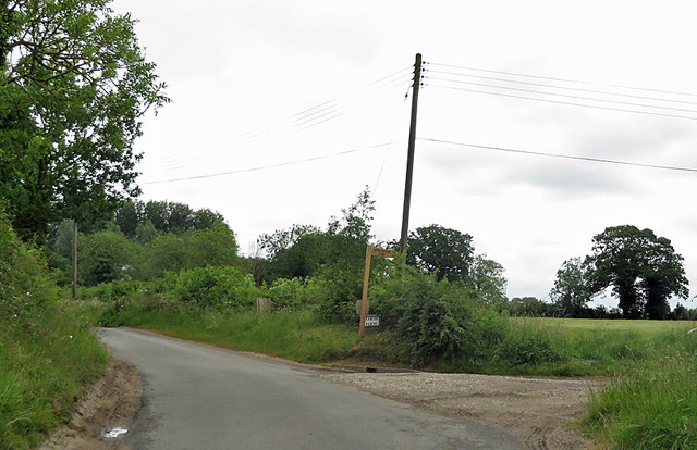
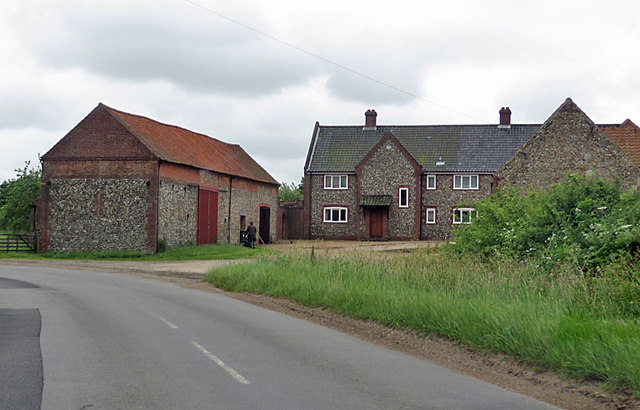
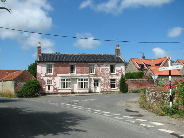
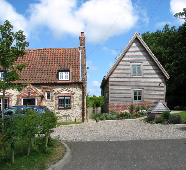
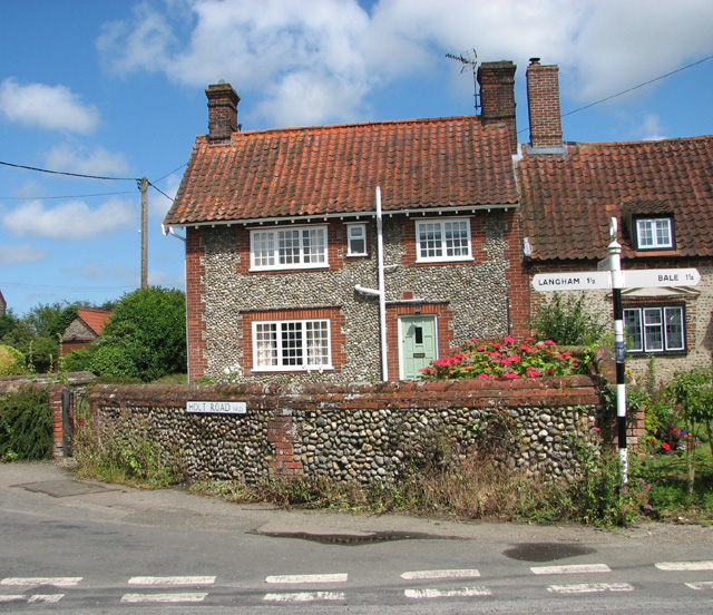
Field Dalling Images
Images are sourced within 2km of 52.909691/0.984151 or Grid Reference TG0038. Thanks to Geograph Open Source API. All images are credited.
Field Dalling is located at Grid Ref: TG0038 (Lat: 52.909691, Lng: 0.984151)
Administrative County: Norfolk
District: North Norfolk
Police Authority: Norfolk
What 3 Words
///amps.parsnip.walks. Near Briston, Norfolk
Nearby Locations
Related Wikis

Field Dalling
Field Dalling is a village and civil parish in the English county of Norfolk. The village is located 4.5 miles (7.2 km) west of Holt and 23 miles (37 km...

Saxlingham
Saxlingham is a village and former civil parish, now in the parish of Field Dalling, in the North Norfolk district, in the county of Norfolk, England....

Bale, Norfolk
Bale is a village and former civil parish, now in the parish of Gunthorpe, in the North Norfolk district, in the county of Norfolk, England. The village...
Bale Oak
The Bale Oak was a large oak tree in Bale, a village in northern Norfolk, England that was over 500 years old when it was felled in 1860. It measured 36...
Lower Green Mill, Hindringham
Lower Green Mill is a tower mill at Lower Green, located to the north of the village of Hindringham in the English county of Norfolk. The mill stands on...

Langham, Norfolk
Langham is a village and a civil parish in the English county of Norfolk. The village is 14.7 miles (23.7 km) west of Cromer, 27.2 miles (43.8 km) northwest...

Binham
Binham is a village and a civil parish in the English county of Norfolk. The village is 29.3 miles (47.2 km) north west of Norwich, 16.9 miles (27.2 km...

Binham Priory
St Mary's Priory, Binham, or Binham Priory, is a ruined Benedictine priory located in the village of Binham in the English county of Norfolk. Today the...
Nearby Amenities
Located within 500m of 52.909691,0.984151Have you been to Field Dalling?
Leave your review of Field Dalling below (or comments, questions and feedback).